The best road cycling routes around Killyvally
60
riders
16
rides
Road cycling routes around Killyvally traverse a landscape characterized by rolling terrain and forested areas, with routes often incorporating local landmarks. The region features moderate elevation gains, providing varied gradients for road cyclists. Many routes are designed as loops, starting and ending in nearby towns and villages. The area's physical features include established forest trails and open roads connecting different points of interest.
Best road cycling routes around Killyvally
- The most popular road cycling route is Garvagh Pyramid – Garvagh…
Last updated: July 9, 2026
8
riders
80.2km
03:26
610m
610m
Moderate road ride. Good fitness required. Some segments of this route may be unpaved and difficult to ride.
7
riders
85.0km
03:35
560m
560m
Moderate road ride. Good fitness required. Some segments of this route may be unpaved and difficult to ride.

Sign up for free
5
riders
68.0km
02:59
460m
460m
Moderate road ride. Good fitness required. Mostly well-paved surfaces and easy to ride.
3
riders
81.6km
03:32
540m
540m
Moderate road ride. Good fitness required. Some segments of this route may be unpaved and difficult to ride.
3
riders
43.4km
01:53
300m
300m
Moderate road ride. Good fitness required. Some segments of this route may be unpaved and difficult to ride.
Get access to more routes and recommendations from other explorers.
Sign up for free
Already have an account?
Our route recommendations are based on thousands of hikes, rides, and runs completed by other people on komoot.
Start today with a free account
Your next adventure awaits.
Login or Signup
Popular around Killyvally
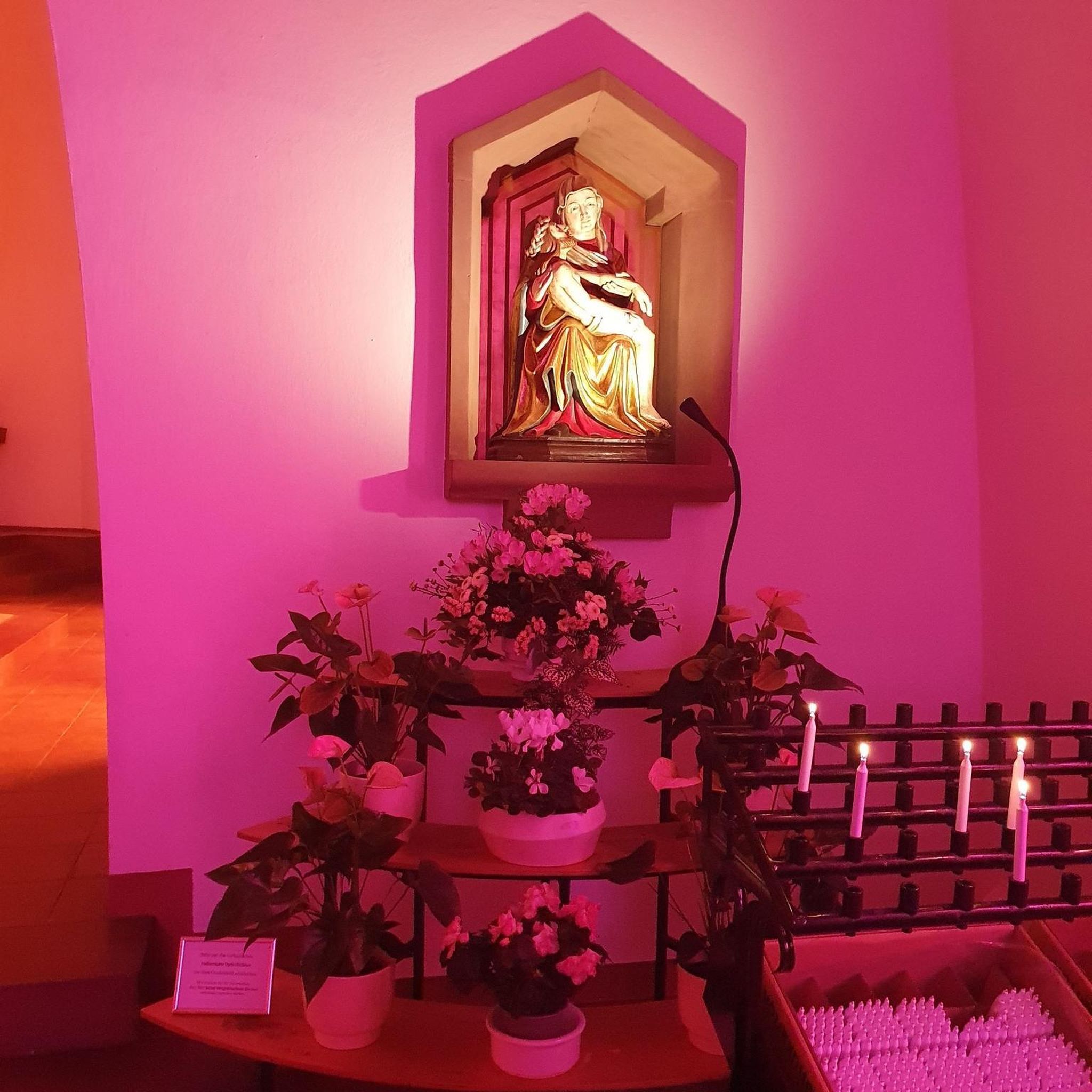
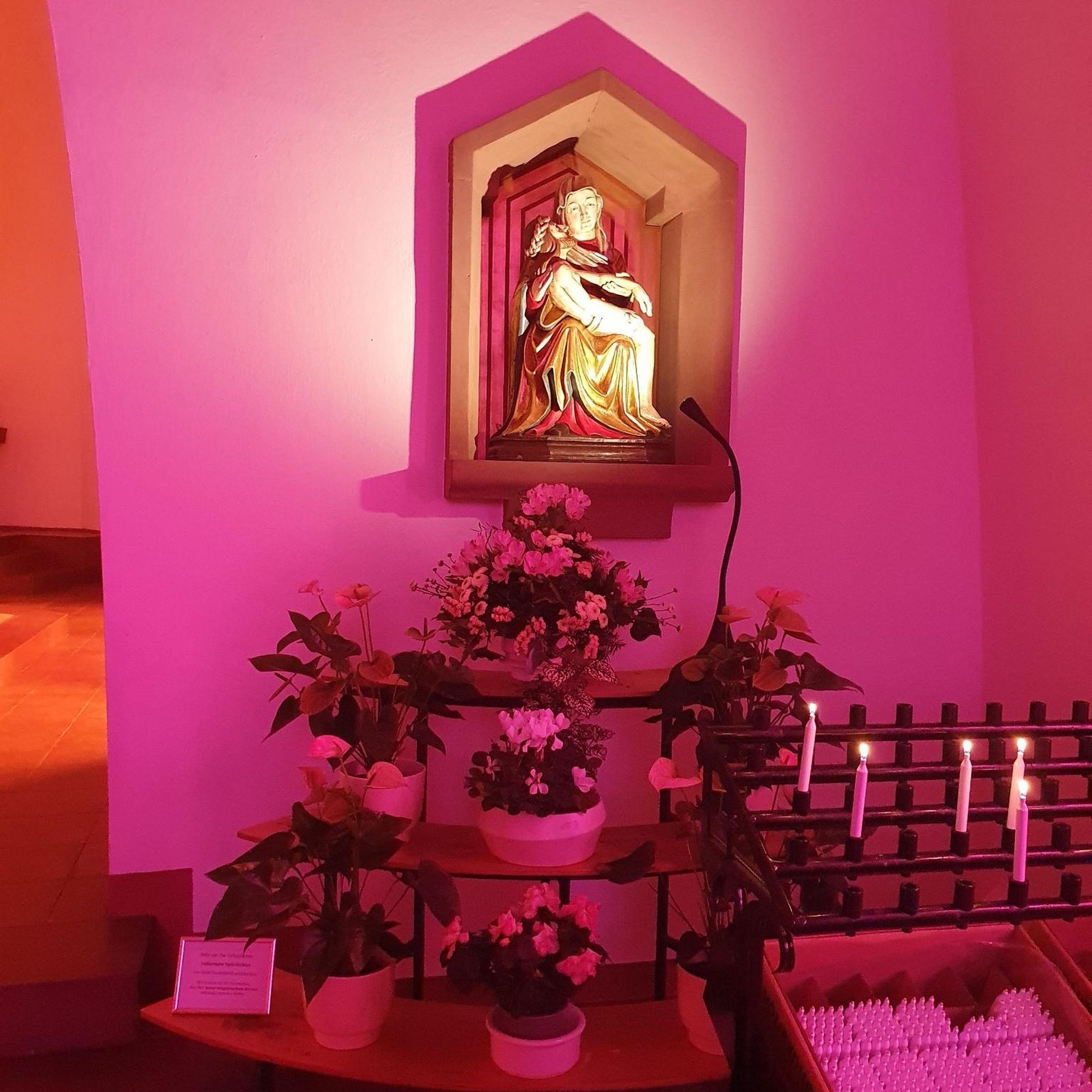
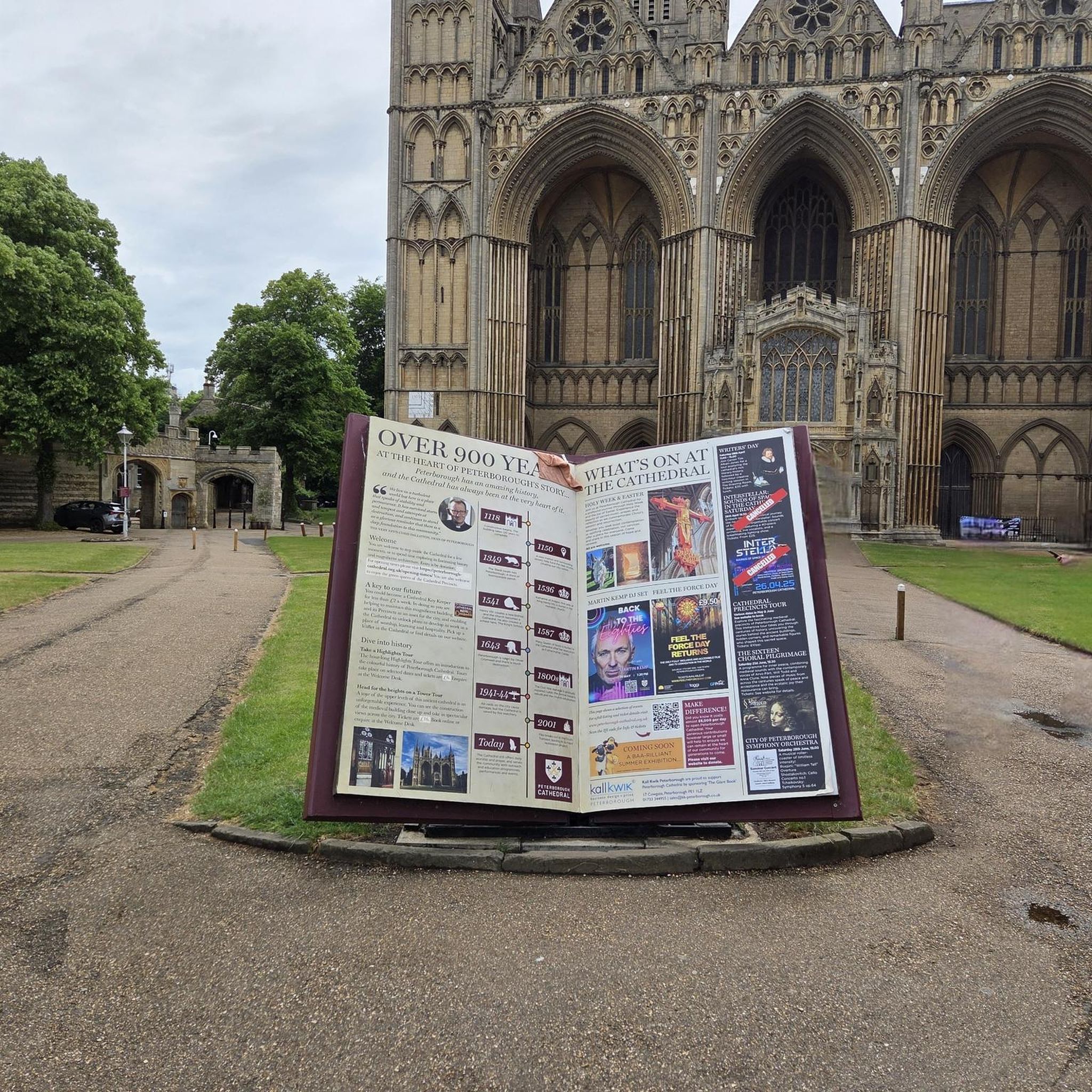
Tips from the Community


Quiet road from Coleraine to Castlerock avoiding busy road. Fun descent!
0
0

In a very nice little square, with benches and many shops in the pedestrian area.
1
0

This is the best preserved court tomb in the Causeway Coast area. A Neolithic tomb dating from c.4000 to 2000 BC. It was excavated twice, in 1935 and 1975. It consists of a horse shoe shaped forecourt that leads into a small chamber. There is a cremation passage behind the chamber containing three pits, one of these pits held the remains of several people. This form of cremation passage is the only one of its type found in Ireland.
0
0
Contained within the ruins is a sculpture of the crucifixion, which is thought to date from the 10th Century, making it one of the oldest in Ireland. St Lurach founded an important church here in the 6th century. It was plundered by Vikings in 832 and burned in 1135. Following the 12th-century ecclesiastical reforms this was the seat of a bishop from the mid 12th to the mid 13th century, then served as parish church until the new church across the road was built in the early 19th century. This long history is reflected in the much patched and altered fabric, and the big uneven graveyard.
0
0


It's quite an unusual experience stumbling into a pyramid in the middle of an Irish forest! This pyramid was built in the 19th century as a burial chamber for Lord Garvagh and is a lovelly feature to the forest today.
2
0

If there's a good bench out in the wild then it's always a good idea to take a rest. You never know when you'll fund another bench.
1
0
Frequently Asked Questions
How many road cycling routes are available in Killyvally?
There are 17 road cycling routes around Killyvally, all of which are rated as moderate difficulty.
What is the typical difficulty level of road cycling routes in Killyvally?
All 17 road cycling routes in Killyvally are rated as moderate. This means they offer varied gradients and rolling terrain suitable for cyclists with some experience.
What kind of terrain can I expect on Killyvally's road cycling routes?
Road cycling routes around Killyvally feature rolling terrain and forested areas. You'll encounter moderate elevation gains, established forest trails, and open roads connecting various points of interest.
Are the road cycling routes in Killyvally typically loop trails?
Yes, many of the road cycling routes in Killyvally are designed as loops, starting and ending in nearby towns and villages. For example, the Garvagh Pyramid – Garvagh Forest Trails loop from Castledawson is a popular circular option.
Are there options for longer road cycling routes in Killyvally?
Yes, Killyvally offers several longer routes. The Garvagh Pyramid – Garvagh Forest Trails loop from Knockloughrim covers approximately 52.8 miles (85.0 km), providing an extensive ride through the area.
Are there options for shorter road cycling routes in Killyvally?
For a shorter ride, consider the Garvagh Pyramid – Garvagh Forest Trails loop from Kilrea, which is about 26.7 miles (42.9 km) long and offers a good taste of the region's cycling.
When is the best time of year for road cycling in Killyvally?
The best time for road cycling in Killyvally is typically during the spring, summer, and early autumn months when the weather is milder and the forested areas are in full bloom. Always check local weather forecasts before heading out.
Where can I find parking for road cycling routes in Killyvally?
Many routes start from towns and villages like Castledawson, Knockloughrim, or Coleraine, where public parking is often available. It's advisable to check specific starting points for parking facilities before your ride.
Are there places to stop for refreshments along the road cycling routes?
As routes often connect towns and villages, you will find opportunities for refreshments in these settlements. Plan your route to include stops in places like Castledawson, Knockloughrim, or Coleraine for cafes and pubs.
What makes road cycling in Killyvally scenic?
Road cycling in Killyvally is scenic due to its rolling hills, established forest trails, and open rural roads that often incorporate local landmarks. The routes provide views of the region's natural beauty and agricultural landscapes.
How can I find less crowded road cycling routes in Killyvally?
While Killyvally's routes are generally not overly crowded, exploring during off-peak hours or weekdays can offer a more solitary experience. Routes that venture further into the rural areas might also be quieter.
What do other road cyclists enjoy most about road cycling in Killyvally?
Over 65 road cyclists have used komoot to explore Killyvally. They often appreciate the varied terrain, the mix of open roads and forest-adjacent sections, and the well-designed loop routes that showcase the region's landscape.
Most popular routes around Killyvally

Get inspired with the komoot mobile app


Explore more
Browse the best Road cycling routes in other regions.
