The best walks and hikes around Annaghmore
4.1
(11)
73
hikers
Hikes around Annaghmore County Armagh provide access to a varied landscape of rolling hills, dense forests, and expansive lough shores. The area is situated near notable natural features including the Sperrin Mountains and the shores of Lough Neagh. The network of trails includes routes through managed forests like Iniscarn and ascents to local summits, offering options for different fitness levels.
Best hiking trails around Annaghmore
- The most popular hiking route is Slieve Gallion NE Top via Iniscarn Forest, a…
Last updated: June 25, 2026
5.0
(6)
46
hikers
9.27km
02:53
370m
370m
Moderate hike. Good fitness required. Easily-accessible paths. Suitable for all skill levels.
2.7
(3)
18
hikers
16.5km
04:52
480m
480m
Moderate hike. Good fitness required. Mostly accessible paths. Sure-footedness required.

Sign up for free
33.4km
09:37
830m
830m
Hard hike. Very good fitness required. Mostly accessible paths. Sure-footedness required.
4.5
(2)
6
hikers
8.97km
02:50
370m
370m
Moderate hike. Good fitness required. Easily-accessible paths. Suitable for all skill levels.
3
hikers
2.88km
00:52
100m
100m
Easy hike. Great for any fitness level. Easily-accessible paths. Suitable for all skill levels.
Our route recommendations are based on thousands of hikes, rides, and runs completed by other people on komoot.
Start today with a free account
Your next adventure awaits.
Login or Signup
Popular around Annaghmore

Tips from the Community

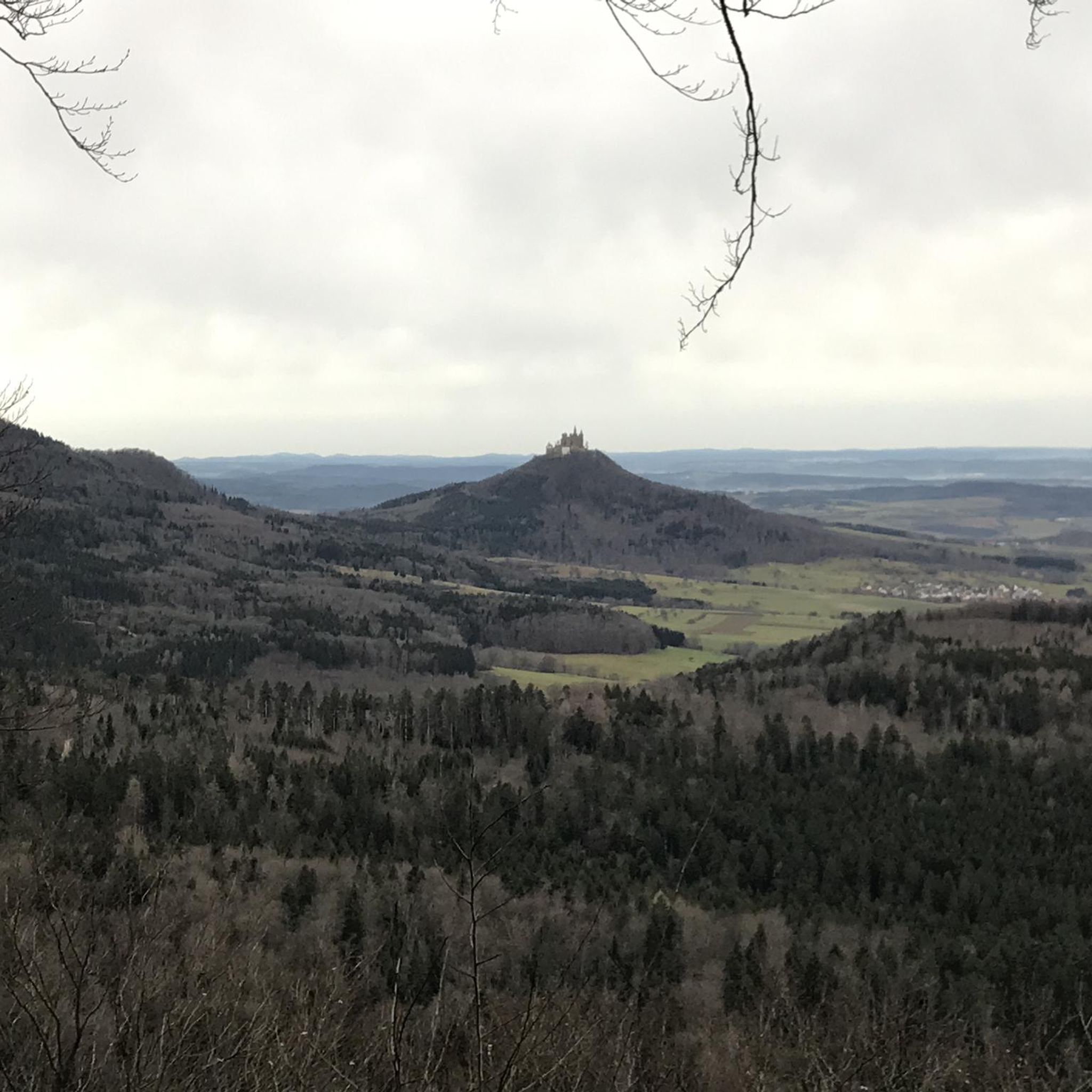
Slieve Gallion NE Top is a mountain summit in the region in the county of Mid-Ulster, Ireland. It stands at 496m and provides sensational views across the Sperrins mountain range and lough neagh.
2
0
An enjoyable 4km walking track leads you around the serene Lough Fea in the eastern Sperrins in Northern Ireland. The scenery is mountainous and panoramic, and the calm waters bring many anglers and are home to a number of fascinating bird species, often seen flitting along the lake. The walk is lovely and flat and features a children's play area, toilets, and plenty of rain shelters in case of unpredictable weather.
4
0
Slieve Gallion is a mountain located on the eastern edge of the Sperrins in County Londonderry. It rises to a height of 528m and affords the visitor wonderful views across the surrounding countryside.
2
0

Great climb and view of the sperins and lough neagh
1
1

Wonderful views down the long slopes of Slieve Gallion towards the town of Magherafelt.
1
0
On the way back, after Point 4, there is a large segment over private land. No access allowed. On the way back, the route goes over private land where walking is not allowed. We were turned back by the landowner and were not allowed to continue on his property (from point 4 to 5 on the route)! We had to walk about 6 km extra to get to the starting point (A)!
3
1

Frequently Asked Questions
How difficult are the hikes around Annaghmore?
The trails around Annaghmore cater to a range of abilities. You'll find everything from short, easy walks like the Inniscarn Forest loop from Desertmartin, which is perfect for a quick stroll, to more demanding routes. The terrain generally involves forest paths and ascents to hill summits.
Are there any particularly challenging hikes in the area?
Yes, for experienced hikers looking for a challenge, the Slieve Gallion Memorial Path and Lough Fea — Sperrins is a difficult, long-distance trek of over 33 km. Another strenuous option is the hike to the summit of Slieve Gullion in the nearby Ring of Gullion Area of Outstanding Natural Beauty, which rewards with panoramic views.
Can I find any good circular walks?
Absolutely. Many trails in the region are designed as loops, allowing you to start and finish in the same place. A great example is the Slieve Gallion NE Top Summit loop from Desertmartin, which offers a satisfying circuit with significant elevation gain. Peatlands Park and Gosford Forest Park also feature multiple circular paths.
Are there any easy, family-friendly walks nearby?
Loughgall Country Park is an excellent choice for families, offering several miles of waymarked, gentle trails like the flat Lakeside Trail. For another option, Tannaghmore Gardens and Animal Farm provides a relaxed outdoor experience with paths suitable for all ages, centered around a historic farmhouse and rare animal breeds.
Are dogs allowed on the hiking trails in County Armagh?
Many parks and trails in the area are dog-friendly, but policies can vary. For instance, The Fairy Glen is noted as being popular with dog walkers. In managed parks like Loughgall Country Park or Gosford Forest Park, dogs are generally welcome but must be kept on a lead, especially near wildlife, livestock, and children's play areas. Always check local signage at the trailhead before you start your walk.
Where can I find hikes with good lake views?
The region is fantastic for waterside walks. The Slieve Gallion Walk — Sperrins offers views over Lough Fea. For a more immersive experience, head to the shores of Lough Neagh, the largest freshwater lake in the British Isles. The trails at Oxford Island National Nature Reserve provide panoramic views across the lough from its woodlands and meadows.
What kind of scenery can I expect on the trails?
The landscape is very diverse. You'll encounter dense woodlands in places like Iniscarn Forest and Clare Glen, open bogland habitats at Peatlands Park, and rolling parkland at Gosford Forest Park. Higher elevations, such as on Slieve Gullion, provide rugged, open terrain with expansive views of the surrounding countryside.
Are there any walks with historical points of interest?
Yes, many trails pass by historical features. The Bramley Trail in Loughgall Country Park takes you past a hermitage, a lime kiln, and old walled gardens. For something more ancient, the hike up Slieve Gullion leads to a Neolithic passage tomb at its summit, which is steeped in local mythology.
What do other hikers think of the trails around Annaghmore?
The area is highly regarded by the komoot community, with an average rating of 4.8 stars. Hikers often praise the varied terrain, from peaceful forest paths to challenging summit climbs, and the beautiful views over the loughs and rolling hills of County Armagh.
Where can I get a coffee or a meal after a hike?
Several of the larger parks have their own facilities. The Loughmacrory walk and nature trail is known to have a café hatch, which is popular with visitors. Similarly, the Lough Neagh Discovery Centre at Oxford Island has amenities for visitors. For a wider selection of pubs and cafes, you would typically head into the nearby towns and villages.
Is it easy to find parking at the trailheads?
Most of the established parks and nature reserves, such as Loughgall Country Park, Peatlands Park, and Slieve Gullion Forest Park, have dedicated car parks. These can get busy, especially on weekends and holidays, so arriving earlier in the day is a good idea. For more remote trailheads, parking may be limited to small lay-bys on the roadside.
What are some popular places for hiking near Annaghmore?
Besides the specific routes in this guide, there are several highly-regarded hiking areas nearby:
- Ring of Gullion Area of Outstanding Natural Beauty: A top-rated destination known for its stunning scenery and the challenging but rewarding climb up Slieve Gullion.
- The Fairy Glen: A very popular and lovely walk along a river, considered great for families and not too difficult.
- Annalong Coastal Path: Offers a pleasant and scenic walk right along the seafront with benches to rest and enjoy the view.
Most popular routes around Annaghmore

Get inspired with the komoot mobile app


Explore more
Browse the best Hikes in other regions.
