The best walks and hikes around West Haddlesey
4.4
(151)
1,408
hikers
155
hikes
Hikes around West Haddlesey explore a landscape defined by its waterways and flat, open countryside. The region's terrain is primarily shaped by the Selby Canal and the River Aire, providing level footpaths ideal for accessible walking. The network of trails follows historic canal towpaths and riverside paths through a mix of fields and small woodlands.
Best hiking trails around West Haddlesey
- The most popular hiking route is View of Burton Hall Bridge – Woodland Clearing loop from Hambleton, an…
Last updated: July 8, 2026
4.0
(2)
11
hikers
Moderate hike. Good fitness required. Easily-accessible paths. Suitable for all skill levels.
11
hikers
6.72km
01:42
10m
10m
Easy hike. Great for any fitness level. Easily-accessible paths. Suitable for all skill levels.

Sign up for free
11
hikers
8.33km
02:06
10m
10m
Moderate hike. Good fitness required. Easily-accessible paths. Suitable for all skill levels.
5.0
(1)
4
hikers
6.59km
01:41
20m
20m
Easy hike. Great for any fitness level. Easily-accessible paths. Suitable for all skill levels.
5.0
(1)
14
hikers
Easy hike. Great for any fitness level. Easily-accessible paths. Suitable for all skill levels.
Get access to more routes and recommendations from other explorers.
Sign up for free
Already have an account?
Our route recommendations are based on thousands of hikes, rides, and runs completed by other people on komoot.
Start today with a free account
Your next adventure awaits.
Login or Signup
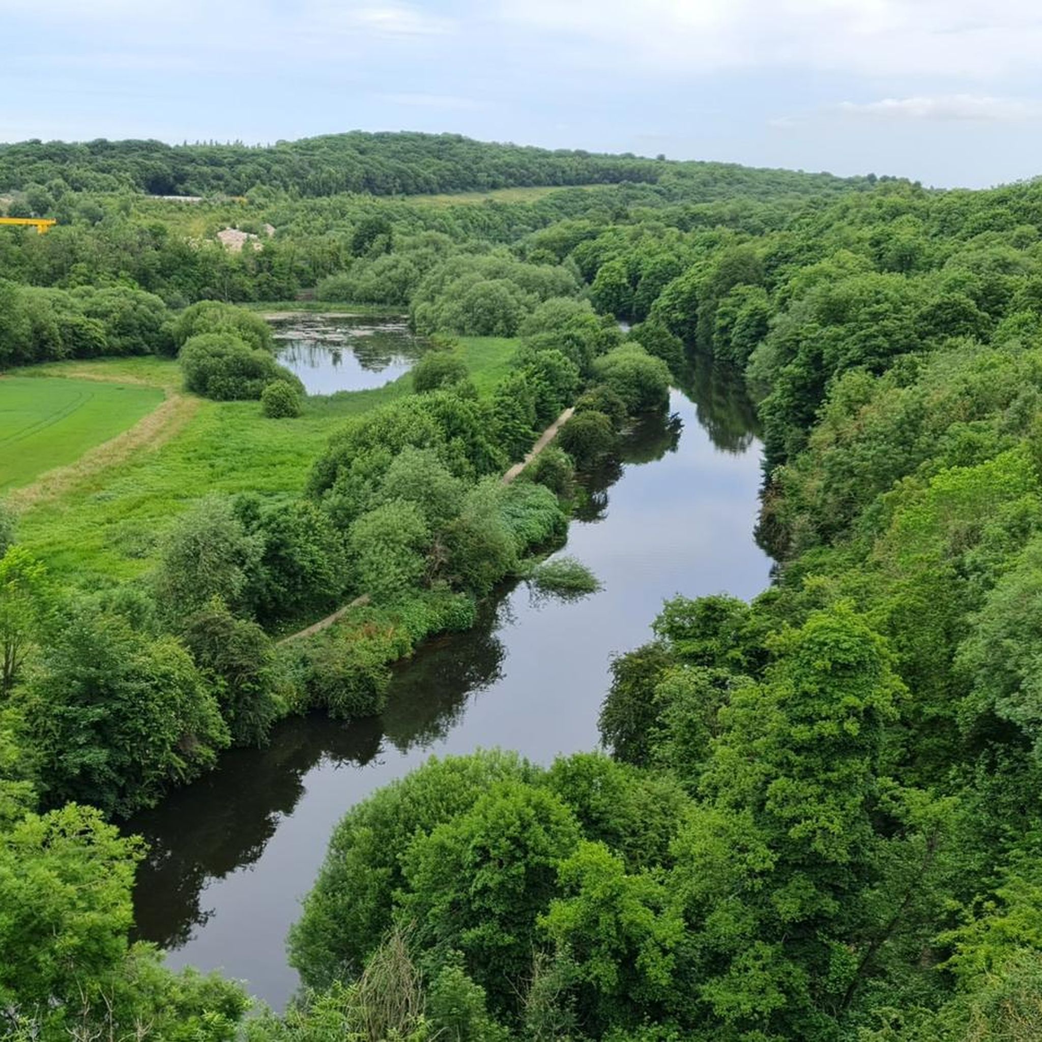
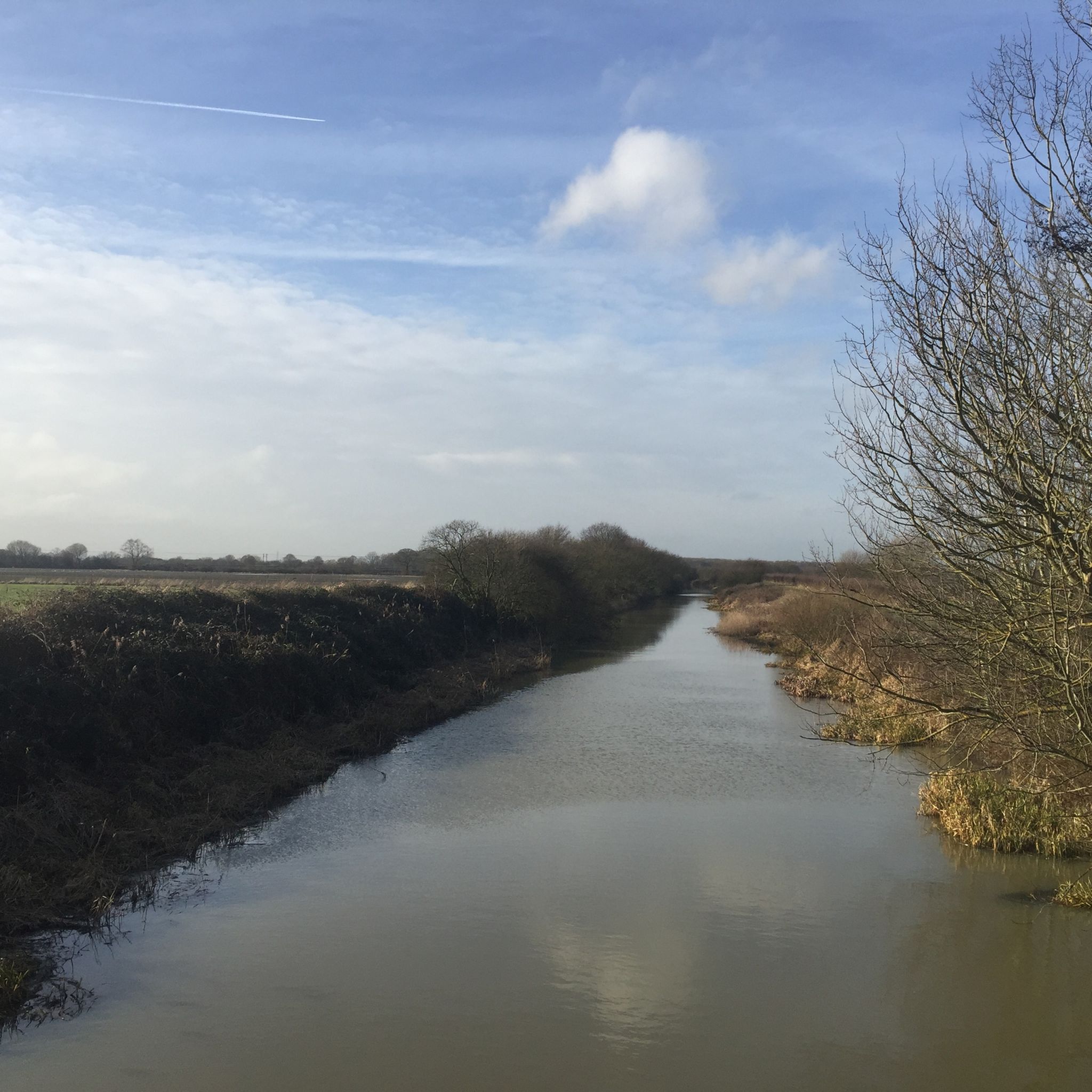
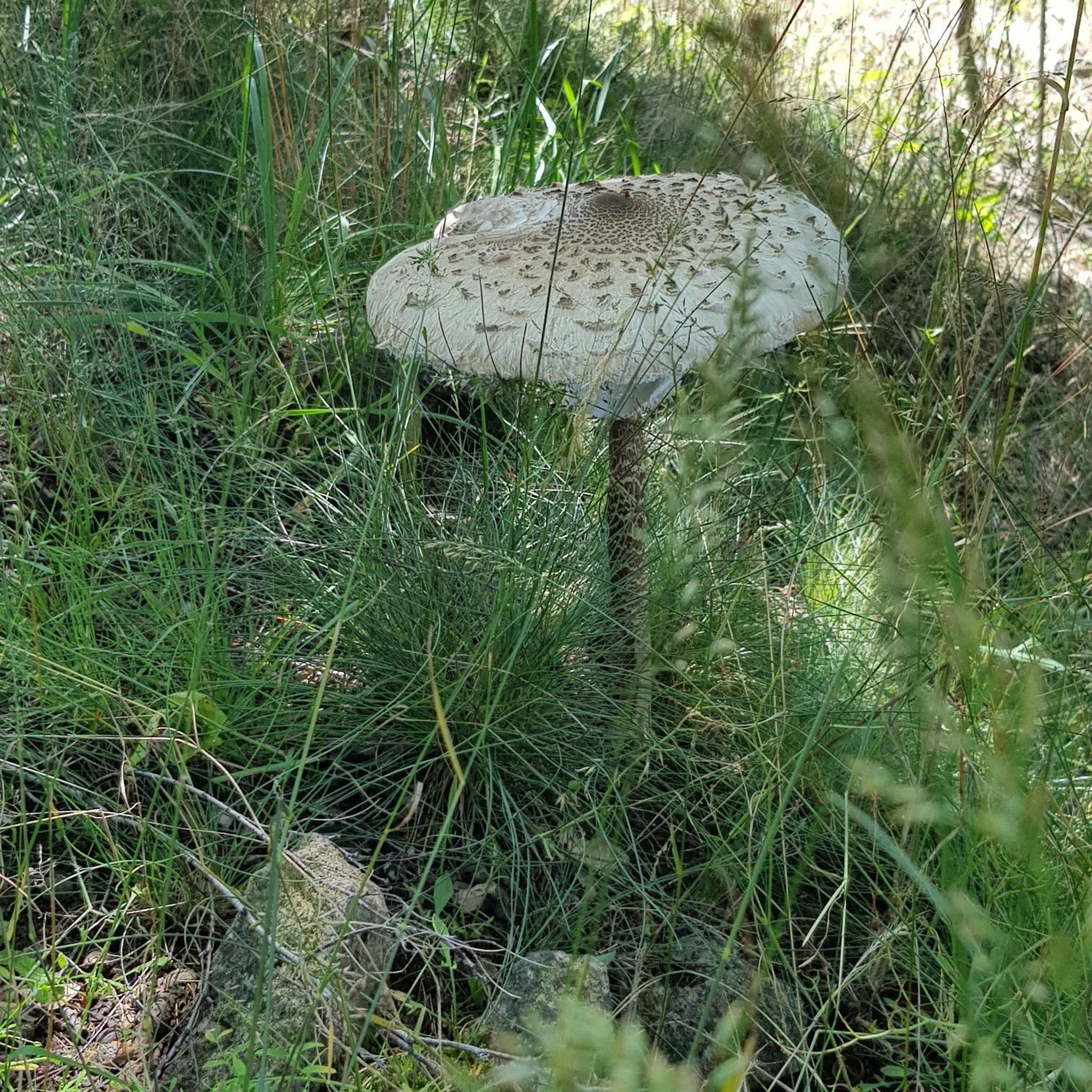

Tips from the Community

Paperhouse Bridge is a listed canal bridge carrying the farm access track at Paper House Farm over the Selby Canal. It is directly referenced in the Historic England listing for the adjacent Paperhouse Tunnel, which “butts up against the northern elevations of the listed Grade II Paper House Bridge”
0
0
Lund Tunnel is a canal culvert completed by 1778, designed by the engineer William Jessop for the Aire & Calder Navigation Company. It was part of a set of four (originally five) flood‑relief tunnels built to stop the Selby Canal from being overwhelmed by water from the surrounding low‑lying farmland.
0
0
Burton Hall Bridge. Walking from Selby to this point is a very pleasant walk, just over 2.5 miles each way.
3
0
Brayton Barff is riddled with wide tracks and overgrown paths, and feels much larger than it looks on the map. A nice place to include on your walk and the only place in miles that has a tiny bit of elevation to it, in an otherwise flat landscape.
2
0

Great views east towards Selby from Brayton Barff. This is a small hill in an otherwise flat landscape, the woodland is managed by the Woodland Trust and covers an underground reservoir owned by Yorkshire Water. You can see Selby Abbey in the town.
1
0

The plant's roots swell up to form bulbs or tubers, which are reputedly delicious and can be eaten as a starchy vegetable. Lesser celandine has been used as a potherb in central Europe and the young parts of the plant have been added to salads. All parts of this plant need to be cooked.
1
0
Wood sorrel contains oxalic acid, which gives it the sharp flavour. This is perfectly safe when eaten in small quantities and is present in many of our commonly eaten vegetables, but wood sorrel should not be eaten in large amounts.
1
0
Frequently Asked Questions
Are there many circular walks starting and ending in West Haddlesey?
Yes, the area is well-suited for circular hikes. A great example is the Burn Bridge on Selby Canal – View of Burton Hall Bridge loop from West Haddlesey. This moderate 5.8-mile (9.3 km) route offers a pleasant walk through the countryside along the canal, typically taking around 2 hours and 20 minutes.
What are the trails like for dog walking near West Haddlesey?
The flat towpaths and open fields are generally great for walking with dogs. For a dedicated outing, locals often visit Barlow Common Nature Reserve, which offers a lovely walk with varied paths. Another excellent option is the Bubwith Old Railway Path, a disused railway line providing a long, flat, and peaceful route perfect for a stroll with a dog.
Can you suggest an easy, family-friendly hike in the area?
Certainly. The View of Burton Hall Bridge – Stone Bridge Over Canal loop from Burn is an excellent choice for families. It's a gentle 4.2-mile (6.7 km) walk along the Selby Canal that's mostly flat and takes about 1 hour and 40 minutes, making it manageable for most abilities.
Where can I find a good walk along a river or canal?
The region is defined by its waterways. The Selby Canal towpath, part of the Trans Pennine Trail, provides a very scenic and flat walking experience. You can also explore paths along the River Aire, such as the circular walk around Brotherton Marshes, which takes you through open fields alongside the river.
What is the terrain typically like on hikes around West Haddlesey?
The terrain is predominantly flat, characterized by canal towpaths, riverside trails, and footpaths across open agricultural fields. While most routes are easy, some longer trails like the View of Burton Hall Bridge – Woodland Clearing loop from Hambleton include sections through small woodlands and can be muddy after rain, adding a bit of variety.
Are there any nature reserves nearby for wildlife spotting?
Yes, the area has several noteworthy nature reserves. Fairburn Ings RSPB Nature Reserve is a paradise for birdwatchers, with a remarkable number of recorded species. For a quieter experience, the highly-regarded Brockadale Nature Reserve offers varied circular walks through woodland and meadows. Skipwith Common is another local favorite, known for its peaceful, natural heathland environment.
How many hiking trails are available around West Haddlesey?
There is a wide variety of options to explore, with over 140 routes mapped around West Haddlesey. These range from short, easy strolls along the canal to longer, more moderate hikes through the surrounding countryside.
What do other hikers think of the routes in this area?
The trails around West Haddlesey are highly rated by the komoot community, with an average score of 4.3 stars. Hikers often praise the peacefulness of the canal-side paths and the easy, accessible nature of the flat terrain.
Are there any hikes that include local history?
The Selby Canal itself is a piece of history, and walking its towpath offers glimpses into the area's industrial past. For a more focused historical walk, the Bubwith Old Railway Path follows the route of a disused railway line, passing the sites of old stations and providing a serene journey through the landscape's heritage.
Where is a good place to park for a walk?
Parking availability depends on your starting point. For walks beginning in villages like West Haddlesey or Hambleton, on-street parking is often the primary option, so please park considerately. Designated nature reserves like Barlow Common and Brockadale Nature Reserve typically have their own free car parks.
Can you recommend a shorter, moderate hike?
A good option for a moderately challenging but not overly long hike is the Stone Bridge Over Canal – View of Burton Hall Bridge loop from Thorpe Willoughby. It's just over 5 miles (8.3 km) and combines canal paths with field tracks, usually taking about 2 hours to complete.
Most popular attractions around West Haddlesey

Get inspired with the komoot mobile app


Explore more
Browse the best Hikes in other regions.
