The best MTB trails around Camblesforth
3.0
(1)
17
riders
11
rides
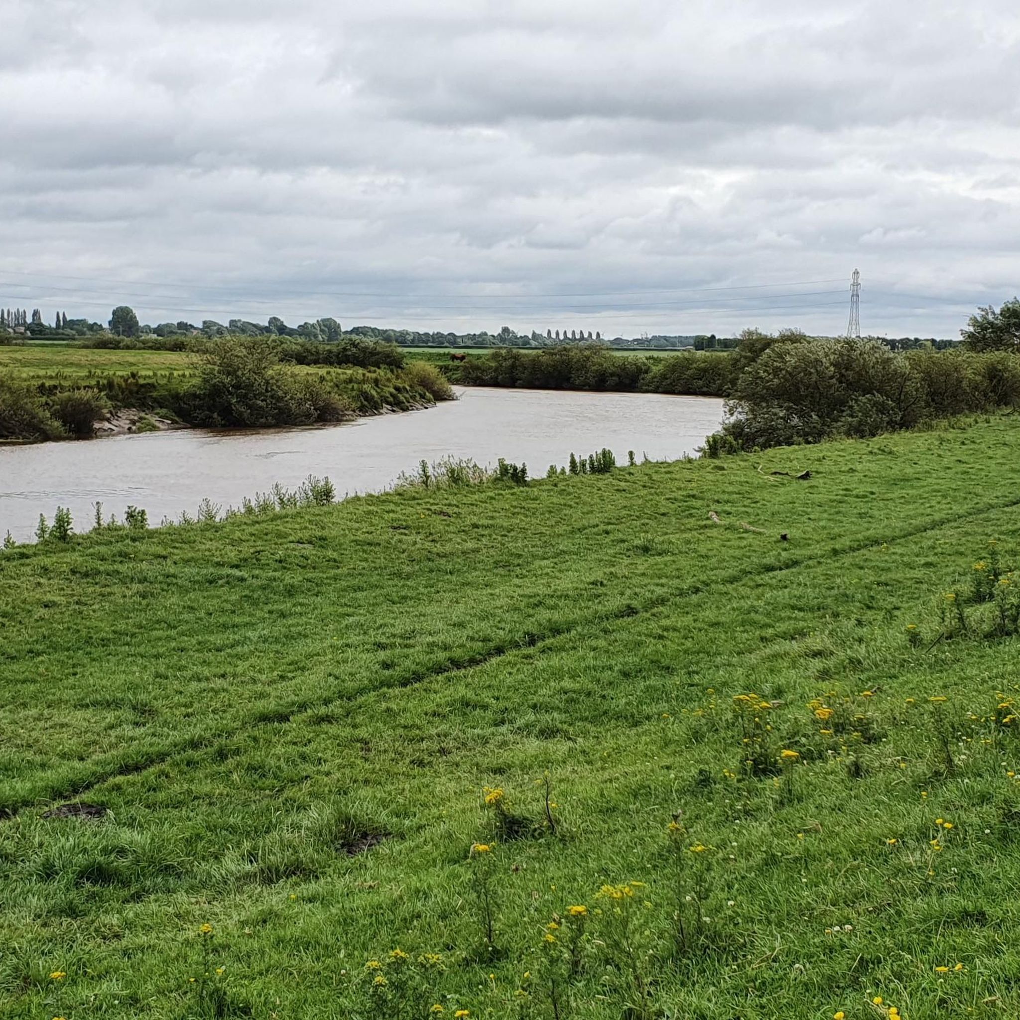
Mountain biking around Camblesforth offers routes through a largely flat landscape, characterized by river paths, open fields, and occasional woodlands. The region's low elevation gain makes it suitable for accessible rides, often following waterways like the River Ouse and local canals. These trails provide an opportunity to explore the rural scenery and connect with nearby villages. The terrain is generally gentle, making it ideal for those seeking less strenuous mountain biking experiences.
Best mountain bike trails around Camblesforth
- The most…
Last updated: June 24, 2026
3
riders
32.3km
01:45
40m
40m
Easy mountain bike ride. Great for any fitness level. Suitable for all skill levels.
5
riders
26.6km
01:20
60m
60m
Easy mountain bike ride. Great for any fitness level. Suitable for all skill levels.

Sign up for free
2
riders
57.0km
02:56
110m
110m
Moderate mountain bike ride. Good fitness required. Suitable for all skill levels.
2
riders
27.7km
01:27
40m
40m
Easy mountain bike ride. Great for any fitness level. Suitable for all skill levels.
3.0
(1)
1
riders
51.6km
02:40
100m
100m
Moderate mountain bike ride. Good fitness required. Suitable for all skill levels.
Get access to more routes and recommendations from other explorers.
Sign up for free
Already have an account?
Our route recommendations are based on thousands of hikes, rides, and runs completed by other people on komoot.
Start today with a free account
Your next adventure awaits.
Login or Signup



Tips from the Community

Spectacular abbey for such a small town. Interesting info board describing the 19th Century cholera epidemic and associated graveyard, much like the one just outside the walls opposite York Station.
1
0

Grade I listed building. The surviving fifteenth-century structures formed part of a fortified medieval palace belonging to the Archbishops of York, which was dismantled in the aftermath of the English Civil War. The only remaining parts of the castle are the gatehouse and the banqueting hall. Stones from the destroyed castle were used in the construction of surrounding houses. The foundations of some other structures do remain as well as the castle's cellar, which was excavated in the 19th century. The gatehouse served as a courthouse until the 1930s, before being used as an officers' mess and a building for the Home Guard during World War II. The first fortifications on this site are believed to be those built by King Athelstan in the 10th Century.
1
0
Grade II listed swing bridge opened in 1872. The deck was submerged when the River Ouse flooded in 2015.
1
0


The River Ouse swing bridge is a road bridge over the River Ouse in North Yorkshire, England. It was opened in 2004 when the A63 road bypassed the town of Selby, which traffic previously had to go through to cross the river. It is one of several bridges over the River Ouse between York and the mouth of the Ouse, where it joins the River Trent. https://en.m.wikipedia.org/wiki/River_Ouse_swing_bridge
2
0
Selby swing bridge (1891), a hogback railway swing bridge built for the NER as a replacement for the 1840 bridge
2
0
Open for all visitors (including sightseeing) from 10.00am to 4.00pm daily and the Gift and Coffee Shop is open from 10.30am to 3.30pm (1.30 to 3.00pm on Sundays). Visiting may be restricted during service times. https://www.selbyabbey.org.uk/
2
1
Frequently Asked Questions
What is the general difficulty level of mountain bike trails around Camblesforth?
The mountain bike trails around Camblesforth are generally considered easy to moderate. The region's flat landscape, characterized by river paths and open fields, means there's low elevation gain. Out of 11 available routes, 7 are rated easy and 4 are moderate, making it suitable for less strenuous mountain biking experiences.
Are there family-friendly mountain bike trails suitable for all ages around Camblesforth?
Yes, many of the trails around Camblesforth are well-suited for families due to their generally easy difficulty and flat terrain. Routes like Cawood Bridge – Cawood Castle Gatehouse loop from Selby offer accessible rides along riverbanks, providing a pleasant experience for various ages and skill levels.
What is the typical length of mountain bike trails in the Camblesforth area?
The mountain bike trails in Camblesforth vary in length. For example, the Cross Keys Pub – Birkin Tea Room loop from Hambleton is about 16.5 miles (26.6 km), while the Carlton Towers – St Laurence Church, Snaith loop from Whitley Bridge extends to 35.5 miles (57.2 km). You'll find options ranging from shorter, easy rides to longer, moderate excursions.
When is the best time of year to go mountain biking in Camblesforth?
Spring and summer are generally the best times for mountain biking in Camblesforth, offering pleasant weather and drier conditions on the trails. The flat nature of the terrain means trails are less prone to extreme conditions, but autumn can also be beautiful with changing foliage. Always check local weather forecasts before heading out.
What are the typical winter conditions for mountain biking in Camblesforth?
During winter, mountain biking in Camblesforth can involve colder temperatures and potentially muddy sections, especially on unpaved river paths and agricultural tracks. While the low elevation means snow is less common than in hillier regions, trails can still be damp. Appropriate gear for wet and cold conditions is recommended.
Are there mountain bike trails that pass by pubs or cafes in Camblesforth?
Yes, some routes are designed to connect with local amenities. The Cross Keys Pub – Birkin Tea Room loop from Hambleton is a great example, as its name suggests, offering a chance to stop at local establishments. The region's trails often link villages, providing opportunities for refreshments.
Which mountain bike trails offer the most scenic views around Camblesforth?
For scenic views, consider routes that follow the River Ouse or local canals, as these often provide open vistas of the waterways and surrounding countryside. The The Fox – Bishop Wood loop from Hambleton offers a pleasant ride through rural landscapes, including woodland sections that add to the scenery.
What can I see along the mountain bike trails around Camblesforth?
The trails often pass by historical landmarks and natural features. For instance, the Cawood Bridge – Cawood Castle Gatehouse loop from Selby explores the banks of the River Ouse and passes by historic sites. You might also encounter highlights like the Selby Canal or the Birkin Tea Room.
Are there any circular mountain bike routes available in Camblesforth?
Yes, many of the mountain bike trails around Camblesforth are designed as loops, allowing you to start and finish in the same location. Examples include the Cawood Bridge – Cawood Castle Gatehouse loop from Selby and the Carlton Towers – St Laurence Church, Snaith loop from Whitley Bridge, providing convenient round trips.
Is parking available near the mountain bike trails in Camblesforth?
While specific parking areas are not detailed for every trailhead, routes often start from villages or accessible points where public parking is typically available. It's advisable to check the starting point of your chosen route for local parking options before your ride.
What do other mountain bikers enjoy the most about mountain biking in Camblesforth?
The area is highly rated by the komoot community, with an average score of 3.0 stars. Reviewers often praise the region's accessible, flat terrain, which is ideal for relaxed rides along river paths and through open agricultural land. The connection to local villages and points of interest is also frequently highlighted.
Most popular attractions around Camblesforth

Get inspired with the komoot mobile app


Explore more
Browse the best MTB trails in other regions.
