The best walks and hikes around Gateforth
4.4
(324)
2,359
hikers
156
hikes
Hikes near Gateforth explore the relatively flat landscapes of North Yorkshire. The region is characterized by quiet country roads, open fields, and paths alongside the Selby Canal. Many routes also pass through local woodlands and nature reserves, offering a mix of pastoral scenery and natural habitats on generally gentle terrain.
Best hiking trails around Gateforth
- The most popular hiking route is Selby Abbey – Selby Canal loop from Thorpe Willoughby, a 7.8 mile (12.5 km) trail that takes about…
Last updated: August 12, 2026
5.0
(5)
59
hikers
3.16km
00:50
30m
30m
Easy hike. Great for any fitness level. Easily-accessible paths. Suitable for all skill levels.
3.5
(4)
13
hikers
11.9km
03:02
30m
30m
Moderate hike. Good fitness required. Easily-accessible paths. Suitable for all skill levels.

Sign up for free
28
hikers
2.04km
00:32
20m
20m
Easy hike. Great for any fitness level. Easily-accessible paths. Suitable for all skill levels.
11
hikers
6.72km
01:42
10m
10m
Easy hike. Great for any fitness level. Easily-accessible paths. Suitable for all skill levels.
12
hikers
Easy hike. Great for any fitness level. Easily-accessible paths. Suitable for all skill levels.
Get access to more routes and recommendations from other explorers.
Sign up for free
Already have an account?
Our route recommendations are based on thousands of hikes, rides, and runs completed by other people on komoot.
Start today with a free account
Your next adventure awaits.
Login or Signup


Tips from the Community

Paperhouse Bridge is a listed canal bridge carrying the farm access track at Paper House Farm over the Selby Canal. It is directly referenced in the Historic England listing for the adjacent Paperhouse Tunnel, which “butts up against the northern elevations of the listed Grade II Paper House Bridge”
0
0
Lund Tunnel is a canal culvert completed by 1778, designed by the engineer William Jessop for the Aire & Calder Navigation Company. It was part of a set of four (originally five) flood‑relief tunnels built to stop the Selby Canal from being overwhelmed by water from the surrounding low‑lying farmland.
0
0
One of four surviving tunnel culverts designed by William Jessop in 1778 to prevent the canal from being damaged or inundated by floodwater.
1
0
Spectacular abbey for such a small town. Interesting info board describing the 19th Century cholera epidemic and associated graveyard, much like the one just outside the walls opposite York Station.
1
0
Nice little park just south of Selby Abbey.
2
0
Parking, seating, an information board, and a pleasant walk along the canal.
2
0
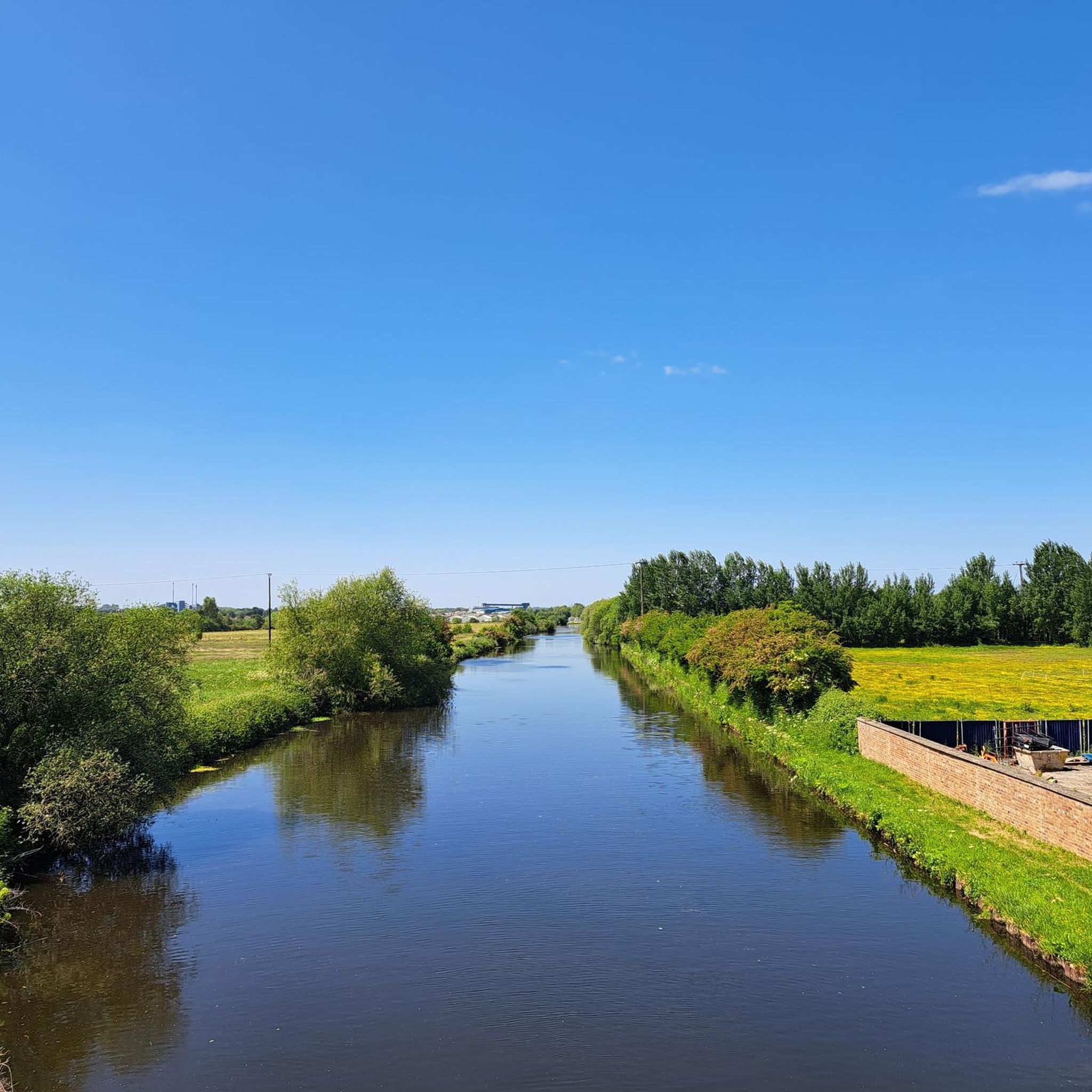
Selby Canal is a very pleasant walk. From Selby to Burton Hall Bridge is around 2.5 miles each way.
2
0
Burton Hall Bridge. Walking from Selby to this point is a very pleasant walk, just over 2.5 miles each way.
3
0
Frequently Asked Questions
Are there any easy, flat walks suitable for beginners or a casual stroll?
Yes, the area around Gateforth is known for its gentle terrain. Many routes are easy, such as the Picnic Table – RAF Burn Airfield loop from Brayton. This 3.4-mile (5.5 km) walk is very flat and follows quiet country paths, making it a great option for a relaxed outing.
Can I take my dog on the trails around Gateforth?
Most trails in the region are suitable for dogs, but it's best to keep them on a lead, especially when crossing fields with livestock or in nature reserves during bird nesting season. Barlow Common Nature Reserve and Skipwith Common are popular spots for dog walkers, offering open spaces and clear paths.
What are some good walks for families with children?
For a family-friendly adventure, consider visiting Brockadale Nature Reserve. It features a whimsical fairy door trail that adds a fun element for kids. Alternatively, the trails at Fairburn Ings RSPB reserve, like the accessible Discovery Trail, are great for families and offer plenty of wildlife to see.
Are there any circular walks available?
The region has numerous circular routes, which are perfect for exploring without having to retrace your steps. A great example is the Burn Bridge on Selby Canal – View of Burton Hall Bridge loop from West Haddlesey. This moderate 5.8-mile (9.3 km) hike offers a pleasant loop along the canal towpaths.
What kind of terrain should I expect on the hikes?
The hiking around Gateforth is predominantly flat. You'll encounter a mix of quiet country roads, open fields, well-surfaced woodland paths, and canal towpaths. While most routes are gentle, some paths within nature reserves like Brockadale can be steeper and narrower.
Are there any woodland trails in the area?
Yes, Brayton Barff is a highlight for woodland walking. It's an ancient woodland with mature oaks and is especially beautiful in spring when the bluebells are in bloom. The well-surfaced paths make it a popular choice for a peaceful walk amongst the trees.
Where can I go to see wildlife near Gateforth?
The area is rich in wildlife. Oakhill Nature Reserve is particularly noted for its dragonflies, butterflies, and birdlife, including the Willow Tit. For birdwatchers, Fairburn Ings RSPB is a key location for spotting rare birds like Bitterns and Spoonbills in its wetland habitats.
How many hiking trails are there to choose from?
There are over 140 hiking routes to explore around Gateforth on komoot. They range from short, easy strolls of just a couple of miles to more moderate hikes of over 7 miles, offering plenty of options for all abilities.
What do other hikers say about the trails in this region?
The komoot community rates the hikes around Gateforth very highly. Reviewers often praise the peaceful canal-side paths, the quiet country lanes, and the beautiful scenery within the local nature reserves. The mix of pastoral landscapes and natural habitats is a frequently mentioned highlight.
Is it possible to reach the trailheads using public transport?
Many trails start in or near villages like Gateforth, Brayton, and Thorpe Willoughby, which may be accessible via local bus services from the larger town of Selby. Selby has a train station with connections to major cities. It is recommended to check local bus timetables in advance to plan your journey.
Where can I find parking for the hikes?
For trails starting in villages, on-street parking may be available, but please park considerately. Dedicated nature reserves such as Brayton Barff, Fairburn Ings RSPB, and Barlow Common Nature Reserve typically have their own car parks for visitors.
Are there any longer hikes for a more challenging day out?
While the region is mostly flat, you can find some longer, more moderate hikes. The Selby Abbey – Selby Canal loop from Thorpe Willoughby is a great option, covering 7.8 miles (12.5 km) and taking you along the scenic Selby Canal with views of the historic abbey.
Most popular attractions around Gateforth

Get inspired with the komoot mobile app


Explore more
Browse the best Hikes in other regions.
