The best mountain hikes around Hagen am Teutoburger Wald
5.0
(1)
5
hikers
2
hikes
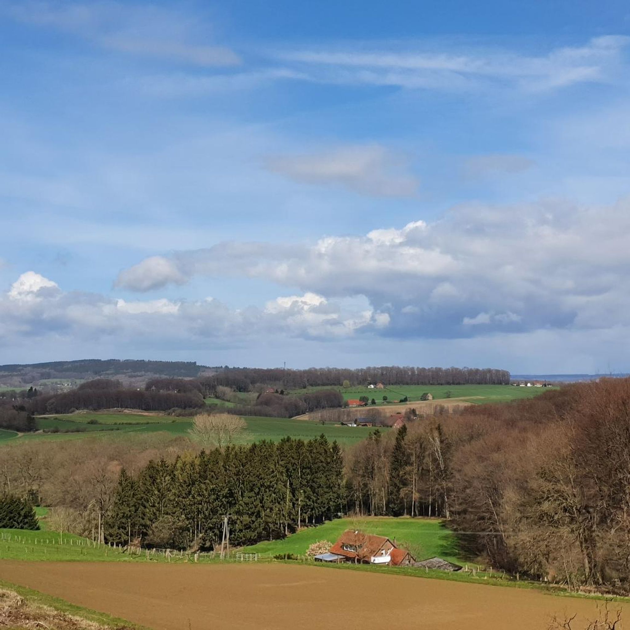
Mountaineering in Teutoburger Wald offers routes through a low mountain range characterized by dense forests, rolling hills, and distinctive rock formations. The region provides opportunities for challenging climbs and scenic trails within a varied landscape. Physical features include the ancient Teutoburg Forest and notable rock formations like the Dörenther Klippen. The terrain is defined by its wooded slopes and valley basins, providing diverse conditions for outdoor activities.
Best mountaineering routes around Hagen am Teutoburger Wald
- The most popular mountaineering route is Rolandgrab – Bat Cave loop from Tecklenburg, a 13.3 miles (21.4 km) difficult trail that takes 5 hours 59 minutes to complete, offering challenging climbs through varied forest terrain.
- Another top favourite among local mountaineers is Rolandgrab loop from Tecklenburg, a moderate 6.8 miles (11.0 km) path winding through the scenic woodlands and offering views of the surrounding hills.
- Local mountaineers also love the View of Schaipers Pütt – Hermannsweg at Kahlen Berg loop from NSG Lienener Osning, a 7.7 miles (12.5 km) trail leading through the Teutoburg Forest, often completed in about 3 hours 30 minutes.
- Mountaineering around Hagen am Teutoburger Wald is defined by dense woodlands, rolling hills, and distinctive rock formations, with routes offering options for different ability levels.
- The routes in Hagen am Teutoburger Wald are highly rated by the komoot community with an average score of 5.0 stars from 2 reviews. More than 9 mountaineers have used komoot to explore Hagen am Teutoburger Wald's varied terrain.
Last updated: July 20, 2026
5.0
(1)
4
hikers
21.2km
05:57
400m
400m
Hard mountaineering route. Very good fitness required. Mostly accessible paths. Sure-footedness required.
1
hikers
9.39km
02:43
240m
240m
Moderate mountaineering route. Good fitness required. Easily-accessible paths. Suitable for all skill levels.
Our route recommendations are based on thousands of hikes, rides, and runs completed by other people on komoot.
Start today with a free account
Your next adventure awaits.
Login or Signup
Popular around Hagen am Teutoburger Wald
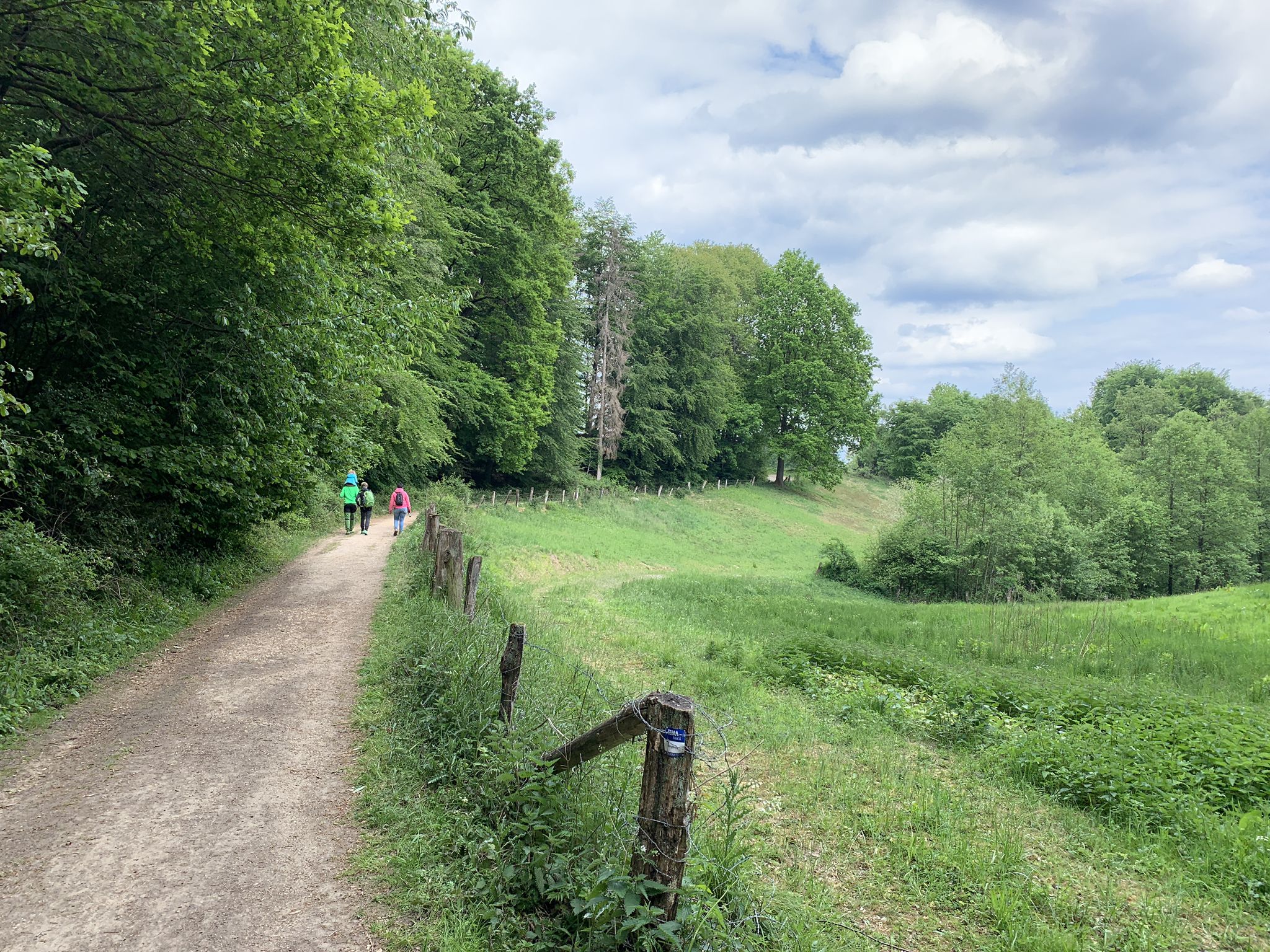
In the wild, old country – wonderful Tours around Germany’s Osnabrück
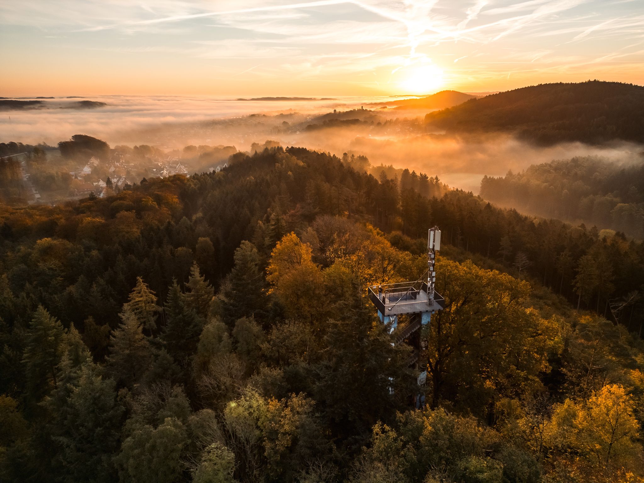
Germany’s Ahornweg – hiking among trees, blossoms and spas
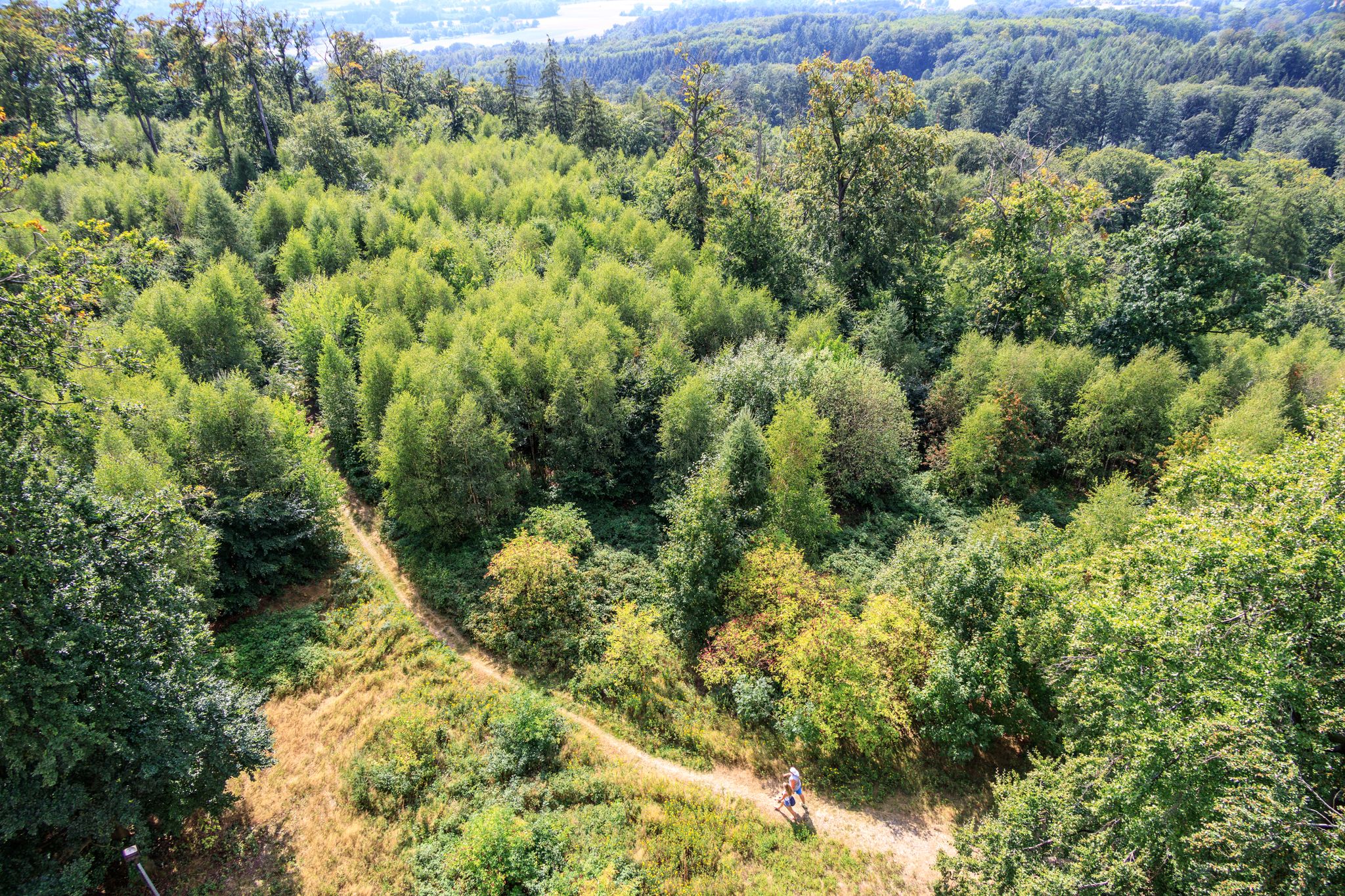
Forest, water, hiking pleasure — Germany’s Osnabrück Land
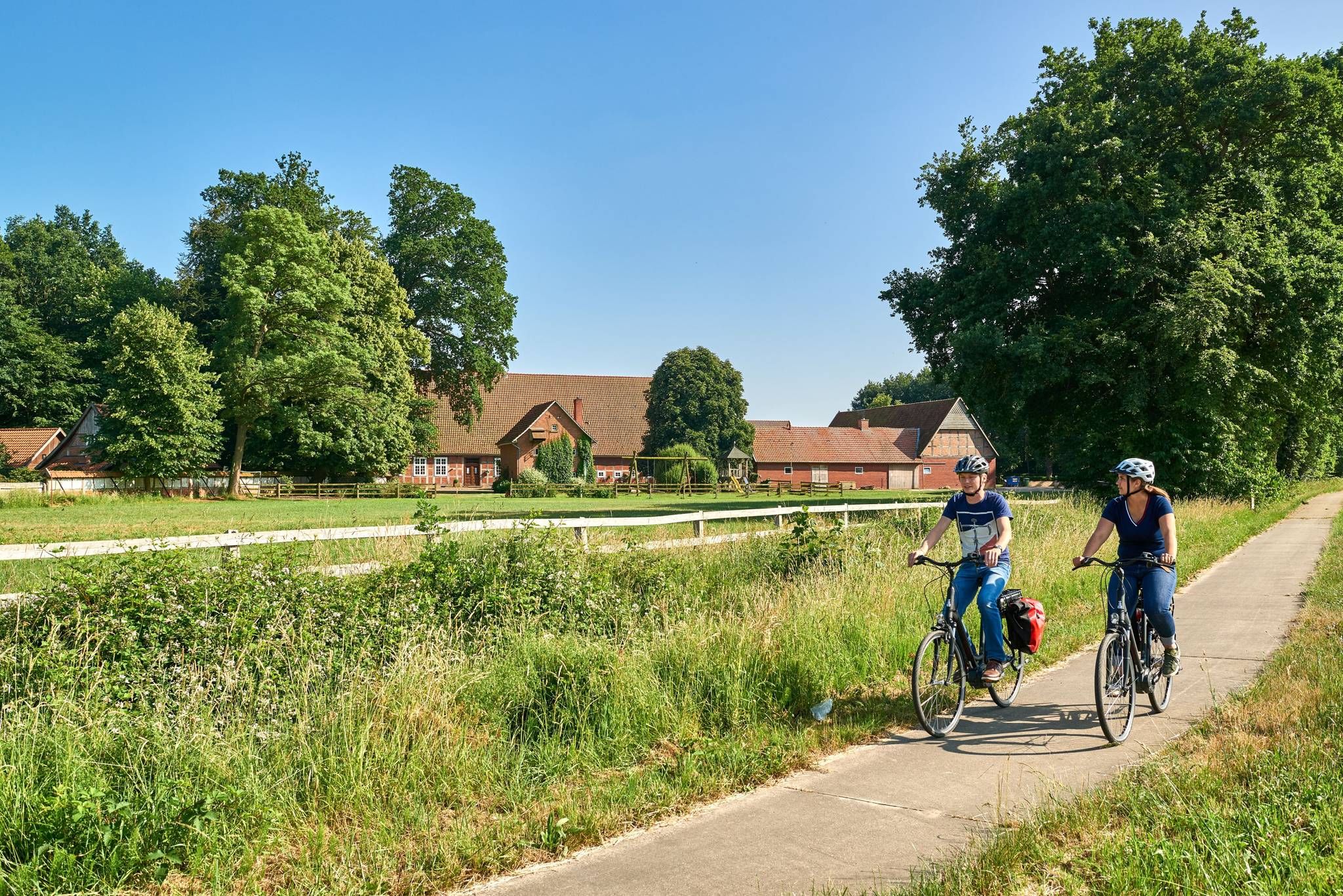
Castles, mills & timber-framed houses – Osnabrück Land
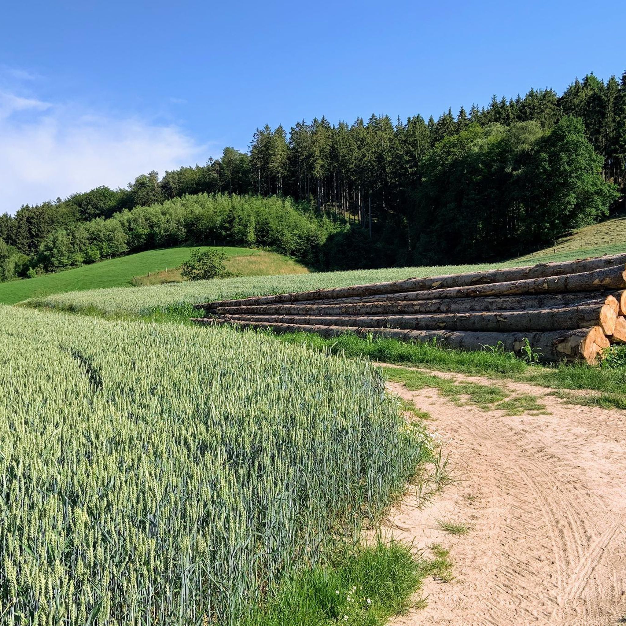
Hiking around Hagen am Teutoburger Wald
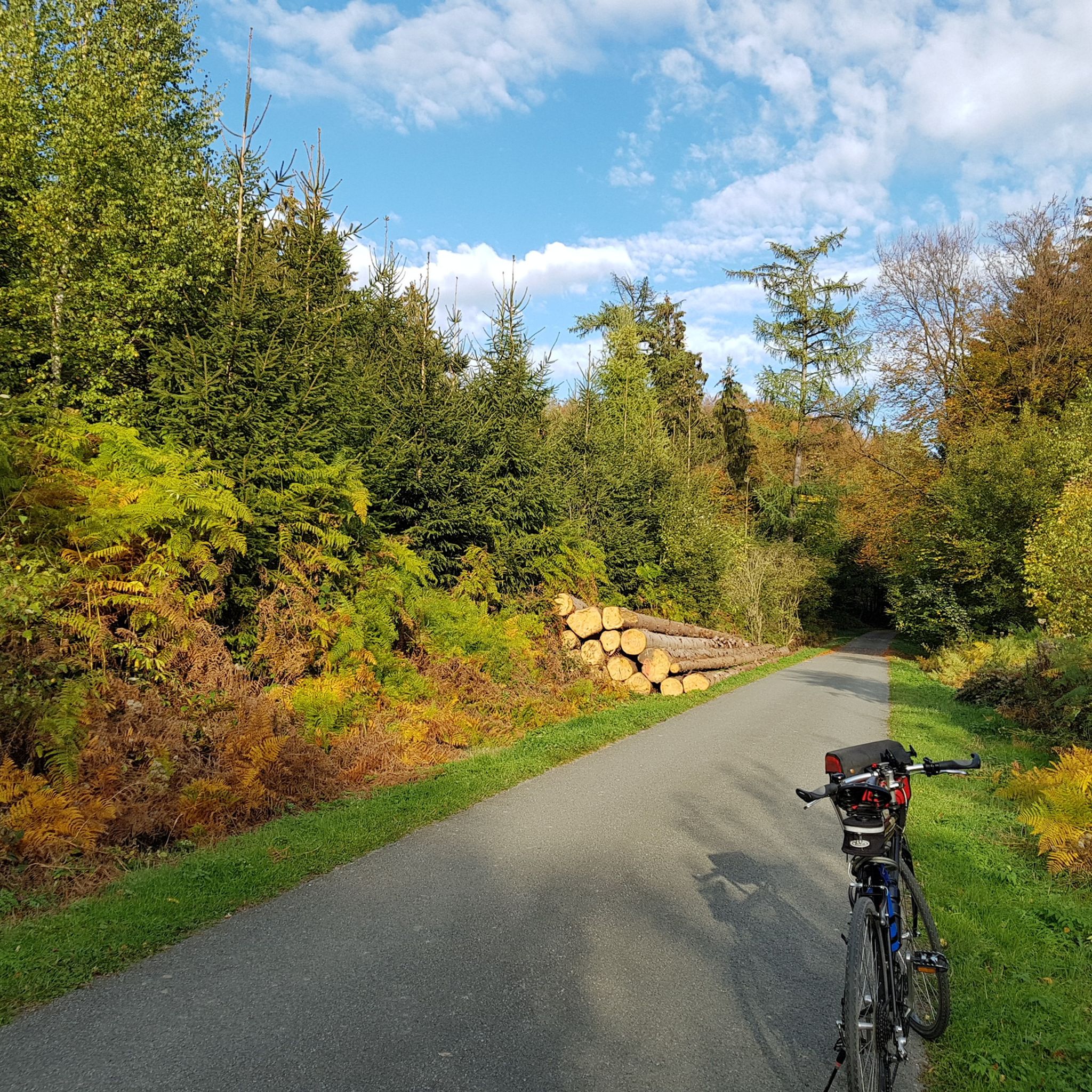
Cycling around Hagen am Teutoburger Wald
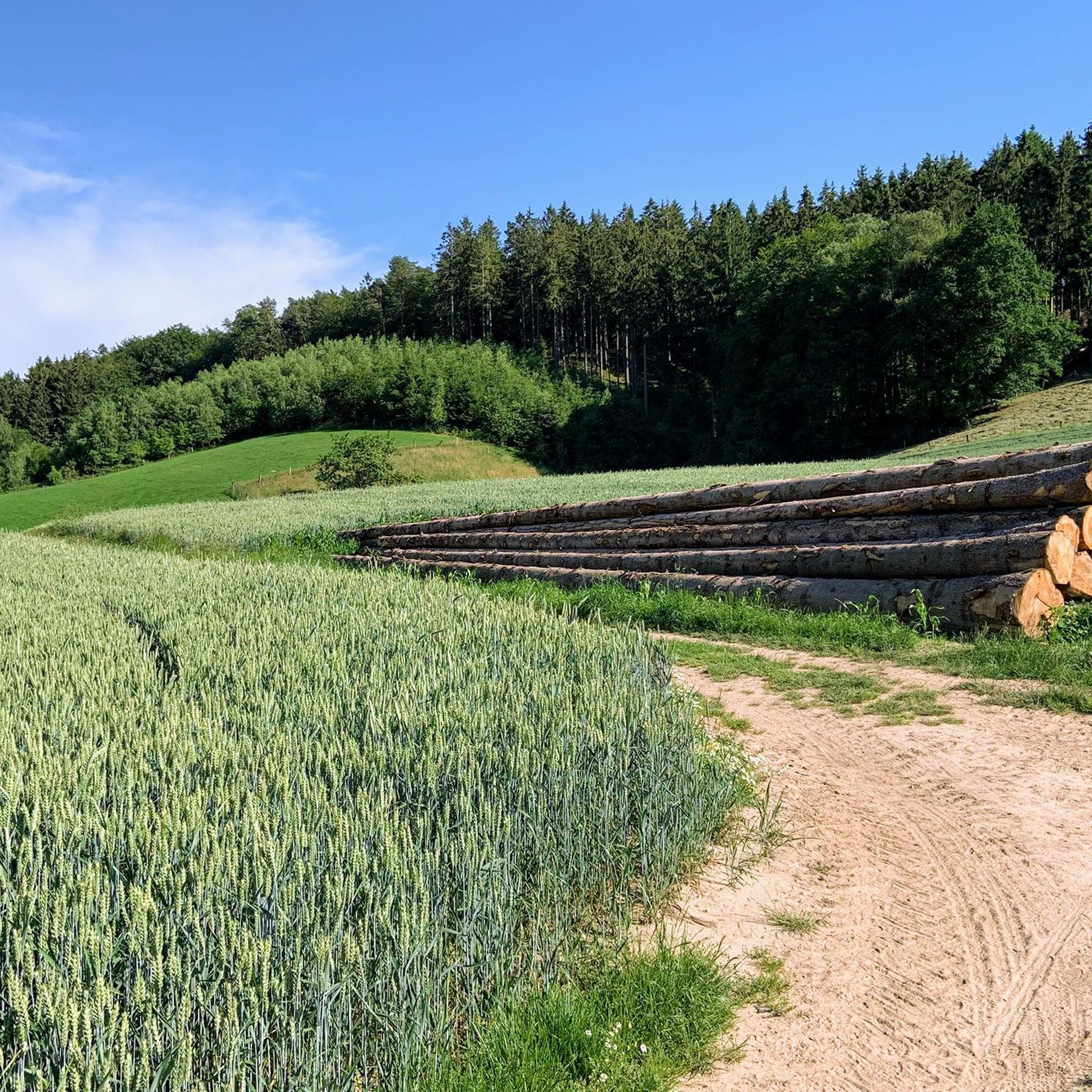
Running Trails around Hagen am Teutoburger Wald
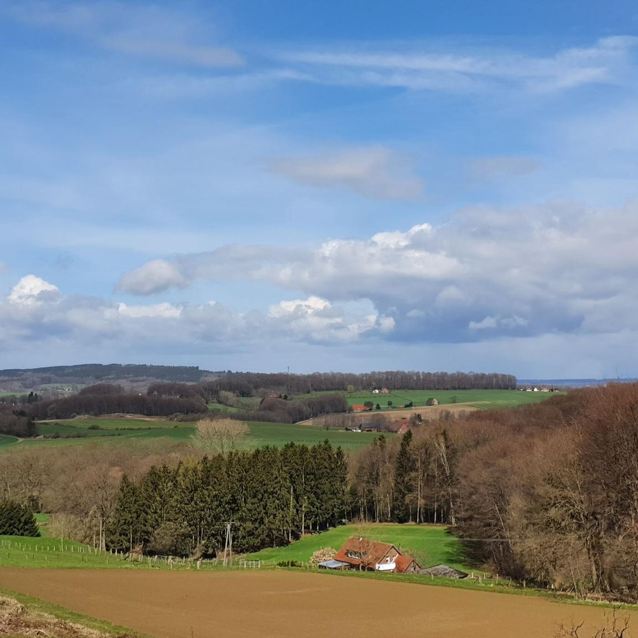
Road Cycling Routes around Hagen am Teutoburger Wald
MTB Trails around Hagen am Teutoburger Wald

Gravel biking around Hagen am Teutoburger Wald
Other adventures around Hagen am Teutoburger Wald


Tips from the Community

👍 with E🚲
0
0

pit stop bench with canopy
0
0

Luckily it hasn't been hit by the vandals yet either!
0
0
Beautiful cabin in the middle of the forest - and heal!
0
0

The parking lot at Bardinghaushof is the ideal introduction to the panoramic landscape of Georgsmarienhütte
0
1
This part should be climbed in summer; in winter, when it is wet, the rocks are very slippery.
0
1
An ideal terrain for initial cautious climbing experiences.
1
0

lovely in the middle of peace. ENJOY CONSCIOUSLY
0
0
Frequently Asked Questions
What kind of terrain can I expect on mountaineering routes around Hagen am Teutoburger Wald?
The region offers a diverse landscape characterized by dense forests, rolling hills, and distinctive rock formations. You'll find routes winding through tranquil woodlands, challenging climbs, and paths leading to scenic viewpoints. The Teutoburg Forest provides a varied backdrop for outdoor activities.
Are there any challenging mountaineering routes for experienced hikers?
Yes, for those seeking a challenge, the Rolandgrab – Bat Cave loop from Tecklenburg is a difficult 21.4 km trail with significant elevation gain, offering challenging climbs through varied forest terrain. The Döreberg also presents a notable climb with an average grade of 6.1%.
What natural landmarks or viewpoints can I discover along the routes?
Mountaineering routes in the area often lead to impressive natural features. You can explore the striking Dörenther Klippen, which offer spectacular views, or the unique Lengerich Canyon (Blue Lagoon) with its turquoise water. The Hüggel area also offers gnarled, moss-covered trees and jagged rocks, evoking a mystical landscape.
Are there any family-friendly mountaineering options in Hagen am Teutoburger Wald?
While the listed mountaineering routes are generally moderate to difficult, the broader Teutoburg Forest offers numerous shorter hiking trails suitable for families. The region's TERRA.tracks, such as those around Borgberg or Butterberg, are typically shorter and less strenuous, providing a good introduction to the area's natural beauty.
Can I bring my dog on the mountaineering trails?
Many trails in the Teutoburg Forest are dog-friendly, but it's always advisable to keep your dog on a leash, especially in nature reserves or areas with wildlife. Be mindful of other hikers and local regulations. Ensure your dog is fit enough for the chosen route, as some paths can be challenging.
Are there any circular mountaineering routes available?
Yes, several routes are designed as loops. For example, the Rolandgrab loop from Tecklenburg is a moderate 11.0 km circular path. Another option is the Varus Tower – Achter de Welt Shelter loop from Wittekind, a moderate 9.3 km route.
What is the best time of year for mountaineering in this region?
The region is beautiful year-round. Spring offers vibrant cherry blossoms and fresh greenery, while autumn provides stunning foliage. Summer is ideal for longer days and warmer weather, though some paths can be busy. Winter mountaineering is possible, but trails may be slippery or covered in snow, requiring appropriate gear and caution.
How many mountaineering routes are available around Hagen am Teutoburger Wald?
There are at least four distinct mountaineering routes detailed for the Hagen am Teutoburger Wald area, ranging from moderate to difficult, offering various distances and elevation profiles for exploration.
What do other mountaineers appreciate most about the routes here?
The komoot community highly rates the mountaineering experience in Hagen am Teutoburger Wald, with an average score of 5.0 stars. Reviewers often praise the varied terrain, the tranquility of the dense woodlands, and the rewarding views from elevated points like the Dörenther Klippen.
Are there any cafes or places to eat near the mountaineering trails?
Yes, the region has several options. For instance, the Trout Valley is renowned for serving freshly caught trout, offering a unique culinary experience. You'll also find various cafes and pubs in nearby towns like Tecklenburg, perfect for a refreshment after your hike.
What are some longer mountaineering trails in the area?
For those looking for a longer adventure, the Rolandgrab – Bat Cave loop from Tecklenburg is a substantial 21.4 km route. Additionally, the approximately 100 km long Ahornweg traverses the broader Teutoburg Forest, offering an extended hiking experience.
Is public transport available to reach the trailheads?
While specific public transport connections to every trailhead can vary, Hagen am Teutoburger Wald and surrounding towns are generally accessible by regional buses. It's recommended to check local bus schedules for the most up-to-date information on reaching specific starting points for your chosen mountaineering route.
Most popular routes around Hagen am Teutoburger Wald
Most popular attractions around Hagen am Teutoburger Wald

Get inspired with the komoot mobile app


Explore more
Browse the best Mountain Hikes & Routes in other regions.
