The best mountain hikes around Langelsheim
4.2
(35)
99
hikers
18
hikes
Mountaineering routes around Langelsheim traverse the diverse landscapes of the Harz region, characterized by dense forests, granite rock formations, and river valleys. The area offers varied terrain, from challenging ascents to more moderate paths through woodlands. Notable features include prominent rock outcrops like Kästeklippe and Treppenstein, providing scenic viewpoints over the surrounding natural environment.
Best mountaineering routes around Langelsheim
- The most popular mountaineering route is Großer Treppenstein – Kästeklippe loop from Waldhaus, a 6.6 miles (10.6 km) trail that…
Last updated: July 7, 2026
4.8
(11)
31
hikers
10.6km
03:34
390m
390m
Hard mountaineering route. Good fitness required. Sure-footedness, sturdy shoes and alpine experience required.
4.8
(11)
29
hikers
10.6km
03:31
390m
390m
Hard mountaineering route. Good fitness required. Sure-footedness, sturdy shoes and alpine experience required.

Sign up for free
1.0
(1)
1
hikers
14.4km
04:26
470m
470m
Hard mountaineering route. Good fitness required. Sure-footedness, sturdy shoes and alpine experience required.
6
hikers
7.96km
02:16
190m
190m
Moderate mountaineering route. Good fitness required. Easily-accessible paths. Suitable for all skill levels.
5
hikers
Easy mountaineering route. Great for any fitness level. Easily-accessible paths. Suitable for all skill levels.
Get access to more routes and recommendations from other explorers.
Sign up for free
Already have an account?
Our route recommendations are based on thousands of hikes, rides, and runs completed by other people on komoot.
Start today with a free account
Your next adventure awaits.
Login or Signup
Popular around Langelsheim
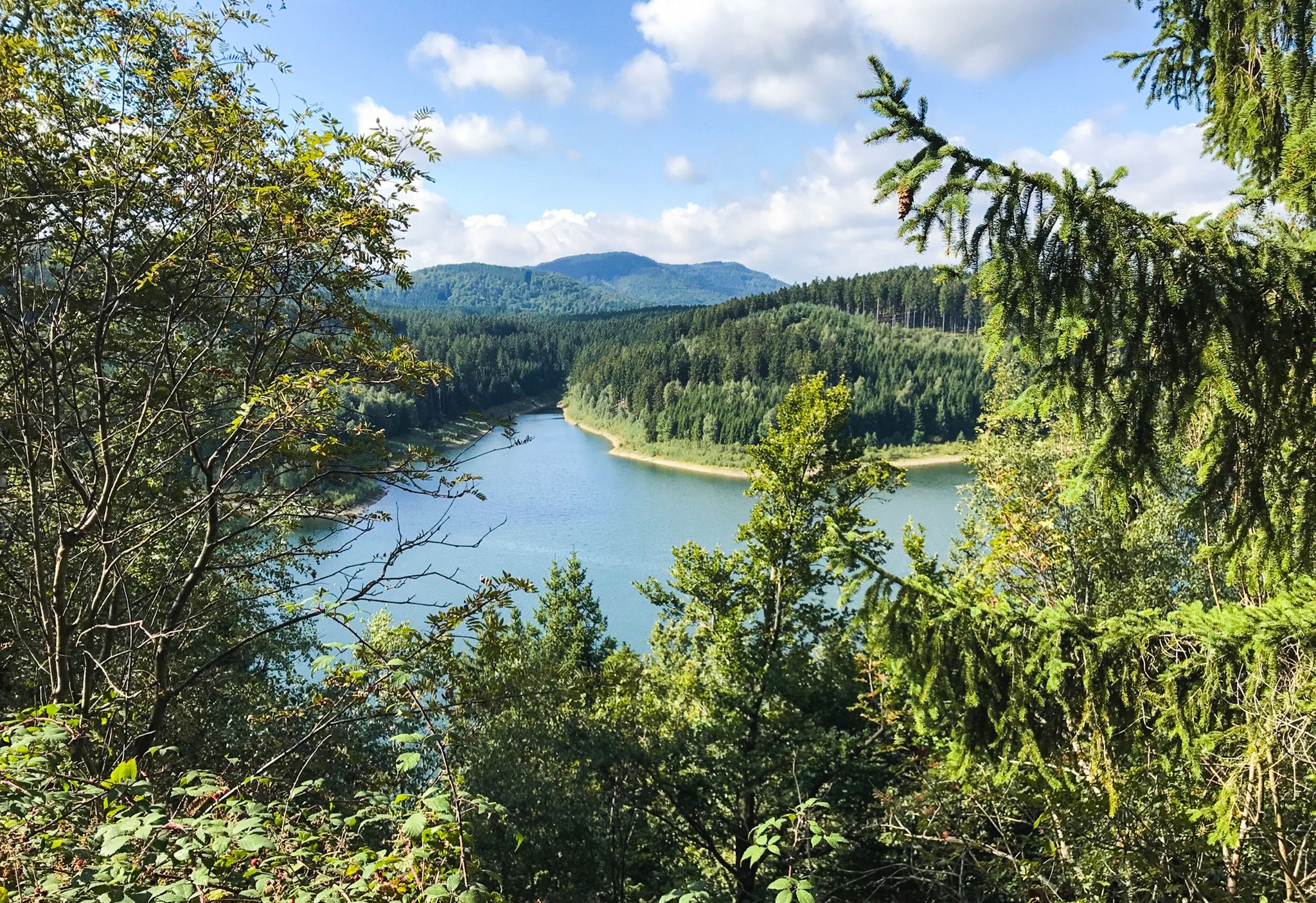
The Harzer Försterstieg trail – in 4 stages through the western Harz

The best swimming lakes in Lower Saxony
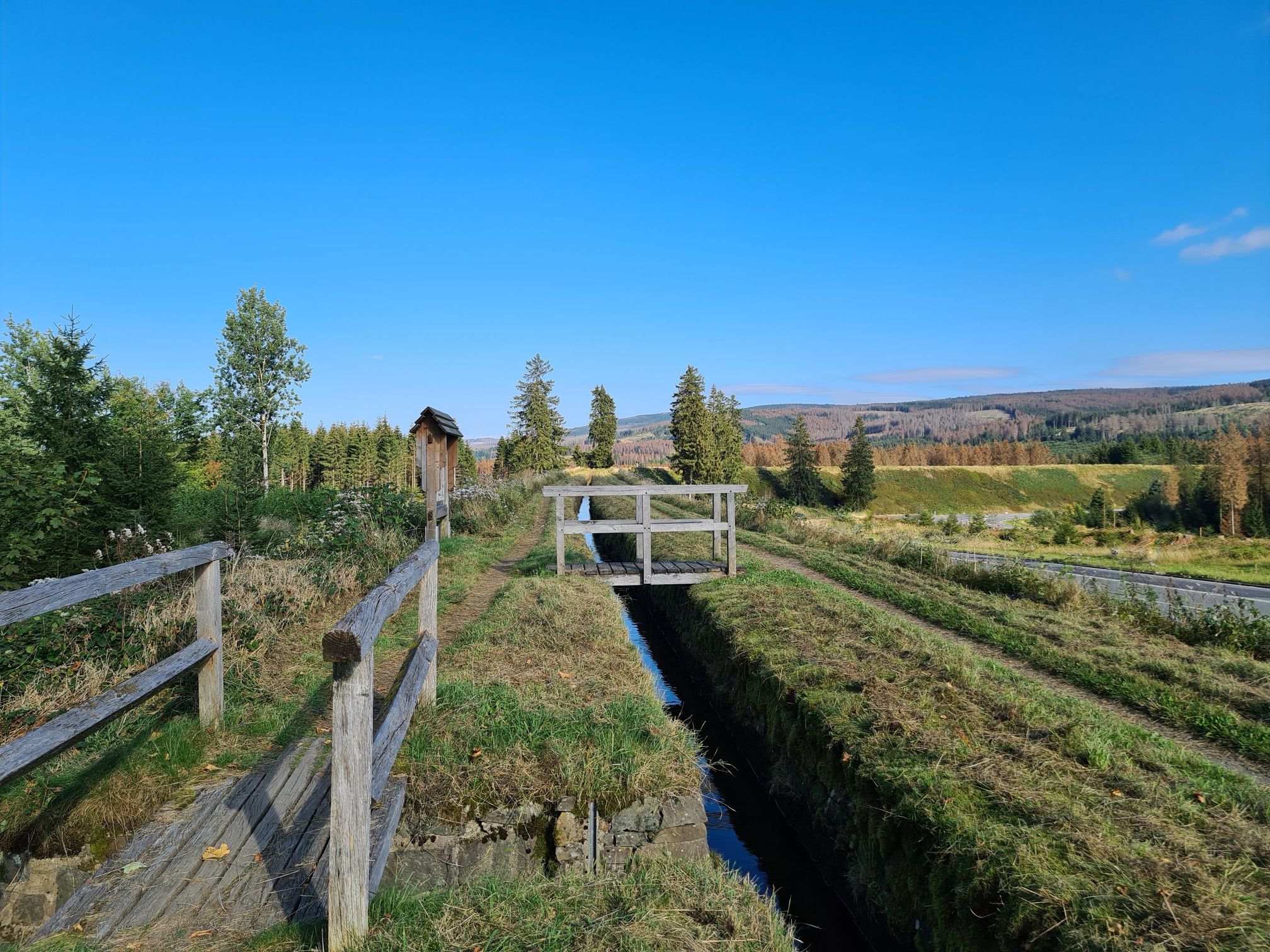
Explore Germany’s mining history — explore the Harz Mountains
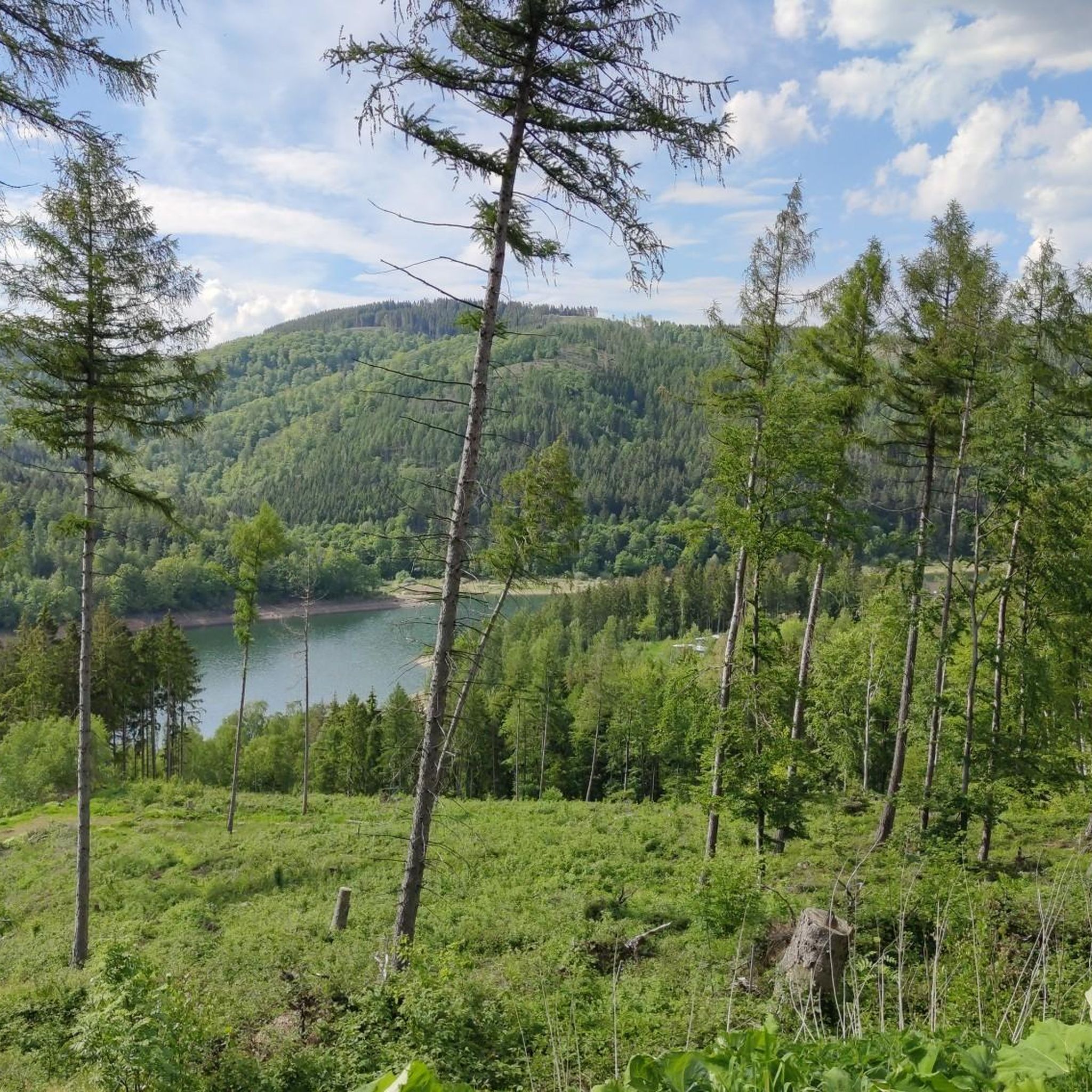
Hiking around Langelsheim
Cycling around Langelsheim
MTB Trails around Langelsheim
Running Trails around Langelsheim
Road Cycling Routes around Langelsheim

Gravel biking around Langelsheim


Tips from the Community


Extremely popular bench. Be careful, there are a lot of hikers here
0
1

The church was built in ten months from 1907 to 1908. Its model was the much older stave churches of Norway. Prof. Karl Mohrmann, consistorial master builder of the Hanoverian regional church, drew inspiration from Nordic churches, but adapted the size and design to the needs of the congregation. Thus, the Hahnenklee Stave Church, with its 240 seats, is larger than its Norwegian counterparts, and the relatively large windows allow plenty of light into the interior. The local craftsmen used spruce wood from the surrounding area as building material, which also made construction more cost-effective than the originally planned neo-Gothic brick structure. Many elements of the architectural style are reminiscent of shipbuilding, even somewhat of Viking ships with their numerous dragons on the roof and in the decorations. The chandelier is modeled after a ship's wheel.
9
0

The famous composer's retirement home was here in Hahnenklee, where not only is he commemorated, but plaques are embedded in the ground commemorating the winners of the Paul Linke Prize. Right next to it is the fountain, beautifully decorated with a rooster.
2
0

The Scandinavian stave church, built in 1908, was modeled on the church in Borgund. Today, the church is known beyond the Harz region and is a magnet for visitors.
8
1

Impressive terrain for running. Lots of small hidden trails to the left and right of the main hiking trail.
0
0

A piece of Norway in the Harz Mountains! The Hahnenklee Stave Church was modeled and built on the world-famous model, the Stave Church in Borgund. A very impressive church: both inside and out! During the visit you can listen to an informative audio tour. However, I would prefer it if you could borrow headphones for a nominal fee instead of having to listen to it all the time. The church can be visited from Monday to Saturday from 10:30 a.m. to 5 p.m. and on Sundays from 12 p.m. to 5 p.m. The service takes place on Sundays at 11 a.m. The church, built in 1908, is (in my opinion) one of the most beautiful wooden churches in Germany. There is another stave church in the Harz Mountains: the Stave Church in Stiege. Another wooden church is not far from Hahnenklee: the Market Church of the Holy Spirit in Clausthal-Zellerfeld.
17
2

Frequently Asked Questions
How many mountaineering routes are available around Langelsheim?
There are over 20 distinct mountaineering routes around Langelsheim, offering a variety of experiences for different skill levels. These routes traverse the diverse landscapes of the Harz region, known for its dense forests, granite rock formations, and river valleys.
Are there any easy mountaineering routes suitable for beginners or families?
Yes, Langelsheim offers several easier routes. For a more relaxed experience, consider the Trench – Lovers' Tree on the Liebesbankweg loop from Landkreis Goslar. This easy 6.9 km path takes just under 2 hours to complete and is a great option for those new to mountaineering or looking for a less strenuous walk.
What are some challenging mountaineering trails near Langelsheim?
For experienced mountaineers seeking a challenge, routes like the Kästeklippe – Hexenküche Rock Formation loop from Oker offer demanding ascents and varied terrain. This difficult 14.4 km trail typically takes around 4 hours 25 minutes to complete, leading through dense forest and prominent rock formations.
What kind of natural attractions can I expect to see along the routes?
The mountaineering routes around Langelsheim are rich in natural beauty. You can discover impressive rock formations like Kästeklippe and Treppenstein, offering scenic viewpoints. The region is also home to beautiful waterfalls such as the Romkerhall Waterfall and the Grumbach Waterfall, as well as picturesque gorges like the Okertal Valley.
Are there any circular mountaineering routes in the area?
Many of the mountaineering routes around Langelsheim are designed as circular loops, allowing you to start and end at the same point. A popular example is the View of Braunlage – Trench loop from Landkreis Goslar, a moderate 7.9 km route that takes about 2 hours 16 minutes.
What is the best time of year for mountaineering in Langelsheim?
The Harz region, including Langelsheim, is generally enjoyable for mountaineering from spring through autumn (April to October). During these months, the weather is typically milder, and the trails are clear. Winter mountaineering is possible but requires appropriate gear and experience due to snow and ice conditions.
Are the mountaineering trails around Langelsheim dog-friendly?
Most trails in the Harz region are dog-friendly, but it's always recommended to keep dogs on a leash, especially in nature reserves or near wildlife. Be mindful of the difficulty and length of the route, as well as your dog's fitness level. Some routes may have sections with steep climbs or rocky terrain.
How long do mountaineering routes near Langelsheim typically take to complete?
The duration of routes varies significantly based on their length and difficulty. Easy routes, like the Trench – Lovers' Tree on the Liebesbankweg loop, can be completed in under 2 hours. More challenging routes, such as the Großer Treppenstein – Kästeklippe loop from Waldhaus, typically require around 3.5 hours or more.
What do other mountaineers enjoy most about the routes in Langelsheim?
The mountaineering routes in Langelsheim are highly rated by the komoot community, with an average score of 4.2 stars from over 30 reviews. Reviewers often praise the diverse terrain, the stunning rock formations like Kästeklippe, and the peaceful atmosphere of the dense Harz forests.
Are there any less crowded mountaineering trails for a more peaceful experience?
While some popular routes can see more visitors, the Harz region offers many trails where you can find solitude. To avoid crowds, consider visiting during off-peak hours (early mornings or late afternoons) or on weekdays. Exploring some of the moderate or less-known loops can also provide a more tranquil experience.
Is there parking available at the trailheads for mountaineering routes?
Many trailheads and popular starting points for mountaineering routes around Langelsheim offer designated parking areas. It's advisable to check the specific route details on komoot for information on parking facilities near your chosen starting point.
Most popular routes around Langelsheim
Most popular attractions around Langelsheim

Get inspired with the komoot mobile app


Explore more
Browse the best Mountain Hikes & Routes in other regions.
