The best road cycling routes around Neerijnen
4.4
(613)
20,479
riders
372
rides
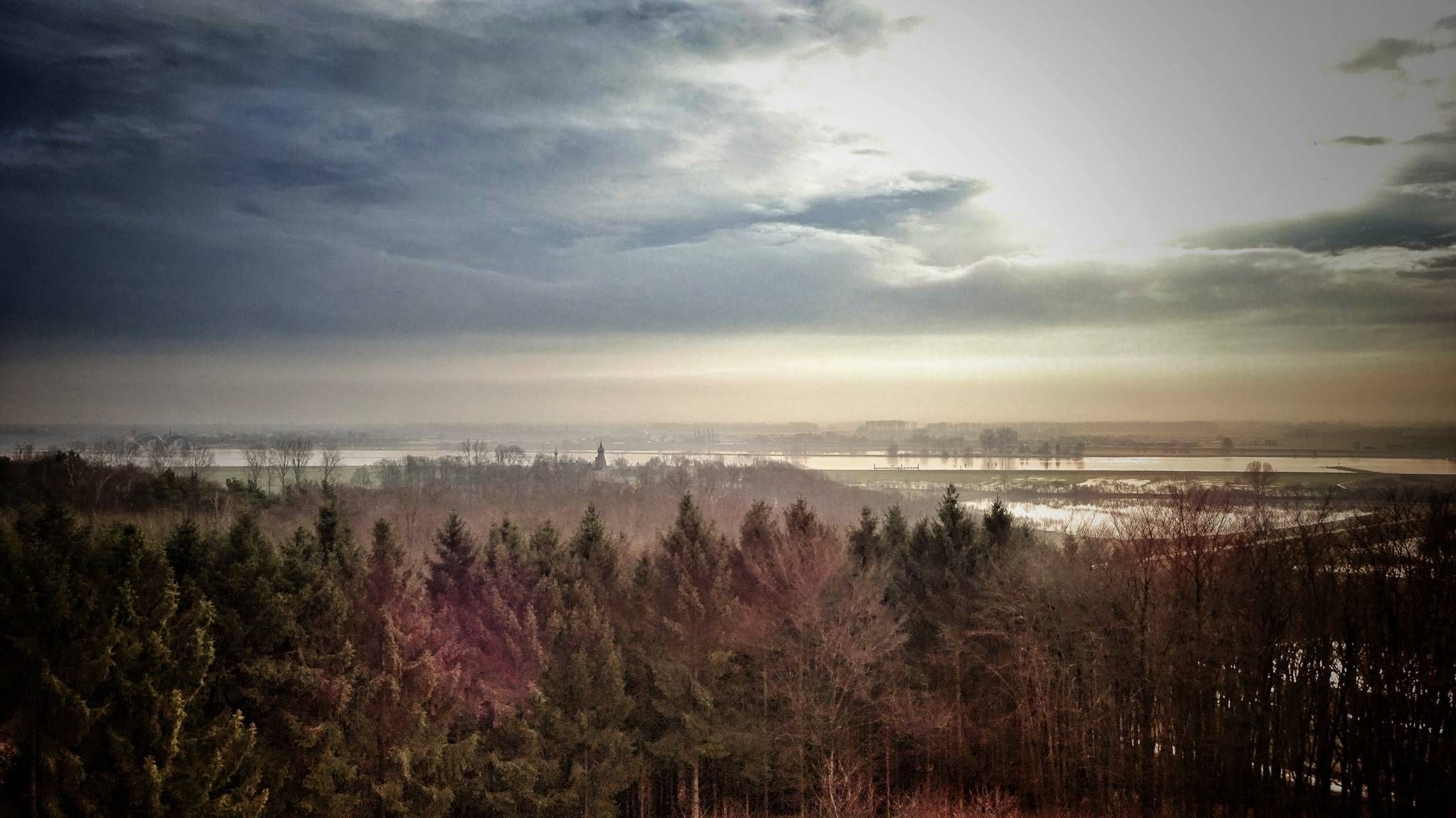
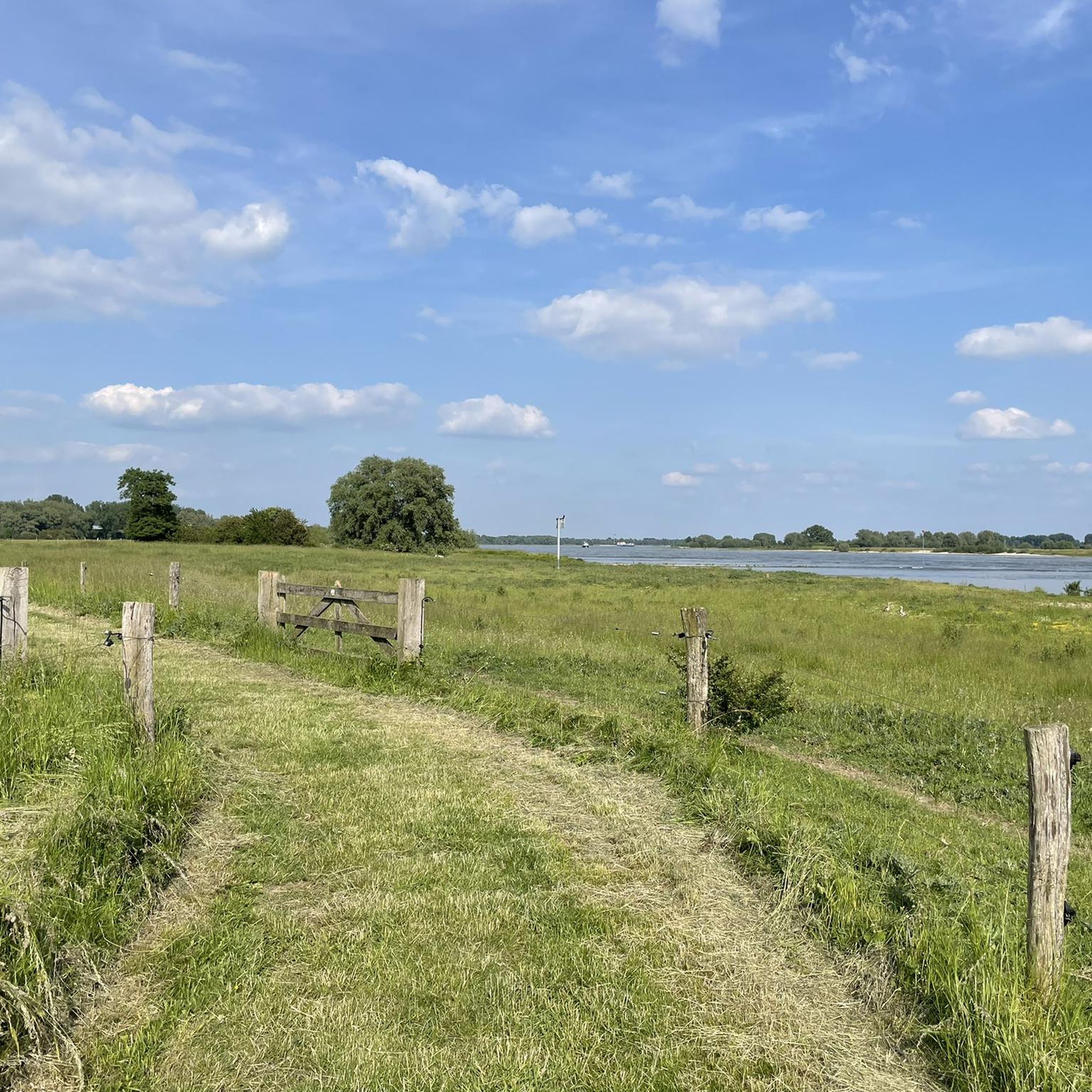
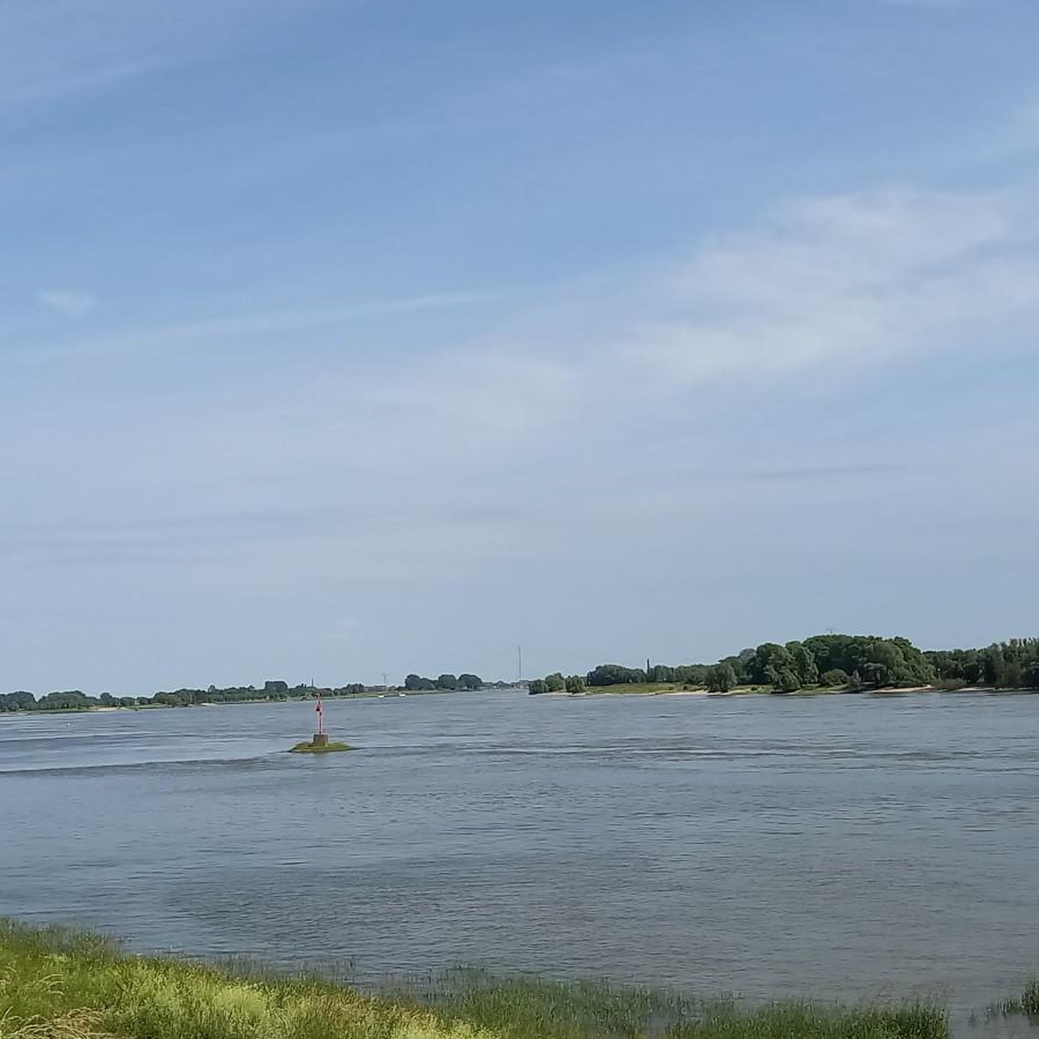
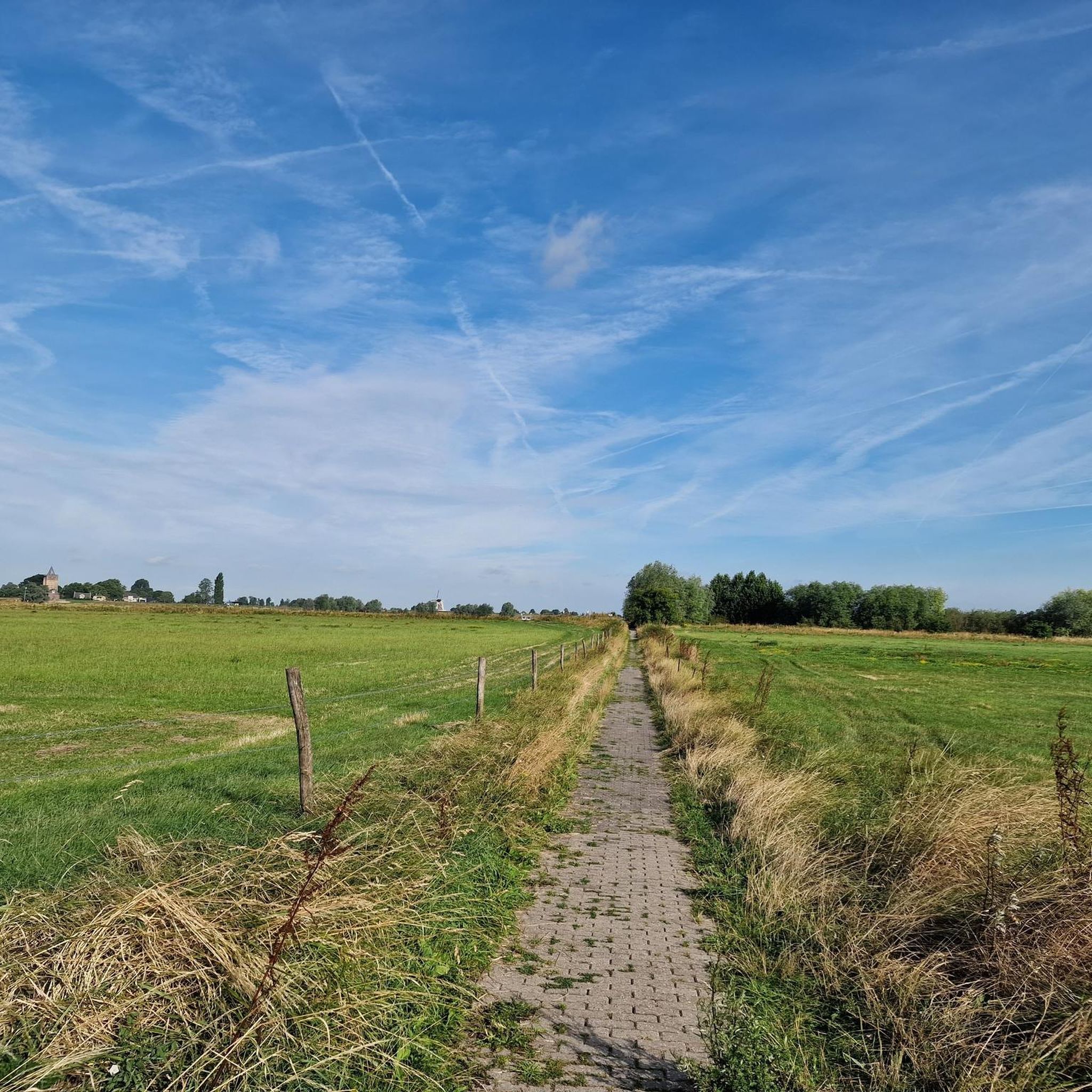
Road cycling around Neerijnen, located in the Gelderland province of the Netherlands, is characterized by its predominantly flat terrain and riverine landscapes. The region features extensive dikes along the Waal and Linge rivers, providing expansive views of wetlands and floodplains. Cyclists encounter minimal elevation changes, making the area accessible for various skill levels. The landscape also includes the orchard-filled Betuwe region and tranquil nature reserves like De Rijswaard.
Best road cycling routes around Neerijnen
- The most popular road cycling route…
Last updated: September 30, 2026
4.7
(29)
721
riders
64.3km
02:42
70m
70m
Moderate road ride. Good fitness required. Mostly well-paved surfaces and easy to ride.
129
riders
Easy road ride. Great for any fitness level. Mostly well-paved surfaces and easy to ride.

4.8
(6)
93
riders
Easy road ride. Great for any fitness level. Mostly well-paved surfaces and easy to ride.
5.0
(1)
42
riders
55.5km
02:17
90m
90m
Moderate road ride. Good fitness required. Some segments of this route may be unpaved and difficult to ride.
21
riders
58.9km
02:29
60m
60m
Moderate road ride. Good fitness required. Mostly well-paved surfaces and easy to ride.
Get access to more routes and recommendations from other explorers.
Already have an account?
Our route recommendations are based on thousands of hikes, rides, and runs completed by other people on komoot.
Start today with a free account
Your next adventure awaits.



Tips from the Community

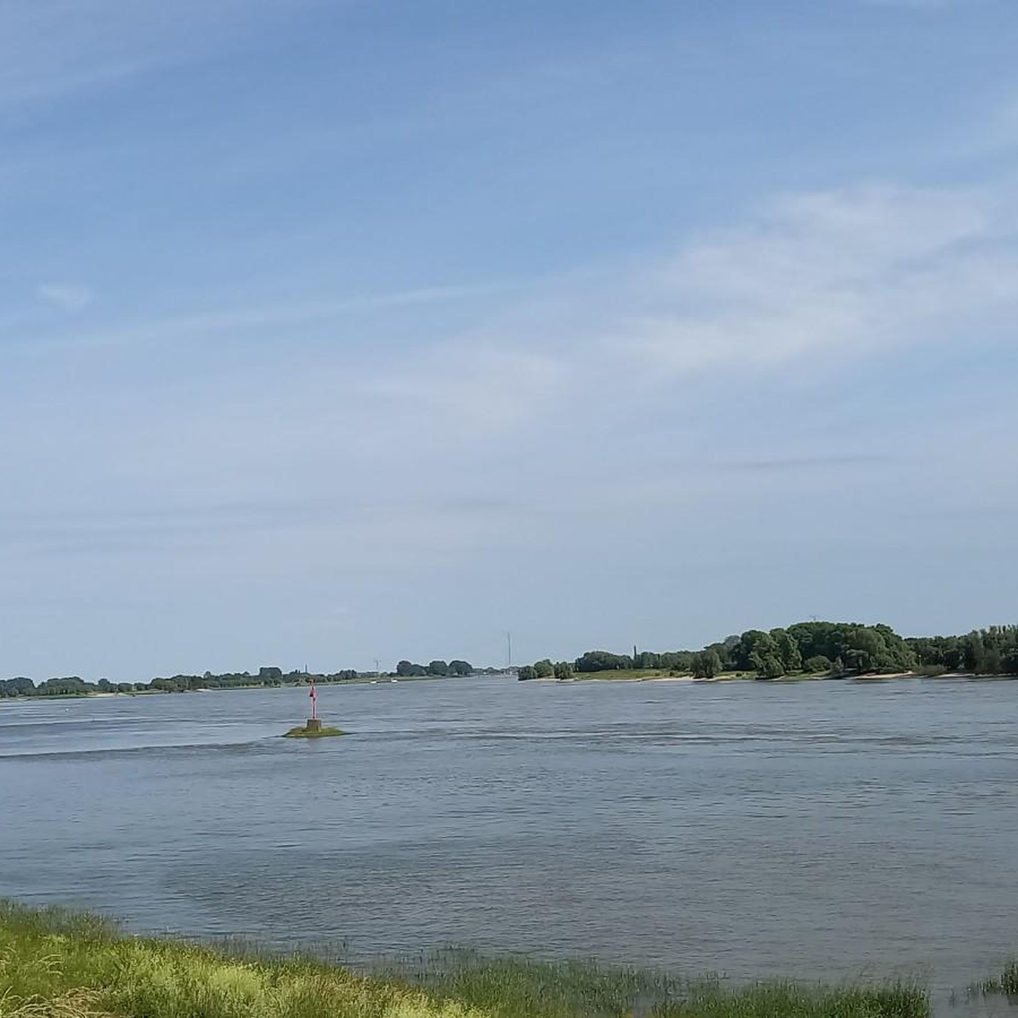
This is not the Maas, but the Waal.
0
0

The water level image in Zaltbommel is a two-part artwork. A large statue, approximately 4 meters high, stands in the floodplains of the Waal. The statue is a young boy in his swimming trunks holding up his left hand to indicate how high the Waal river water is allowed to rise before Zaltbommel gets wet feet. The hand indicates the level of the top of the quay wall (8.87 m NAP). On the quay stands a second statue with only the head and hand. The statue was created by artist Marcel Smink.
1
0
Wonderful what peace is experienced in Zaltbommel with the busy A2 nearby.
1
0

A beautiful old water tower.
1
0
A very beautiful fortified city
1
1
Measure the water level.
1
1

Frequently Asked Questions
What is the typical terrain like for road cycling in Neerijnen?
The Neerijnen region is predominantly flat, characterized by picturesque river dikes along the Waal and Linge, expansive floodplains, and the orchard-filled Betuwe. You'll experience minimal elevation changes, making it accessible for various skill levels, with routes often providing stunning views of the river landscape and nature reserves.
How many road cycling routes are available around Neerijnen?
There are over 380 road cycling routes around Neerijnen, offering a wide range of options for all skill levels. This includes over 170 easy routes, 210 moderate routes, and a few more challenging options.
Are there any easy road cycling routes suitable for beginners in Neerijnen?
Yes, Neerijnen offers many easy routes ideal for beginners. For example, the Waaldijk Observation Tower – Waal Bridge, Zaltbommel loop from Dreumel is an easy 23.1-mile (37.2 km) path that follows the Waal river, perfect for a relaxed ride.
What kind of natural features can I expect to see along the road cycling routes?
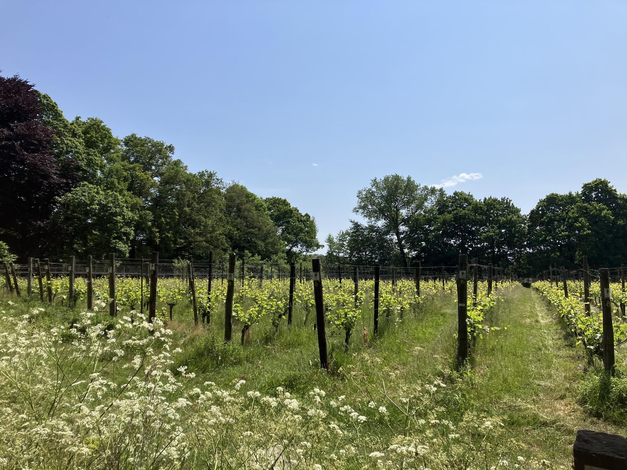
You'll encounter diverse natural features, including the scenic Waal and Linge rivers, extensive wetlands, and floodplains. The region is also known for the orchard-filled Betuwe, especially beautiful during spring blossoms, and tranquil nature reserves like De Rijswaard, which boasts over 300 wild plant species.
Are there any historical landmarks or attractions to see while cycling?
Absolutely. Many routes pass by historic landmarks. You can enjoy views of impressive castles like Kasteel Waardenburg and Kasteel Neerijnen, as well as Molen Waardenburg. The Linge cycle path also features landmarks connected to the Nieuwe Hollandse Waterlinie, including pumping stations and windmills. Consider exploring highlights like Munnikenland and Loevestein Castle or the Flood Monument 1861.
What is the best season for road cycling in Neerijnen?
Spring and summer are particularly popular. Spring offers the beautiful sight of blossoming orchards in the Betuwe region, while summer provides pleasant weather for exploring. Autumn is also lovely, with opportunities to collect fruit and walnuts from trees along the dikes.
Are there any long-distance road cycling routes in the area?
Yes, Neerijnen is well-suited for longer excursions. The Tour of Bommelerwaard is a moderate 40.0-mile (64.3 km) route that navigates the river area, offering extensive views along the dikes. Another option is the Waalbandijk – Martinus Nijhoff Bridge loop from Varik, covering 54.8 km.
Can I find circular road cycling routes around Neerijnen?
Yes, many routes in Neerijnen are designed as loops, allowing you to start and end at the same point. For instance, the Waal Bridge, Zaltbommel – Rossum Castle loop from Zaltbommel is a 12.6-mile (20.3 km) circular trail through the river landscape and past historic castles.
Are there family-friendly road cycling options in Neerijnen?
The predominantly flat terrain and numerous paved, often car-free cycle paths make Neerijnen very family-friendly. Many easy and moderate routes are suitable for families, allowing for a relaxed and safe cycling experience along the rivers and through charming villages.
What do other road cyclists enjoy most about road cycling in Neerijnen?
The area is highly rated by the komoot community, with an average score of 4.5 stars from over 400 reviews. Reviewers often praise the quiet river dikes, the beautiful orchard landscapes, and the accessibility of the flat terrain for all skill levels. The well-developed network of routes and scenic views are frequently highlighted.
Are there opportunities for cafe stops or refreshments along the routes?
Yes, cycling through the region allows exploration of charming villages that often provide opportunities for refreshing breaks at local cafes or restaurants. Many routes are designed to pass through these picturesque spots, making it easy to find a place to refuel.
What are some of the more challenging road cycling routes in Neerijnen?
While the region is largely flat, some routes offer longer distances and slightly more varied terrain for those seeking a challenge. The Rossum Castle – Along the Linge Near Tricht loop from Rossum is a moderate 59.3 km route that provides a good workout while exploring the Linge area.
Most popular attractions around Neerijnen

Get inspired with the komoot mobile app


Explore more
Browse the best Road cycling routes in other regions.
