The best running trails in Wittmund
4.5
(839)
9,819
runners
457
runs
Jogging routes in Wittmund offer a diverse landscape, characterized by its proximity to the North Sea and the Wadden Sea. The region features coastal paths, river routes along the Harle, and varied terrain suitable for different fitness levels. Many running trails incorporate picturesque harbors and green spaces, providing a mix of natural and cultural backdrops.
Best jogging routes in Wittmund
- The most popular jogging route is Pirolatal Langeoog – Pirolatal Entrance loop from Langeoog Bf, a 5.6 miles (9.0…
Last updated: November 1, 2026
4.8
(31)
507
runners
8.99km
00:57
10m
10m
Moderate run. Good fitness required. Mostly paved surfaces.
4.6
(30)
356
runners
Moderate run. Good fitness required. Mostly paved surfaces.

4.8
(35)
354
runners
6.13km
00:40
10m
10m
Moderate run. Good fitness required. Mostly paved surfaces.
4.7
(32)
268
runners
11.7km
01:19
20m
20m
Moderate run. Good fitness required. Mostly paved surfaces.
4.7
(14)
227
runners
Moderate run. Good fitness required. Mostly paved surfaces.
4.6
(31)
469
runners
10.1km
01:06
30m
30m
Moderate run. Good fitness required. Mostly paved surfaces.
4.6
(16)
172
runners
21.3km
02:14
20m
20m
Hard run. Very good fitness required. Mostly paved surfaces.
4.9
(26)
167
runners
Moderate run. Good fitness required. Mostly paved surfaces.
4.7
(9)
170
runners
4.08km
00:28
10m
10m
Easy run. Mostly paved surfaces.
5.0
(11)
144
runners
7.14km
00:46
10m
10m
Moderate run. Good fitness required. Mostly paved surfaces.
Get access to more routes and recommendations from other explorers.
Already have an account?
Our route recommendations are based on thousands of hikes, rides, and runs completed by other people on komoot.
Start today with a free account
Your next adventure awaits.
Popular around Wittmund
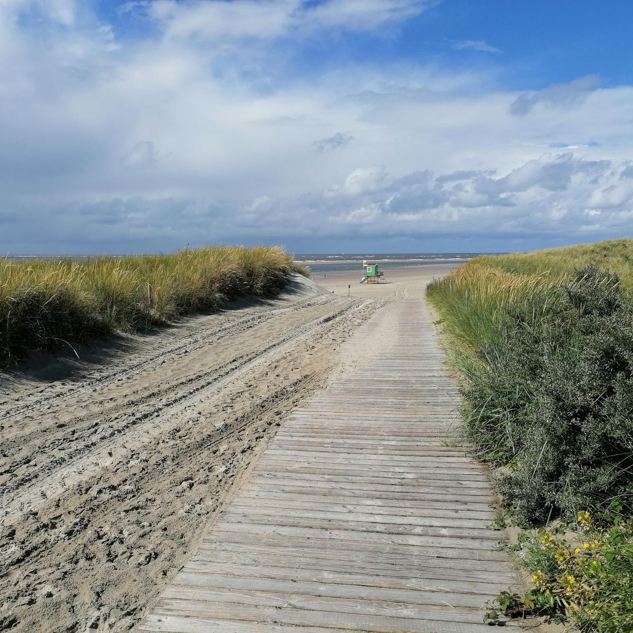
Running Trails around Langeoog

Running Trails around Spiekeroog

Running Trails around Esens
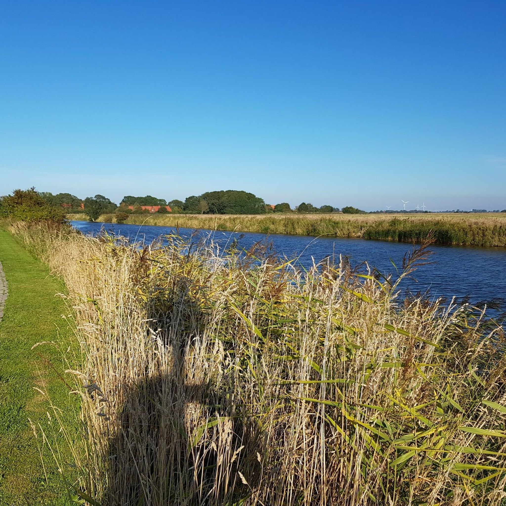
Running Trails around Neuharlingersiel

Running Trails around Stedesdorf

Running Trails around Moorweg
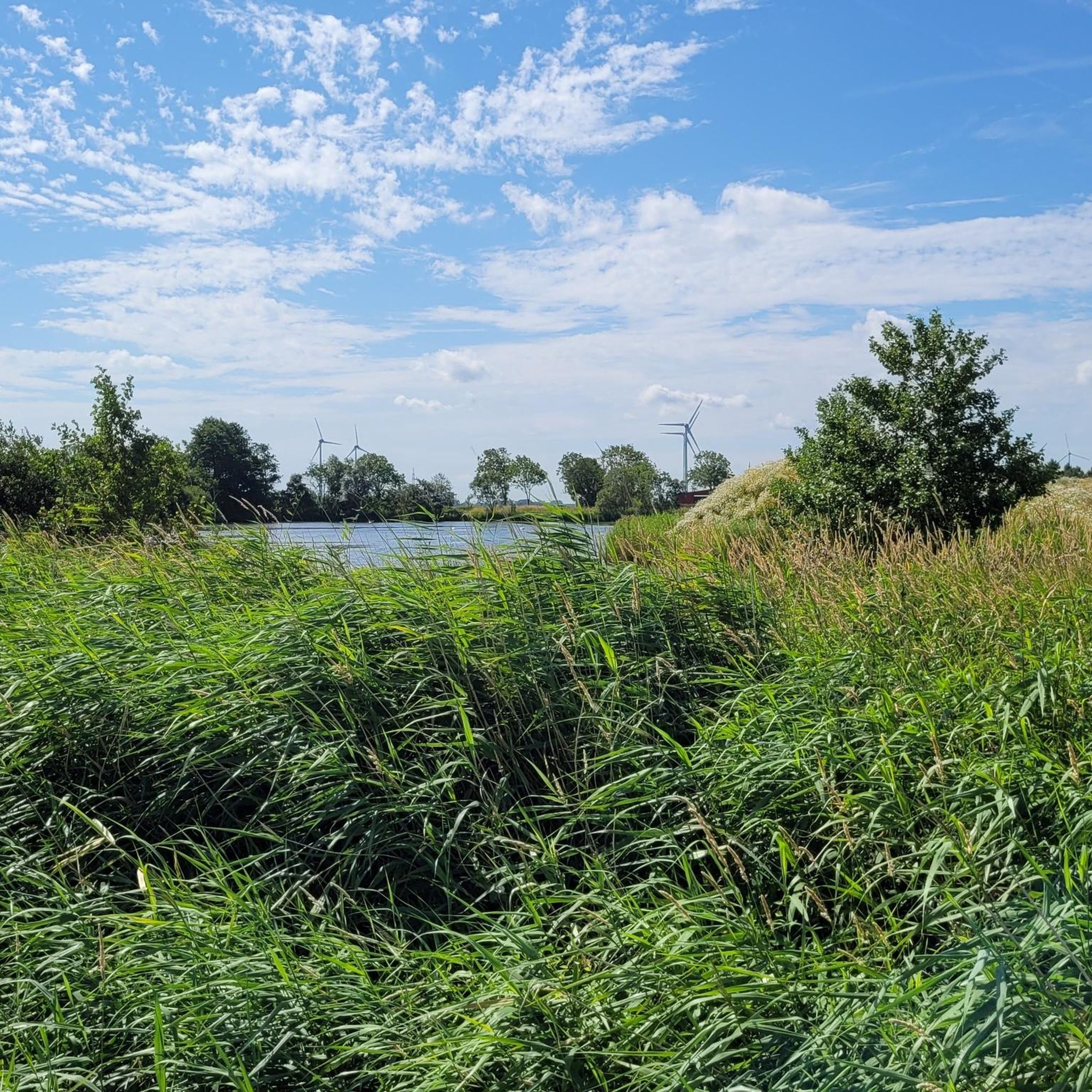
Running Trails around Werdum

Running Trails around Nenndorf

Running Trails in Carl-Georgs Forst

Running Trails in Ewiges Meer Und Umgebung
Other adventures in Wittmund


Tips from the Community

The horse-drawn railway's terminus is located in the Westend of Spiekeroog, not far from the beach, the lifeboat shed, and the information pavilion. It marks the western end of the historic island railway line. The Spiekeroog Island Railway was opened in 1885 and is one of Europe's oldest still-operating horse-drawn railways. Originally, it served to transport guests and luggage from the harbor through the village to the West Beach – a distance of about two kilometers. The railway initially operated with horses, was later also operated with steam locomotives and tractors at times, but today runs again in the traditional style with horses. It is considered a living piece of transport history and is one of the few remaining horse-drawn railways in Germany. The terminus in Westend is a small, historic stop with a waiting area and information boards. From here, it is only a few steps to the beach, the lifeboat shed, and the western dunes. The station serves as both a transfer point for return journeys to the harbor and as a starting point for walks into the quieter parts of the island. During peak travel times, the terminus is busy; in the off-season, the train runs less frequently or not at all. The route itself is a popular attraction for guests who want to experience the island in a cozy, historic way.
0
0
The dunes on Spiekeroog are the absolute heart and scenic treasure of the island, as the protection of this sensitive nature is particularly emphasized here. The dune landscape stretches across the island and provides a home for extremely protected habitats. Plants such as beach grass (with its deep roots that hold the sand), sea holly, and sand sedge defy the salty wind. Dunes are not rigid; they migrate and constantly change due to wind and storm surges. This makes them a fascinating natural ecosystem. This is precisely why the rule on Spiekeroog (as on all North Sea islands) is: The dunes must not be entered outside the designated paths under any circumstances! Signs and fenced-off areas help to preserve the sensitive vegetation so that the dunes do not lose their function as natural coastal protection. Thanks to great boardwalks, like the one from the Damenpfad to the beach, you can hike right through this beautiful, hilly dune world without harming it. From the top of the transitions, you have a breathtaking view over the island's typical expanse.
0
0
This is an idyllic little forest in the middle of the island's nature. Spiekeroog is known as the "Green Island" because, unlike many other North Sea islands, it has an exceptionally large and old tree population (including gnarled oaks, black pines, and indeed birches). The path through the birch grove is considered a beautiful place to find peace. There are benches there, and those who behave very quietly might even be able to observe red deer with a bit of luck.
0
0
From the Kohhukkdüne viewpoint dune, you have a great view over Spiekeroog. To the north, towards the beach, you see the vast dune landscape, to the west the Friederikenwäldchen woods and behind it the village. Far to the east, behind the Hermann Lietz-Schule school, lie the dune chains and salt marshes of the Ostplate. If you were standing here in 1738, you would now be in the sea. Because the eastern end of Spiekeroog was then a bit further towards the village – further west. This dune did not exist yet. It formed from 1740 onwards and could only reach a height of 18 m because a lot of sand was blown from a large moving dune north of the village and from the sandbanks in the east. This is no longer the case today, because other dunes and strong vegetation now catch the sand beforehand.
0
0
Von einem Aussichtspunkt aus hat man einen herrlichen Panoramablick auf die charakteristische Dünenlandschaft von Spiekeroog. Am Horizont ist der Blick auf das Meer frei. Die zu sehenden Dünen stammen aus unterschiedlichen Zeiträumen, wobei die älteren Dünen schon über 400 Jahre alt sind. Das Dünenalter erkennt man übrigens hier an der Dünenfärbung. So kann man grob sagen, je heller, desto jünger sind die Dünen. Es gibt hier vier verschiedene Dünentypen: Die Vordünen (sozusagen die Dünenkinder), die Weißdünen, Graudünen und Braundünen.
0
0

Go there - sit down - breathe deeply - ENJOY!!!
0
0

A great view
0
0
Great beach, a must-see.
0
0
Frequently Asked Questions
How many running routes are available in Wittmund?
Wittmund offers a wide selection of over 470 running routes. These trails cater to various preferences, from coastal paths to river routes along the Harle, ensuring a diverse experience for every runner.
What kind of terrain can I expect on Wittmund's jogging paths?
The jogging paths in Wittmund feature a diverse landscape, including coastal paths, river routes along the Harle, and varied terrain. You'll find a mix of both paved and natural surfaces, with many routes offering mostly paved sections for comfortable running.
Are there running trails suitable for beginners or those looking for an easy jog?
Yes, Wittmund has a good selection of easy running trails. There are 55 routes specifically graded as easy, perfect for beginners or those preferring a relaxed pace. An example is the View of Langeoog from the East – The fish shop loop from Langeoog, which is 2.5 miles (4.1 km) long.
What are some notable natural features or landmarks I can see while running in Wittmund?
Wittmund's running routes often feature scenic views of the North Sea and the Wadden Sea. You can also explore picturesque harbors like the Carolinensiel Museum Harbor, Harlesiel Harbour, and Bensersiel Harbour. The region also has green spaces and lakes, such as the Ewiges Meer Boardwalk and Moor Lake, offering varied backdrops for your run.
Are there any long-distance running trails in Wittmund for more advanced runners?
Yes, Wittmund offers several longer routes for experienced runners. For instance, the Langeoog East End – Pirolatal Entrance loop from Langeoog Bf is a challenging 13.3 miles (21.4 km) trail, providing an extensive run through coastal landscapes.
Can I find circular running routes in Wittmund?
Many of Wittmund's running trails are designed as loops, offering convenient circular routes. For example, the Spiekeroog Beach – View of the Main Beach loop from Ruhezone I/28 is a 7.5 miles (12.1 km) circular path, allowing you to start and finish at the same point.
What do other runners enjoy most about jogging in Wittmund?
The running routes in Wittmund are highly rated by the komoot community, with an average score of 4.5 stars from over 700 reviews. Runners often praise the diverse coastal and river scenery, the well-maintained paths, and the variety of routes suitable for different fitness levels.
Are there running routes in Wittmund that are suitable for families?
While specific 'family-friendly' tags aren't available, many of the easier and moderate routes with mostly paved surfaces, especially those along the Harle river or near the harbors, would be suitable for families. These often offer gentle gradients and interesting sights along the way.
Are there dog-friendly running trails in Wittmund?
Wittmund's natural landscapes, including coastal paths and river routes, generally welcome dogs. It's always recommended to keep your dog on a leash, especially in nature reserves or near livestock, and to check local regulations for specific areas. Many trails, like those along the Harle river, are popular for walks and runs with dogs.
Are there running routes accessible by public transport in Wittmund?
Yes, some running routes in Wittmund are accessible via public transport, particularly those starting from towns or ferry terminals. For instance, routes like the Langeoog Ferry Harbor – Langeoog Harbour Promenade loop from Langeoog Bf are conveniently located near public transport hubs, making them easy to reach without a car.
What is the best time of year for jogging in Wittmund?
Wittmund offers pleasant jogging conditions throughout much of the year. Spring and autumn provide mild temperatures and beautiful scenery. Summer is also popular, especially for coastal runs, though it can be busier. Even in winter, the mostly paved surfaces and coastal paths can be enjoyable, provided you dress appropriately for the North Sea weather.
Are there any running routes that offer views of the Wadden Sea?
Absolutely. Wittmund's proximity to the North Sea and Wadden Sea means many routes offer stunning coastal views. Paths along the Harle river, particularly between Carolinensiel and Harlesiel, provide excellent opportunities to experience the unique Wadden Sea landscape while you run.
Most popular routes in Wittmund
Most popular attractions in Wittmund

Get inspired with the komoot mobile app


Didn’t find what you were looking for?
Check out more Running Trails & Routes throughout Wittmund below and find the perfect route in your destination.
Explore more
Browse the best Running Trails & Routes in other regions.
