The best walks and hikes around Sobral De Monte Agraço
4.5
(97)
518
hikers
43
hikes
Hiking around Sobral De Monte Agraço offers varied terrain characterized by rolling hills, verdant valleys, and elevated points that provide panoramic views. The region features a blend of natural landscapes and historical significance, including fortifications from the Lines of Torres Vedras. Hikers can explore routes that traverse open countryside, traditional windmill areas, and forested sections. The area's topography provides options ranging from gentle walks to more challenging ascents.
Best hiking trails around Sobral De Monte Agraço
- The most popular hiking route is Route of Charms (PR9 TVD), a 7.3 miles (11.7 km) trail that takes 3 hours 44 minutes to complete. This moderate route explores the region's natural beauty and historical points.
- Another top favourite among local hikers is Sobral de Monte Agraço Swings Trail, a moderate 6.2 miles (10.0 km) path. This route leads through varied countryside to a viewpoint, offering scenic vistas.
- Local hikers also love the Route of Serra da Archeira — circular route, a 6.6 miles (10.6 km) trail leading through the rolling hills of Serra da Archeira, often completed in about 3 hours 6 minutes.
- Hiking around Sobral De Monte Agraço is defined by rolling hills, historical fortifications, and traditional windmills. The network offers options for different ability levels, from moderate paths to more difficult ascents.
- The routes in Sobral De Monte Agraço are highly rated by the komoot community with an average score of 4.6 stars from over 80 reviews. More than 400 hikers have used komoot to explore Sobral De Monte Agraço's varied terrain.
Last updated: July 7, 2026
5.0
(2)
7
hikers
11.7km
03:44
510m
520m
Hike the moderate 7.3-mile Serra do Socorro circular route, featuring panoramic views and historical landmarks like Forte da Archeira.
4.3
(6)
9
hikers
10.0km
02:50
230m
230m
Hike the 6.2-mile circular route from Sobral de Monte Agraço to Baloiço da Chã, a moderate trail with panoramic swings and views.

Sign up for free
3.0
(1)
6
hikers
10.6km
03:05
270m
280m
Moderate hike. Good fitness required. Easily-accessible paths. Suitable for all skill levels.
5.0
(1)
6
hikers
8.87km
02:25
130m
130m
Moderate hike. Good fitness required. Easily-accessible paths. Suitable for all skill levels.
4
hikers
Hard hike. Good fitness required. Sure-footedness, sturdy shoes and alpine experience required.
Get access to more routes and recommendations from other explorers.
Sign up for free
Already have an account?
Our route recommendations are based on thousands of hikes, rides, and runs completed by other people on komoot.
Start today with a free account
Your next adventure awaits.
Login or Signup
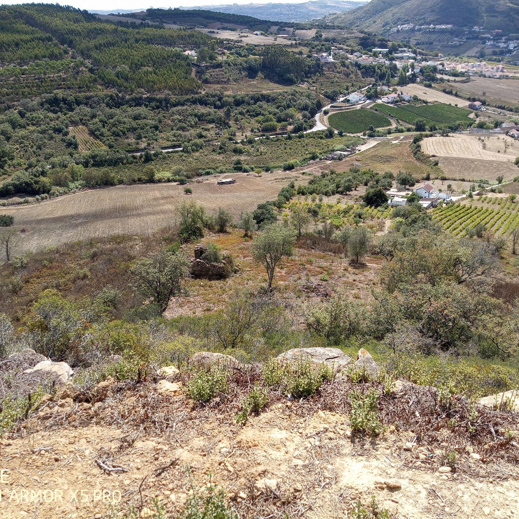
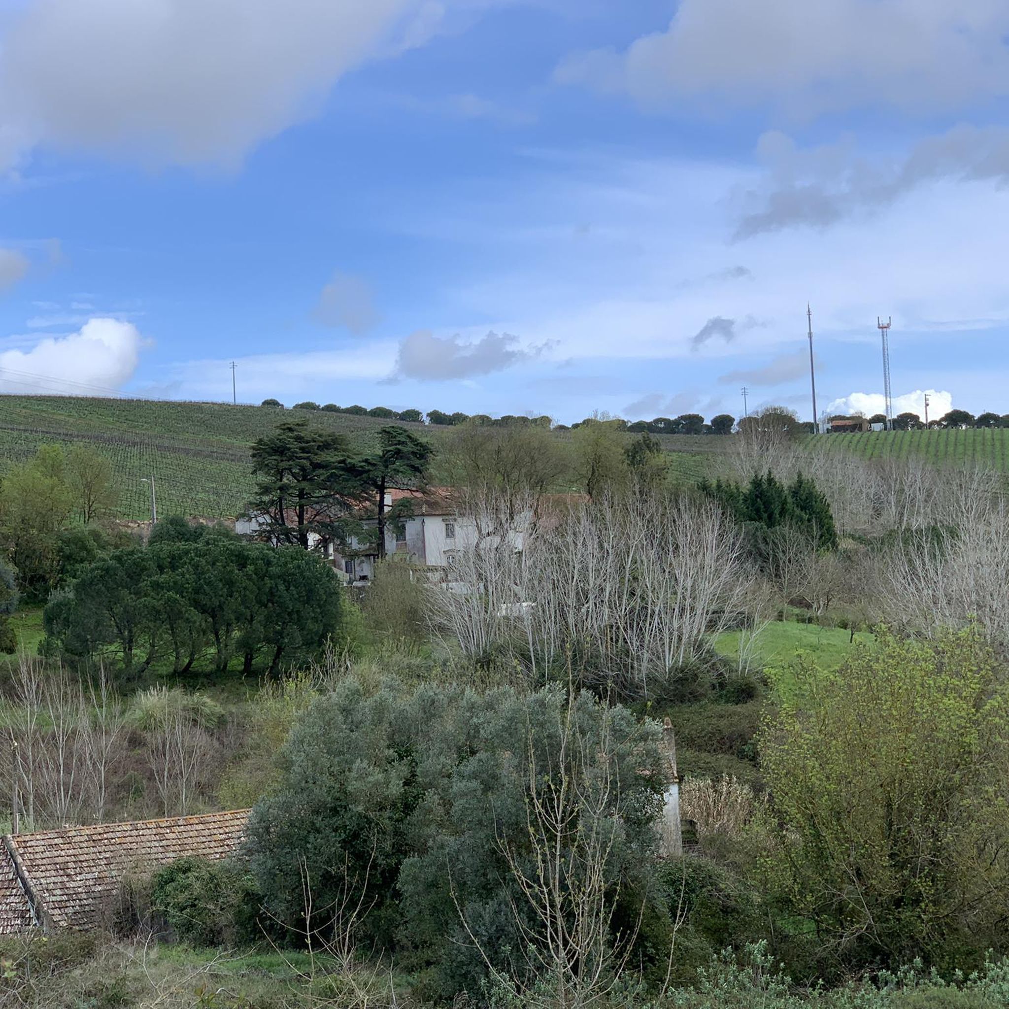
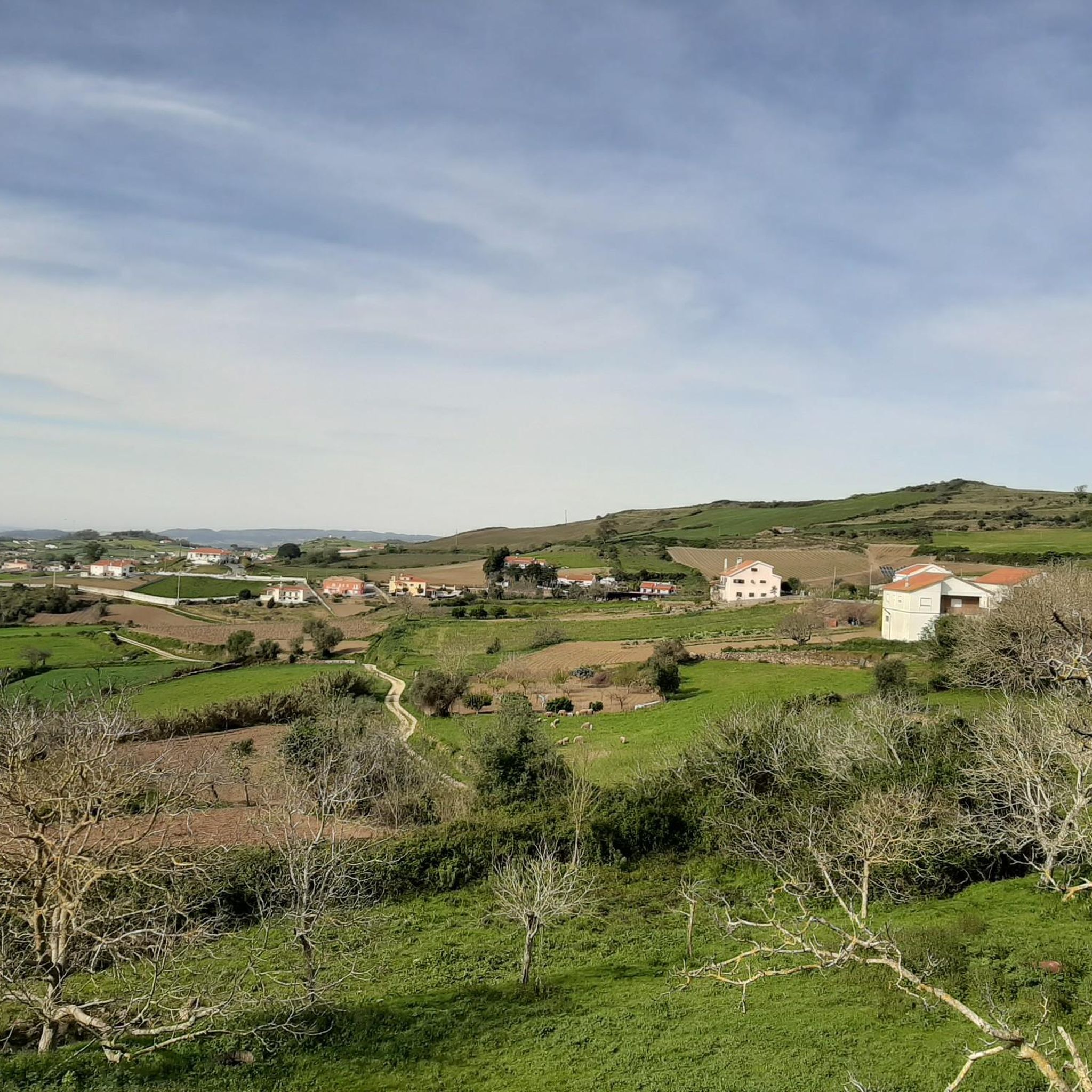
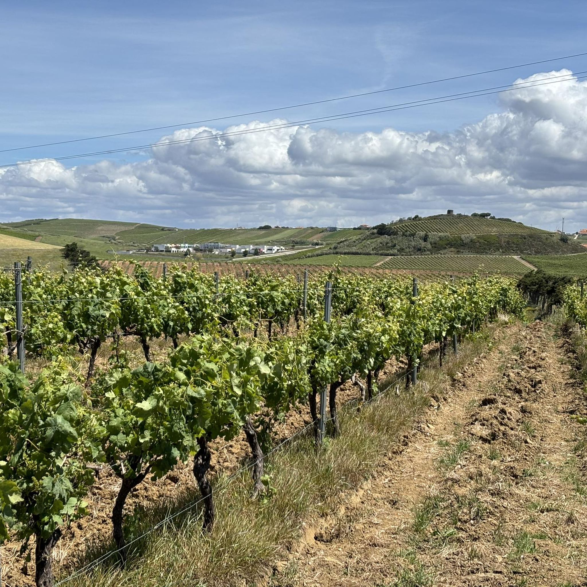
Tips from the Community

Short hike from Chã to the beautiful viewpoint with a swing.
2
0

This is the highest point in the municipality of Mafra, 431m above sea level.
1
0
This simple swing has a beautiful view of the Serra de Sintra and helps to break up the climb/descent of Monteleite. Thanks to whoever put it there!
2
0

Located at the top of the mountain, the Hermitage of Nossa Senhora do Socorro, originally a mosque, was converted into a Catholic temple by D. Afonso Henriques and rebuilt during the reign of D. Manuel I. It offers panoramic views and displays Manueline stones inside.
1
0
Section of the path on a gravel road that runs alongside the wind farm. The feeling of walking next to a large rotating wind blade is interesting to say the least. Panoramic views of Serra da Archeira.
1
0
Very beautiful chapel with simple architecture in the center of the village of Furadouro. Largo da Capela - and its small car park - is an ideal point for exploring the Archeira mountain range.
0
0
Forte da Archeira, part of the Lines of Towers defensive north of Lisbon during the Peninsular War, is a military fortification located at an altitude of 345 m. It was part of the 1st Defensive Line with the forts of Catefica and Feiteira. Despite not having gunboats, it has traces of a magazine. It forms part of the Lines of Torres, a system of 152 fortifications stretching over 80 km, built between 1809 and 1812 to prevent the advance of Napoleonic troops.
2
0
One of the many swings in the area. It provides a breathtaking landscape of the region - as well as fun.
0
0
Frequently Asked Questions
How many hiking trails are available in Sobral de Monte Agraço?
There are over 45 hiking routes in Sobral de Monte Agraço, catering to various skill levels. You'll find a good mix of easy, moderate, and challenging paths to explore the region's diverse landscapes.
What kind of terrain can I expect on hikes in Sobral de Monte Agraço?
The region is characterized by rolling hills, verdant valleys, and elevated points offering panoramic views. You'll encounter varied terrain, from open countryside and traditional windmill areas to forested sections and historical fortifications from the Lines of Torres Vedras.
Are there any easy hiking trails suitable for beginners in Sobral de Monte Agraço?
Yes, Sobral de Monte Agraço offers 11 easy hiking routes perfect for beginners or those seeking a more relaxed walk. These trails allow you to enjoy the scenery without significant challenge.
What are some notable historical landmarks or viewpoints to see while hiking?
Many trails integrate historical sites. You can explore fortifications from the Lines of Torres Vedras, such as the Forte da Archeira. The Serra do Socorro area also offers panoramic views, and traditional windmills dot the countryside, some of which served as watchtowers during the Peninsular War.
Are there any circular hiking routes in Sobral de Monte Agraço?
Yes, many routes in the area are circular. For example, the Route of Serra da Archeira is a popular circular trail winding through rolling hills. Another option is the Sobral de Monte Agraço Swings Trail, which leads to a scenic viewpoint.
What is the best time of year to go hiking in Sobral de Monte Agraço?
The mild and pleasant weather during spring (April to June) and fall (September to October) makes these seasons ideal for hiking in Sobral de Monte Agraço. The temperatures are comfortable, and the natural landscapes are particularly vibrant.
Are there any family-friendly places to visit near the hiking trails?
Absolutely. The Cerco Garden and Tapada Nacional de Mafra offer natural spaces for families. Within Sobral de Monte Agraço, Parque Verde das Bandorreiras is a municipal garden with amenities like a playground and amphitheater, suitable for leisure after a hike.
What do other hikers say about the trails in Sobral de Monte Agraço?
The hiking routes in Sobral de Monte Agraço are highly rated by the komoot community, with an average score of 4.6 stars from over 80 reviews. Hikers often praise the varied terrain, the blend of natural beauty with historical points, and the well-maintained paths.
Are there any trails that feature waterfalls?
While the region is known for its rolling hills and historical sites, you can find natural features like the Shaded Trail with Waterfalls nearby, offering a different kind of natural beauty to explore.
Can I find challenging hikes in Sobral de Monte Agraço?
Yes, for those seeking a challenge, there are 6 difficult routes available. An example is the Três Cabeços – Cabeço da Atalaia (431 m) loop from Venda do Pinheiro, which covers over 12.5 km with significant elevation changes.
Are there any trails that highlight the traditional windmills of the region?
Yes, the Rota dos Moinhos do Sobral (Windmills Route) is specifically designed to showcase the traditional windmills that are a charming feature of the landscape. Some of these windmills also have historical significance as watchtowers.
Most popular attractions around Sobral De Monte Agraço

Get inspired with the komoot mobile app


Explore more
Browse the best Hikes in other regions.
