The best road cycling routes around Aasbüttel
4.6
(31)
298
riders
63
rides
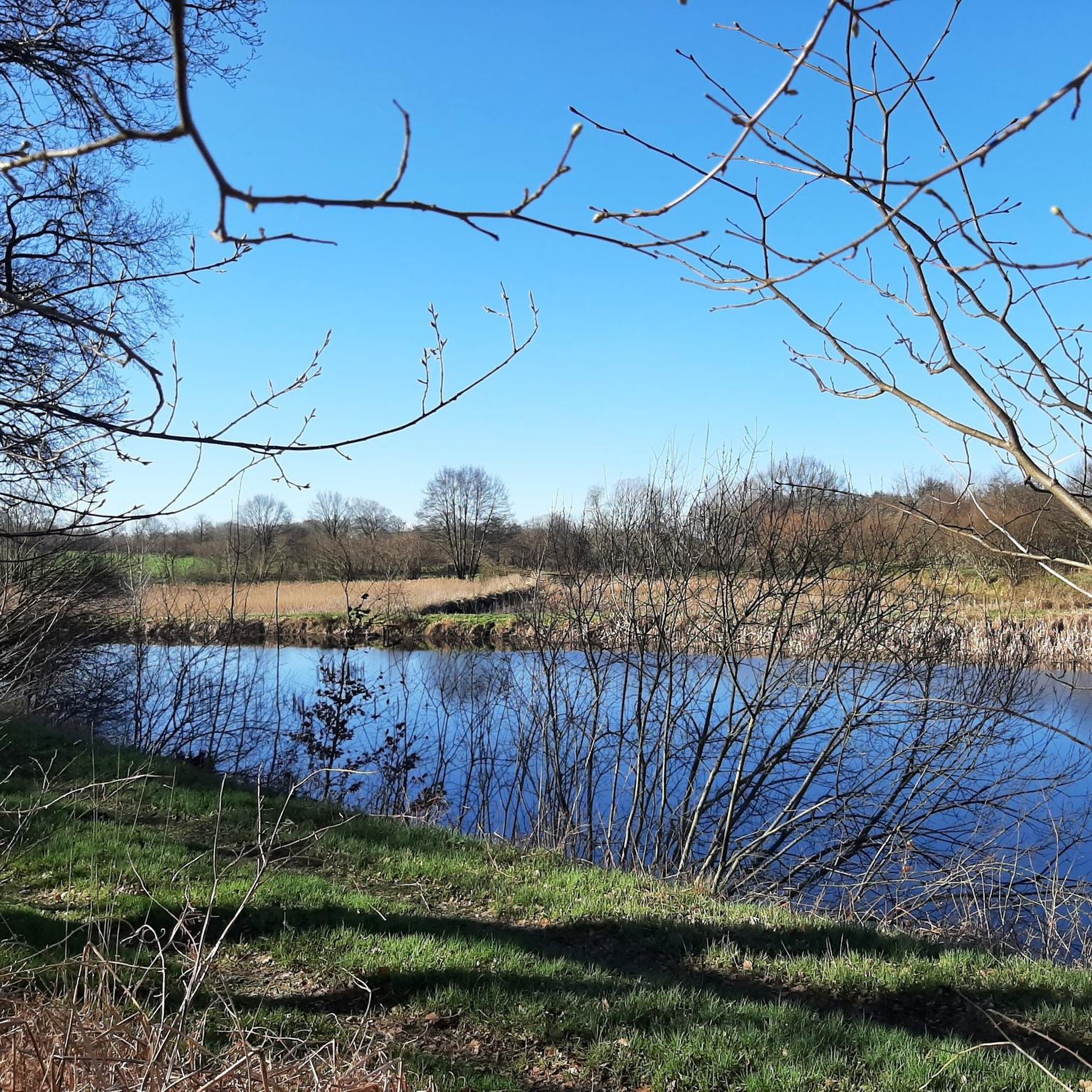
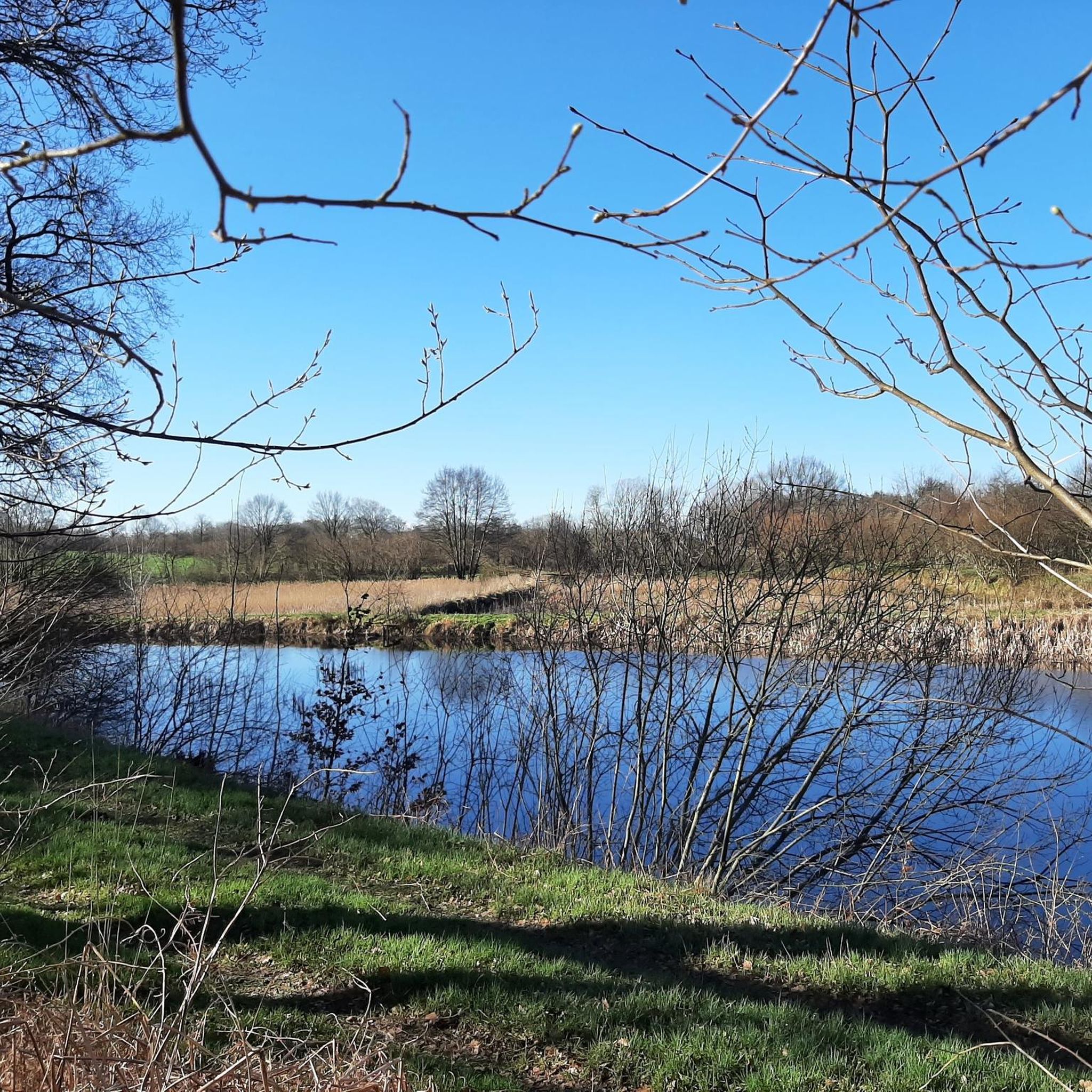
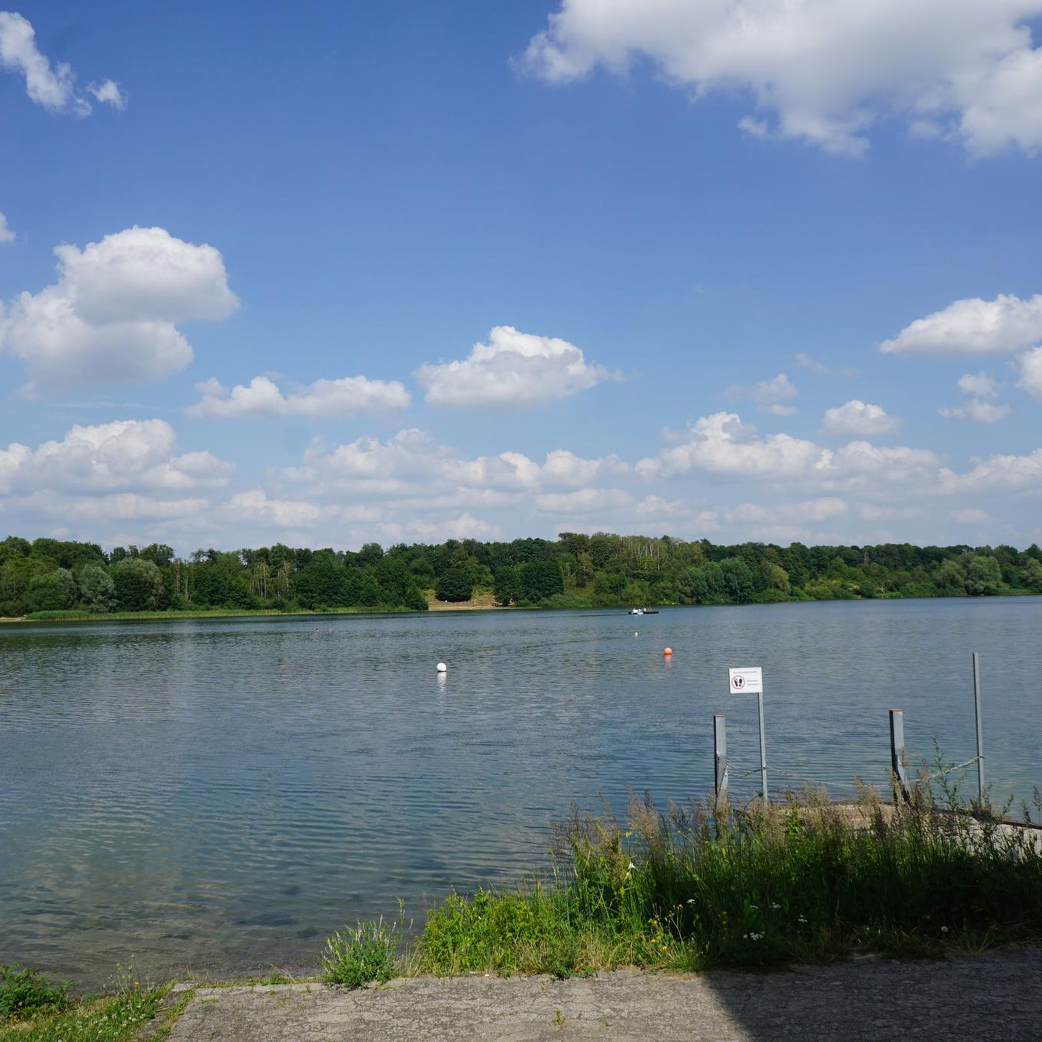
Road cycling routes around Aasbüttel traverse a landscape characterized by low-lying plains, waterways, and agricultural fields. The region features a network of canals and rivers, with minimal elevation changes, making it suitable for longer, flatter rides. Key landmarks include bridges and barrages, indicating routes that often follow water features.
Best road cycling routes around Aasbüttel
- The most popular road cycling route is Lowest Point in Germany – Grünental High Bridge loop from Gokels, a 60.7 miles (97.7 km) trail…
Last updated: July 15, 2026
4.7
(7)
48
riders
88.7km
03:41
360m
360m
Moderate road ride. Good fitness required. Mostly well-paved surfaces and easy to ride.
5.0
(1)
18
riders
67.2km
02:43
170m
170m
Moderate road ride. Good fitness required. Some segments of this route may be unpaved and difficult to ride.

Sign up for free
9
riders
33.8km
01:21
160m
160m
Easy road ride. Great for any fitness level. Mostly well-paved surfaces and easy to ride.
7
riders
36.8km
01:36
190m
190m
Moderate road ride. Great for any fitness level. Some segments of this route may be unpaved and difficult to ride.
4.5
(2)
2
riders
65.1km
02:39
110m
110m
Moderate road ride. Good fitness required. Some segments of this route may be unpaved and difficult to ride.
Get access to more routes and recommendations from other explorers.
Sign up for free
Already have an account?
Our route recommendations are based on thousands of hikes, rides, and runs completed by other people on komoot.
Start today with a free account
Your next adventure awaits.
Login or Signup
Tips from the Community

Helpful support for repairs 💯🔝👍🏻😊🚴♀️
3
0

Here you can get a stamp for your collection!!!!
2
1

Very quaint and also practical: I made myself comfortable in the armchair and waited for the rain.
2
0
It's always good to know where one is. I always mark it on longer trips. The bench next to it is very helpful when doing repairs.
2
0

Everything necessary is there to make small improvements to the bike.
1
0

It is an experience to use the ferries to change sides on the NOK
1
0

Cute little harbor. Nice harbor master.
0
0
Frequently Asked Questions
How many road cycling routes are available around Aasbüttel?
There are over 60 road cycling routes around Aasbüttel, offering a variety of options for different skill levels. The region is known for its flat terrain, extensive waterways, and open agricultural landscapes.
Are there easy road cycling routes suitable for beginners in Aasbüttel?
Yes, Aasbüttel offers 22 easy road cycling routes, perfect for beginners or those seeking a relaxed ride. These routes typically feature minimal elevation changes, making them accessible for all. An example is the Hohenhörn Canal Ferry – Schenefeld Mill Pond loop from Pöschendorf, which is 33.7 km long.
What are the typical durations for road cycling routes in Aasbüttel?
Route durations vary, but many moderate routes can take between 3 to 4 hours. For instance, the Lowest Point in Germany – Grünental High Bridge loop from Gokels is a 97.7 km route that typically takes around 4 hours 3 minutes to complete. Shorter, easy routes can be completed in under 2 hours.
Are there any family-friendly road cycling options in Aasbüttel?
Given the predominantly flat terrain and numerous easy routes, Aasbüttel is well-suited for family road cycling. Routes that follow canal paths or quiet country roads, like the Holy Spirit Church Wacken – Lowest Point in Germany loop from Pöschendorf, are often ideal for families looking for a pleasant ride together.
Can I find challenging road cycling routes in Aasbüttel?
While Aasbüttel is known for its flat landscape, there are 44 moderate routes that offer longer distances and can provide a good challenge. These routes often cover more ground, allowing for extended rides. The Stör Barrage – Kasenort Inland Lock loop from Wacken, at 67.2 km, is a popular moderate option.
What is the best time of year for road biking in Aasbüttel?
The spring and summer months generally offer the most pleasant conditions for road biking in Aasbüttel, with milder temperatures and longer daylight hours. Autumn can also be beautiful, with changing foliage along the waterways and fields, though cooler temperatures and potential for rain should be considered.
Are there circular road bike routes available in Aasbüttel?
Yes, many of the road cycling routes in Aasbüttel are designed as loops, allowing you to start and end at the same point. Examples include the Lowest Point in Germany – Grünental High Bridge loop from Gokels and the Fast section loop from Siezbüttel, providing convenient options for exploration.
What scenic viewpoints or landmarks can I see along the road cycling routes?
Road cycling routes in Aasbüttel often feature views of the region's characteristic waterways, agricultural fields, and bridges. Notable landmarks include the Grünental High Bridge and the Hohenhörn Canal Ferry. You might also pass by various lakes such as Muldsberg Clay Pit Lake.
What do other road cyclists enjoy most about road cycling in Aasbüttel?
The area is highly rated by the komoot community, with an average score of 4.5 stars from over 20 reviews. Reviewers often praise the flat, well-maintained roads, the peaceful canal-side scenery, and the opportunity for long, uninterrupted rides through the open landscape.
Are there opportunities for wildlife spotting while road cycling in Aasbüttel?
Given the region's natural landscape of waterways, fields, and low-lying plains, there are opportunities to observe local wildlife, particularly various bird species, especially along the more rural and less crowded sections of the routes.
Can I find routes that pass by lakes or other water features?
Yes, the region's network of canals and rivers means many routes follow water features. You can find routes that pass by lakes like Muldsberg Clay Pit Lake or offer views of the Klein Westerland Swimming Area, providing picturesque scenery.
Are there any historical or cultural attractions accessible by road bike?
While the focus is on natural landscapes, routes may pass by points of interest such as the Old Chain Ferry, Fischerhütte, which offers a glimpse into the region's history and infrastructure related to its waterways.
Most popular attractions around Aasbüttel

Get inspired with the komoot mobile app


Explore more
Browse the best Road cycling routes in other regions.
