The best running trails around Geilenkirchen
4.5
(68)
1,372
runners
130
runs
Jogging routes around Geilenkirchen traverse a varied landscape characterized by extensive nature reserves, river valleys, and historic sites. The region features the Teverener Heide, an expansive area of heath, forests, and lakes, alongside the Wurmtal, a largely untouched river valley. These natural features provide diverse and engaging running routes with generally low-gradient terrain.
Best jogging routes around Geilenkirchen
- The most popular jogging route is Teverener Heide Lakes – Pine Lake loop from NATO E-3A Airbase Geilenkirchen, an 8.7 miles (14.0 km) trail that takes 1 hour 28 minutes to complete. This moderate route explores the scenic lakes and pine forests within the Teverener Heide.
- Another top favourite among local runners is Teverener Heide Nature Reserve – Pine Lake loop from NATO E-3A Airbase Geilenkirchen, a moderate 5.6 miles (9.1 km) path. This route offers a shorter exploration of the Teverener Heide Nature Reserve, passing by Pine Lake.
- Local runners also love the Trips Castle – The new river course loop from Geilenkirchen, a 5.7 miles (9.2 km) trail leading through the Wurm river valley and past historic Trips Castle, often completed in about 58 minutes.
- Jogging around Geilenkirchen is defined by heathland, river valleys, and forests. The network offers options for different ability levels, from easy short runs to more challenging trails.
- The routes in Geilenkirchen are highly rated by the komoot community with an average score of 4.4 stars from over 60 reviews. More than 1300 runners have used komoot to explore Geilenkirchen's varied terrain.
Last updated: July 4, 2026
4.3
(12)
209
runners
14.0km
01:29
70m
70m
Moderate run. Good fitness required. Mostly paved surfaces. Suitable for all skill levels.
4.0
(2)
65
runners
Moderate run. Good fitness required. Mostly paved surfaces. Suitable for all skill levels.

Sign up for free
5.0
(1)
63
runners
14.1km
01:30
60m
60m
Moderate run. Good fitness required. Mostly paved surfaces. Suitable for all skill levels.
4.5
(4)
43
runners
7.91km
00:50
40m
40m
Moderate run. Good fitness required. Mostly paved surfaces. Suitable for all skill levels.
5.0
(2)
26
runners
Moderate run. Good fitness required. Mostly paved surfaces. Suitable for all skill levels.
Get access to more routes and recommendations from other explorers.
Sign up for free
Already have an account?
Our route recommendations are based on thousands of hikes, rides, and runs completed by other people on komoot.
Start today with a free account
Your next adventure awaits.
Login or Signup
Tips from the Community

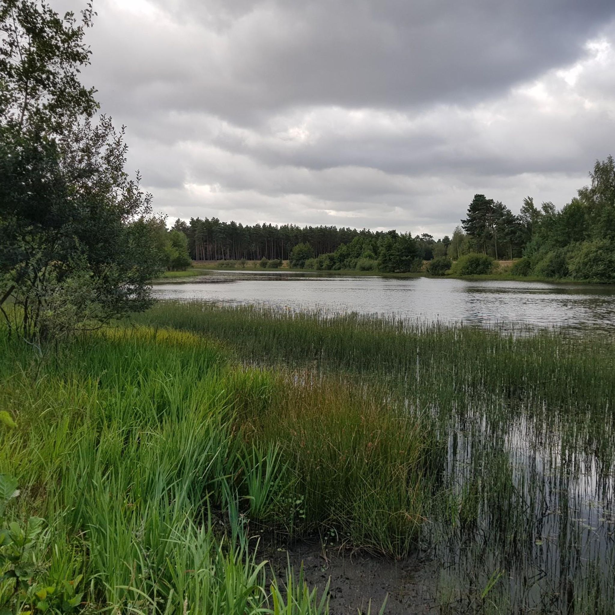
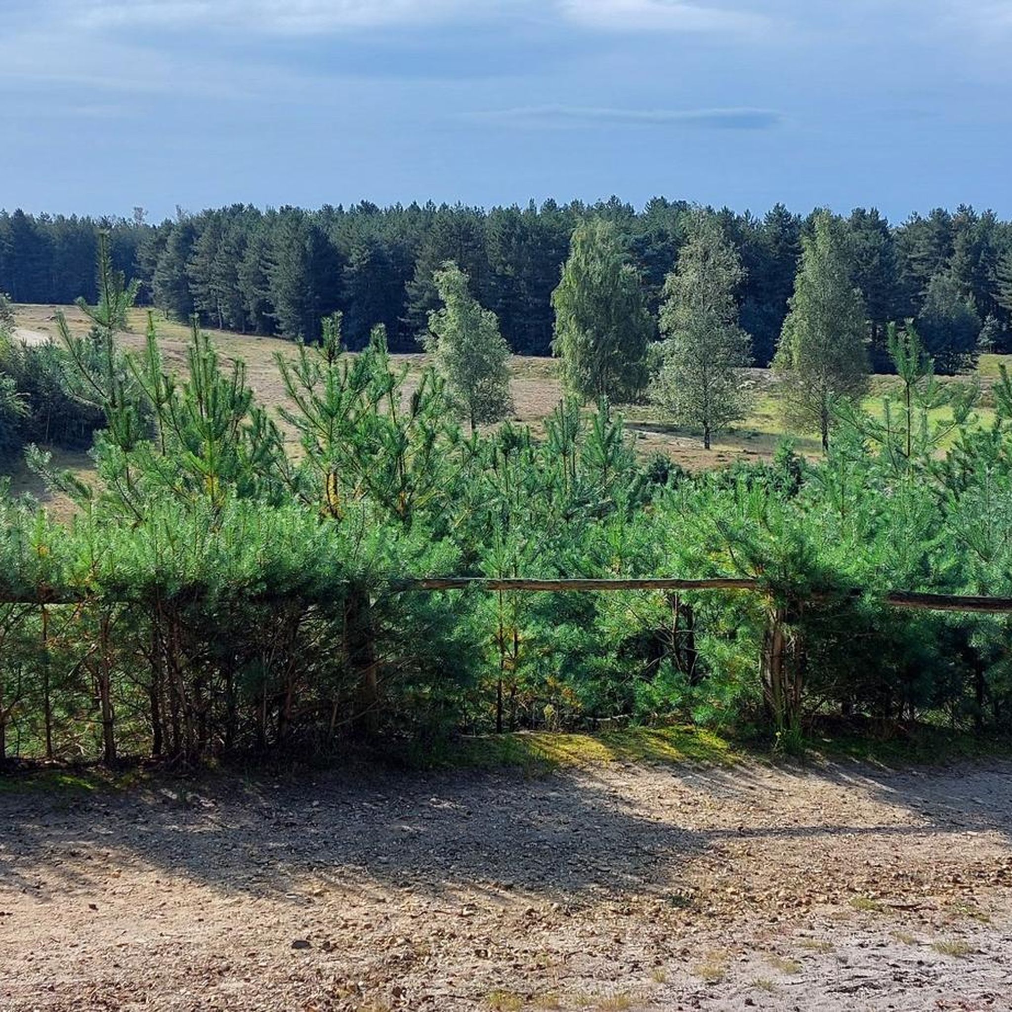
From this vantage point, a magnificent panorama unfolds over Lake Rohrkolbensee, a clear lake surrounded by forest and dunes, and the Teewensee dunes with their undulating sand hills and lush vegetation. The view combines water, sand, and greenery into a harmonious, almost serene environment that invites peace and reflection. The dunes offer a gentle transition from forest to open water, and the reef-like landscape of the shore contrasts beautifully with the still surface of the lake. Birds, insects, and sometimes even deer make this area their home, allowing you to observe a vibrant piece of nature during a walk.
0
0

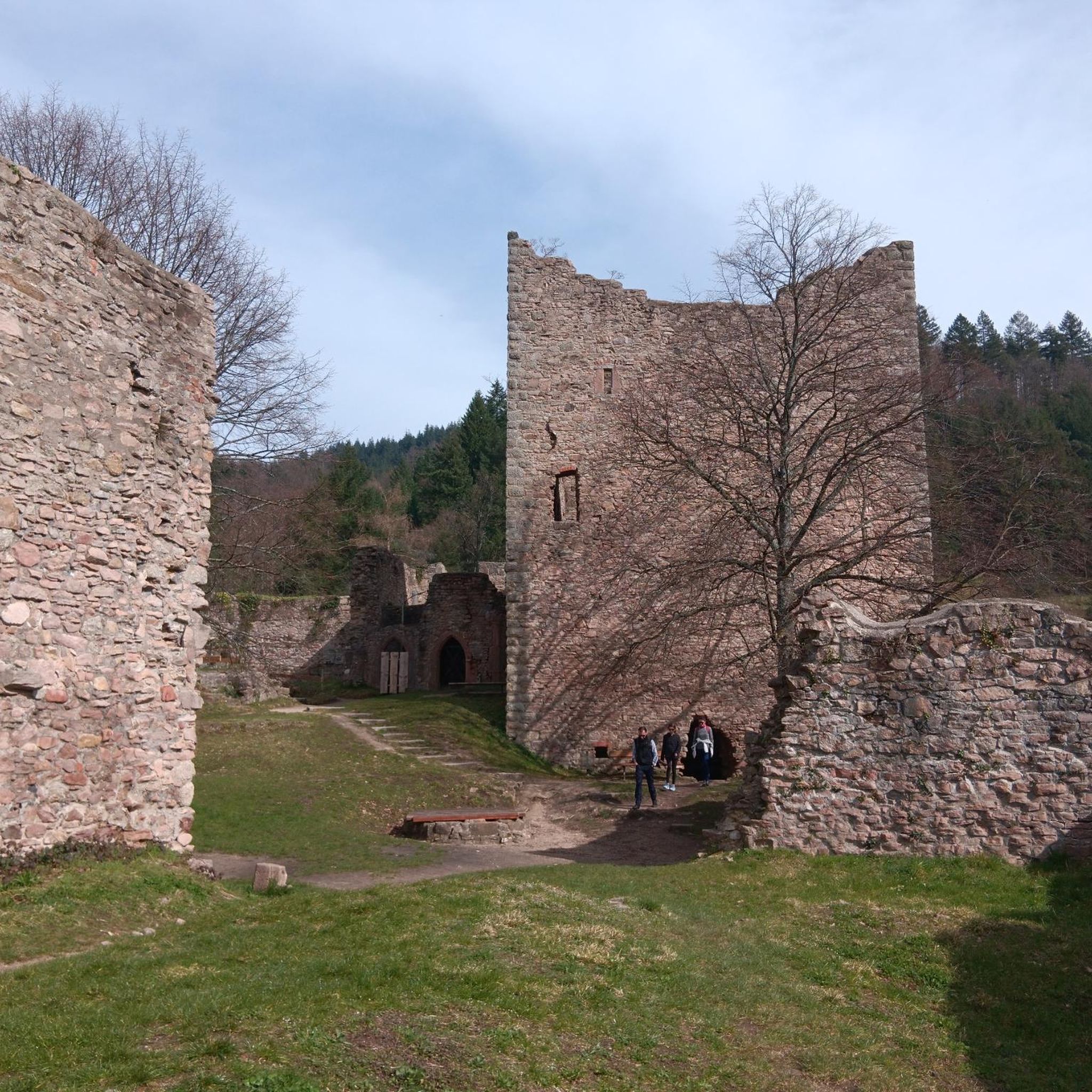
From the bridge at the Tripser Mill, you have a beautiful view of the Wurm.
0
0

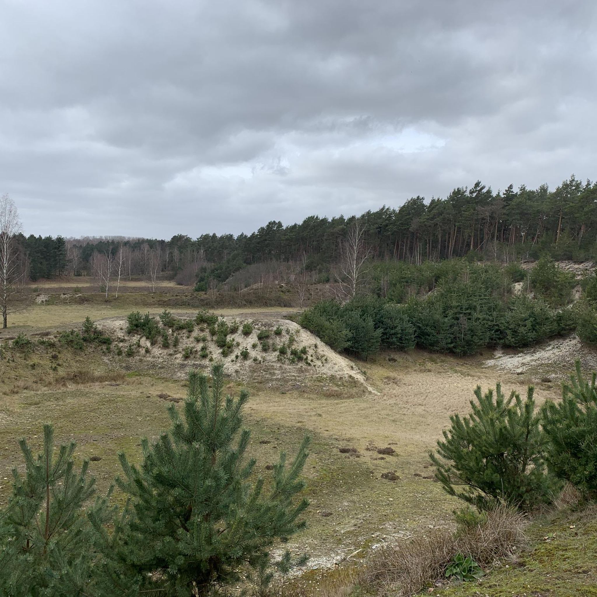
Beautiful pit with young heather, this should look beautiful in a few years.
2
0

There are savoury dishes and cakes here. Very tasty. Self-service.
1
0

Visible from afar thanks to the large signs
6
0
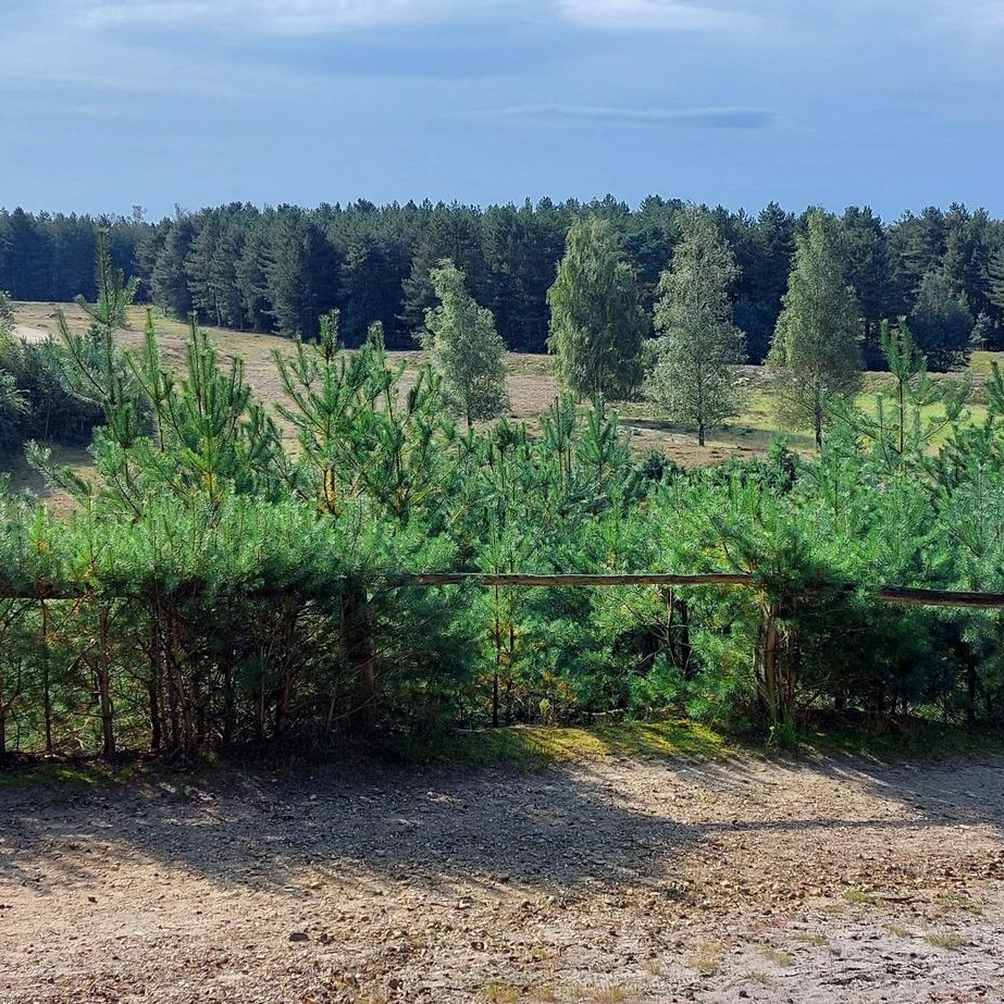
Good location for watching birds of prey.
5
0
After NATO's decision to set up the NATO early warning fleet and to make Geilenkirchen airfield the main operational base of the E-3A formation, extensive construction work was initiated in 1980 to create suitable operational and support facilities to accommodate the E-3A formation to provide. In January 1980, the first E-3A personnel arrived at the airfield. In October 1980, NATO's Defense Planning Committee granted the E-3A the status of an international military headquarters. By the end of 1981, the German missile squadron had left the airfield and was relocated to the Selfkant barracks in Niederheid, north of Geilenkirchen. The 85th US Army Field Artillery Detachment remained at the airfield until it was disbanded in July 1991. The most important construction work at the airfield initially included a new 3,000 m (10,000 ft) long and 45 m (150 ft) wide runway, new hall aprons and taxiways, a new control tower, a new Information Technology Wing building (in which the flight simulators and mission simulators are also housed), accommodation buildings, as well as extensive renovation work on the four existing aircraft hangars. Most of the buildings on the airfield have now been renovated or redesigned to meet today's standards. Some new buildings were also constructed. AWACS on the airfield The first of 18 AWACS machines was handed over to NATO on January 25, 1982 in Oberpfaffenhofen. Flight operations of the E-3A unit began in February 1982 after delivery of the first E3A aircraft AWACS. On March 31, 1982, the Federal Republic of Germany officially handed over the main operational airfield to NATO. The E-3A unit was officially put into service on June 28, 1982 and reached full operational capability by the end of 1988. The flying command posts were able to monitor the airspace far into the Warsaw Pact alliance territory. In 2015, the 'Force Command', the higher-level command post for the two AWACS units in Geilenkirchen and Waddington (GB), moved from Mons, Belgium, to the Geilenkirchen base. The Geilenkirchen location was thus upgraded to the NATO headquarters, AWACS HQ.
7
0
Frequently Asked Questions
How many running routes are available around Geilenkirchen?
There are over 120 running and jogging routes around Geilenkirchen, catering to various fitness levels. You'll find a good mix of easy, moderate, and challenging trails to explore.
What kind of terrain can I expect on the jogging trails in Geilenkirchen?
The jogging trails in Geilenkirchen offer a varied landscape. You can expect to run through extensive nature reserves like the Teverener Heide with its heath and forests, along river valleys such as the Wurmtal, and past tranquil lakes. Many routes feature mostly paved surfaces, but also natural paths through woodlands and meadows, generally with low-gradient terrain.
Are there any family-friendly running paths in the Geilenkirchen area?
Yes, Geilenkirchen offers several family-friendly running paths. The region's generally low-gradient terrain and diverse natural landscapes, including the Wurmtal with its accessible paths, make it suitable for various fitness levels, including families. Look for routes marked as 'easy' for the most suitable options.
Can I bring my dog on the running routes in Geilenkirchen?
Many running routes in Geilenkirchen, especially those through nature reserves like the Teverener Heide, are dog-friendly. It's always recommended to keep your dog on a leash, especially in protected areas, and to check local regulations for specific trails. The diverse landscapes provide plenty of space for you and your canine companion to enjoy.
Are there any circular running routes in Geilenkirchen?
Yes, many of the running routes around Geilenkirchen are circular, offering convenient starting and ending points. Popular examples include the Teverener Heide Lakes – Pine Lake loop and the Trips Castle – The new river course loop, allowing you to experience varied scenery without retracing your steps.
What are some scenic landmarks or attractions I can see while running in Geilenkirchen?
Jogging in Geilenkirchen allows you to combine exercise with sightseeing. You can run past historic sites like Trips Castle, a 13th-century moated castle, or the Hünshoven Oil Mill. The Teverener Heide features beautiful lakes such as Teewensee, Welter Pond, and Rohrkolbensee, as well as the Schutterspark Pond. The Wurmtal also offers views of charming villages and water mills. You might even spot the Bird Watching Hut Brunssummerheide or the Bird Observation Tower at Rurmäander Lake.
Where can I find parking for the running trails in Geilenkirchen?
Parking is generally available near popular trailheads, especially for larger nature areas like the Teverener Heide. Specific car parks for the Teverener Heide include Hohenbusch, Grotenrath, and Scherpenseel. For routes starting closer to the town center or specific attractions like Trips Castle, you'll often find designated parking areas nearby.
Is public transport available to access the running routes?
Yes, public transport can be used to reach various starting points for running routes in Geilenkirchen. The town itself is connected, and some bus routes serve areas closer to nature reserves like the Teverener Heide. It's advisable to check local bus schedules to plan your access to specific trailheads.
Are there any cafes or refreshment stops along or near the running routes?
Yes, you can find cafes and refreshment stops, particularly near popular areas or villages. For instance, the 'Café on the Rodebach loop' suggests a route with a cafe nearby. The Teverener Heide also has cafes in surrounding villages, and the Wurmtal features charming villages that may offer places to stop for a drink or snack after your run.
What do other runners enjoy most about jogging in Geilenkirchen?
The running experience in Geilenkirchen is highly rated by the komoot community, with an average score of 4.4 stars. Runners often praise the diverse and scenic landscapes, from the tranquil forests and lakes of the Teverener Heide to the idyllic Wurm river valley. The variety of routes and the blend of nature with historical sites are frequently highlighted as enjoyable aspects.
What is the best time of year to go running in Geilenkirchen?
Geilenkirchen offers enjoyable running conditions throughout the year. Spring and autumn provide pleasant temperatures and beautiful scenery with blooming flowers or vibrant foliage. Summer is great for early morning or late evening runs to avoid the heat, while winter can offer crisp, refreshing runs, especially in the Teverener Heide, though some trails might be muddy or icy after rain or snow.
Are there any challenging running routes for experienced runners?
While many routes are moderate, Geilenkirchen does offer more challenging options for experienced runners. With 11 routes classified as 'difficult', you can find trails with longer distances or slightly more varied elevation profiles, particularly within the expansive Teverener Heide, to test your endurance and skill.
Do I need a permit to run in the Teverener Heide Nature Reserve?
Generally, no special permit is needed for recreational activities like running in the Teverener Heide Nature Reserve. However, as it is a protected area, it's important to stay on marked paths, respect wildlife, and adhere to any posted regulations to preserve its natural beauty.
Most popular routes around Geilenkirchen
Most popular attractions around Geilenkirchen

Get inspired with the komoot mobile app


Explore more
Browse the best Running Trails & Routes in other regions.
