The best MTB trails around Saint-Hilaire-Du-Harcouët
4.2
(29)
245
riders
23
rides
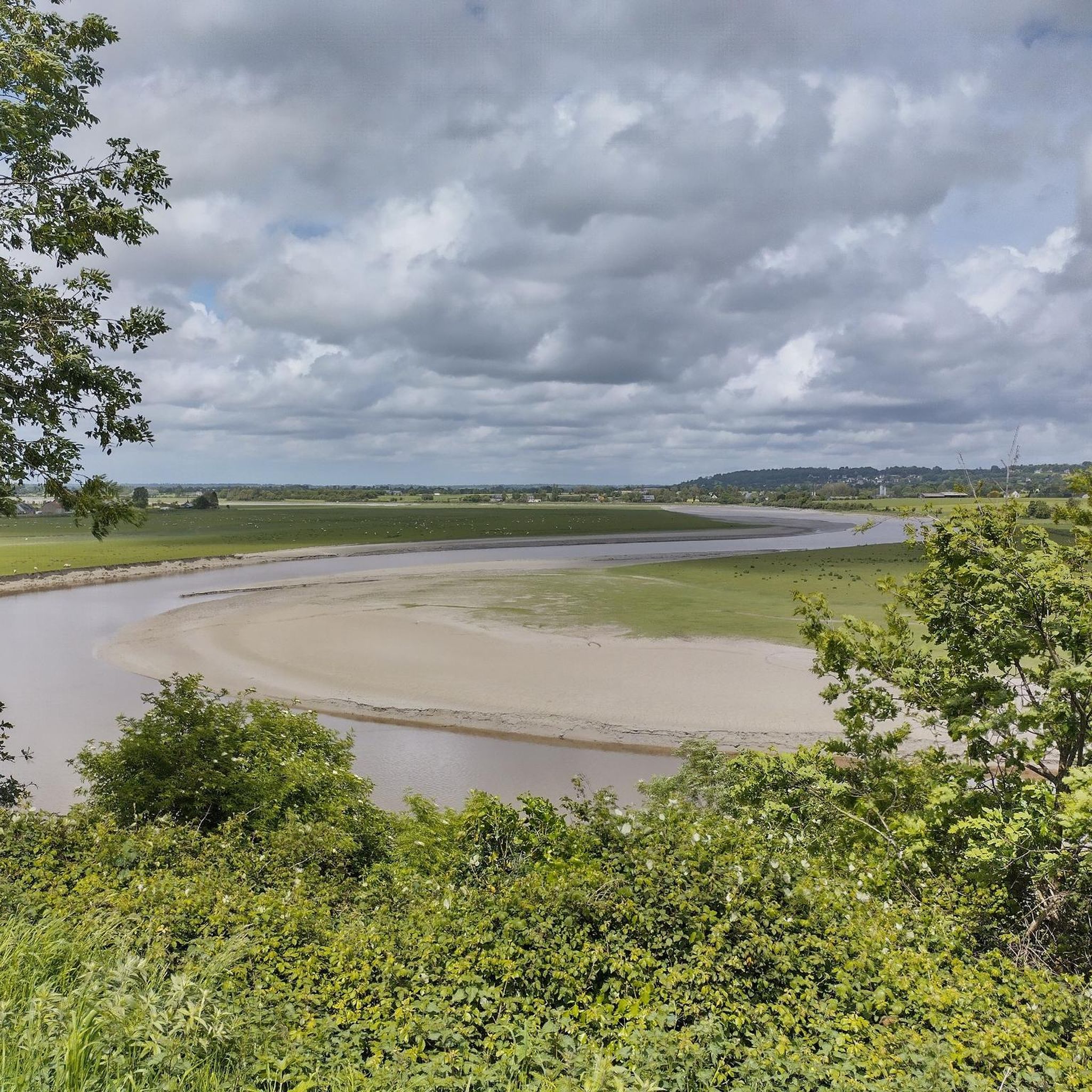
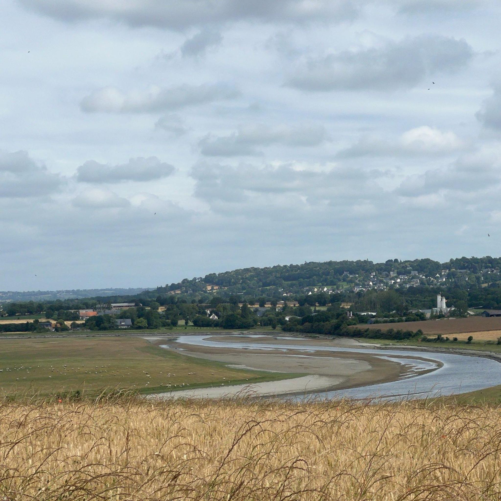
Mountain biking around Saint-Hilaire-Du-Harcouët in the Normandy region offers diverse terrain for cyclists. The area is characterized by the rolling hills and varied topography of the Sélune Valley, providing routes with elevation changes. Extensive cycling networks, including greenways and country roads, traverse the intimate countryside and natural settings. This landscape supports a range of mountain biking experiences, from leisurely rides to more challenging trails.
Best mountain bike trails in Saint-Hilaire-Du-Harcouët
- The most popular mountain bike trail is Belvedere – Portail…
Last updated: October 25, 2026
4.6
(5)
40
riders
65.2km
03:40
250m
250m
Moderate mountain bike ride. Good fitness required.
4.0
(2)
15
riders
47.2km
03:16
580m
580m
Moderate mountain bike ride. Good fitness required. Advanced riding skills necessary.

11
riders
46.1km
03:08
620m
620m
Moderate mountain bike ride. Good fitness required.
5.0
(3)
16
riders
39.8km
02:21
250m
250m
Moderate mountain bike ride. Good fitness required.
4.0
(3)
18
riders
59.7km
03:32
320m
320m
Moderate mountain bike ride. Good fitness required.
Get access to more routes and recommendations from other explorers.
Already have an account?
Our route recommendations are based on thousands of hikes, rides, and runs completed by other people on komoot.
Start today with a free account
Your next adventure awaits.

Tips from the Community

Mont-Saint-Michel is a world-famous rocky island and commune on the border between Normandy and Brittany in France. Crowned by a monumental, medieval Benedictine abbey, this architectural marvel has been a UNESCO World Heritage site since 1979. The bay of the mount is also known for Europe's strongest tides, with a tidal range of up to 14 meters.
2
0

The footpath along the Couesnon to the dam already offers an impressive view of Mont-Saint-Michel. From here, the path with an unobstructed view leads across the salt marshes and the bay, with the landmark of Normandy impressively rising against the wide landscape. Especially in calm weather and with changing light, atmospheric views emerge of Mont-Saint-Michel, the course of the Couesnon river, and the tide-shaped surroundings.
14
0
The Couesnon dam (Barrage du Couesnon) was completed in 2009 and is part of the measures to preserve the bay of Mont-Saint-Michel. The facility regulates the water flow of the Couesnon and supports the natural removal of sediments by the tides. This is intended to counteract the increasing silting up of the bay and preserve the special character of Mont-Saint-Michel as a tidal island. The dam also offers a popular viewpoint with a view of Mont-Saint-Michel and the surrounding salt marshes.
3
0

From there it looks the strongest !!!
2
0

If there's a remarkable site that's worth a detour, it's Mont St Michel!
2
0
The Jardin Public is centrally located in the city and extends over several terraces offering sweeping views of the old town and the Château de Fougères. Created in 1865, the park combines features of an English landscape garden, French garden architecture, and botanical design.
1
0
The Église Saint-Léonard was built in the 12th century and acquired its present form in the flamboyant Gothic style in the 15th and 16th centuries. During the French Revolution, the church was deprived of its sacred function, but in the 19th century, under architects such as Aristide Tourneux, it underwent extensive renovations, including a new main façade with a large rose window. Inside, 19th-century stained-glass windows depicting episodes from the life of Saint Léonard can be seen.
1
0
La Roche Torin is a prominent vantage point in the Bay of Mont Saint-Michel. This spot offers a unique view of the bay and is a popular destination for hikers and photographers, especially during strong tides (coefficient over 100). The tidal coefficient is the most important indicator for assessing the dynamics of the bay. A coefficient over 100 indicates spectacular tide conditions and a natural spectacle. Here in the Bay of Mont Saint-Michel, the highest tides in Europe occur, with a tidal range of up to 15 meters between high and low tide. Tidal range Mont Saint-Michel: https://tides4fishing.com/fr/basse-normandie/le-mont-saint-michel#_tidal_coefficient
1
0
Frequently Asked Questions
What kind of terrain can I expect on mountain bike trails in Saint-Hilaire-Du-Harcouët?
The region around Saint-Hilaire-Du-Harcouët, particularly the Sélune Valley, offers diverse terrain. You'll encounter rolling hills, which provide varied elevation changes, alongside tranquil greenways and scenic country roads. Some areas feature a more "tormented relief" with notable climbs and descents, while others, like sections of the Véloscénie, are flatter and shaded, ideal for less technical riding.
What is the overall difficulty level of mountain biking in this region?
Mountain biking around Saint-Hilaire-Du-Harcouët caters to various skill levels. Out of 30 available routes, 4 are considered easy, 24 are moderate, and 2 are difficult. This means you can find everything from leisurely rides on greenways to more challenging trails with significant elevation gain, requiring good fitness and advanced riding skills.
Are there any circular mountain bike routes in Saint-Hilaire-Du-Harcouët?
Yes, many routes in the area are designed as loops. For example, you can explore the Mountainbike loop from Parigny, a moderate 47 km path, or the Old railway station loop from Parigny, which is 46.2 km long. Another option is the Voie verte de la Véloscénie – Ducey loop from Parigny, a moderate 39.8 km route.
Are there family-friendly mountain bike trails in Saint-Hilaire-Du-Harcouët?
Yes, the region offers options suitable for families. The extensive network of greenways (voies vertes), such as sections of La Véloscénie, provides flat, shaded, and traffic-free paths perfect for leisurely family rides. Some local circuits are specifically designed as "Petit Circuit Famille VTT" with minimal elevation, ensuring an enjoyable experience for all ages.
Are mountain bike trails in Saint-Hilaire-Du-Harcouët dog-friendly?
Many of the greenways and country roads in the Saint-Hilaire-Du-Harcouët area are generally dog-friendly, especially if your dog is well-behaved and kept on a leash. However, it's always advisable to check local signage or specific route descriptions for any restrictions, particularly in nature reserves or private land sections.
What natural features or landmarks can I see while mountain biking near Saint-Hilaire-Du-Harcouët?
While mountain biking, you can experience the picturesque Sélune Valley with its rolling hills and river. Notable landmarks and features include the Montgommery Castle, the charming settlement of Ducey, and the historic Old railway station. You'll also ride along significant cycling networks like the Voie verte de la Véloscénie and The Vélocéane Cycle Route.
Is parking available at the trailheads in Saint-Hilaire-Du-Harcouët?
While specific trailhead parking isn't always explicitly marked, Saint-Hilaire-Du-Harcouët and surrounding villages typically offer public parking areas. For routes starting from towns like Parigny or Les Biards, you can usually find parking within the village centers or near local amenities, providing convenient access to the trails.
Can I access mountain bike trails using public transport in Saint-Hilaire-Du-Harcouët?
Public transport options in rural Normandy, including Saint-Hilaire-Du-Harcouët, are generally limited compared to urban areas. While some bus services connect towns, direct access to specific trailheads via public transport with a bike might be challenging. It's often more practical to use a car to reach your desired starting point, especially for routes further afield.
What do other mountain bikers enjoy the most about mountain biking in Saint-Hilaire-Du-Harcouët?
The mountain bike trails around Saint-Hilaire-Du-Harcouët are highly rated by the komoot community, with an average score of 4.2 stars from over 30 reviews. Riders often praise the varied terrain, which includes rolling hills, greenways, and country roads, offering options for different ability levels. The scenic beauty of the Sélune Valley and the well-maintained paths are frequently highlighted.
Are there any long-distance cycling routes that pass through Saint-Hilaire-Du-Harcouët suitable for mountain biking?
Yes, Saint-Hilaire-Du-Harcouët is a key point on several major cycling routes. The renowned La Véloscénie, connecting Paris to Mont-Saint-Michel, includes sections of greenways and forest tracks suitable for mountain biking. The Vélowestnormandy route also utilizes greenways and country roads, offering further long-distance exploration opportunities.
What is the longest mountain bike trail available in the area?
One of the longer routes you can tackle is the Belvedere – Portail loop from Les Biards. This moderate trail spans 66.4 km (41.2 miles) and typically takes around 3 hours and 46 minutes to complete, exploring the varied terrain around Les Biards.
Most popular routes around Saint-Hilaire-Du-Harcouët
Most popular attractions around Saint-Hilaire-Du-Harcouët

Get inspired with the komoot mobile app


Explore more
Browse the best MTB trails in other regions.
