The best mountain hikes around Gelsenkirchen
5.0
(1)
7
hikers
5
hikes
Mountaineering routes around Gelsenkirchen traverse a landscape characterized by urban green spaces, reclaimed industrial areas, and scenic waterways within the Ruhr Region. The terrain primarily consists of rolling hills, parks, and elevated slag heaps offering panoramic views. This area provides accessible outdoor experiences, with routes often winding through wooded sections and alongside lakes.
Best mountaineering routes around Gelsenkirchen
- The most popular mountaineering route is View of Kemnader See – Heveney Harbor loop from Brenscheder Straße, a 9.1 miles (14.7…
Last updated: July 6, 2026
1
hikers
14.8km
04:04
250m
250m
Moderate mountaineering route. Good fitness required. Easily-accessible paths. Suitable for all skill levels.
5.0
(1)
1
hikers
11.4km
03:04
150m
150m
Moderate mountaineering route. Good fitness required. Easily-accessible paths. Suitable for all skill levels.

Sign up for free
1
hikers
7.40km
01:57
70m
70m
Easy mountaineering route. Great for any fitness level. Easily-accessible paths. Suitable for all skill levels.
3
hikers
8.75km
02:27
160m
160m
Moderate mountaineering route. Good fitness required. Easily-accessible paths. Suitable for all skill levels.
1
hikers
10.4km
02:53
190m
190m
Moderate mountaineering route. Good fitness required. Easily-accessible paths. Suitable for all skill levels.
Our route recommendations are based on thousands of hikes, rides, and runs completed by other people on komoot.
Start today with a free account
Your next adventure awaits.
Login or Signup
Popular around Gelsenkirchen
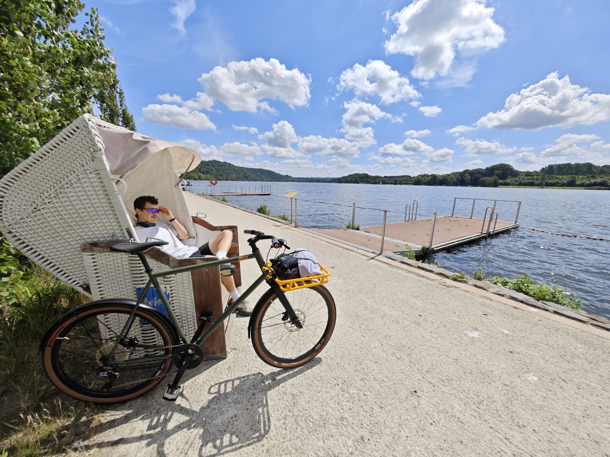
Industrial culture and the green Ruhr valley – cycling in Essen
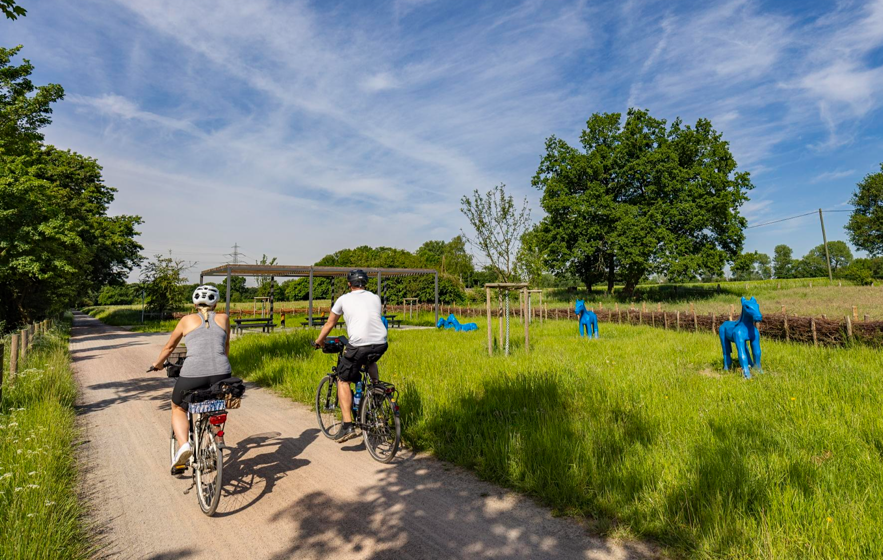
Healthy cycling on Germany’s Emscher River
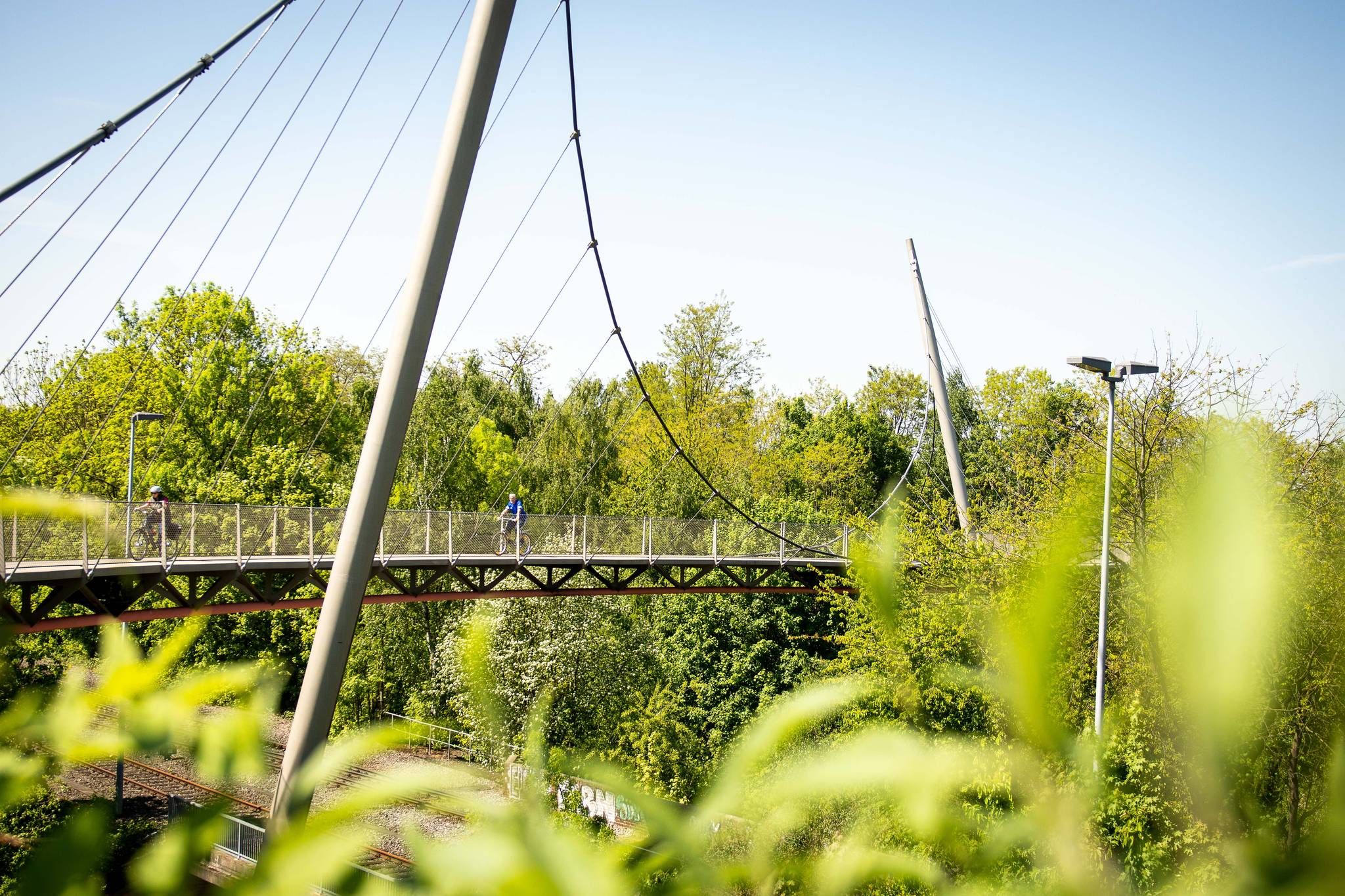
The most beautiful railway cycle paths in the Ruhr area (north/northeast)
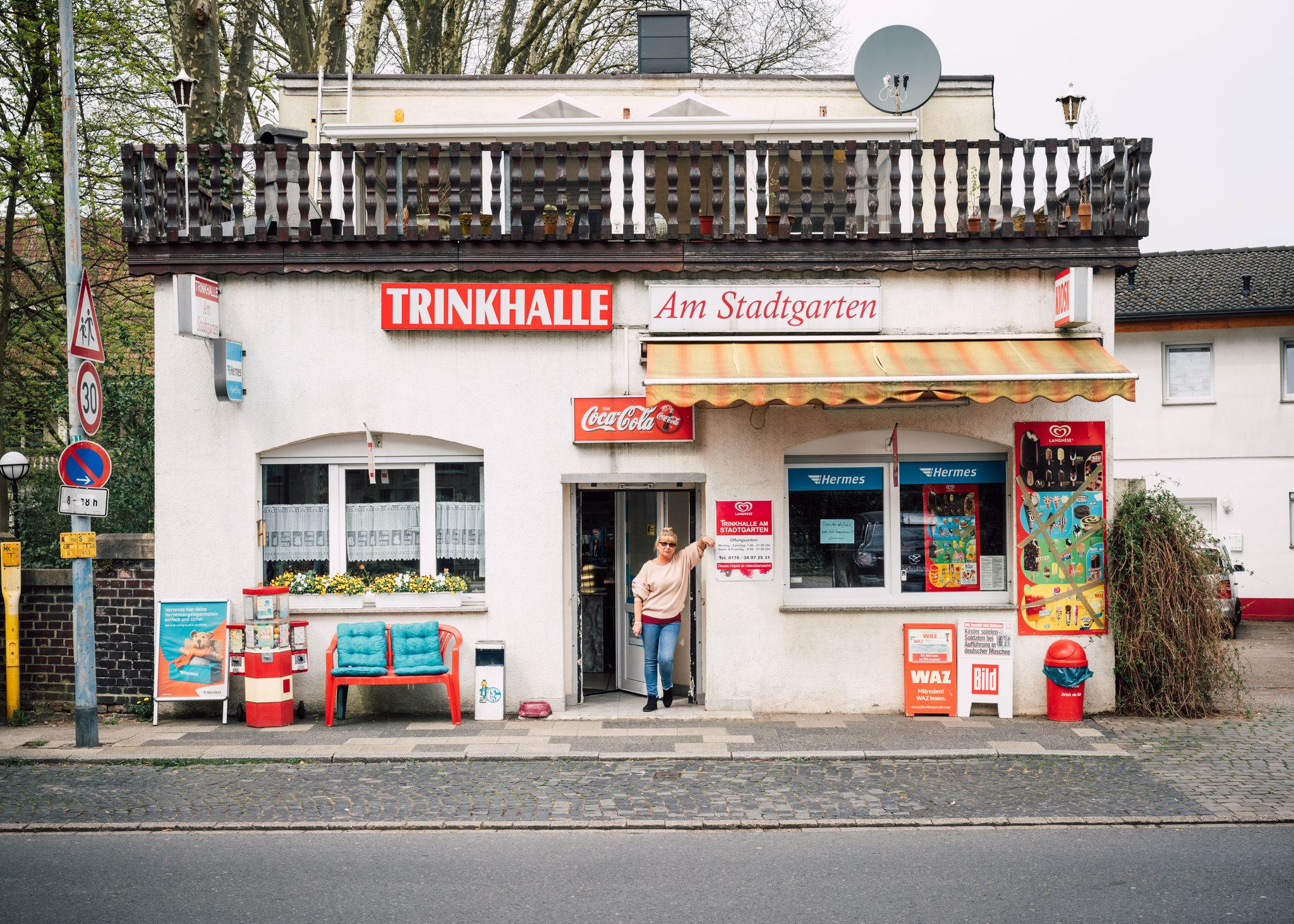
Tour de Trinkhalle: The 19 most iconic kiosks in the Ruhr area
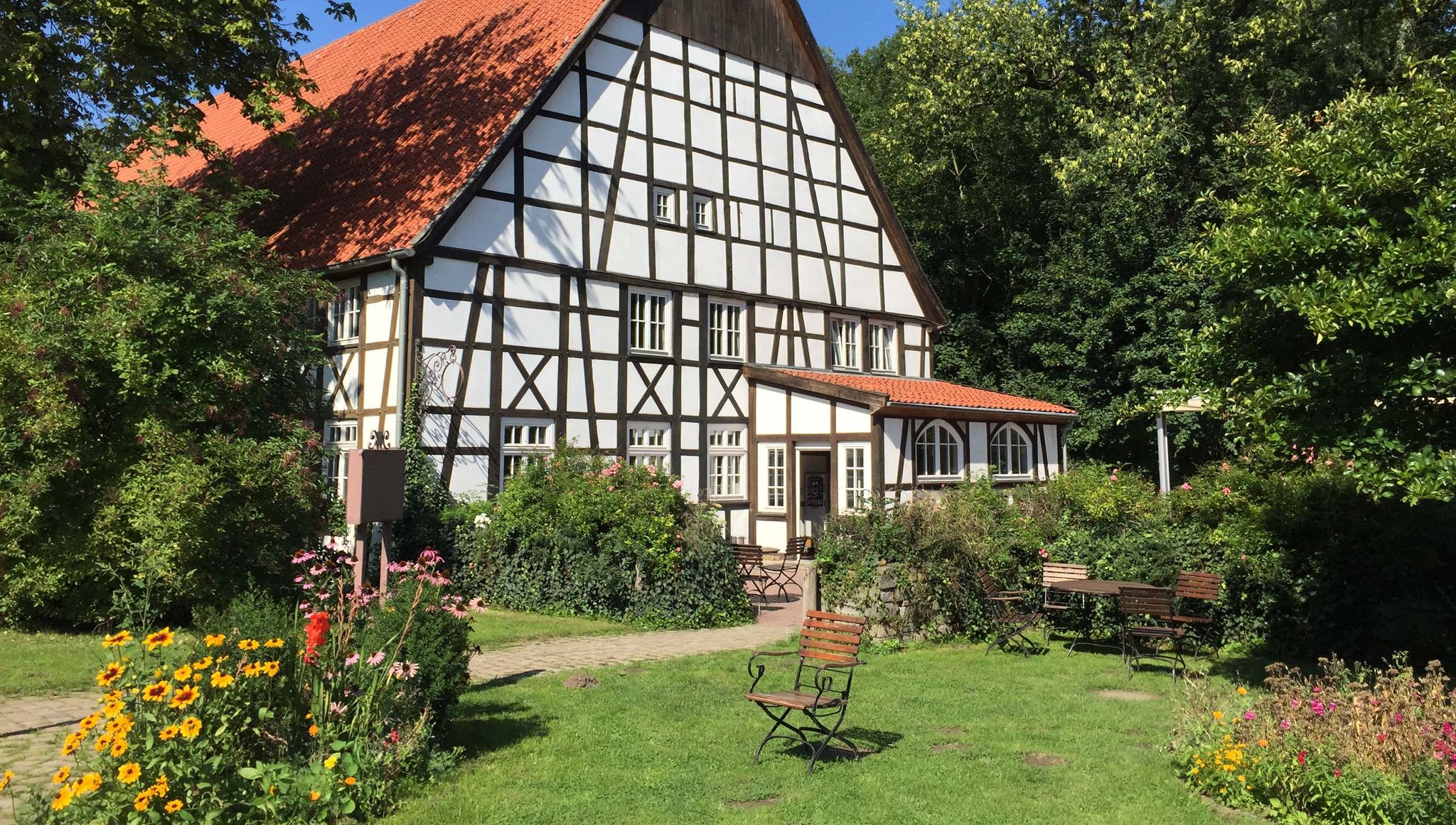
Seven road rides into Germany’s Ruhr countryside — by bike to the organic farm
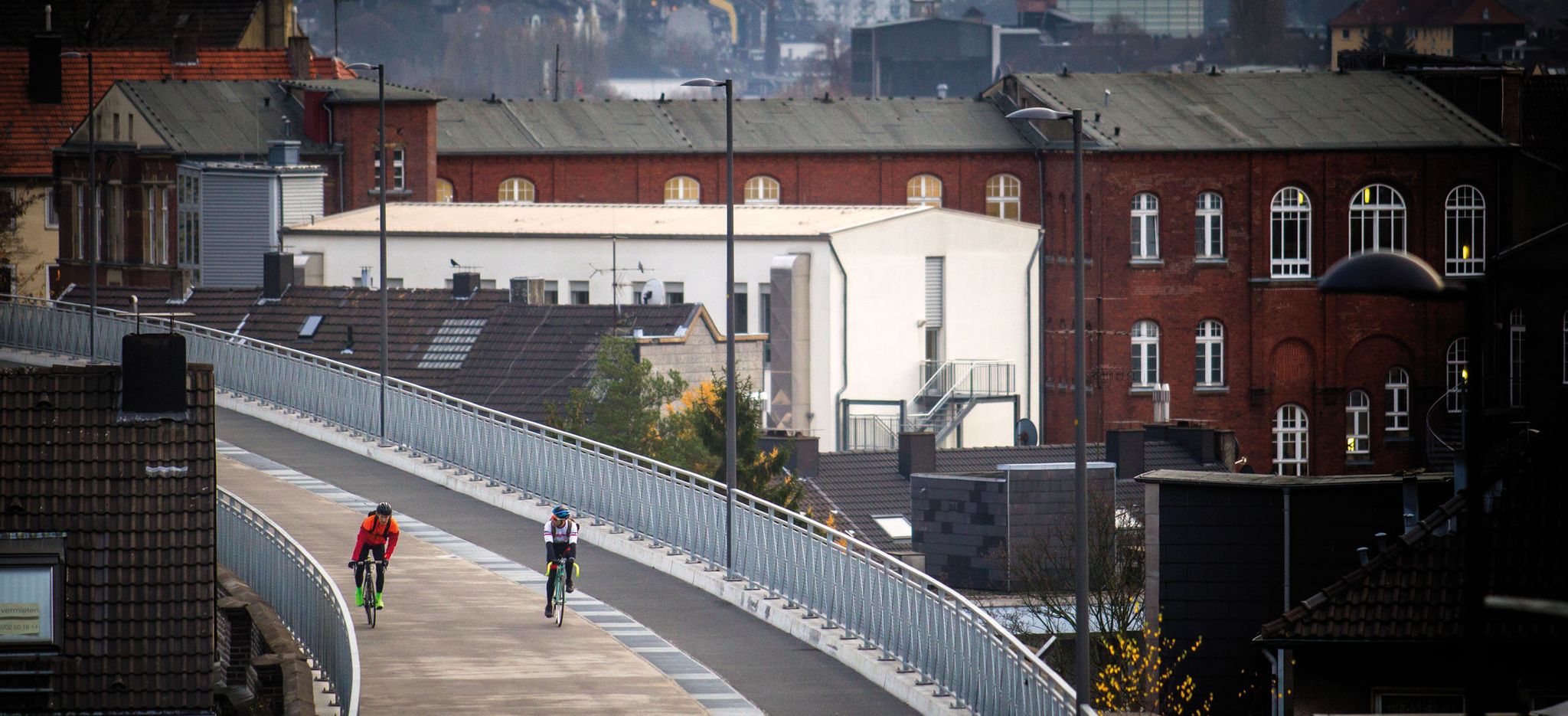
The most beautiful rail trails – cycle paths in the Ruhr area
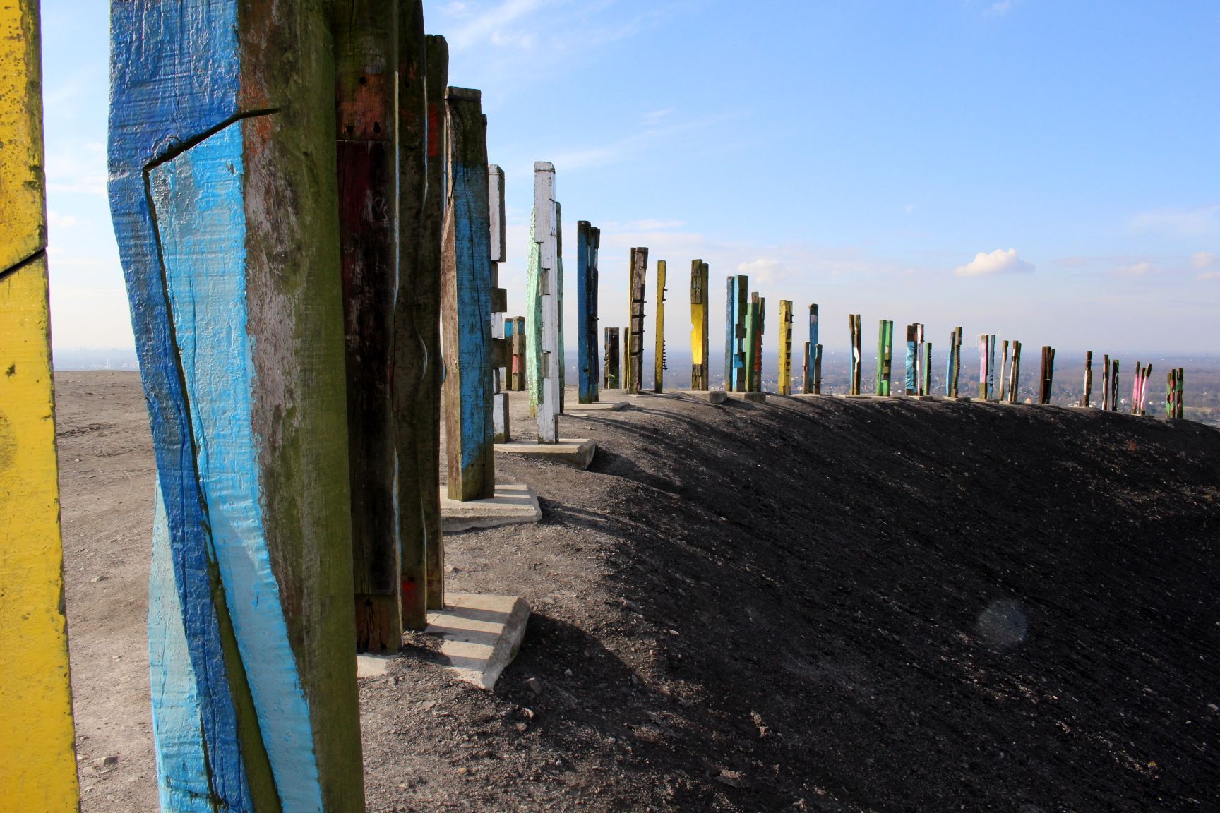
Biking on spoil tips in the Ruhr Region
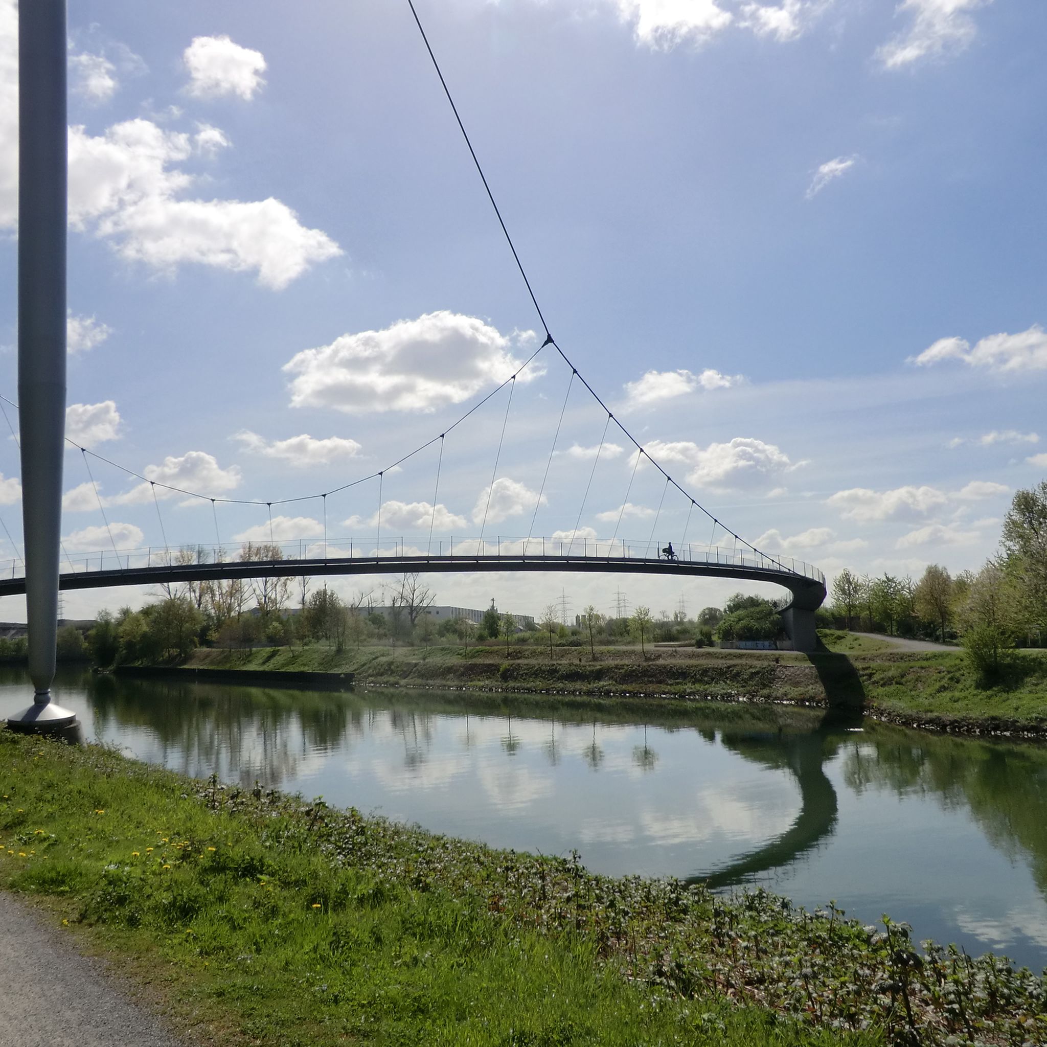
Cycling around Gelsenkirchen
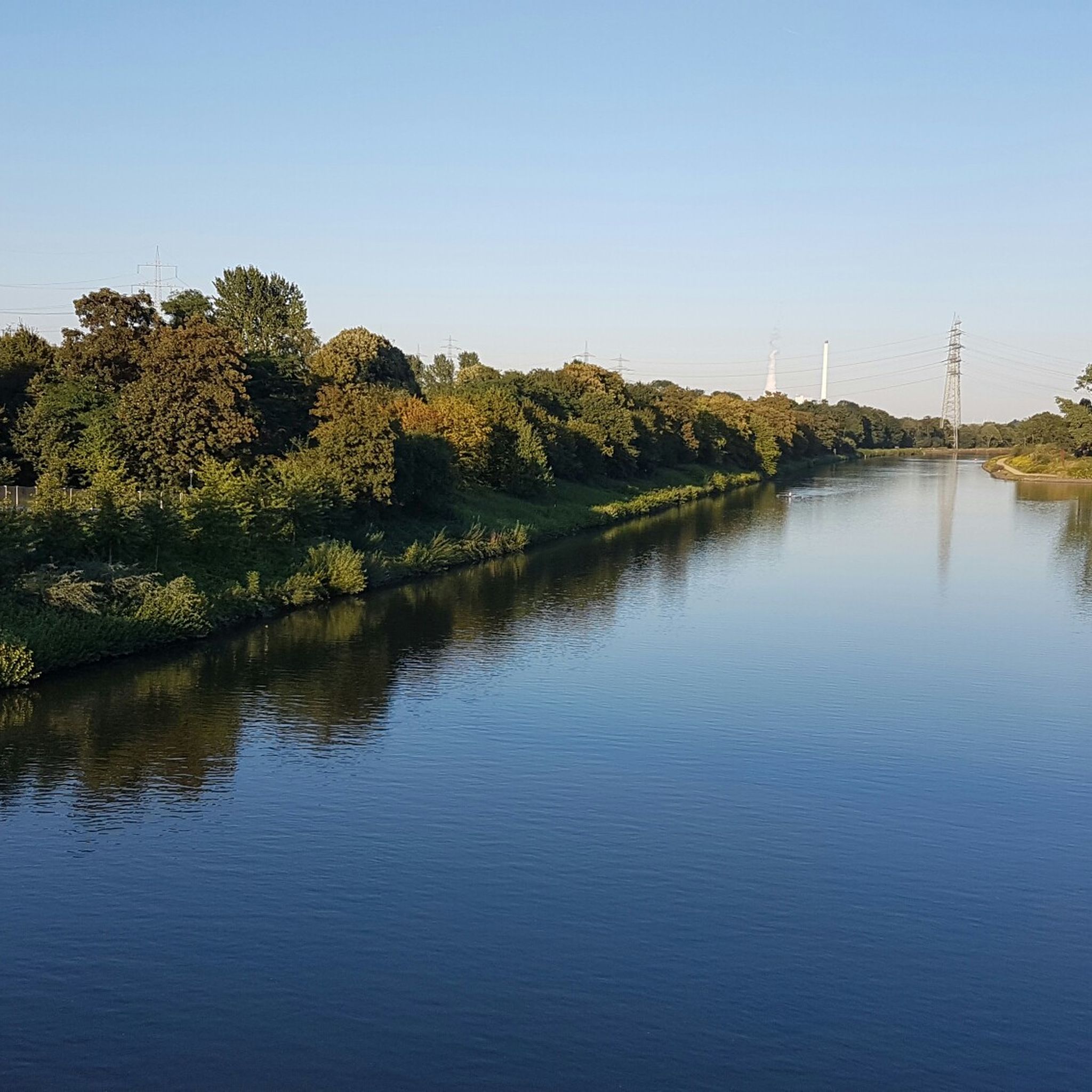
Hiking around Gelsenkirchen
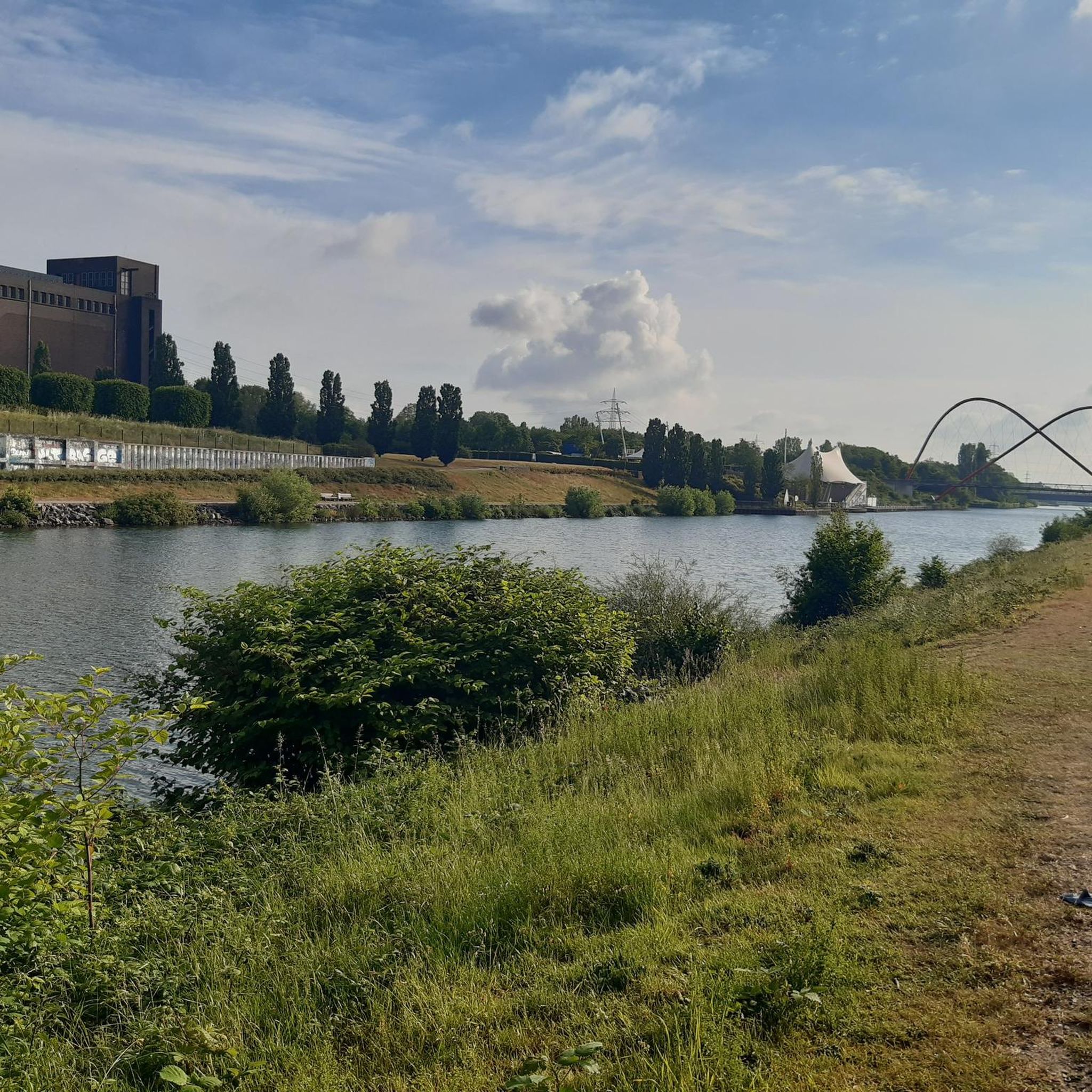
Road Cycling Routes around Gelsenkirchen
Other adventures around Gelsenkirchen


Tips from the Community

Beautiful little chapel. Pleasant to look at.
0
0

"About 40 meters above the Ruhr River, the historic Steele City Garden invites visitors to stroll and relax on its 4.2 hectares – and, of course, to enjoy the view of the Ruhr Valley. On the opposite bank of the river lies the Überruhr-Hinsel district with its 'House Under the Rainbow,' a facility for assisted living on the Gewalterberg hill. Downstream, the Spillenburg weir can be seen. In this 204-hectare drinking water catchment area, 50 million cubic meters of water are extracted annually. The light blue swimming pool below the City Garden belongs to the Steele 11 swimming club, which has been welcoming swimmers and bathers here since 1911." https://www.essen.de/dasistessen/leben_im_gruenen_/aktiv_im_gruenen/essener_aussichten_.de.html
1
0

The Catholic St. Anne's Chapel is a listed church building in Essen-Rellinghausen. Its history dates back to the early 16th century. The previous building was an expiatory chapel built in 1516. [...] Restoration work from 1973 to 1975 provided valuable insights into the chronology and the changes made. In 1985, the chapel was listed as a historical monument. To this day, every July 25th, the name day of St. Anne, a procession takes place to commemorate the desecration of the sacrament by the theft of the host. It leads from the St. Anne's Chapel to the Collegiate Church of St. Lambertus. Source and further information: https://de.wikipedia.org/wiki/St.-Anna-Kapelle_(Rellinghausen)
1
0

Unfortunately closed today but looks nice
0
0

One of the highest points in the Ruhr area: Hoheward slag heap with its observatory and obelisk that displays the true local time.
1
0

The ship's pier with restaurants in the immediate vicinity.
0
0

Also stop off as a hiker
0
0

A wonderful route during the week, especially in the morning or at sunset. You should avoid weekends, especially when the weather is nice. The trails are crowded then.
0
0
Frequently Asked Questions
Are there easy mountaineering routes suitable for beginners in Gelsenkirchen?
Yes, Gelsenkirchen offers several easy routes perfect for beginners. For example, the Surish Soni – Siepental Park loop from Bergerhausen is an easy 4.6-mile (7.4 km) trail that takes about 2 hours to complete, winding through Siepental Park.
Can families with children enjoy mountaineering in Gelsenkirchen?
Absolutely. Many routes in Gelsenkirchen are suitable for families, featuring gentle ascents and well-maintained paths through parks and green spaces. The Surish Soni – Siepental Park loop from Bergerhausen is a great option for a family outing.
Are the mountaineering trails around Gelsenkirchen dog-friendly?
Generally, yes. The routes often traverse urban green spaces and parks where dogs are welcome, usually on a leash. Always check local regulations for specific areas, but trails like the Ludwig Kessing Park loop from Steele are popular with dog walkers.
Are there circular mountaineering routes available in the Gelsenkirchen area?
Yes, many of the mountaineering routes around Gelsenkirchen are designed as circular loops, allowing you to start and end at the same point. Examples include the View of Kemnader See – Heveney Harbor loop from Brenscheder Straße and the View from Hoheward Slag Heap – Sundial Obelisk with View loop from NSG Hertener Emscherbruch.
What is the typical length and duration of mountaineering routes around Gelsenkirchen?
The routes vary in length and duration. You can find shorter walks like the 4.6-mile (7.4 km) Surish Soni – Siepental Park loop from Bergerhausen, which takes about 2 hours, up to longer trails such as the 9.1-mile (14.7 km) View of Kemnader See – Heveney Harbor loop from Brenscheder Straße, typically completed in just over 4 hours.
When is the best time of year to go mountaineering in Gelsenkirchen?
The best time for mountaineering in Gelsenkirchen is generally from spring through autumn (April to October), when the weather is mild and the parks are in full bloom. However, the well-maintained paths also offer pleasant experiences during drier winter days.
Are there options for winter mountaineering or hiking in Gelsenkirchen?
While Gelsenkirchen doesn't offer traditional alpine mountaineering, many of its park trails and elevated slag heaps are accessible for winter hiking, especially on clear, dry days. Always check weather conditions and trail surfaces for ice or snow before heading out.
What kind of scenic viewpoints or attractions can I expect along the routes?
Gelsenkirchen's routes offer unique views, often from reclaimed industrial sites. You can expect panoramic vistas from elevated slag heaps like the Rheinelbe spoil heap or the Halde Rungenberg Summit. Some routes also pass by lakes such as Ewald Lake or offer views of the Kemnader See.
What do other mountaineers enjoy the most about mountaineering in Gelsenkirchen?
The komoot community highly rates the mountaineering routes in Gelsenkirchen, with an average score of 5.0 stars. Reviewers often praise the unique blend of urban green spaces, the surprising panoramic views from former industrial sites, and the accessibility of the trails for various fitness levels.
Are there any cafes or refreshment stops near the mountaineering trails?
Given the urban and semi-urban nature of Gelsenkirchen's routes, you'll often find cafes, restaurants, or kiosks in nearby towns or within larger parks. For instance, routes around Kemnader See or Ludwig Kessing Park have amenities within reasonable reach.
What should I pack for a mountaineering trip in Gelsenkirchen?
For mountaineering in Gelsenkirchen, comfortable walking shoes are essential. Depending on the weather, bring layers of clothing, rain gear, and sufficient water. While not high-alpine, some routes involve moderate ascents, so a small backpack for essentials is advisable.
How many mountaineering routes are available around Gelsenkirchen?
There are several mountaineering routes available around Gelsenkirchen, with komoot featuring over 5 distinct tours. These range from easy park walks to moderate ascents up elevated slag heaps, providing diverse options for exploration.
Most popular routes around Gelsenkirchen
Most popular attractions around Gelsenkirchen

Get inspired with the komoot mobile app


Explore more
Browse the best Mountain Hikes & Routes in other regions.
