Top 12 Mountain Passes around Crêts-En-Belledonne
Best mountain passes around Crêts-En-Belledonne are situated within the Belledonne mountain range, a massif known for its rugged peaks and diverse alpine environments. This region offers a variety of mountain passes, from high-altitude crossings to lower-elevation routes popular with cyclists. The area provides access to significant natural features and serves as a gateway to the broader Belledonne massif. It is characterized by varied landscapes, including forests, meadows, and limestone cliffs.
Best mountain passes around Crêts-En-Belledonne
- The most popular mountain passes…
Last updated: October 13, 2026
Aulp du Seuil Pass
Highlight • Mountain Pass
Translated by Google •
Tip by

Bellefont Pass
Highlight • Mountain Pass
Translated by Google •
Tip by

Sign up now to discover places like this
Get recommendations on the best single tracks, peaks, & plenty of other exciting outdoor places.
Col du Barrioz
Highlight • Mountain Pass
Translated by Google •
Tip by

Marcieu Pass
Highlight • Mountain Pass
Translated by Google •
Tip by

Pas des Barres
Highlight • Mountain Pass
Translated by Google •
Tip by
Sign up for free to discover even more mountain passes around Crêts-En-Belledonne.
Already have an account?
Start today with a free account
Your next adventure awaits.
Popular around Crêts-En-Belledonne

Road to Lisbon – bikepacking the Alps, Pyrenees and Picos de Europa
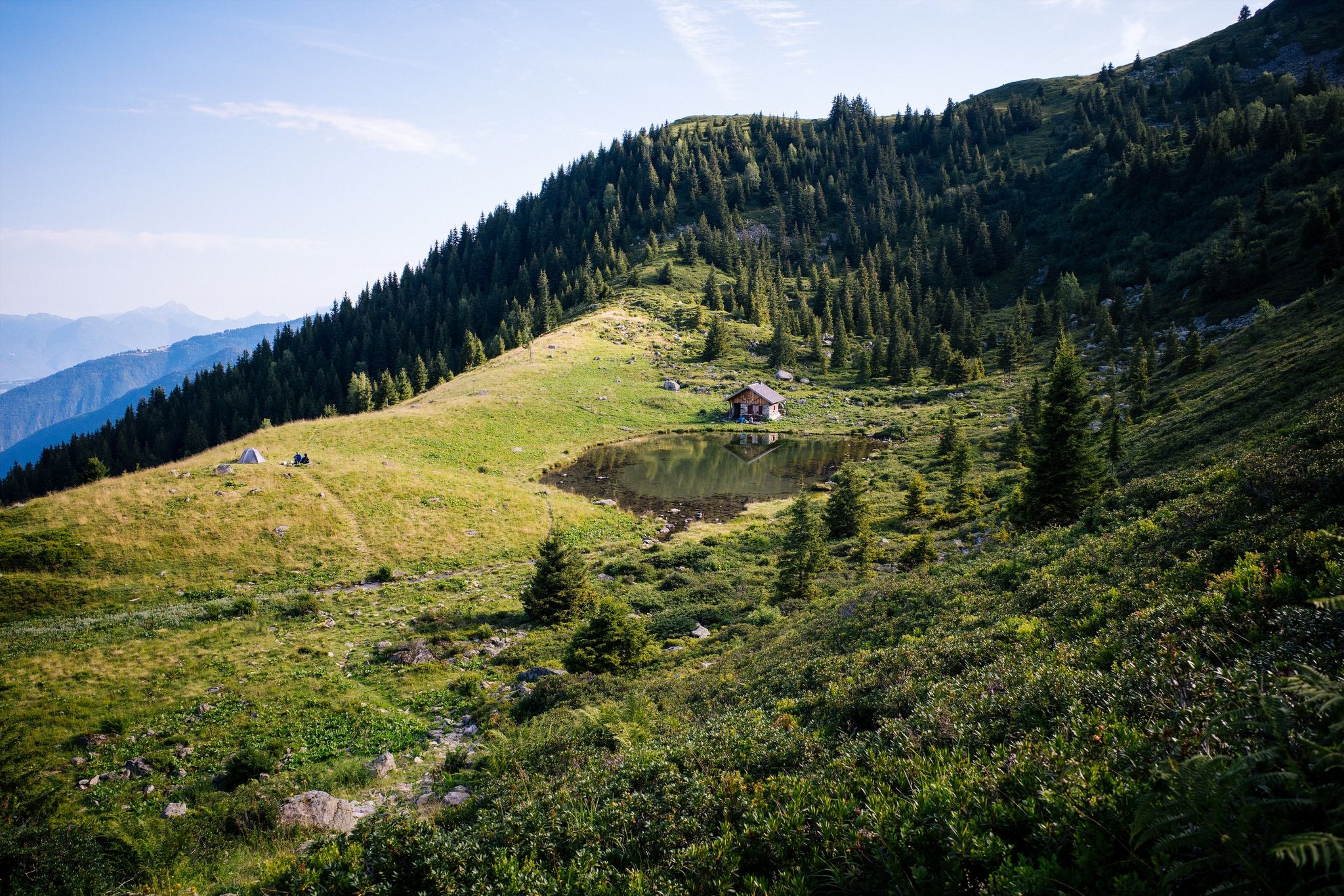
Hiking along French ridges – Le Tour du Pays d'Allevard
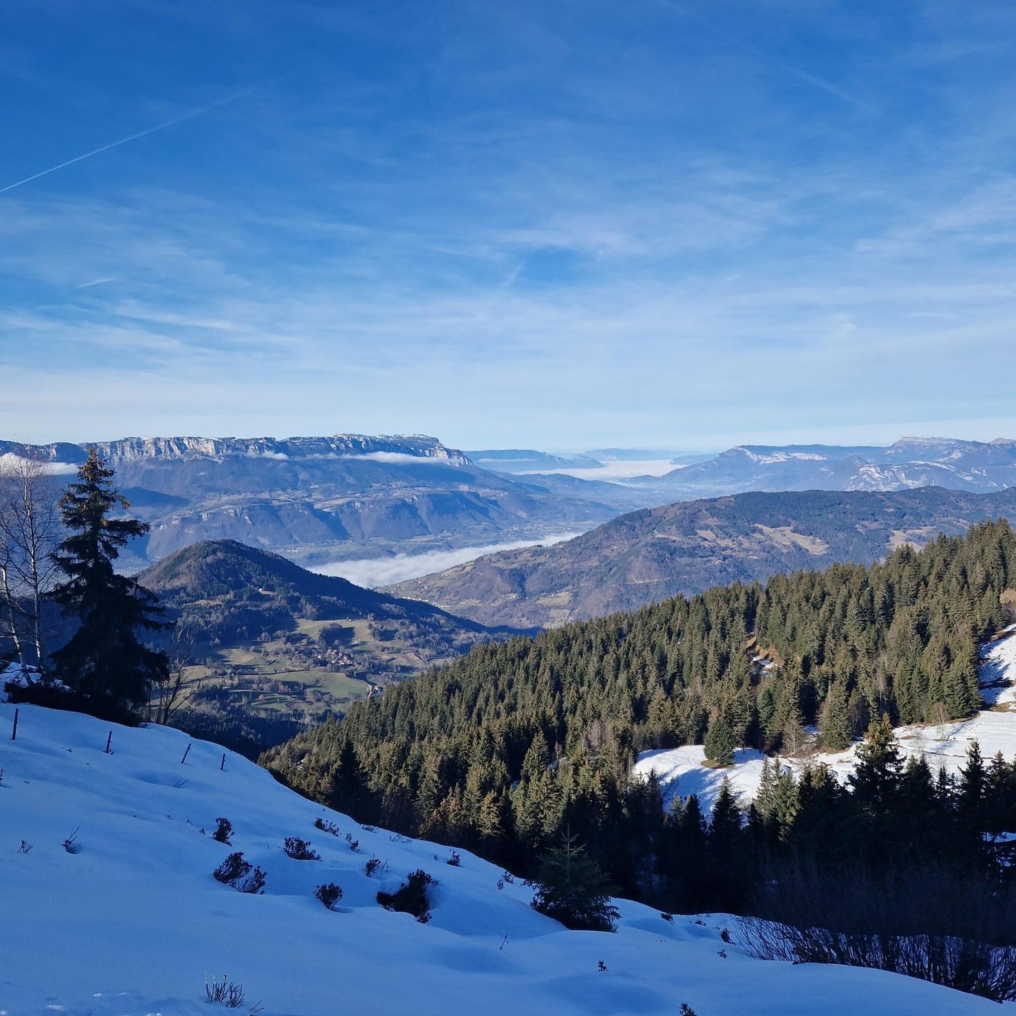
Hiking around Crêts-En-Belledonne
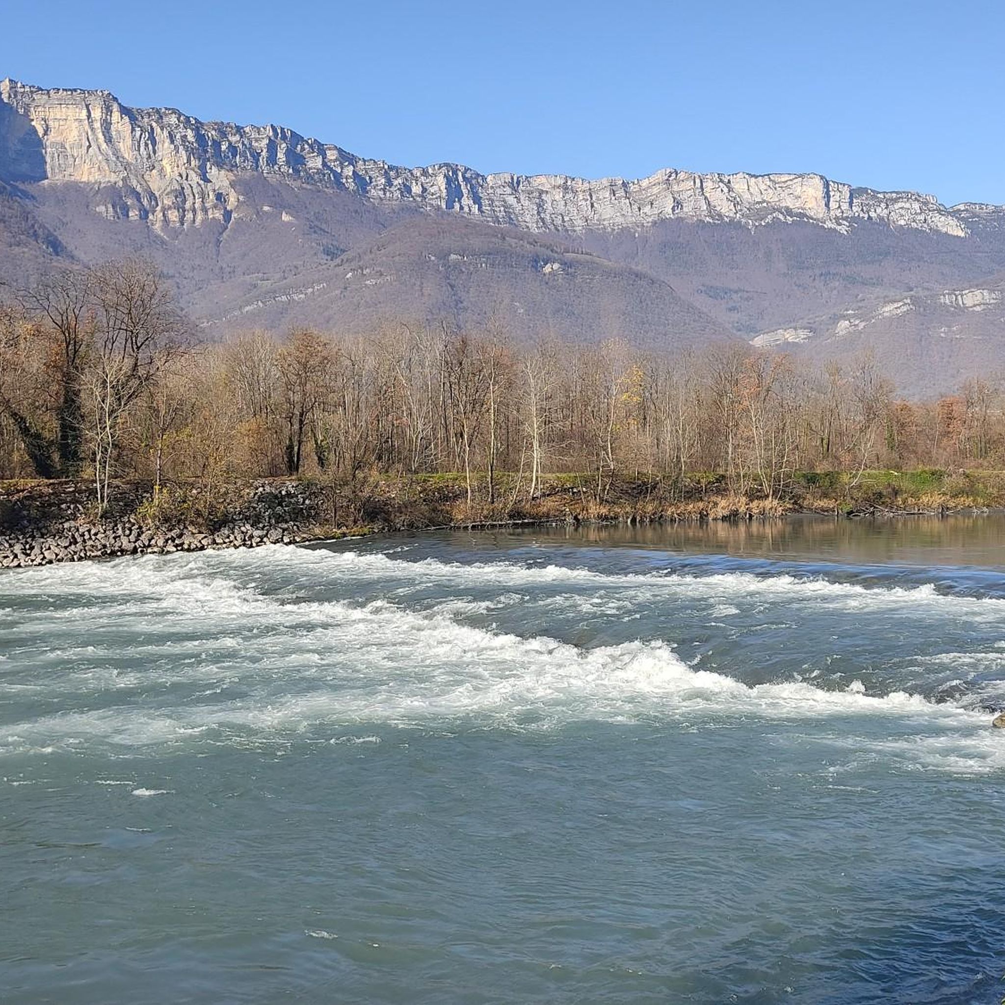
Running Trails around Crêts-En-Belledonne
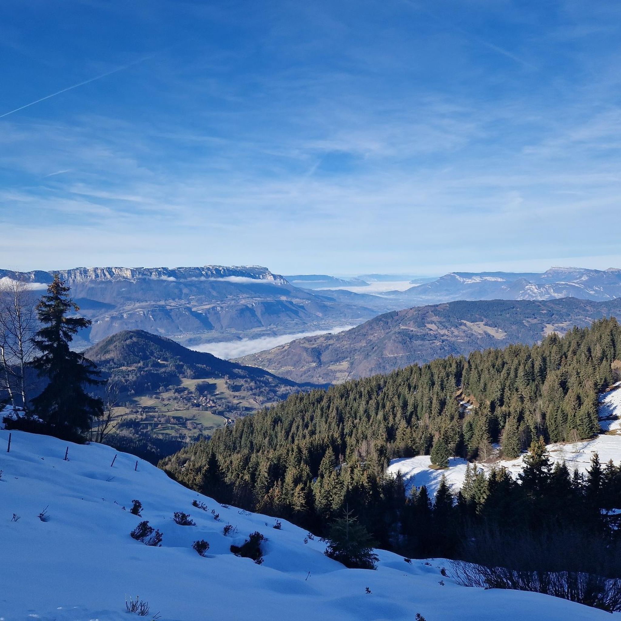
MTB Trails around Crêts-En-Belledonne
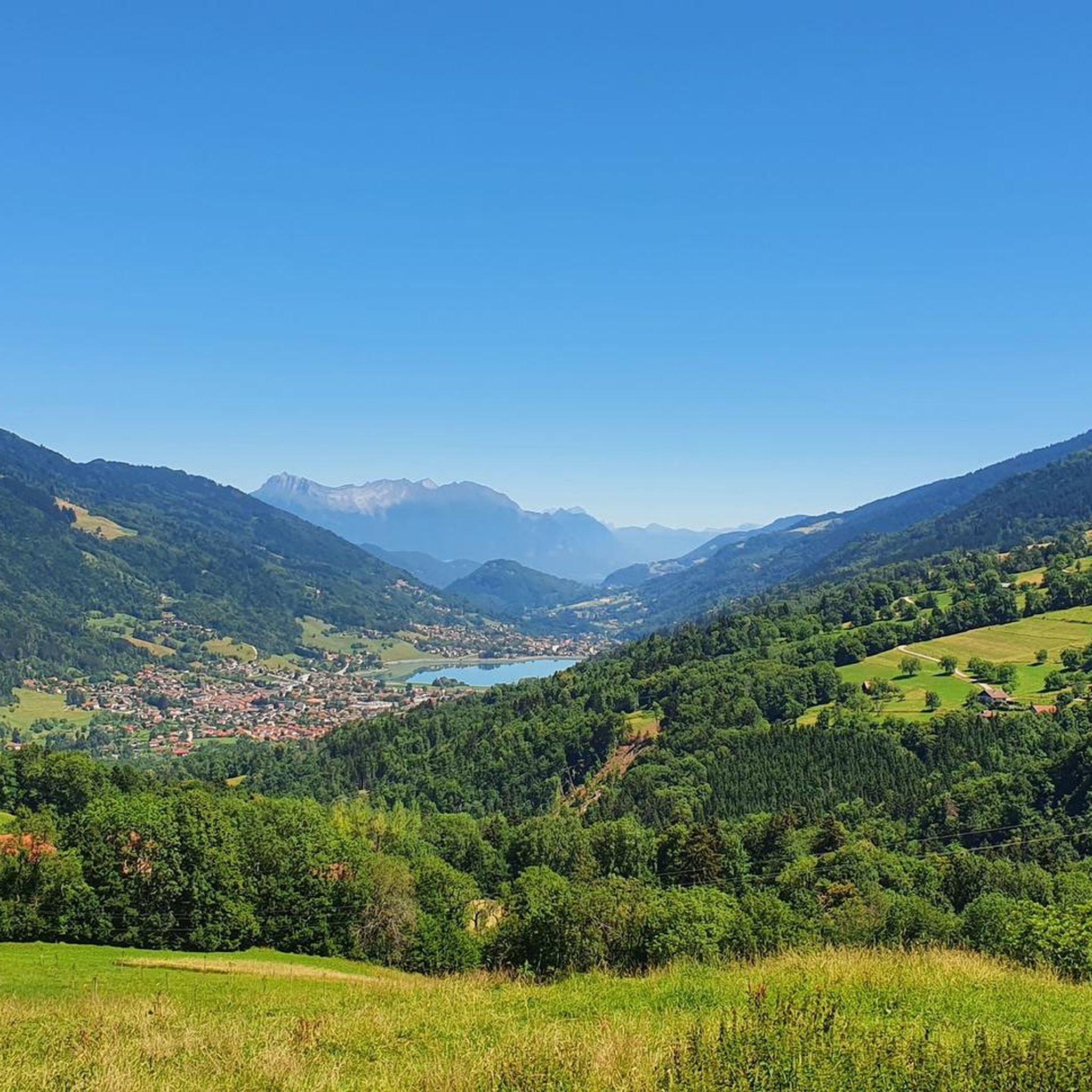
Cycling around Crêts-En-Belledonne

Mountain Hikes around Crêts-En-Belledonne
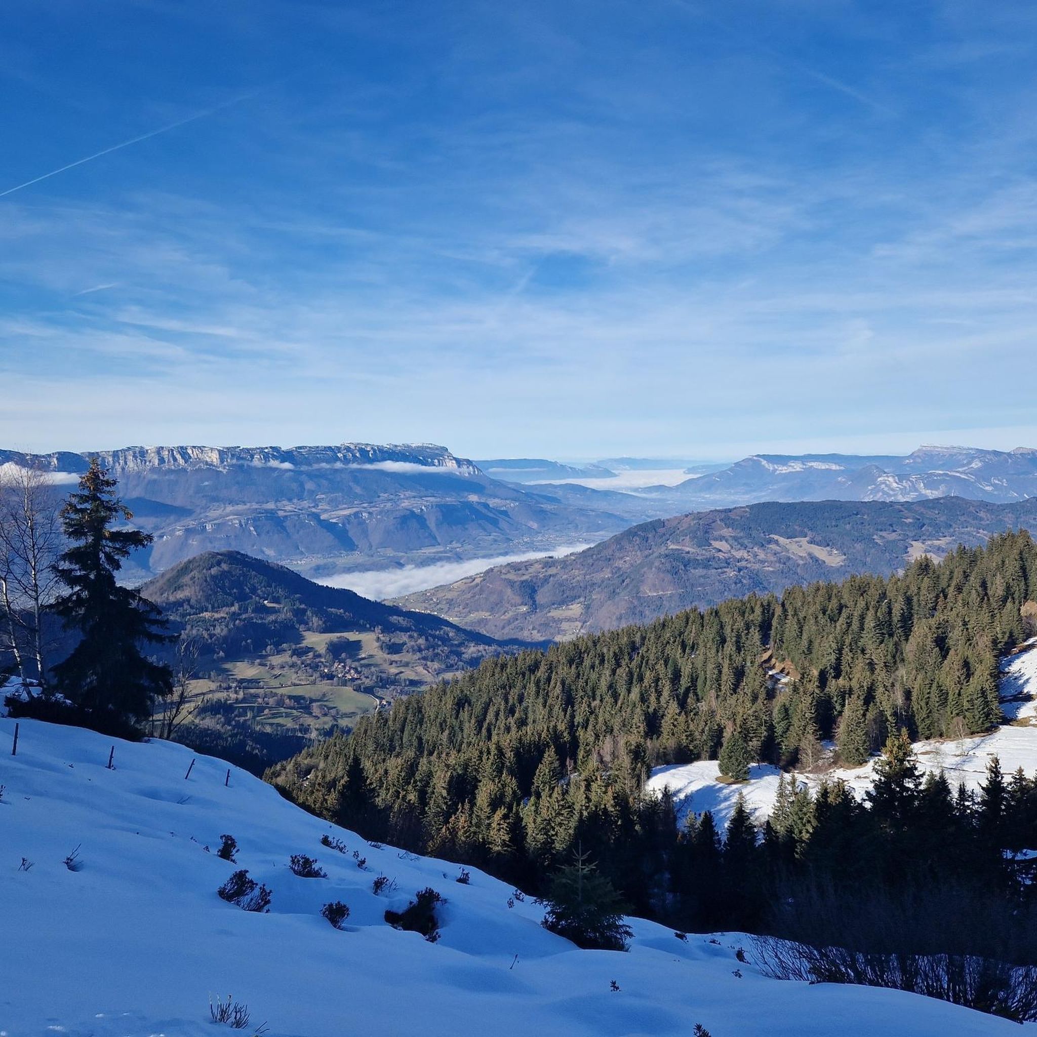
Road Cycling Routes around Crêts-En-Belledonne
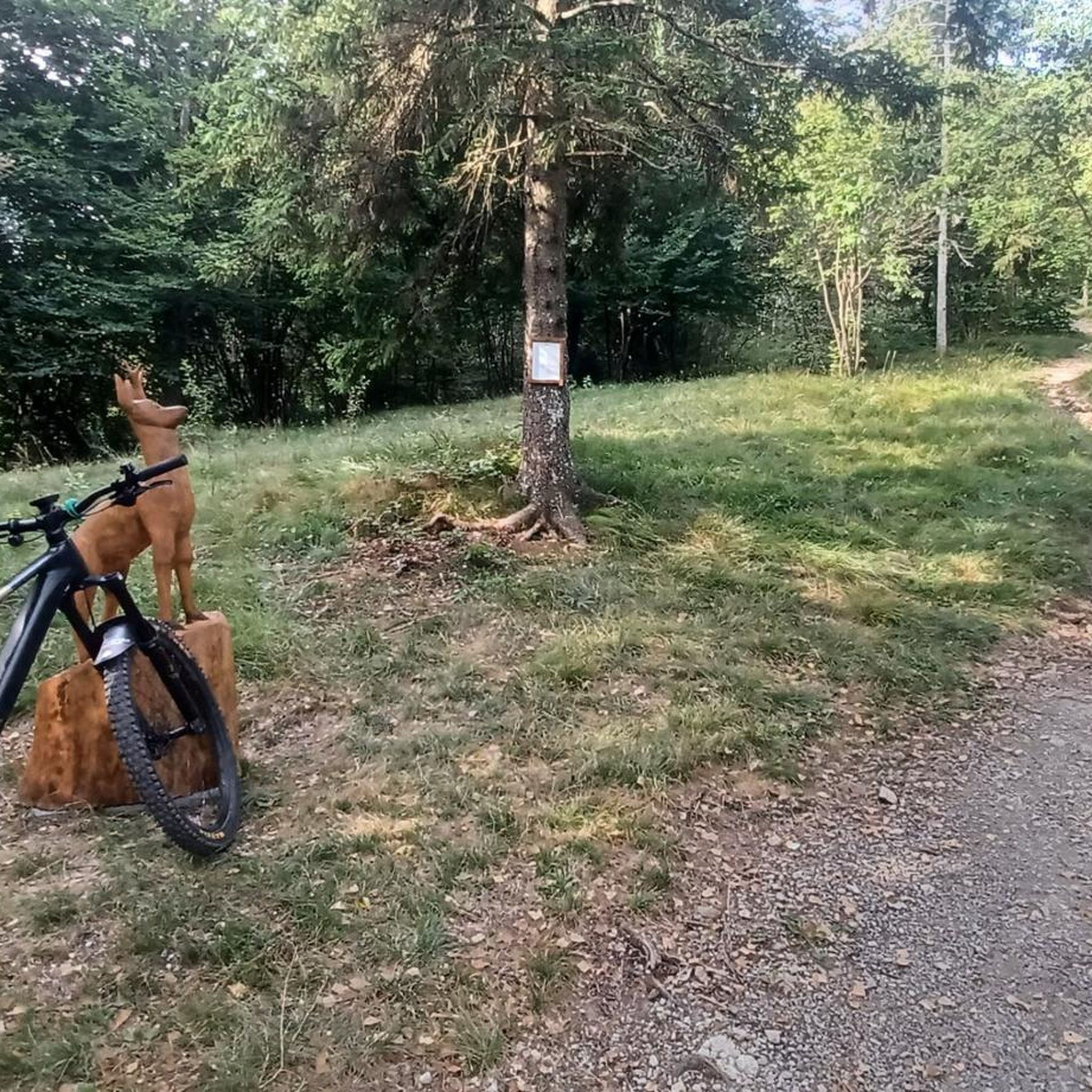
Gravel biking around Crêts-En-Belledonne


Tips from the Community

The cross of the Aulp du seuil is located at 1825m above the cirque and marks the entrance to the high plateaus.
0
0

Warning: This section is very technical for about fifteen meters. There are metal ladders, bars, and lifelines. Experience in climbing or via ferrata is required for safety. Personally, there were three of us with rucksacks weighing 10, 12, and 15 kilos respectively, and we had to make three round trips, carrying each bag together (one holding it from above, the other from below). With a fair amount of experience, this was accomplished without any problems, but we had to take our time and reassure one of us, for whom the section was particularly technical. We did it downhill and in very light rain, which didn't help. It took us about 20/30 minutes for our three return trips. Very technical descent, probably easier ascent. → Photos for illustration purposes only, not contractual.
0
0
Climb to the Col du Barioz via Les Fontaines and Le Charpieux. A technical climb after Les Perrins requires vigilance and some pushing. Please note: Passage after Les Perrins may be blocked during the summer by an electric sheep fence.
0
0

Beautiful pass. Relatively steep climbs from the valley. There are rest stops at the top.
0
0

Great hike! Make sure you have good shoes with crampons because some slopes are a bit slippery. Magnificent view at the top.
0
0
on private property, with no-entry signs, especially at hunting time
0
0

Col du Barrioz is a climb in the Grenoble region. It has a length of 13.6 kilometers and a climb of 818 vertical meters with a slope of 6% on average, which implies a difficulty level of 614. The top of the climb is located at 1052 m. From this Col you can go up to the Crêt du Poulet refuge
0
0

Magnificent and relatively easy pass, with basic fitness. Offers a magnificent view of Mont Blanc. Be careful though, the Chaos and the Col are currently completely covered in snow. Being in a group, I did not attempt the ascent of the Col which, without equipment, can be particularly slippery and dangerous. Possibility of going back down via Prayet towards Saint Pierre en Chartreuse. Tested in November, however, no problems observed, very accessible.
1
0
Frequently Asked Questions
What are some of the most scenic mountain passes around Crêts-En-Belledonne?
For breathtaking views, consider the Bellefont Pass, which offers panoramic vistas of Mont Blanc and the highest peaks of the Chartreuse massif. The Col de la Croix de Fer, while not directly in Crêts-En-Belledonne, is closely linked to the region and provides stunning views, especially from the dam located 9 kilometers from its summit.
Are there mountain passes suitable for road cycling near Crêts-En-Belledonne?
Yes, the region is popular with cyclists. The Col du Barrioz, at 1038 meters, is known for its satisfying climb and high-quality routes. Additionally, the Col du Glandon and the Col de la Croix de Fer are iconic passes in the French Alps, frequently featured in races like the Tour de France, offering challenging ascents and rewarding scenery. You can find more road cycling options in the area on the Road Cycling Routes around Crêts-En-Belledonne guide.
What kind of hiking experiences can I find near the mountain passes?
The Belledonne massif offers diverse hiking experiences. The GR® 738, known as the "Haute Traversée de Belledonne," is a challenging long-distance trail that traverses the entire range, providing an immersive nature experience. For shorter hikes, the Alpette Pass is a popular route to reach the Hauts de Chartreuse, featuring forest paths and green meadows at the foot of limestone cliffs. Explore more options in the Hiking around Crêts-En-Belledonne guide.
Are there any mountain passes that are particularly quiet or less frequented?
The Marcieu Pass is known for its quiet road, especially when approached from Saint-Bernard du Touvet. Located at 1,060 meters, it offers a peaceful experience away from busier routes.
What is the best time of year to visit the mountain passes around Crêts-En-Belledonne?
The best time to visit for hiking and cycling is typically from late spring to early autumn (May to October) when the passes are generally clear of snow and weather conditions are favorable. During winter, some higher passes like the Col du Glandon are closed due to snow, though lower passes like Marcieu Pass host small ski resorts.
Are there any mountain passes that lead to ski resorts?
Yes, the Col des Ayes (944 m) allows visitors to continue to the ski resort of Les 7 Laux from its summit. Additionally, the Marcieu Pass hosts a small ski resort during the winter months.
What natural features are notable within the Belledonne mountain range?
The Belledonne mountain range is characterized by rugged peaks, diverse alpine environments, and a rich geological history. A significant natural break point is the Pas de la Coche, which is the only point below 2,000 meters on the main Belledonne ridge and marks the primary water divide between the Isère and Romanche valleys. The region also features varied landscapes including forests, meadows, and limestone cliffs.
What outdoor activities, besides hiking and cycling, can I do near these mountain passes?
Beyond hiking and road cycling, the Belledonne massif offers opportunities for mountain biking. You can explore various trails, from moderate to difficult, that wind through the diverse landscapes. For specific routes and difficulty levels, refer to the MTB Trails around Crêts-En-Belledonne guide.
What do visitors enjoy most about the mountain passes around Crêts-En-Belledonne?
Visitors frequently praise the spectacular scenery, including jagged peaks and diverse alpine environments. The panoramic views of surrounding massifs like the Chartreuse, Vercors, Bauges, and even Mont Blanc on clear days are highly appreciated. The variety of outdoor activities, from challenging climbs to quiet roads, also contributes to a rewarding experience.
Are there any historical aspects related to the mountain passes in this region?
Historically, the Belledonne massif has been a significant geographical feature. For instance, there were plans to link Laval to Rivier-d'Allemond by road through the Pas de la Coche, highlighting its importance as a natural crossing point. Passes like the Col du Glandon and Col de la Croix de Fer have also gained historical significance through their frequent inclusion in prestigious cycling events like the Tour de France.
Can I find any facilities or amenities near the mountain passes?
While many passes offer a remote experience, some, like the Marcieu Pass, host small ski resorts in winter, which typically include some facilities. For other passes, it's advisable to check specific highlight details or plan your trip to include stops in nearby villages for amenities like cafes or accommodation.
Most popular routes around Crêts-En-Belledonne
Most popular attractions around Crêts-En-Belledonne

Get inspired with the komoot mobile app


Explore more
See even more epic mountain passes by checking out these guides around Crêts-En-Belledonne:
