The best mountain hikes around Bad Neuenahr Ahrweiler
4.8
(54)
120
hikers
8
hikes
Mountaineering routes around Bad Neuenahr-Ahrweiler traverse a diverse landscape characterized by wild rock formations, steep vineyards, and rugged slate cliffs within the picturesque Ahr Valley. The region offers demanding hiking experiences with significant elevation changes, providing both scenic beauty and physical challenges. These routes often lead through narrow gorges and along dramatic terrain, requiring good fitness and sure-footedness.
Best mountaineering routes around Bad Neuenahr Ahrweiler
- The most popular mountaineering route is Teufelsley summit – Engelsley Summit Cross loop from Altenahr…
Last updated: October 4, 2026
4.8
(13)
33
hikers
5.81km
01:56
170m
170m
Hard mountaineering route. Great for any fitness level. Sure-footedness, sturdy shoes and alpine experience required.
4.5
(15)
35
hikers
14.4km
04:44
550m
550m
Hard mountaineering route. Good fitness required. Sure-footedness, sturdy shoes and alpine experience required.

4.9
(16)
22
hikers
16.6km
05:33
660m
660m
Hard mountaineering route. Very good fitness required. Sure-footedness, sturdy shoes and alpine experience required.
4.7
(3)
12
hikers
15.9km
04:53
500m
500m
Hard mountaineering route. Good fitness required. Sure-footedness, sturdy shoes and alpine experience required.
4.5
(2)
4
hikers
18.3km
05:37
580m
580m
Hard mountaineering route. Very good fitness required. Sure-footedness, sturdy shoes and alpine experience required.
Get access to more routes and recommendations from other explorers.
Already have an account?
Our route recommendations are based on thousands of hikes, rides, and runs completed by other people on komoot.
Start today with a free account
Your next adventure awaits.
Popular around Bad Neuenahr-Ahrweiler
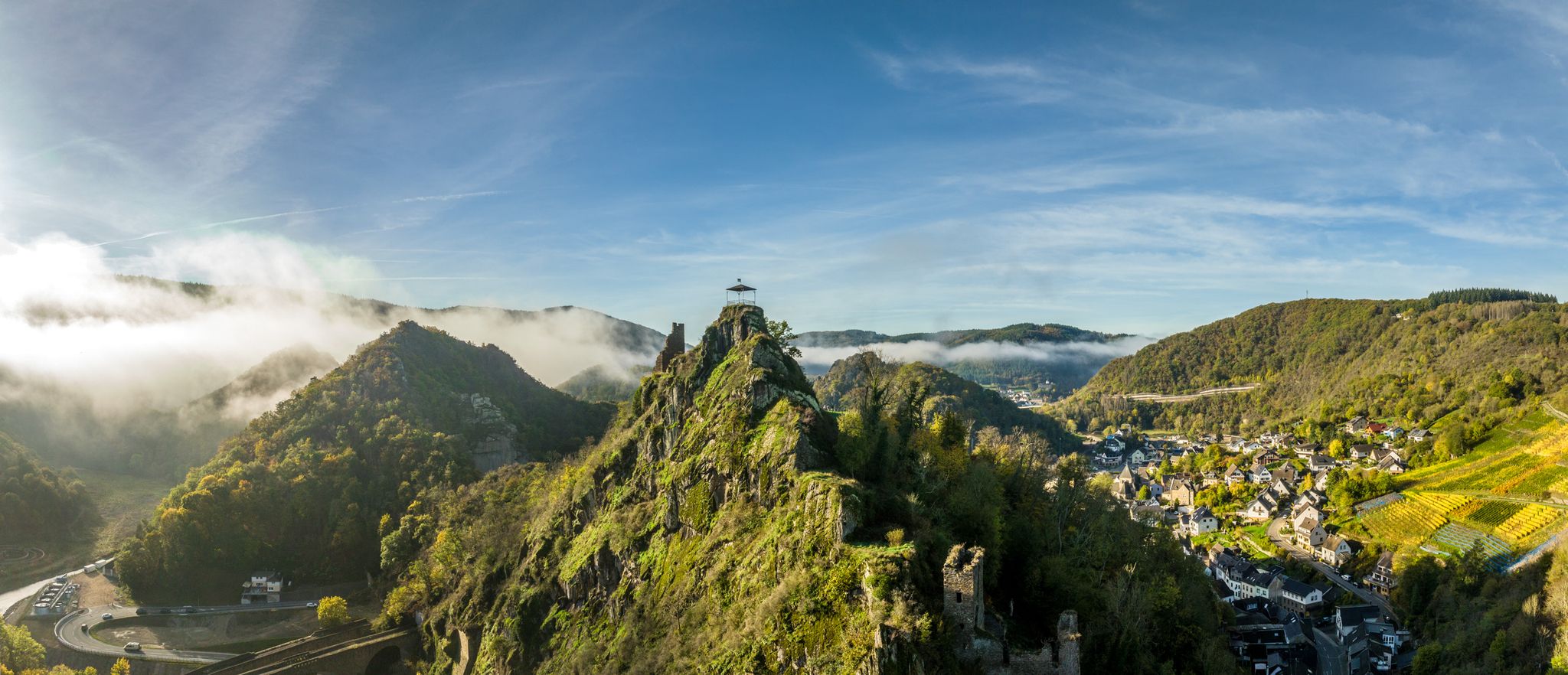
Zwischen Weinbergen und schroffen Felsen – Wandern im Ahrtal
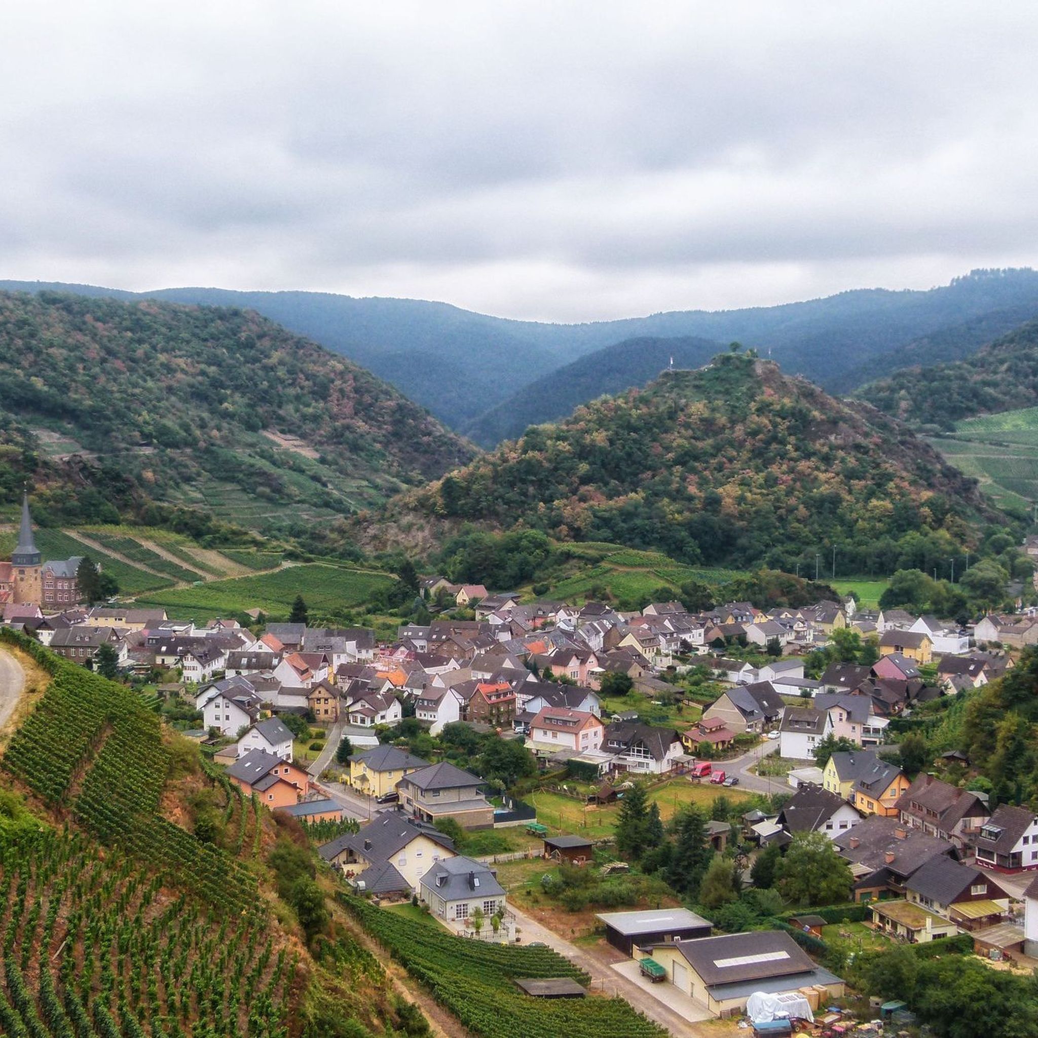
Hiking around Bad Neuenahr Ahrweiler
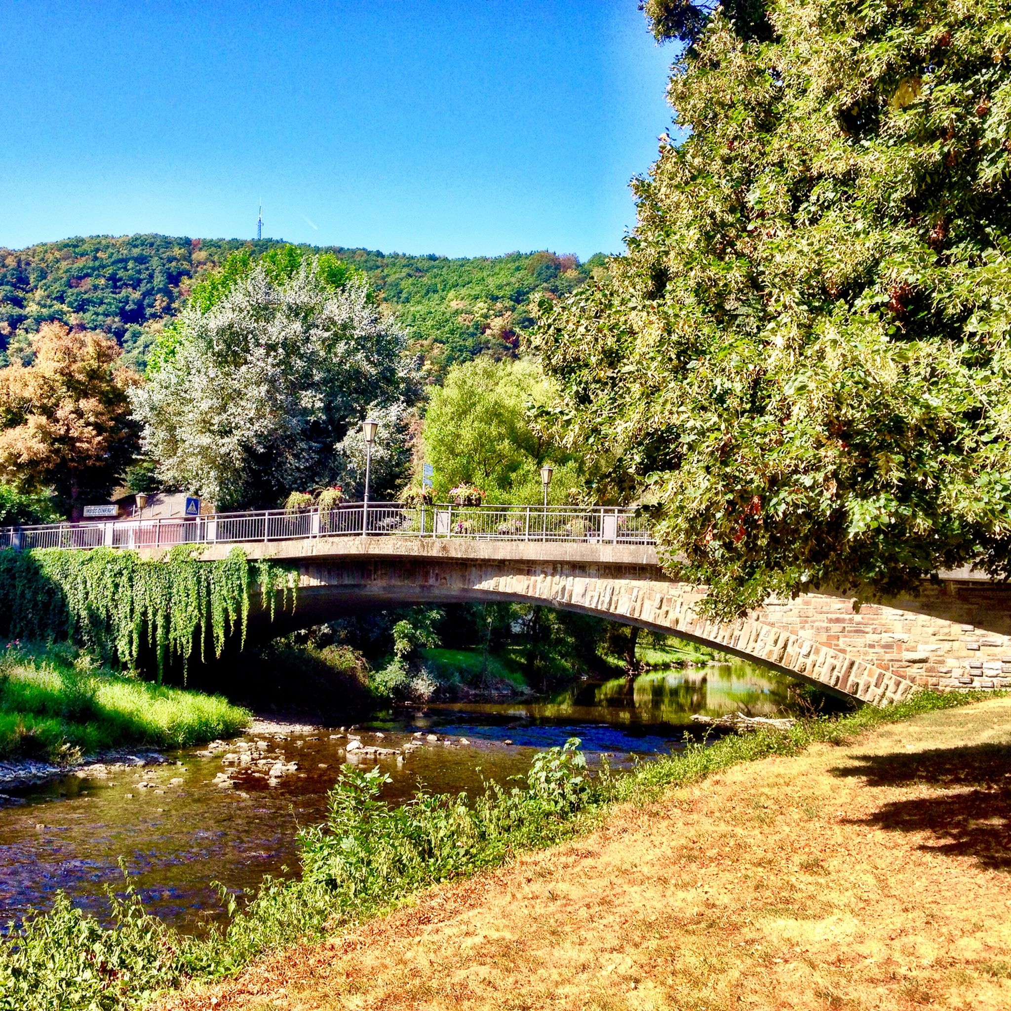
Cycling around Bad Neuenahr Ahrweiler
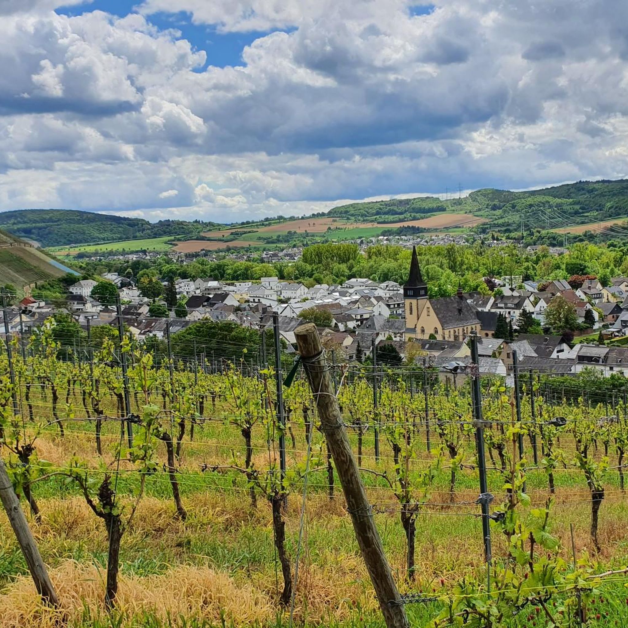
Road Cycling Routes around Bad Neuenahr Ahrweiler
MTB Trails around Bad Neuenahr Ahrweiler
Running Trails around Bad Neuenahr Ahrweiler
Gravel biking around Bad Neuenahr Ahrweiler
Other adventures around Bad Neuenahr Ahrweiler

Tips from the Community

The Weingasthaus „Zum Schäferkarren“ in Altenahr was built in 1716 and renovated in 1979, as indicated by two inscriptions on the facade.
2
0

During wine week there will be a wine kiosk here and you can buy a holder to put your wine glass in 😀
18
1
The devil once went to the Ahr valley and was so pleased with the land and its people, but especially the excellent red wine, that he forgot his way home. One day, while he was resting on the mountain opposite Are Castle, his grandmother approached him in the form of a beautiful girl. In the arms of the lovesick devil, she quickly changed back into the disgusting old woman he knew all too well. Angrily, he grabbed his grandmother and threw her back through the rock face into hell. This is how the Teufelsloch came into being, which can still be seen above Altenahr today.
20
1

Really alpine trail with easier climbing sections, not always very stable rock and sometimes finding the way requires a bit of intuition.
4
0

The dwarf or angel hole at Engelsley is significantly smaller and more difficult to reach than the devil's hole. The Engelsley is not suitable for inexperienced hikers!
1
0

The attentive hiker will not have missed the Stations of the Cross lining the path. At this viewpoint far above the river, which offers a beautiful view into the Ahrtal valley, I would therefore like to recall a fitting thought from the Bishop of Innsbruck, Reinhold Stecher (*1921, + 2013), who felt very connected to nature and the mountains throughout his life, because he saw in them God's wonderful creation, which was entrusted to us humans. „Silence is the invitation to deeper humanity.“
21
1

Since the original staircase including the attachment to the shore was washed away by the tide, you have to climb down the stones.
0
0
The Teufelsley (T4, partly T5) & Engelsley (T5) are tightrope walks. The flooring is mainly rock; also larger boulders. Both have a good grip (but sometimes have sharp edges), provided it is dry. At the Engelsley, the scree is a little smaller/loose and thus the sure-footedness decreases! Since these are difficult mountain/alpine trails (>T4), there are no safety devices (climbers usually secure themselves). -> For this reason, clear advice on my part: Grds ONLY to do when the ground is dry (i.e. no rain the day before) and/or when there are not too many leaves on the rock (autumn). The direction is also important: The ridges are naturally narrow and especially on the Engelsley, there are no alternatives to/from the summit. Unfortunately, I followed the planned tour without prior checking and was lucky. On the Teufelsey, the other 3 people also went in the same direction; I was alone on the Engelsley and can therefore not judge it. -> Grds I advise: from south to north Engelsley: This tightrope walk is no problem for experienced mountaineers (I deliberately avoid the word hiker) with the appropriate previous knowledge and possibly equipment. Summit book is available. -> Komoot warning: Parts of your route are very dangerous The route may contain very technical, difficult or dangerous terrain. Special equipment and previous knowledge are absolutely necessary.
5
1
Frequently Asked Questions
How challenging are the mountaineering routes around Bad Neuenahr-Ahrweiler?
The mountaineering routes in Bad Neuenahr-Ahrweiler are generally demanding, characterized by significant elevation changes, wild rock formations, and steep vineyards. Many are classified as difficult, requiring good fitness, sure-footedness, and sturdy shoes. For example, the Teufelsley summit – Altenahrer Eck loop from Altenahr involves over 680 meters of ascent.
What kind of terrain can I expect on these mountaineering routes?
You can expect a diverse and rugged landscape. The routes often traverse steep wine terraces, rugged slate cliffs, and narrow gorges within the picturesque Ahr Valley. You'll encounter varied natural features, from idyllic forests to open meadowed valleys, providing both scenic beauty and physical challenges.
Are there any easier mountaineering options for beginners in the region?
While many routes are challenging, the network around Bad Neuenahr-Ahrweiler does offer options for various ability levels. There is at least one route classified as easy, and four as moderate, allowing beginners to gradually experience the region's unique terrain. These might include sections of the broader AhrSteig or Rotweinwanderweg that are less strenuous.
What do other mountaineers say about the routes in Bad Neuenahr-Ahrweiler?
The mountaineering routes in Bad Neuenahr-Ahrweiler are highly rated by the komoot community, with an average score of 4.8 stars from around 50 reviews. More than 100 mountaineers have used komoot to explore the varied terrain, often praising the dramatic views, challenging ascents, and the unique combination of rock formations and vineyards.
How many mountaineering routes are available in the Bad Neuenahr-Ahrweiler area?
There are 10 dedicated mountaineering routes available in the Bad Neuenahr-Ahrweiler area, offering a range of experiences from moderate to difficult. These routes allow you to explore the diverse landscapes of the Ahr Valley.
Are there any circular mountaineering routes in the Ahr Valley?
Yes, many of the challenging mountaineering routes in the Ahr Valley are designed as loops. For instance, the Teufelsley summit – Engelsley Summit Cross loop from Altenahr and the Devil's Hole – Teufelsley summit loop from Kesseling are popular circular options that allow you to start and end in the same location.
What are some notable natural landmarks or viewpoints along the routes?
The region is rich in natural landmarks and panoramic viewpoints. You can visit the legendary Devil's Hole near Altenahr, or enjoy sweeping vistas from the Altenahrer Eck. The Krausberg Tower near Dernau also offers breathtaking 360° views after an ascent.
Can I bring my dog on the mountaineering trails?
Many trails in the Ahr Valley are generally dog-friendly, but given the challenging nature of these mountaineering routes, it's essential to consider your dog's fitness and sure-footedness. Some sections may involve steep ascents, rugged terrain, or narrow paths. Always keep your dog on a leash and be mindful of other hikers and wildlife.
What is the best time of year for mountaineering in Bad Neuenahr-Ahrweiler?
The Ahr Valley is beautiful year-round, but spring and autumn are often considered ideal for mountaineering. In spring, the vineyards burst into green, and in autumn, the foliage offers spectacular colors. Summers can be warm, especially on exposed vineyard paths, while winter mountaineering is possible but requires extra caution due to potentially icy or snowy conditions on higher, more exposed sections.
Are there any specific routes that offer particularly impressive views?
Absolutely. Routes like the Teufelsley summit loop from Altenahr offer incredible panoramic views over the Ahr Valley's wild romantic hilltops and lush vineyards. The Teufelsley summit itself is a prime spot for expansive vistas.
How accessible are the mountaineering routes by public transport?
The Ahr Valley has a regional train line (Ahrtalbahn) that connects many of the towns and villages, including Altenahr and Bad Neuenahr-Ahrweiler. This makes it possible to access various trailheads using public transport, allowing for point-to-point hikes or easier returns after completing a loop. It's advisable to check local train schedules for specific route access.
Are there any places to eat or drink near the mountaineering routes?
Yes, the Ahr Valley is renowned for its wine-growing heritage, and many villages along the routes offer opportunities for refreshments. You'll find numerous wine taverns (Straußwirtschaften), restaurants, and cafes, especially in towns like Altenahr, Mayschoß, and Dernau, where you can enjoy local cuisine and the famous Ahr red wine after your hike.
Most popular routes around Bad Neuenahr Ahrweiler
Most popular attractions around Bad Neuenahr Ahrweiler

Get inspired with the komoot mobile app


Explore more
Browse the best Mountain Hikes & Routes in other regions.
