The best road cycling routes around L'Échelle-Saint-Aurin
4.0
(11)
185
riders
68
rides
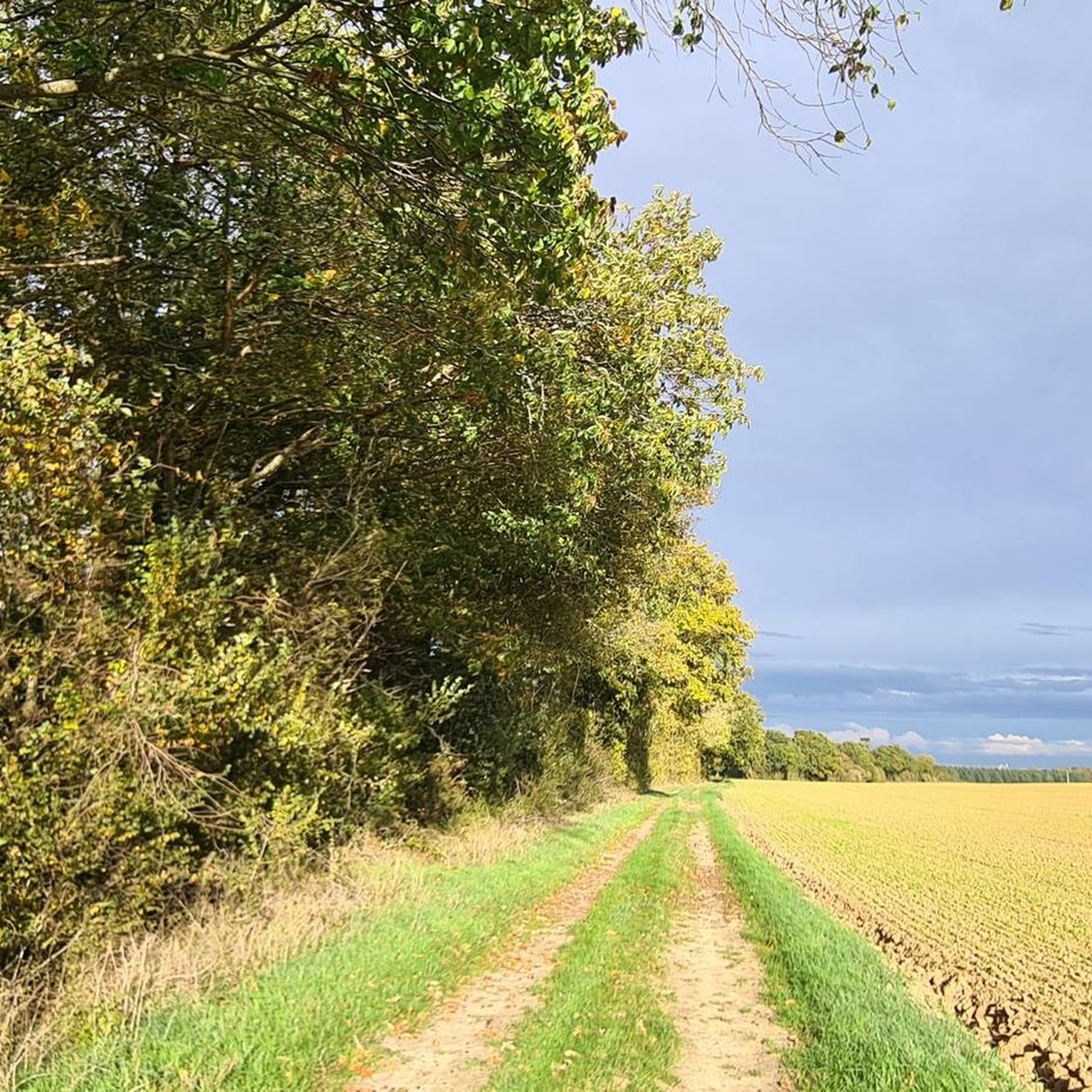
Road cycling routes around L'Échelle-Saint-Aurin are characterized by a generally flat to gently rolling landscape, with elevations ranging from 61 to 97 meters. This topography provides accessible rides suitable for various skill levels. The region is part of the Somme department in Hauts-de-France, offering a peaceful rural setting with quiet, less-trafficked roads. The Avre River flows through the commune, and the area provides access to the extensive Véloroute Vallée de Somme, a dedicated cycle route along the Somme River.
Best…
Last updated: October 30, 2026
15
riders
52.1km
02:14
260m
270m
Moderate road ride. Good fitness required. Mostly well-paved surfaces and easy to ride.
5
riders
54.8km
02:14
210m
210m
Moderate road ride. Good fitness required. Mostly well-paved surfaces and easy to ride.

5
riders
47.1km
01:55
180m
180m
Easy road ride. Mostly well-paved surfaces and easy to ride.
4
riders
51.6km
02:06
250m
250m
Moderate road ride. Good fitness required. Mostly well-paved surfaces and easy to ride.
8
riders
34.4km
01:27
220m
220m
Easy road ride. Mostly well-paved surfaces and easy to ride.
Get access to more routes and recommendations from other explorers.
Already have an account?
Our route recommendations are based on thousands of hikes, rides, and runs completed by other people on komoot.
Start today with a free account
Your next adventure awaits.



Tips from the Community

The reconstruction of Notre-Dame, consecrated in 1928, was designed by Swiss architect Albert Montant—who also designed the church of Canny-sur-Matz. Albert Montant was an excellent connoisseur of medieval architecture, and the building, constructed of brick with some stone elements, contains numerous references to Romanesque architecture, revisited here with great originality and sensitivity. The plan features a bell tower porch, a single nave, and a choir with side aisles, culminating in an apse framed by two apsidioles. Each section has its own distinctive features. The bell tower porch—which echoes that of the previous church—opens with a semicircular arched portal with three arches resting, on each side, on as many small columns via cubic capitals. Three small, offset windows open above, and a gable crowns the whole. Instead of the traditional gallery, the bell tower porch forms, inside, a richly lit lantern crowned by a four-sided dominion vault. Of Carolingian origin, the lantern tower enjoyed great popularity in Anglo-Norman architecture and beyond, as evidenced by the one at Laon Cathedral. The nave has three bays with semicircular barrel vaults. Its two transverse arches are supported by abacuses surmounting consoles, a device intended to house statues, now missing. The choir is covered with a barrel vault that closes in a cul-de-four at the apse. Eleven small semicircular windows penetrate this vault, the base of which is highlighted by a continuous cordon of billets. Three semicircular arches resting on circular piers provide access to the side aisles, each covered with a semicircular barrel vault. This entire ensemble clearly draws its inspiration from the Romanesque architecture of Berry and Auvergne. In the nave, we notice six stained-glass windows by Blanchet-Lesage (1959) on the themes of Faith, Charity, Hope, Prudence, Justice, and Strength (2008).
0
0

This cemetery was created in 1920 by the French State, which brought together in one place the graves of 49 military cemeteries or military squares of communal cemeteries. It houses 6,545 remains of soldiers including 3,755 in individual graves, 126 of which are unidentified and 2,790 in two ossuaries, 116 of which are unidentified. The tombs are materialized by stone crosses. More than 2,000 soldiers killed from the winter of 1914 to the summer of 1916 lie in this cemetery. However, the vast majority of the graves are those of soldiers who fell during the Battle of the Kaiser in the spring of 1918 and the Hundred Days Offensive led by the Allies from the summer of 1918. Against the east wall of the cemetery, near the entrance, a commemorative plaque pays homage to Richard von Heydebreck who died on June 12, 1918. A monument erected inside the necropolis pays homage to the German and French soldiers who fell near Liancourt - Pit in 1915, about ten kilometers away. Wikipedia
1
0
Frequently Asked Questions
How many road cycling routes are available around L'Échelle-Saint-Aurin?
There are over 50 road cycling routes in the L'Échelle-Saint-Aurin area, offering a variety of options for different skill levels. You'll find 18 easy routes, 34 moderate routes, and 1 more challenging option.
What is the typical terrain like for road cycling in L'Échelle-Saint-Aurin?
The terrain around L'Échelle-Saint-Aurin is generally flat to gently rolling, with elevations ranging from 61 to 97 meters. This makes for accessible and less strenuous rides, perfect for enjoying the peaceful rural landscape of the Somme department.
Are there road cycling routes suitable for beginners or families?
Yes, the region's flat to gently rolling topography is ideal for beginners and families. Many routes, including the 18 easy options available, offer relaxed and accessible rides. The quiet, less-trafficked roads provide a tranquil environment for all skill levels.
How does L'Échelle-Saint-Aurin connect to the wider Somme Valley cycling network?
L'Échelle-Saint-Aurin offers convenient access to the extensive Véloroute Vallée de Somme, a dedicated cycle route spanning approximately 160 to 200 kilometers along the Somme River. This network features comfortable and mostly flat paths, allowing cyclists to explore the region's natural beauty and historical sites. You can find more information about the Véloroute Vallée de Somme on France Vélo Tourisme or Somme Tourisme.
What natural features or scenic views can I expect on road cycling routes in this area?
Road cycling in this area offers picturesque views of the idyllic countryside, often alongside the Avre River, which flows through L'Échelle-Saint-Aurin. Cycling along the nearby Véloroute Vallée de Somme also exposes riders to diverse natural treasures, including marshlands and lakes like the Barette ponds in Corbie, rich in biodiversity.
Are there any historical or cultural points of interest accessible by road bike?
The broader Somme Valley is steeped in history, particularly related to World War I. Cyclists on the Véloroute can encounter reminders of this past in towns like Péronne. Further afield, cities like Amiens, with its stunning Notre-Dame Cathedral (a UNESCO World Heritage Site) and unique 'Hortillonnages' (floating gardens), are accessible via the cycling route.
What do other road cyclists enjoy about the routes around L'Échelle-Saint-Aurin?
The routes in L'Échelle-Saint-Aurin are highly rated by the komoot community, with an average score of 4.0 stars. Cyclists frequently praise the peaceful rural roads, the gentle terrain, and the opportunity to connect with the wider Somme Valley network for varied distances and experiences.
Are there any good circular road cycling routes starting near L'Échelle-Saint-Aurin?
Yes, many of the routes in the area are circular, allowing you to start and finish in the same location. For example, the Roadbike loop from Roye is an easy 47.1 km ride, and the Tour Roland loop from Roye offers a moderate 51.6 km option, both providing excellent circular experiences.
What is the best time of year for road cycling in L'Échelle-Saint-Aurin?
The generally mild climate of Hauts-de-France makes spring, summer, and early autumn ideal for road cycling. These seasons offer pleasant temperatures and longer daylight hours, perfect for exploring the region's flat terrain and scenic routes.
Are there any long-distance road cycling options from L'Échelle-Saint-Aurin?
Absolutely. While L'Échelle-Saint-Aurin itself offers routes up to 75.6 km, its connection to the Véloroute Vallée de Somme opens up possibilities for much longer rides. The Véloroute extends for 160-200 km, allowing for multi-day tours or extended day trips along the river.
Where can I find parking for road cycling routes in the L'Échelle-Saint-Aurin area?
Given the rural nature of L'Échelle-Saint-Aurin and surrounding villages, parking is generally available in village centers or near public spaces. For specific routes, it's advisable to check the starting point details on komoot for designated parking areas or suitable roadside spots.
Are there any road cycling routes with low traffic in the L'Échelle-Saint-Aurin region?
The L'Échelle-Saint-Aurin area and the wider Santerre region are known for their quiet, less-trafficked rural roads. This provides a tranquil cycling environment away from urban bustle, allowing cyclists to fully immerse themselves in the idyllic countryside scenery. Many of the routes, such as the Road Through the Woods loop from Roye, traverse these peaceful lanes.
Most popular routes around L'Échelle-Saint-Aurin

Get inspired with the komoot mobile app


Explore more
Browse the best Road cycling routes in other regions.
