The best road cycling routes around Caix
4.5
(16)
580
riders
116
rides
Road cycling routes around Caix are characterized by the gently undulating terrain of the Somme department in Hauts-de-France. The region's elevation ranges from 53 to 97 meters, indicating a generally flat landscape with minor ascents. Road cycling in Caix often traverses agricultural lands and connects small villages, utilizing a network of paved roads suitable for cycling. These cycling routes in Caix offer a mix of open landscapes and quiet village roads.
Best road cycling routes around Caix
- The most popular…
Last updated: October 30, 2026
12
riders
55.2km
02:13
190m
190m
Moderate road ride. Good fitness required. Mostly well-paved surfaces and easy to ride.
8
riders
25.1km
01:00
70m
70m
Easy road ride. Mostly well-paved surfaces and easy to ride.

7
riders
37.6km
01:40
190m
190m
Easy road ride. Mostly well-paved surfaces and easy to ride.
4.0
(1)
6
riders
31.8km
01:17
130m
130m
Moderate road ride. Some segments of this route may be unpaved and difficult to ride.
7
riders
30.5km
01:13
80m
80m
Easy road ride. Mostly well-paved surfaces and easy to ride.
Get access to more routes and recommendations from other explorers.
Already have an account?
Our route recommendations are based on thousands of hikes, rides, and runs completed by other people on komoot.
Start today with a free account
Your next adventure awaits.



Tips from the Community

Monument to the dead of the First World War built in 1924
0
0

bottle installation required ☺️
0
0


This cemetery was created in 1920 by the French State, which brought together in one place the graves of 49 military cemeteries or military squares of communal cemeteries. It houses 6,545 remains of soldiers including 3,755 in individual graves, 126 of which are unidentified and 2,790 in two ossuaries, 116 of which are unidentified. The tombs are materialized by stone crosses. More than 2,000 soldiers killed from the winter of 1914 to the summer of 1916 lie in this cemetery. However, the vast majority of the graves are those of soldiers who fell during the Battle of the Kaiser in the spring of 1918 and the Hundred Days Offensive led by the Allies from the summer of 1918. Against the east wall of the cemetery, near the entrance, a commemorative plaque pays homage to Richard von Heydebreck who died on June 12, 1918. A monument erected inside the necropolis pays homage to the German and French soldiers who fell near Liancourt - Pit in 1915, about ten kilometers away. Wikipedia
1
0

A nice place to take a short break and take advantage of its supplies, there are a few benches to sit down!
1
0
Frequently Asked Questions
How many road cycling routes are available around Caix?
There are over 120 road cycling routes available around Caix, offering a wide range of options for different skill levels and preferences. You'll find routes traversing agricultural lands and connecting small villages.
What is the typical terrain like for road cycling in Caix?
The terrain around Caix is generally flat to gently undulating, with elevations ranging from 53 to 97 meters. Routes primarily traverse open agricultural landscapes and quiet village roads, making for a smooth cycling experience.
Are there road cycling routes suitable for beginners in Caix?
Yes, Caix offers a good selection of routes for beginners. There are 50 easy-rated road cycling routes, perfect for those looking for a relaxed ride through the countryside.
What kind of longer road cycling routes can I find near Caix?
For longer rides, you can explore routes like the Corbie Tours – Notre-Dame of Corbie loop from Rosières, which is 37.3 miles (60.0 km) with moderate gradients. Another option is the Towpath Along the Somme River – Corbie Tours loop from Rosières, a 45.1 miles (72.6 km) path following the Somme River.
Are there any advanced or challenging road cycling routes in Caix?
While the region is generally flat, there are 9 routes rated as difficult for those seeking more of a challenge. These routes may feature longer distances or slightly more varied elevation changes within the gently undulating landscape.
What do other road cyclists enjoy most about cycling in Caix?
The road cycling routes around Caix are highly rated by the komoot community, with an average score of 4.3 stars from 7 reviews. Cyclists often appreciate the quiet village roads, open agricultural landscapes, and the peaceful atmosphere of the Somme valley.
Are there any circular road cycling routes available?
Yes, many routes around Caix are designed as loops. For example, the Over the Somme loop from Rosières is a 23.4 miles (37.6 km) trail that takes you through the Somme valley and returns to your starting point.
What historical landmarks or points of interest can I see while cycling near Caix?
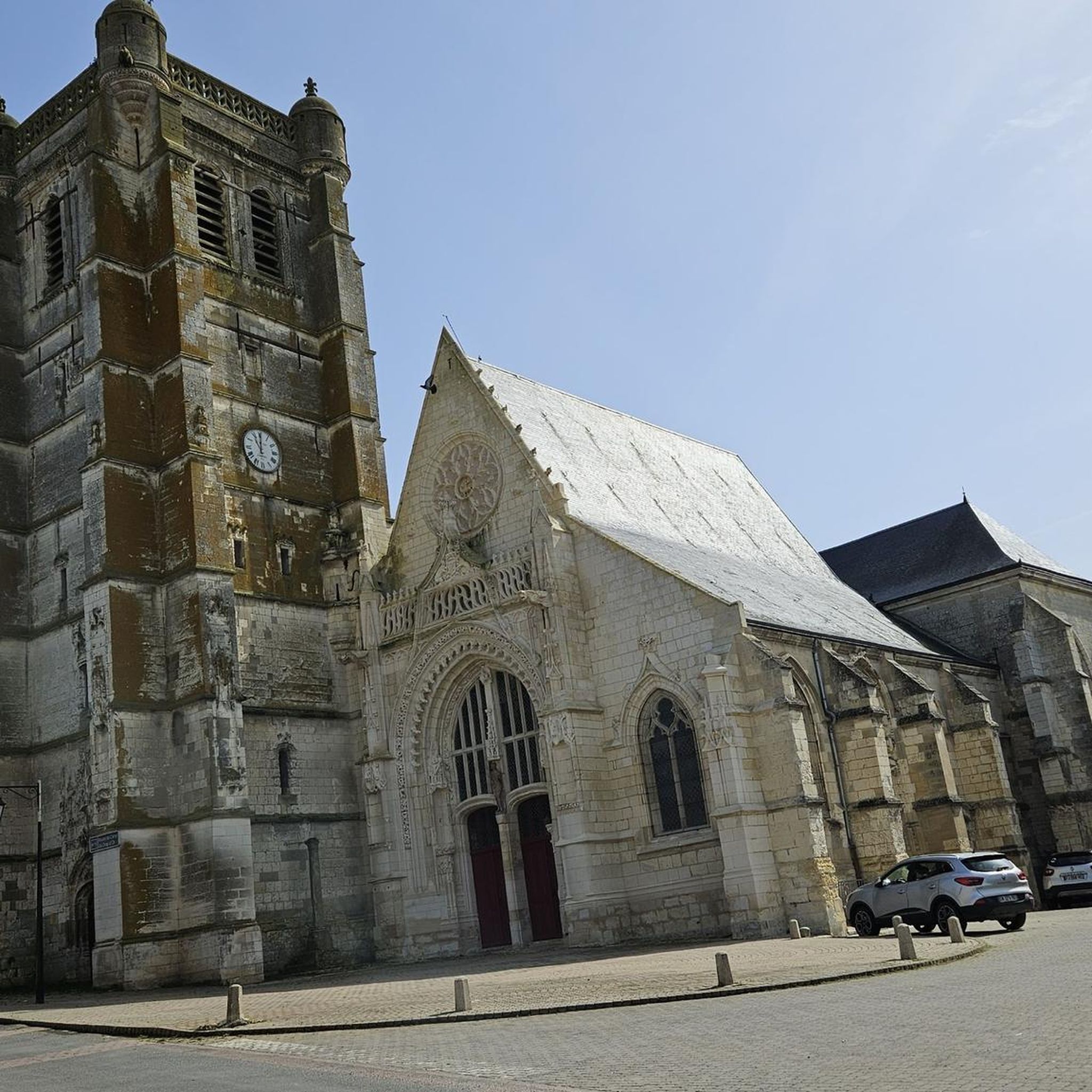
While cycling through the region, you may encounter historical landmarks such as the Sainte-Croix church and various military cemeteries, reflecting Caix's historical significance. The routes often connect small villages, each with its own local character.
What is the best time of year for road cycling in Caix?
Given the agricultural landscape and generally mild climate of Hauts-de-France, spring, summer, and early autumn are typically the best times for road cycling in Caix. These seasons offer pleasant temperatures and good road conditions.
Are there routes that follow river paths or offer water views?
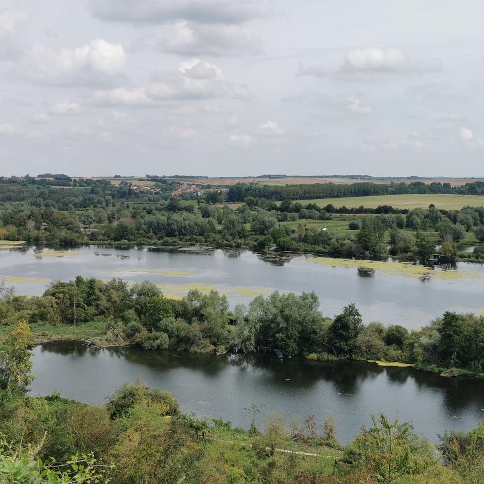
Yes, some routes follow river paths. The Towpath Along the Somme River – Corbie Tours loop from Rosières is a notable example, offering views of the Somme River and its surrounding flatlands.
Can I find routes that are a moderate challenge?
Absolutely. There are 67 moderate-difficulty road cycling routes around Caix. These routes often feature slightly longer distances or more varied gradients compared to the easy options, providing a good workout without being overly strenuous.
Are there any specific routes that are popular among local cyclists?
Local road cyclists frequently enjoy routes like the Roadbike loop from Rosières-en-Santerre, which is a 31.8 miles (51.1 km) moderate route, and the Roadbike loop from Rosières, an easy 31.2 miles (50.3 km) option.
Most popular attractions around Caix

Get inspired with the komoot mobile app


Explore more
Browse the best Road cycling routes in other regions.
