The best cycling routes around Bouchavesnes-Bergen
4.2
(218)
1,153
riders
98
rides
Touring cycling around Bouchavesnes-Bergen offers routes through a landscape characterized by the Somme River and its canals, providing mostly flat terrain ideal for cycling. The area features a mix of open fields, riverside paths, and small villages. Elevation changes are generally gentle, with few significant climbs, making it accessible for various skill levels.
Best touring cycling routes around Bouchavesnes-Bergen
- The most popular touring cycling route is Château de Suzanne – Canal de la Somme Cycle Path loop from Biaches,…
Last updated: July 9, 2026
4.5
(44)
199
riders
45.1km
02:54
240m
240m
Moderate bike ride. Good fitness required. Mostly paved surfaces. Suitable for all skill levels.
4.4
(16)
58
riders
36.0km
02:38
260m
260m
Moderate bike ride. Good fitness required. Mostly paved surfaces. Suitable for all skill levels.

Sign up for free
4.0
(6)
20
riders
20.3km
01:18
100m
100m
Easy bike ride. Great for any fitness level. Mostly paved surfaces. Suitable for all skill levels.
3.8
(5)
23
riders
44.2km
02:47
190m
190m
Moderate bike ride. Good fitness required. Mostly paved surfaces. Suitable for all skill levels.
4.0
(6)
17
riders
22.6km
01:33
100m
100m
Easy bike ride. Great for any fitness level. Mostly paved surfaces. Suitable for all skill levels.
Get access to more routes and recommendations from other explorers.
Sign up for free
Already have an account?
Our route recommendations are based on thousands of hikes, rides, and runs completed by other people on komoot.
Start today with a free account
Your next adventure awaits.
Login or Signup


Tips from the Community

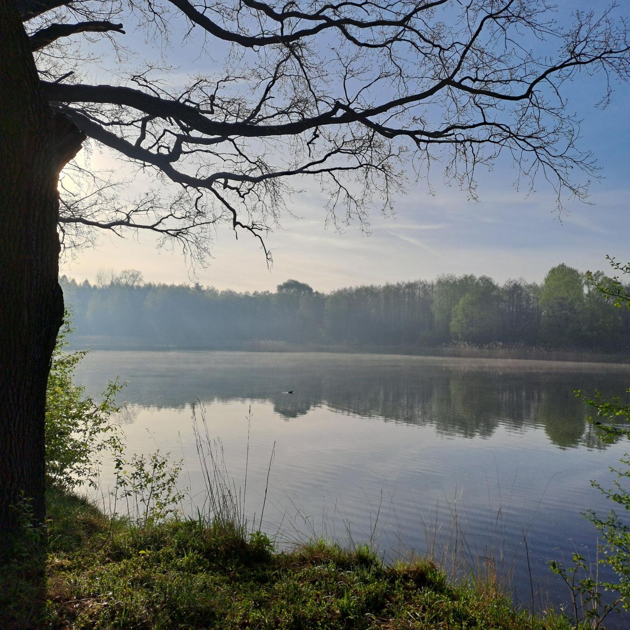
The Somme 245 km is a river in Hauts-de-France (France). The old Gallic name of the river is "Samara", meaning "the calm one". It is the river from which the Somme department derives its name.
8
0
Welcome to Eclusier-Vaux, a municipality in the Somme with 85 inhabitants.
9
0
The castle served for centuries as a meeting place for the regional nobility and thinkers.
10
0
This lock also has a fish ladder / bypass.
14
0
Nice break spot with shade
5
0

Also a bicycle repair and electric bike charging point
0
0

The canal must be deep here for these cargo ships to sail through it so fully loaded. In any case, they stir up a lot of mud, because the canal behind the cargo ships is then filled with brown clouds.
0
0
the port of Peronne in a side arm as a dead end
0
0
Frequently Asked Questions
How many touring cycling routes are available around Bouchavesnes-Bergen?
There are over 100 touring cycling routes in the Bouchavesnes-Bergen area, offering a wide range of options for different skill levels and preferences. You'll find paths suitable for easy rides, as well as more moderate challenges.
Are there easy touring cycling routes suitable for beginners or families?
Yes, Bouchavesnes-Bergen is well-suited for beginners and families, with 37 easy routes available. These often follow the flat terrain along the Somme River and its canals. A good option is The port of Peronne – Moislains Lock loop from Moislains, which is 13.9 miles (22.4 km) and generally flat.
What kind of terrain can I expect on touring cycling routes in this region?
The terrain around Bouchavesnes-Bergen is predominantly flat, characterized by paths along the Somme River and its canals, as well as through open agricultural fields. Elevation changes are generally gentle, making it ideal for relaxed touring cycling.
Are there any circular touring cycling routes in Bouchavesnes-Bergen?
Many routes in the area are circular, allowing you to start and end at the same point. For example, the Frise Lock – Eclusier-Vaux loop from Cléry-sur-Somme offers a pleasant 10.6-mile (17 km) circular ride.
What are some scenic routes with the best views?
Routes along the Canal de la Somme and the banks of the Somme River offer particularly scenic views of the waterways and surrounding countryside. The Banks of the Somme – Canal du Nord loop from Cléry-sur-Somme is a popular choice, providing picturesque vistas throughout its 27.4 miles (44.1 km).
What attractions or landmarks can I see along the cycling routes?
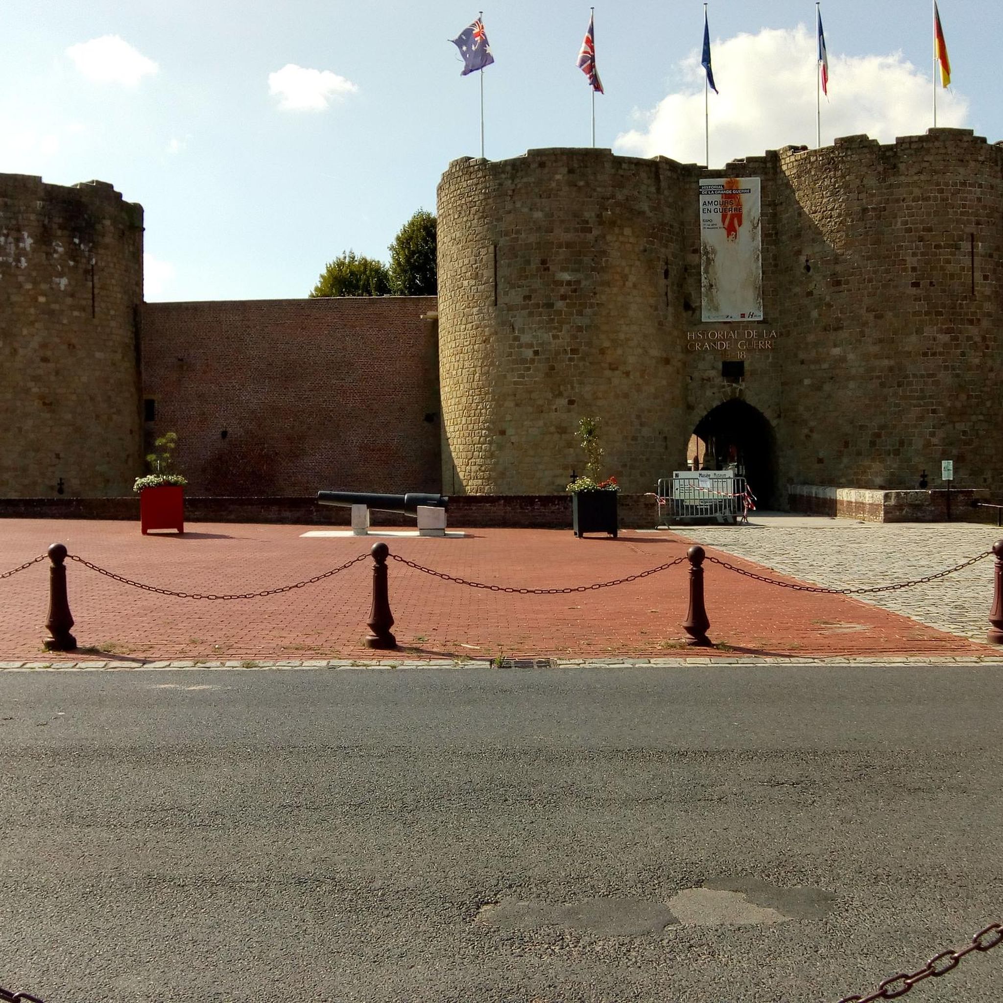
The region offers several interesting landmarks. You might encounter historical sites like the Château de Péronne or the Historial of the Great War – Château de Péronne. Scenic viewpoints such as Vaux Viewpoint and Frise Viewpoint also offer great photo opportunities.
What is the best season for touring cycling in Bouchavesnes-Bergen?
The best seasons for touring cycling in Bouchavesnes-Bergen are generally spring (April-May) and autumn (September-October) when the weather is mild and the natural scenery is vibrant. Summer (June-August) is also pleasant, though it can be warmer.
Are there any routes suitable for more advanced touring cyclists?
While the region is known for its gentle terrain, there are 10 routes classified as difficult for those seeking more of a challenge. Additionally, some moderate routes, like the Banks of the Somme – Canal de la Somme Cycle Path loop from Cléry-sur-Somme, offer longer distances and slightly more elevation gain over 28.4 miles (45.8 km).
What do other touring cyclists enjoy most about cycling in Bouchavesnes-Bergen?
The area is highly rated by the komoot community, with an average score of 4.2 stars from over 150 reviews. Reviewers often praise the peaceful canal paths, the flat and accessible terrain, and the charming riverside villages that make for a relaxing cycling experience.
Is public transport available to access the cycling routes?
While specific public transport connections directly to trailheads might be limited, the region has local bus services and train stations in nearby towns like Péronne, which can provide access points to the wider cycling network. It's advisable to check local transport schedules for bicycle carriage options.
Where can I find parking for bike trails in Bouchavesnes-Bergen?
Parking is generally available in the villages and towns along the Somme River and canals, such as Biaches, Cléry-sur-Somme, and Moislains, which serve as common starting points for many routes. Look for designated public parking areas near the waterways or village centers.
Are there opportunities for refreshments or cafes along the routes?
Yes, many of the routes pass through or near small villages and towns where you can find local cafes, bakeries, or small shops to refuel. Planning your route with stops in places like Péronne or other riverside communities will ensure you have access to refreshments.
Most popular routes around Bouchavesnes-Bergen
Most popular attractions around Bouchavesnes-Bergen

Get inspired with the komoot mobile app


Explore more
Browse the best Cycling routes in other regions.
