The best walks and hikes around Mary
4.6
(114)
492
hikers
78
hikes
Hiking around Mary, a commune in Saône-et-Loire, Bourgogne, offers a variety of trails through its undulating rural landscape. The region is characterized by rolling hills, agricultural fields, and patches of woodland, providing diverse scenery for outdoor activities. Elevations are generally moderate, with several hills offering panoramic views of the surrounding countryside.
Best hiking trails around Mary
- The most popular hiking route is View from Mont Saint-Cyr loop from Mont-Saint-Vincent, a 3.6 miles (5.7 km) trail that takes 1 hour…
Last updated: July 6, 2026
4.4
(5)
15
hikers
5.74km
01:43
160m
160m
Easy hike. Great for any fitness level. Easily-accessible paths. Suitable for all skill levels.
5.0
(1)
9
hikers
8.48km
02:27
200m
200m
Moderate hike. Good fitness required. Easily-accessible paths. Suitable for all skill levels.

Sign up for free
5.0
(1)
5
hikers
10.7km
03:03
250m
250m
Moderate hike. Good fitness required. Easily-accessible paths. Suitable for all skill levels.
5.0
(1)
5
hikers
13.2km
03:42
270m
270m
Moderate hike. Good fitness required. Easily-accessible paths. Suitable for all skill levels.
3
hikers
15.4km
04:10
210m
210m
Moderate hike. Good fitness required. Easily-accessible paths. Suitable for all skill levels.
Get access to more routes and recommendations from other explorers.
Sign up for free
Already have an account?
Our route recommendations are based on thousands of hikes, rides, and runs completed by other people on komoot.
Start today with a free account
Your next adventure awaits.
Login or Signup
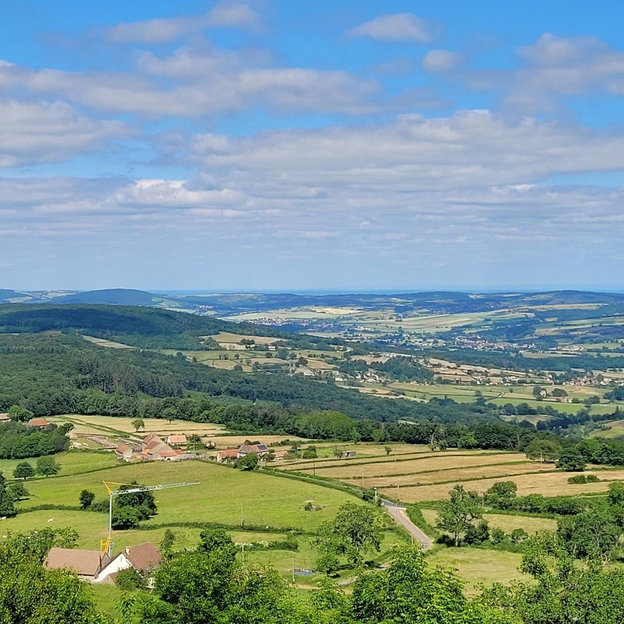

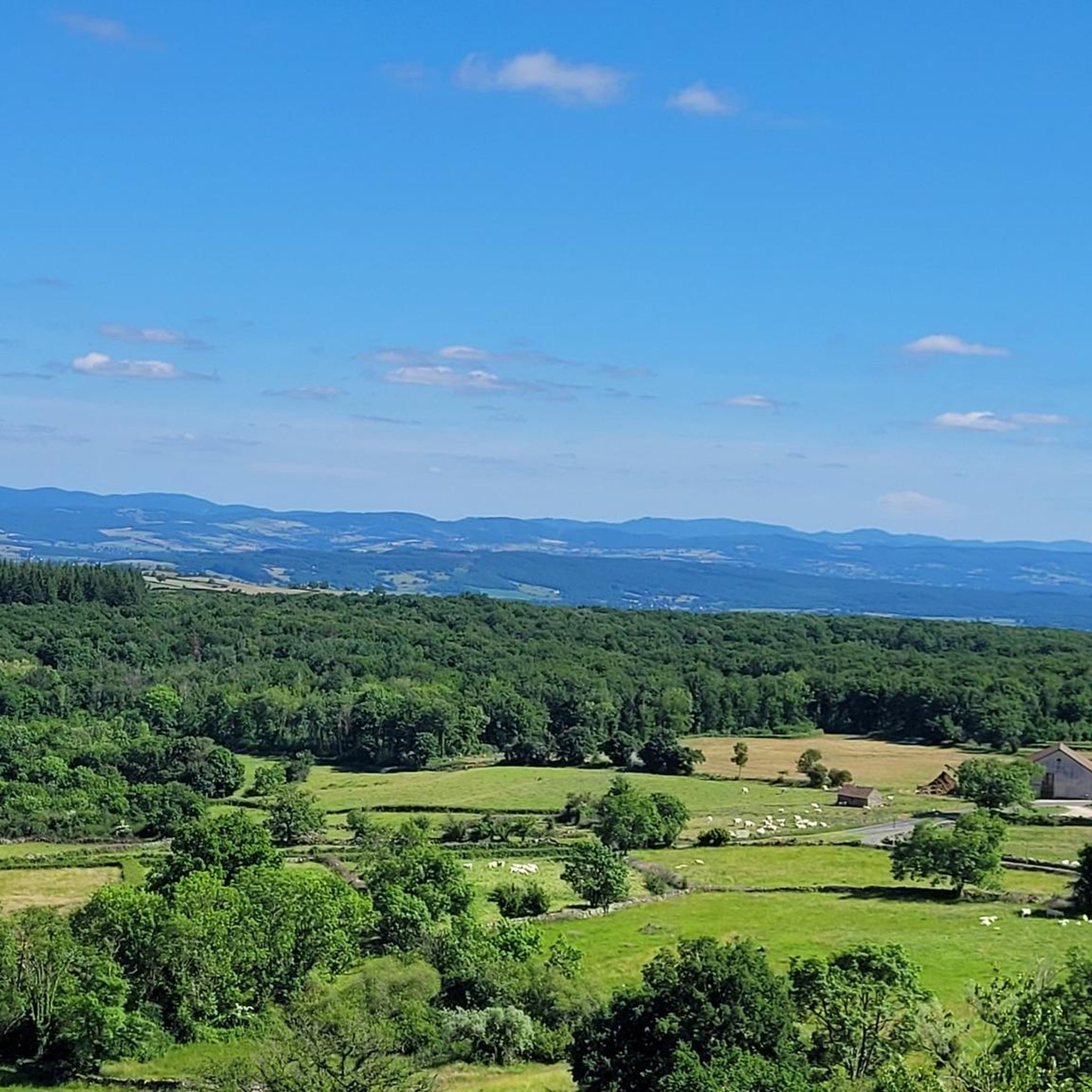
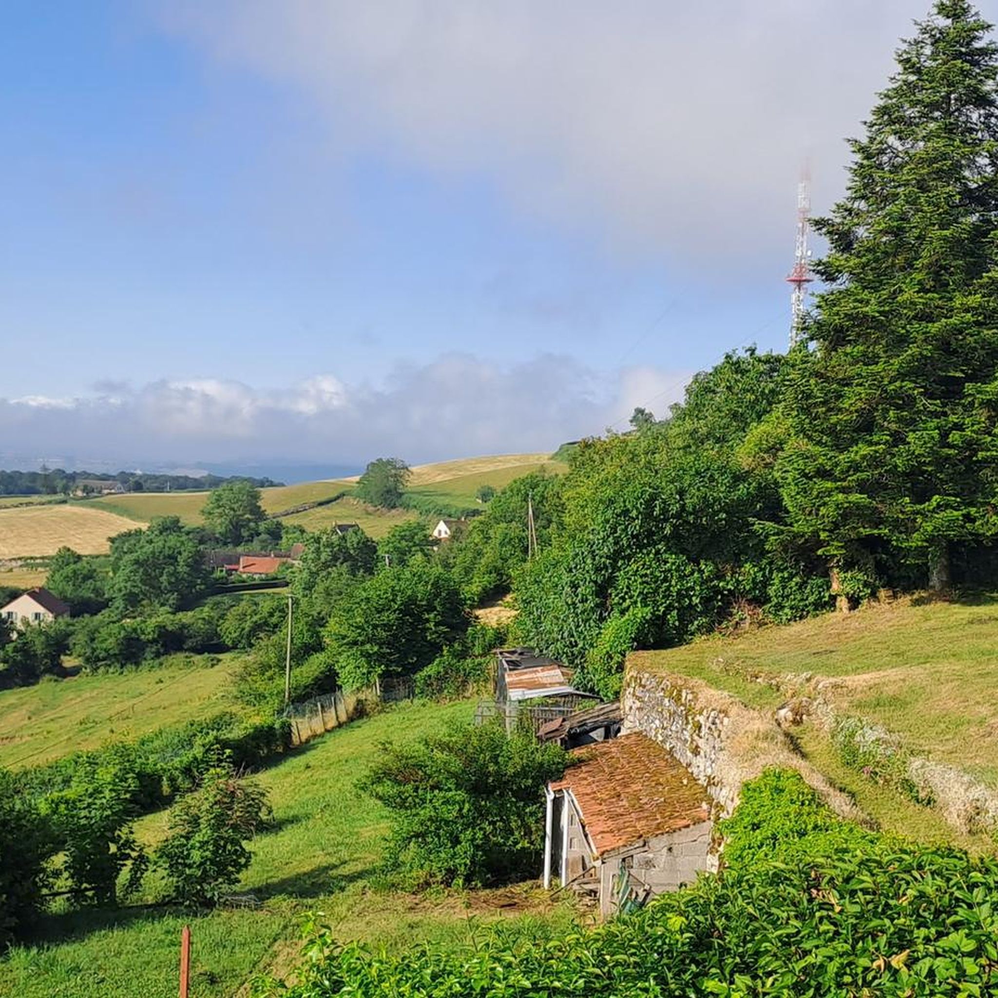
Tips from the Community

The chapel originally dates from the 12th century and was built in the Romanesque style. Due to its historical significance, it has been protected as an official Monument historique (listed building) in France since 1971. It stands elevated on a hill and offers a wide view of the Charolais landscape.
0
0

360 ° view of the Grosne valley, the Mâconnais, the Charolais ... to the Beaujolais mountains
0
0
Frequently Asked Questions
How many hiking trails are available in Mary?
There are over 80 hiking routes available around Mary, offering a wide range of options for different skill levels and preferences.
Are there easy hikes suitable for beginners in Mary?
Yes, Mary offers over 25 easy hiking routes. A great option for beginners is the View from Mont Saint-Cyr loop from Mont-Saint-Vincent, which is 3.6 miles (5.7 km) long and provides scenic views from Mont Saint-Cyr.
What are some challenging hiking options around Mary?
For those seeking a more challenging experience, there are 7 difficult routes in the area. While specific challenging routes are not detailed here, these trails typically feature greater elevation changes and longer distances, traversing the region's rolling hills and woodlands.
Are there any circular hiking routes in Mary?
Yes, many of the trails in Mary are circular, allowing you to start and end at the same point. An example is the Mount Saint-Vincent loop from Mont-Saint-Vincent, a moderate 6.6-mile (10.7 km) trail that explores the local hills and woodlands.
What kind of scenery can I expect on hikes in Mary?
Hiking in Mary offers diverse scenery characterized by undulating rural landscapes, rolling hills, agricultural fields, and patches of woodland. Many routes provide panoramic views of the surrounding countryside, especially from higher elevations like Mont Saint-Cyr.
What are some interesting landmarks or attractions to see near the hiking trails?
While hiking, you can explore several historical sites and viewpoints. Notable attractions include La Serrée Castle, Burnand Castle, and the Pontus de Tyard Castle. You can also enjoy the Views of the Savigny-sur-Grosne area.
What is the best time of year to go hiking in Mary?
The best time for hiking in Mary is generally during spring, summer, and early autumn when the weather is mild and the natural landscape is vibrant. These seasons offer comfortable temperatures for exploring the region's rural charm and scenic views.
Are there any specific routes that offer great scenic viewpoints?
Many routes in Mary provide excellent scenic viewpoints due to the region's rolling hills. The View from Mont Saint-Cyr loop from Les Brosses Tillots is a moderate 8.2-mile (13.2 km) trail specifically known for its panoramic vistas.
What do other hikers say about the trails in Mary?
The routes in Mary are highly rated by the komoot community, with an average score of 4.6 stars from over 90 reviews. Hikers often praise the varied terrain, open vistas, and the peaceful, rural atmosphere of the trails.
Are the hiking trails in Mary suitable for families?
Yes, with over 25 easy routes, many trails in Mary are suitable for families. The moderate elevation changes and well-defined paths make it enjoyable for all ages. Consider shorter, circular routes for a family-friendly outing.
How long do hikes in Mary typically take?
Hike durations vary widely depending on the route's length and difficulty. For example, an easy route like the View from Mont Saint-Cyr loop from Mont-Saint-Vincent takes about 1 hour 42 minutes, while a moderate 6.6-mile (10.7 km) trail can take around 3 hours.
Is there parking available at the trailheads in Mary?
While specific parking information for every trailhead is not provided, most rural hiking areas in France, including those around Mary, typically have designated parking areas near popular starting points or in nearby villages. It's advisable to check local signage upon arrival.
Most popular attractions around Mary

Get inspired with the komoot mobile app


Explore more
Browse the best Hikes in other regions.
