The best running trails around Breit
4.3
(244)
2,662
runners
170
runs
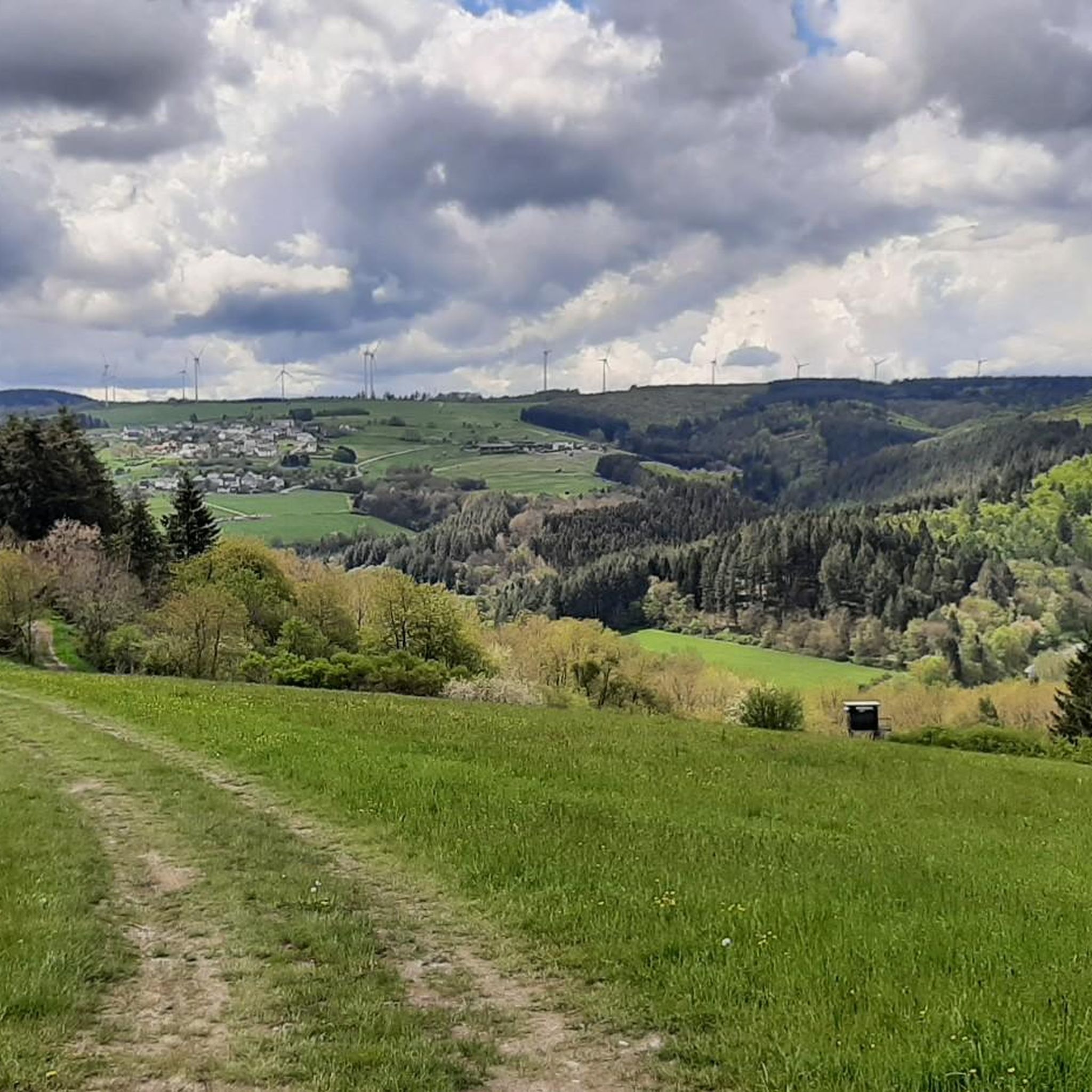
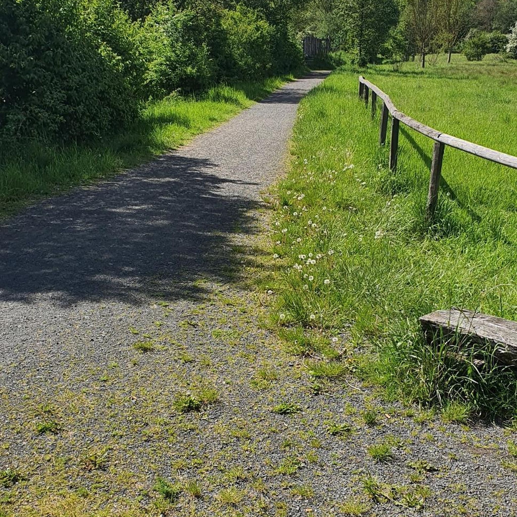
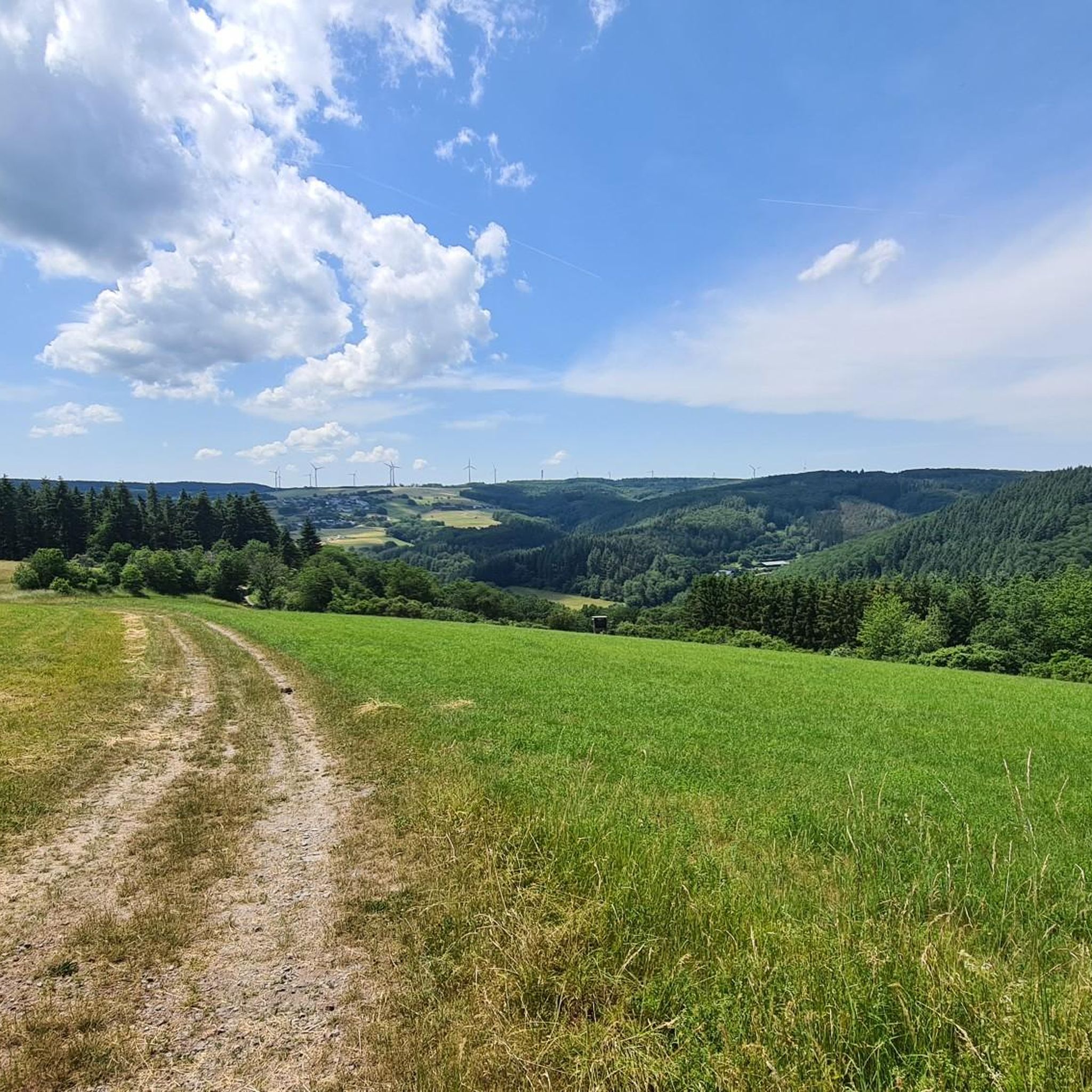
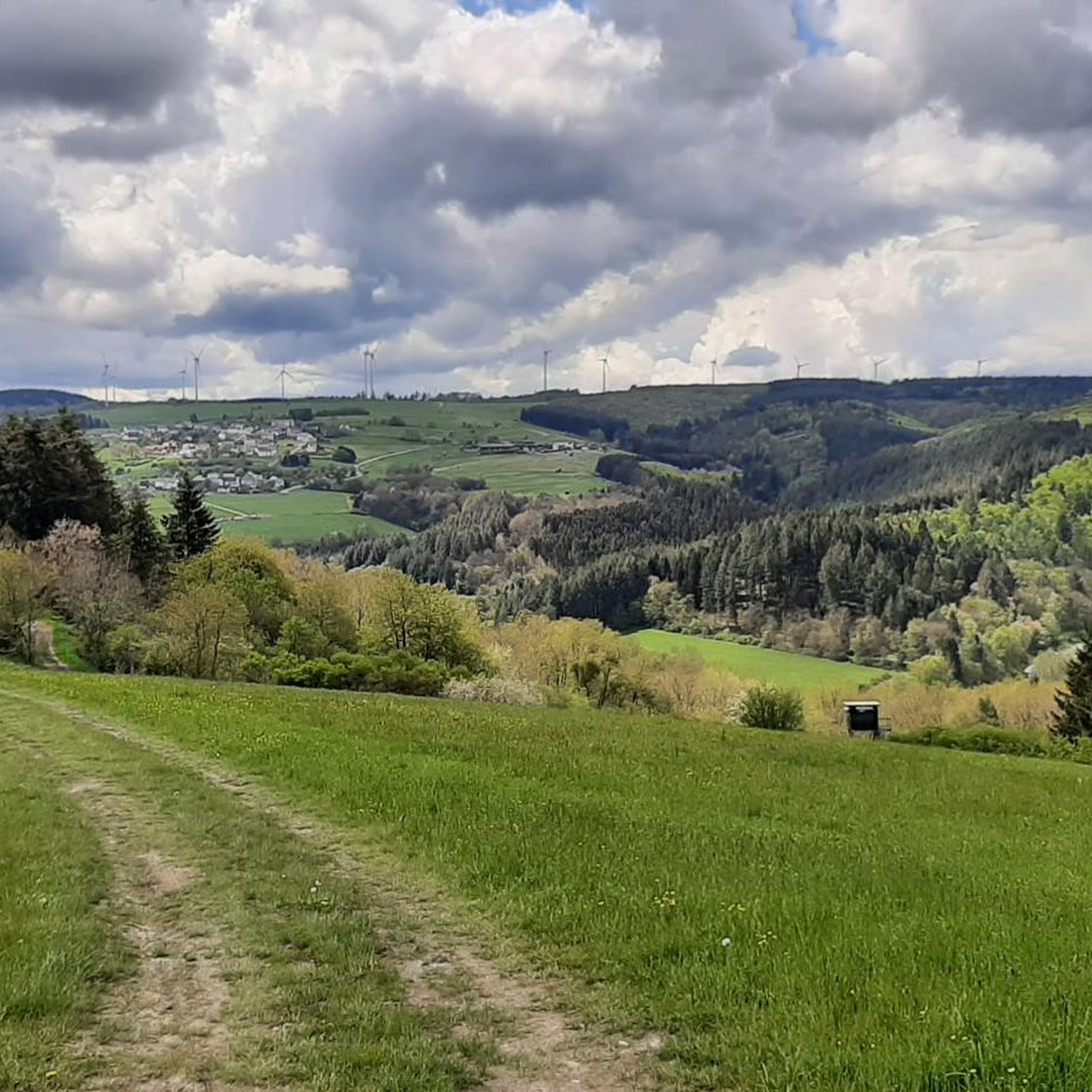
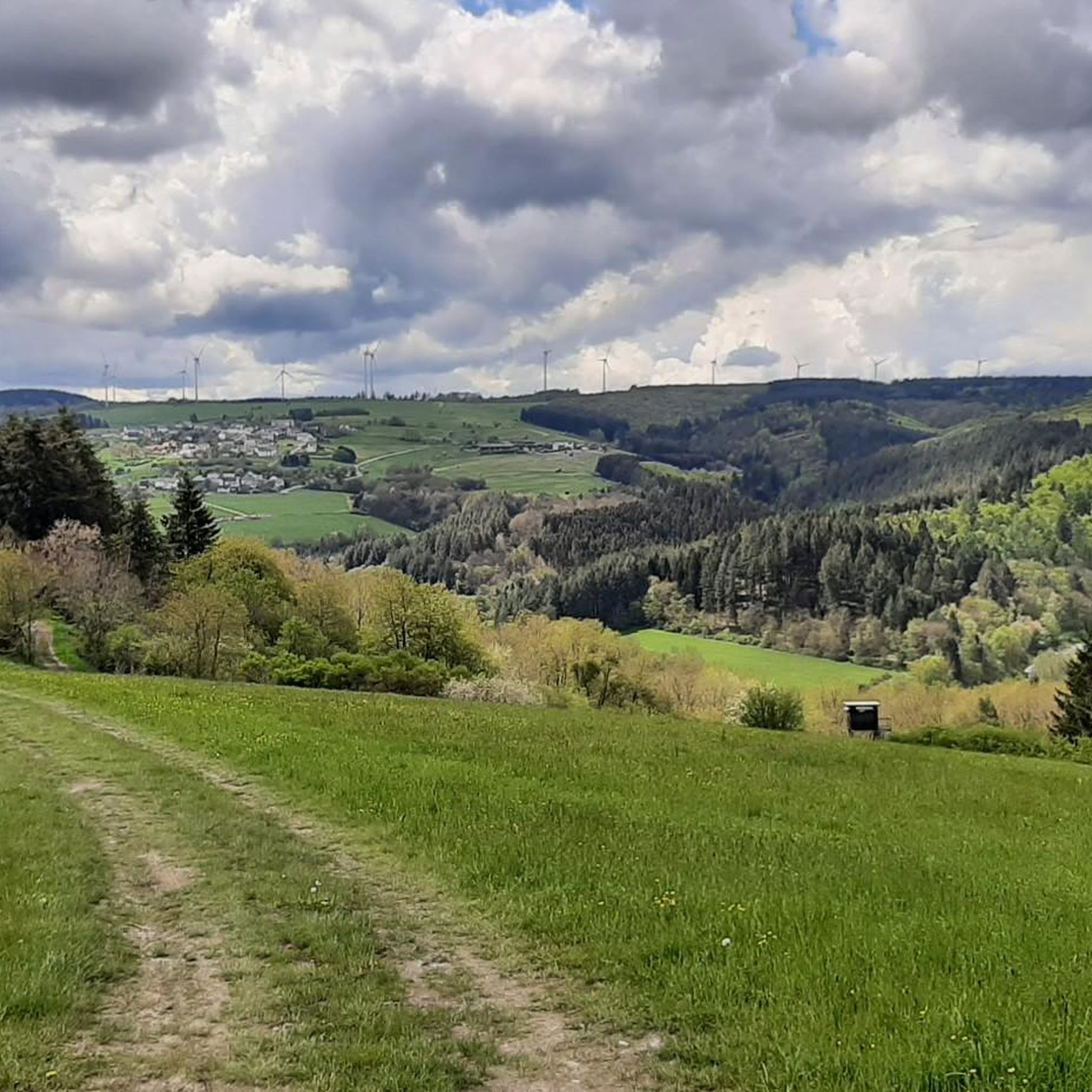
Jogging routes around Breit offer a diverse range of outdoor experiences, characterized by varied topography and scenic natural environments. The region features established running trails with different elevation gains, from easy paths suitable for any fitness level to more challenging runs. These routes often pass through natural landscapes, providing an immersive experience for runners. The area's diverse terrain makes it an appealing destination for running trails in Breit, Germany.
Best jogging routes around Breit
- The most popular jogging route is…
Last updated: October 3, 2026
5.0
(2)
22
runners
13.1km
01:35
330m
330m
Hard run. Very good fitness required. Mostly paved surfaces. Suitable for all skill levels.
26
runners
8.70km
01:04
240m
230m
Moderate run. Good fitness required. Mostly paved surfaces. Suitable for all skill levels.

7
runners
14.9km
01:53
420m
420m
Hard run. Very good fitness required. Mostly paved surfaces. Suitable for all skill levels.
5.0
(2)
14
runners
10.7km
01:13
190m
190m
Moderate run. Good fitness required. Mostly paved surfaces. Suitable for all skill levels.
10
runners
5.75km
00:36
70m
70m
Moderate run. Good fitness required. Mostly paved surfaces. Suitable for all skill levels.
Get access to more routes and recommendations from other explorers.
Already have an account?
Our route recommendations are based on thousands of hikes, rides, and runs completed by other people on komoot.
Start today with a free account
Your next adventure awaits.
Tips from the Community

Directly at the starting point of the Traumschleife Rockenburger Urwaldpfad.
0
0

Beautiful rock formations. Good for photos or to linger.
0
0

A beautiful little pond with a great fishing hut. There's plenty of parking and great wading opportunities.
0
0

This beautiful memorial cross is located right next to the road. There is also a bench under a tree where you can sit and relax
1
0

A large water treading facility invites you to 🦶relax.
0
0

Such a huge red blade of a wind turbine is very impressive
2
0

Where else do you have the opportunity to see such a rotor blade up close?
1
0

What a wonderful place to unwind
1
0
Frequently Asked Questions
How many running routes are available in Breit?
Breit offers a wide selection of running routes, with over 140 trails available for you to explore. These routes cater to various fitness levels and preferences, ensuring a diverse outdoor experience.
Are there easy jogging trails suitable for beginners in Breit?
Yes, Breit has several easy jogging routes perfect for beginners or those looking for a less strenuous run. There are 11 easy routes, often featuring gentle elevation changes and scenic paths. The region's varied topography ensures options for every fitness level.
What kind of terrain can I expect on the jogging routes around Breit?
The jogging routes around Breit feature a diverse range of terrain, from paths through woodlands and open areas to trails with varied elevation gains. You can expect scenic natural environments, with options ranging from easy, relatively flat paths to more challenging runs with significant ascents and descents.
Are there any challenging running routes for experienced runners in Breit?
Absolutely. For experienced runners seeking a challenge, Breit offers 23 difficult routes. These paths often feature significant elevation changes and cover longer distances, such as the Büdlicher Bach loop from Breit, which is 9.3 miles (15.0 km) long with substantial elevation. These routes are ideal for those looking to test their endurance.
Can I find circular running routes in Breit?
Yes, many of the running routes in Breit are designed as circular loops, offering convenient starting and ending points. Popular examples include the Running loop from Breit and the Kugelbaum Oak near Breit loop from Breit, allowing you to enjoy the scenery without retracing your steps.
What notable landmarks or viewpoints can I discover while jogging in Breit?
While jogging in Breit, you can encounter several interesting natural and cultural landmarks. The broader region features attractions like the Moselkino Viewpoint, offering panoramic views, or the historical Eselstrapp (Menhir). Some routes also pass by natural features like the Berger Wacken.
Is Breit a good destination for family-friendly running or jogging?
Breit offers several routes that can be enjoyed by families. While specific 'family-friendly' designations aren't always available, many of the easy and moderate trails with less elevation are suitable for a family outing. It's always recommended to check individual route details for distance and difficulty to ensure it meets your family's needs.
Are dogs allowed on the jogging trails in Breit?
Generally, many outdoor trails in the Breit region are dog-friendly, allowing you to bring your canine companion along for a run. However, it's always best to check local regulations or specific route descriptions for any leash requirements or restrictions that might apply to certain areas or nature reserves.
What do other runners say about the trails in Breit?
The running trails in Breit are highly regarded by the komoot community, boasting an average rating of 4.2 stars from over 150 reviews. Runners frequently praise the varied terrain, scenic natural environments, and the diverse elevation profiles that cater to different ability levels.
Are there places to rest or find refreshments along the jogging routes?
Yes, the region around Breit features several huts and rest areas that can serve as convenient spots for a break or refreshments. You might find places like the Rest area at the Finnenbahn or the Grill Hut and Rest Area Klüsserath. For more substantial options, nearby villages offer cafes and pubs.
What is the best time of year for running in Breit?
Breit offers appealing conditions for running throughout much of the year. Spring and autumn provide pleasant temperatures and vibrant scenery, while summer allows for longer daylight hours. Even winter can be suitable, though conditions may vary, and some trails might require appropriate gear due to snow or ice.
Is parking available near the running trails in Breit?
Yes, parking is generally available near the starting points of many running trails in Breit and the surrounding areas. While specific parking details vary by route, you can often find designated parking areas for hikers and runners in or near the villages and trailheads.
How can I access the jogging trails in Breit using public transport?
Public transport options to access the jogging trails in Breit depend on the specific route's location. While Breit itself is a municipality, the broader region has public transport links that can get you close to various trailheads. It's advisable to check local bus schedules or regional transport services for the most convenient access points to your chosen running route.
Most popular attractions around Breit

Get inspired with the komoot mobile app


Explore more
Browse the best Running Trails & Routes in other regions.
