The best walks and hikes around Châtenay
4.5
(106)
486
hikers
108
hikes
Hiking around Châtenay offers a variety of trails through a landscape characterized by rolling hills and rural paths. The region features moderate elevation changes, providing engaging routes for hikers. These paths often lead through open countryside, wooded areas, and fields, with some routes passing historical sites like Beauregard Castle. The network of trails is easily accessible and suitable for various skill levels.
Best hiking trails around Châtenay
- The most popular hiking route is Mount St. Cyr – Mont Saint-Cyr loop…
Last updated: July 3, 2026
4.7
(7)
19
hikers
7.32km
02:13
260m
260m
Moderate hike. Good fitness required. Easily-accessible paths. Suitable for all skill levels.
4.3
(3)
12
hikers
13.4km
04:05
450m
460m
Moderate hike. Good fitness required. Easily-accessible paths. Suitable for all skill levels.

Sign up for free
4.0
(3)
3
hikers
5.32km
01:27
70m
70m
Easy hike. Great for any fitness level. Easily-accessible paths. Suitable for all skill levels.
8
hikers
7.83km
02:24
280m
280m
Moderate hike. Good fitness required. Easily-accessible paths. Suitable for all skill levels.
5.0
(1)
3
hikers
8.33km
02:15
110m
110m
Moderate hike. Good fitness required. Easily-accessible paths. Suitable for all skill levels.
Get access to more routes and recommendations from other explorers.
Sign up for free
Already have an account?
Our route recommendations are based on thousands of hikes, rides, and runs completed by other people on komoot.
Start today with a free account
Your next adventure awaits.
Login or Signup
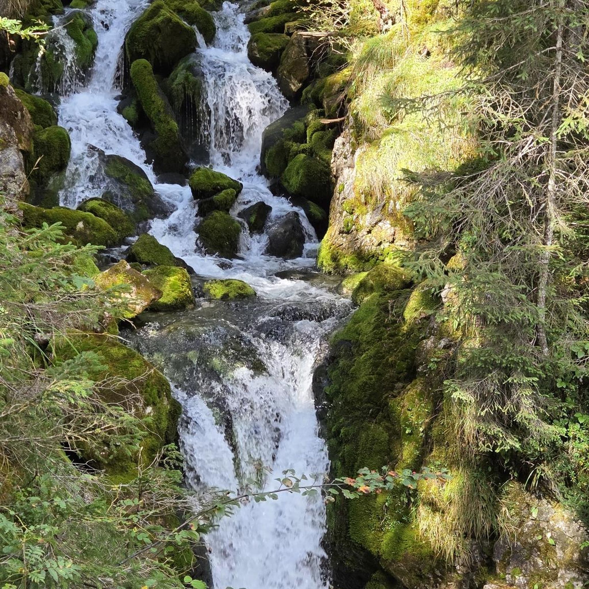
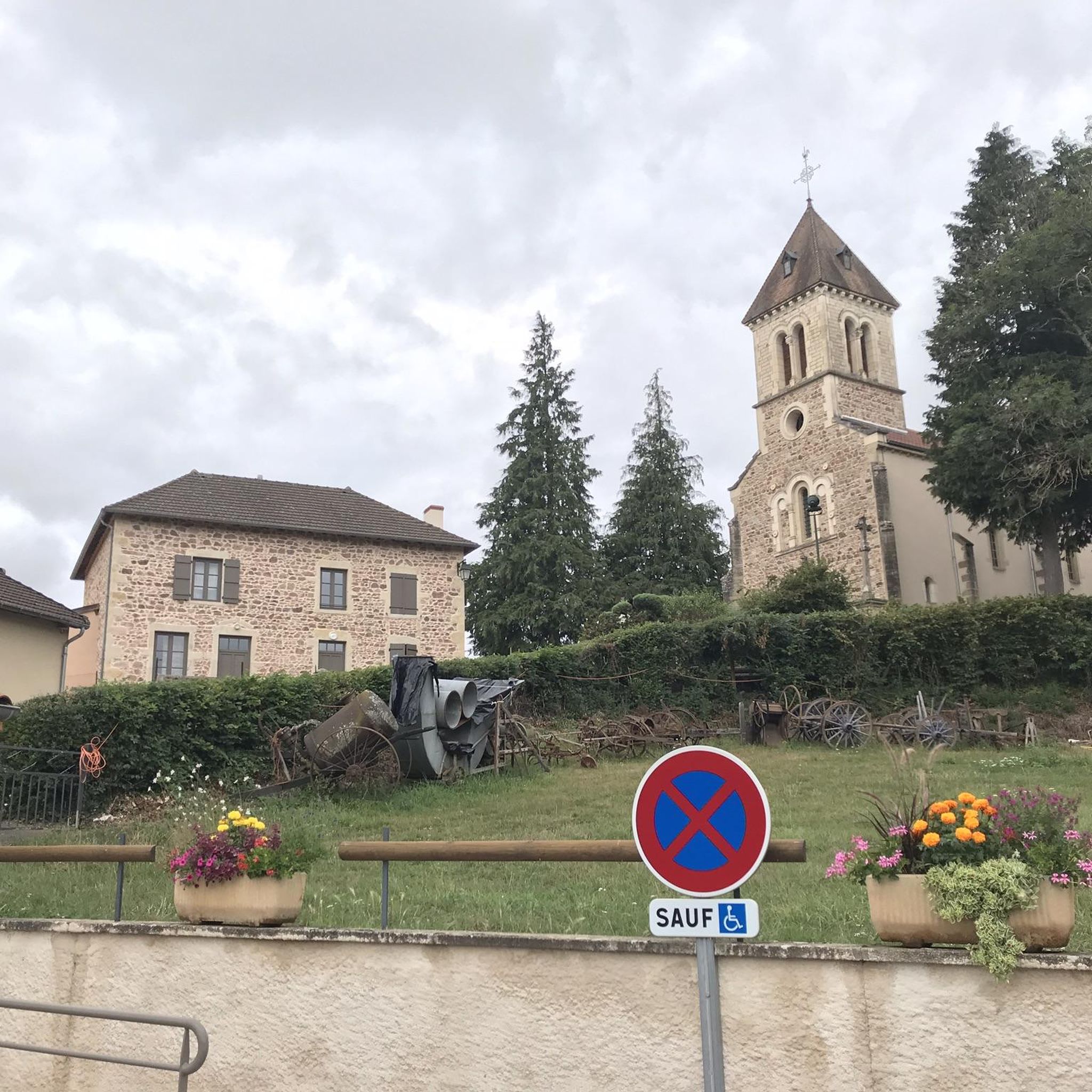
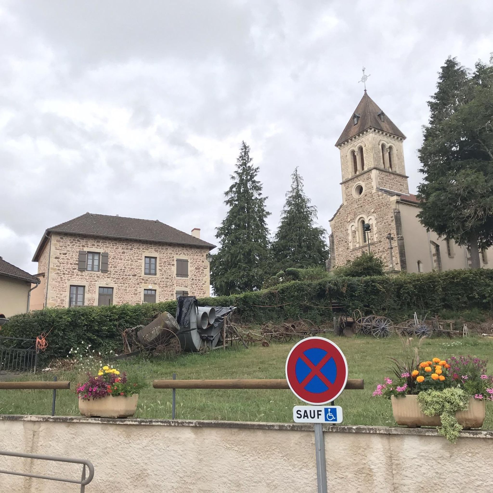
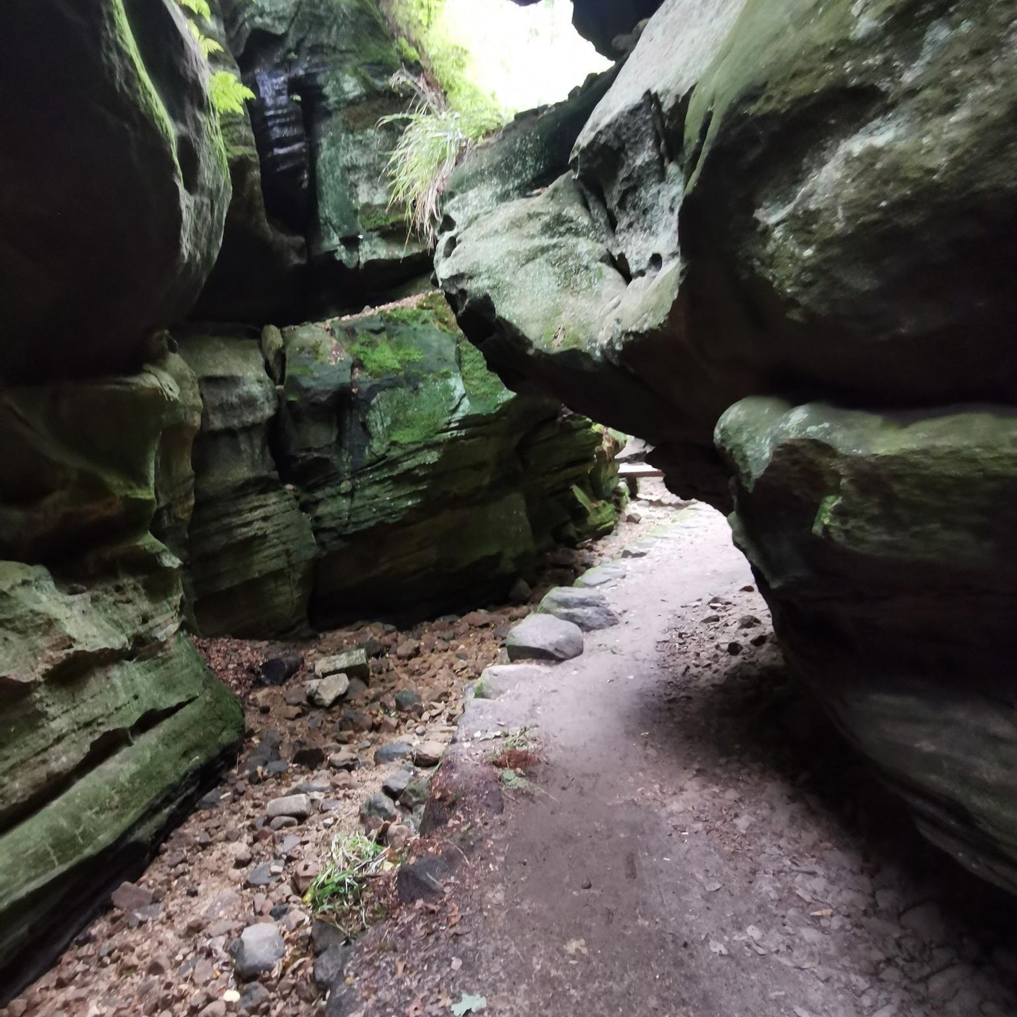
Tips from the Community

Mont Saint-Cyr is located in southern Burgundy (Saône-et-Loire department) in the municipality of Montmelard and, at 771 meters, is the highest point in the Mâconnais mountains. From the summit, there is a wide panoramic view of the surrounding landscapes of Charolais, Brionnais, and Clunisois. In very clear weather, the view extends eastwards to Mont Blanc in the Alps. On the mountain are the historical remains of a 10th-century monastery, which was destroyed during the Wars of Religion. There is a picnic area in the forest, as well as orientation panels that help identify the surrounding peaks and valleys.
0
0
Mont Saint-Cyr is located in southern Burgundy (Département Saône-et-Loire) in the municipality of Montmelard and, at 771 meters, is the highest point in the Mâconnais mountains. From the summit, there is a wide panoramic view of the surrounding landscapes of Charolais, Brionnais, and Clunisois. In very clear weather, the view to the east even extends to Mont Blanc in the Alps. On the mountain are the historical remains of a 10th-century monastery that was destroyed during the Huguenot Wars. There is a picnic area in the forest, as well as orientation panels that are helpful in identifying the surrounding peaks and valleys.
0
0
Mont Saint-Cyr is located in southern Burgundy (Saône-et-Loire department) in the municipality of Montmelard and, at 771 meters, is the highest point of the Mâconnais mountains. From the summit, there is a wide panoramic view of the surrounding landscapes of Charolais, Brionnais, and Clunisois. In very clear weather, the view extends eastwards to Mont Blanc in the Alps. On the mountain are the historical remains of a 10th-century monastery, which was destroyed during the Huguenot Wars. There is a picnic area in the forest as well as orientation panels that are helpful in identifying the surrounding peaks and valleys.
0
0

Mont Saint-Cyr 771 m, the highest point in the Mâconnais mountains with a superb view.
1
0


Great walk. Beautiful view with picnic tables and tap with drinking water. However, NOT an easy walk. You must be able to walk well.
0
0

Impressive views over southern Burgundy and Haut-Beaujolais
1
0
Frequently Asked Questions
How many hiking trails are available around Châtenay?
There are over 100 hiking routes around Châtenay, offering a wide range of options for different skill levels. You'll find trails through rolling hills, open countryside, and wooded sections.
Are there easy hiking trails suitable for beginners in Châtenay?
Yes, Châtenay offers 25 easy routes. These trails typically feature gentler terrain and shorter distances, perfect for those new to hiking or looking for a relaxed walk.
Can I find circular walks in the Châtenay area?
Many routes around Châtenay are circular, allowing you to start and end your hike at the same point. For example, the Mount St. Cyr – Mont Saint-Cyr loop from Montmelard is a popular circular option.
What kind of terrain can I expect on hikes around Châtenay?
The hiking trails around Châtenay are characterized by rolling hills, open countryside, and wooded areas. You can expect moderate elevation changes, providing engaging routes without overly strenuous climbs.
What are some notable landmarks or attractions to see while hiking in Châtenay?
While hiking, you might encounter several interesting points. Highlights include the summits of Mount Dun and Mount St. Cyr, offering panoramic views. You can also spot historical sites like the View of Château de La Clayette and Drée Castle.
Are there family-friendly hiking options in Châtenay?
Yes, with 25 easy routes available, many are suitable for families. These trails often feature manageable distances and gentle ascents, making them enjoyable for children and adults alike. Look for routes with shorter durations and less elevation gain.
What do other hikers say about the trails in Châtenay?
The trails in Châtenay are highly rated by the komoot community, with an average score of 4.5 stars from over 90 reviews. Hikers often praise the varied terrain, from open fields to quiet woodlands, and the well-maintained paths.
What is the typical length and duration of hikes in Châtenay?
Hikes in Châtenay vary in length. For example, a moderate route like the Mount St. Cyr – Mont Saint-Cyr loop from Les Terres is about 4.5 miles (7.3 km) and takes around 2 hours 13 minutes. Longer options, such as the Moulin du Palais loop from Gibles, can be up to 6.5 miles (10.5 km) and take nearly 3 hours.
Are there any longer, more challenging hikes for experienced hikers?
Yes, for those seeking a greater challenge, there are 8 difficult routes available. An example is the Mount Saint-Cyr – Mont Saint-Cyr loop from Montmelard, which covers over 10 miles (16 km) and includes significant elevation gain, typically taking around 5 hours to complete.
Is Châtenay a good destination for autumn hikes?
Châtenay's wooded sections and open countryside make it an excellent choice for autumn hikes. The changing foliage provides beautiful scenery, and the moderate terrain is enjoyable in cooler temperatures. Many routes offer picturesque views of the seasonal landscape.
Are there opportunities to see wildlife while hiking in Châtenay?
The rural and wooded areas around Châtenay provide habitats for various local wildlife. While specific sightings are never guaranteed, hikers often report seeing birds, small mammals, and insects, especially on quieter trails through the forests and fields.
Are there any hidden gem hikes or less-trafficked trails in Châtenay?
With over 100 routes, many trails in Châtenay offer a sense of tranquility away from crowds. Exploring some of the less-known local loops, such as the Mount Dun – Mussy-sous-Dun Viaduct loop from Saint-Racho, can lead you to peaceful natural settings and charming rural landscapes.
Most popular attractions around Châtenay

Get inspired with the komoot mobile app


Explore more
Browse the best Hikes in other regions.
