The best MTB trails around Curbigny
4.6
(30)
80
riders
34
rides
Mountain bike trails around Curbigny offer access to varied terrain, serving as a gateway to the Morvan Regional Natural Park. The region is characterized by a mosaic of forests, coombes, and rolling hills, with rivers and deep valleys shaping the landscape. This diverse topography provides a range of mountain biking experiences. Plateaus and extensive trail networks are accessible from Curbigny, catering to different skill levels.
Best mountain bike trails around Curbigny
- The most popular mountain bike trail is Mount Saint-Cyr…
Last updated: July 1, 2026
4.3
(3)
6
riders
19.8km
01:51
500m
500m
Moderate mountain bike ride. Good fitness required. Suitable for all skill levels.
5.0
(1)
5
riders
32.0km
02:23
500m
500m
Moderate mountain bike ride. Good fitness required. Suitable for all skill levels.

Sign up for free
5.0
(1)
6
riders
43.4km
04:12
1,080m
1,080m
Hard mountain bike ride. Very good fitness required. Advanced riding skills necessary.
5.0
(2)
3
riders
28.2km
02:30
610m
610m
Moderate mountain bike ride. Good fitness required. Suitable for all skill levels.
5
riders
46.5km
04:33
1,250m
1,250m
Hard mountain bike ride. Very good fitness required. Advanced riding skills necessary.
Get access to more routes and recommendations from other explorers.
Sign up for free
Already have an account?
Our route recommendations are based on thousands of hikes, rides, and runs completed by other people on komoot.
Start today with a free account
Your next adventure awaits.
Login or Signup

Tips from the Community

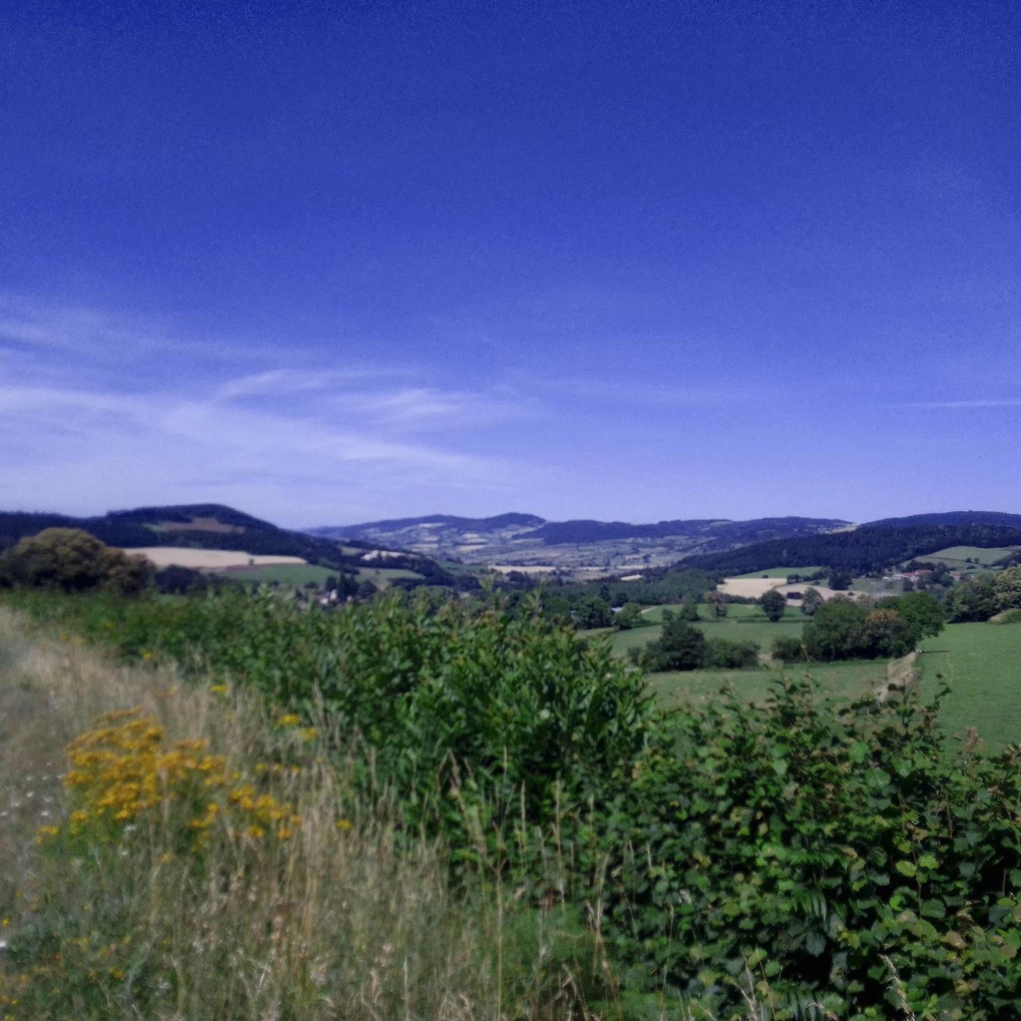
Mont Saint-Cyr is located in southern Burgundy (Département Saône-et-Loire) in the municipality of Montmelard and, at 771 meters, is the highest point in the Mâconnais mountains. From the summit, there is a wide panoramic view of the surrounding landscapes of Charolais, Brionnais, and Clunisois. In very clear weather, the view to the east even extends to Mont Blanc in the Alps. On the mountain are the historical remains of a 10th-century monastery that was destroyed during the Huguenot Wars. There is a picnic area in the forest, as well as orientation panels that are helpful in identifying the surrounding peaks and valleys.
0
0
Mont Saint-Cyr is located in southern Burgundy (Saône-et-Loire department) in the municipality of Montmelard and, at 771 meters, is the highest point of the Mâconnais mountains. From the summit, there is a wide panoramic view of the surrounding landscapes of Charolais, Brionnais, and Clunisois. In very clear weather, the view extends eastwards to Mont Blanc in the Alps. On the mountain are the historical remains of a 10th-century monastery, which was destroyed during the Huguenot Wars. There is a picnic area in the forest as well as orientation panels that are helpful in identifying the surrounding peaks and valleys.
0
0


Great walk. Beautiful view with picnic tables and tap with drinking water. However, NOT an easy walk. You must be able to walk well.
0
0

Impressive views over southern Burgundy and Haut-Beaujolais
1
0

Bois-Sainte-Marie experienced a commercial boom from the 11th century. It once had a wall and became a royal castellany at the end of the 12th century. Its Romanesque church dates from the 11th century. The building occupied today by a retirement home was an asylum and orphanage which in the 19th century accommodated 60 old people and 100 orphans.
0
0

A very steep climb from Montmelard, not much fun by bike. View is good, best very early or in the evening.
1
0

This summit houses a chapel, but it was previously a strong defensive position. From the Arab invasions in 730 to the successive Norman and Hungarian invasions, this stronghold has resisted. It was not until 1180 that the fortress fell into the hands of King Philippe Auguste, who destroyed it but spared the chapel. The summit offers magnificent views.
3
0
Frequently Asked Questions
How many mountain bike trails are available around Curbigny?
There are over 30 mountain bike trails around Curbigny, offering a diverse range of experiences. These routes provide access to the varied terrain of the Morvan Regional Natural Park, characterized by forests, coombes, and rolling hills.
What types of mountain bike trails can I find near Curbigny?
The trails near Curbigny cater to various skill levels. You'll find 2 easy routes, 26 moderate routes, and 3 difficult routes. This variety ensures options for beginners, intermediate riders, and those seeking a more challenging adventure through the region's diverse landscapes.
Are there any family-friendly mountain bike trails around Curbigny?
Yes, there are a couple of easy mountain bike trails around Curbigny that are suitable for families. These routes offer a gentler introduction to the region's natural beauty, often traversing less demanding terrain within the Morvan Regional Natural Park.
What are some of the longer mountain bike routes near Curbigny?
For those looking for longer rides, consider routes like the Montrouant Castle – Mount St. Cyr loop from Gibles, which spans nearly 49 km and is classified as difficult. Another challenging option is the Montmelard – View of Matour loop from Saint-Racho, covering over 32 km.
What do other mountain bikers enjoy most about the trails in Curbigny?
The mountain bike trails around Curbigny are highly rated by the komoot community, with an average score of 4.6 stars from over 27 reviews. Riders often praise the varied terrain, which includes dense forests, rolling hills, and deep valleys, providing a rewarding experience for different ability levels.
Are there any circular mountain bike routes in the Curbigny area?
Yes, many of the mountain bike trails around Curbigny are designed as loops, allowing you to start and finish at the same point. For example, the Mount Saint-Cyr – Mount St. Cyr loop from Gibles is a popular 19.7 km circular route that takes you through rolling hills and forest paths.
What kind of terrain can I expect on mountain bike trails near Curbigny?
The terrain around Curbigny, especially within the Morvan Regional Natural Park, is very diverse. You can expect to ride through forests, coombes, vineyards, vast valleys, and rolling hills. This mosaic of rivers, deep valleys, and plateaus provides an ideal setting for mountain biking, from moderate paths to more challenging routes.
What are some notable landmarks or attractions I can see while mountain biking near Curbigny?
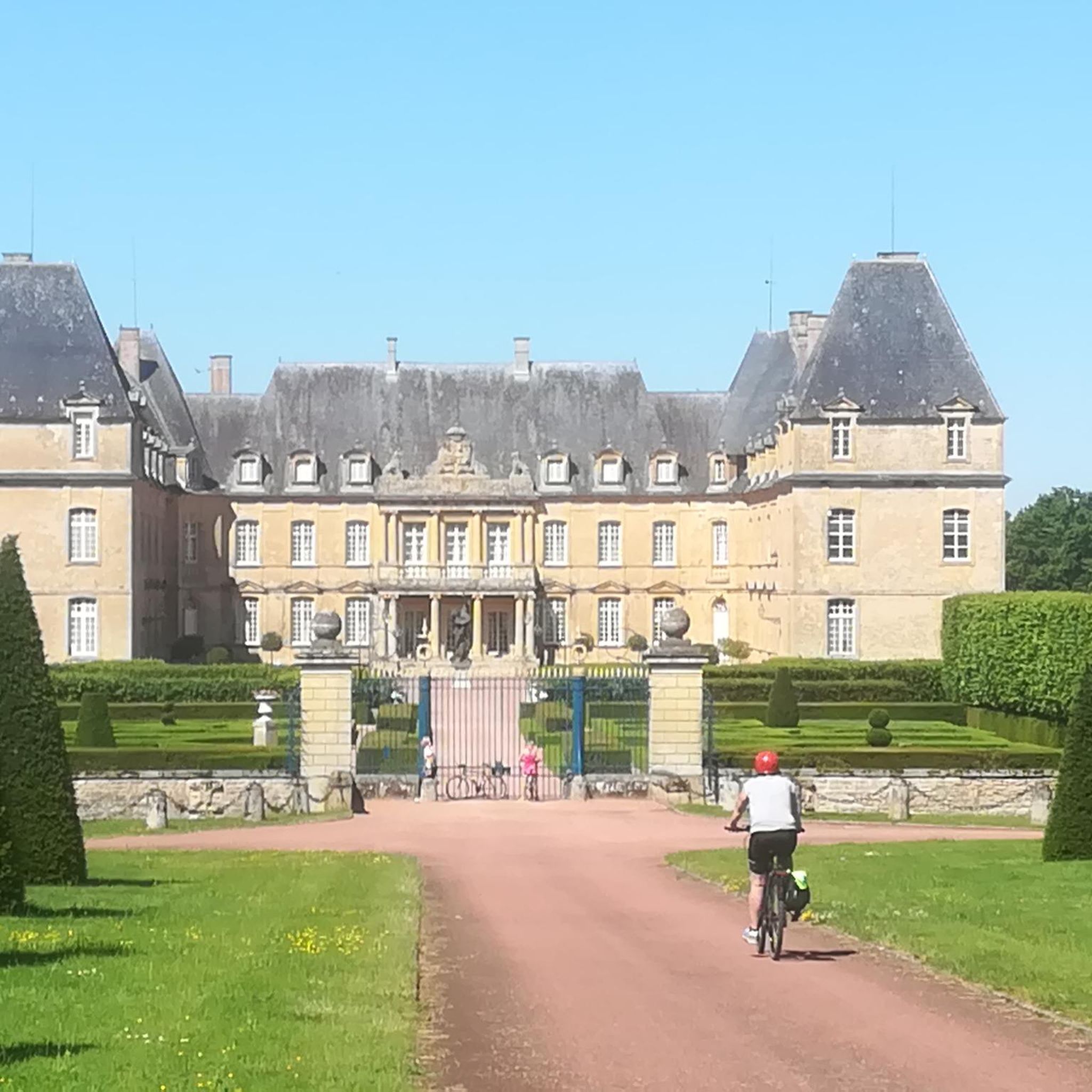
While exploring the trails, you might encounter several interesting landmarks. For instance, you could pass by Drée Castle or enjoy views of Château de La Clayette. The area also features natural high points like Mount Dun and Mount St. Cyr, offering scenic viewpoints.
Is the Morvan Regional Natural Park accessible from Curbigny for mountain biking?
Yes, Curbigny serves as an excellent gateway to the Morvan Regional Natural Park, which is the primary draw for mountain biking in the area. The park offers an extensive network of trails, from family-friendly discovery sections to highly technical routes, making it a prime destination for outdoor enthusiasts.
Are there any specific challenging mountain bike trails for experienced riders?
Experienced riders seeking a challenge can find difficult routes, such as the Montrouant Castle – Mount St. Cyr loop from Gibles, which features significant elevation changes. The Breuil-Chenue Forest within the Morvan Regional Natural Park is also known for its steep downhill trails, offering thrilling descents.
What is the typical duration for mountain bike trails around Curbigny?
The duration of mountain bike trails around Curbigny varies significantly based on distance and difficulty. Moderate routes like the Gibles Boules Court – Montrouant Castle loop from Gibles, which is 28.2 km, typically take around 2 hours 30 minutes. Longer, more difficult routes can take considerably longer, up to several hours.
Can I find mountain bike trails with good viewpoints near Curbigny?
Absolutely. The varied topography of the region, including rolling hills and summits, provides numerous opportunities for scenic viewpoints. Trails often lead to elevated spots like Mount Dun and Mount St. Cyr, offering panoramic views of the surrounding Burgundy landscape.
Most popular attractions around Curbigny

Get inspired with the komoot mobile app


Explore more
Browse the best MTB trails in other regions.
