The best mountain hikes around Musweiler
5.0
(75)
326
hikers
1
hike
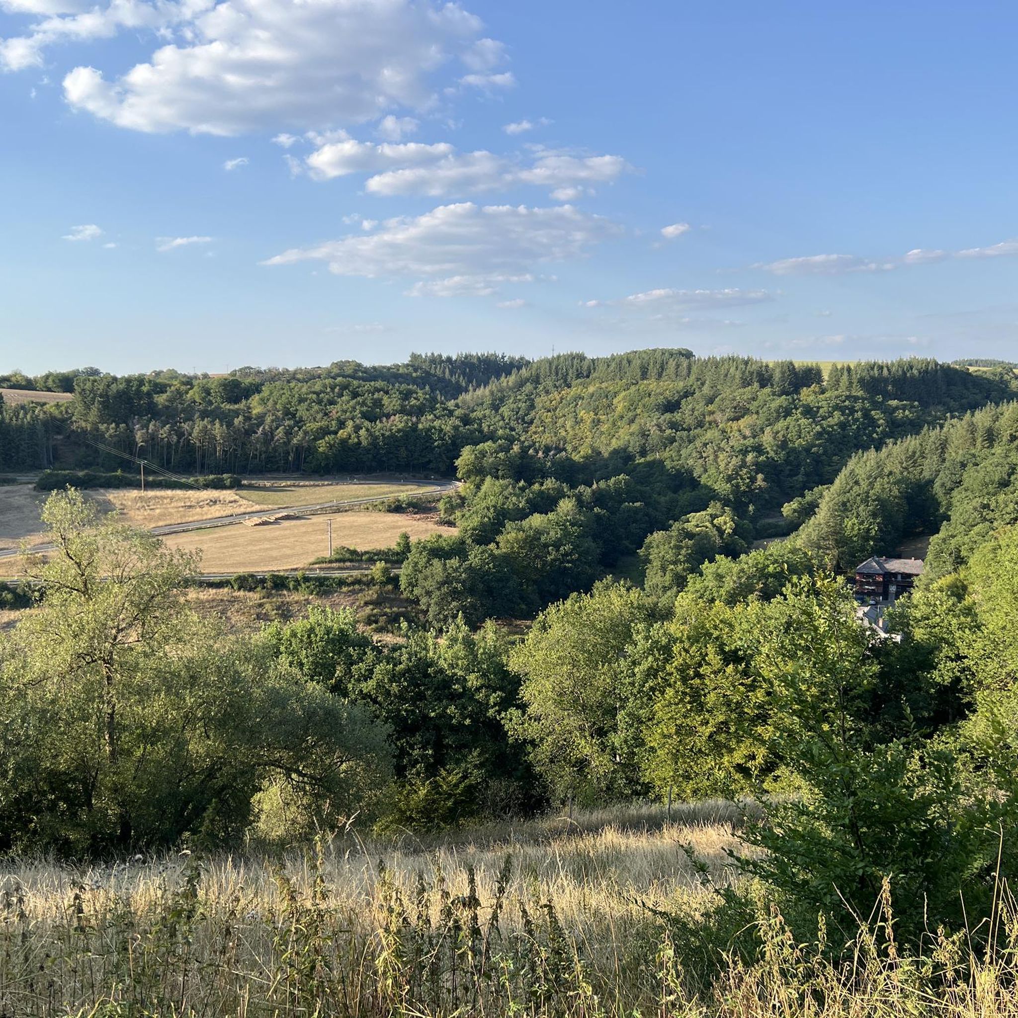
Mountaineering routes around Musweiler are set within Germany's Mosel-Saar-Ruwer region, characterized by rolling hills, extensive vineyards, and river valleys. The landscape features diverse terrain, including dense forests and elevated points offering panoramic vistas. While not high-alpine, the area provides challenging outdoor experiences through its varied topography.
Best mountaineering routes around Musweiler
- The most popular mountaineering route is Wäschebach Suspension Bridge – Keep of Oberburg Castle loop from Manderscheid, a 3.3 miles (5.3 km) trail that takes 1 hour 45…
Last updated: September 29, 2026
4.9
(69)
286
hikers
Hard mountaineering route. Great for any fitness level. Sure-footedness, sturdy shoes and alpine experience required.
5.0
(5)
28
hikers
Hard mountaineering route. Great for any fitness level. Sure-footedness, sturdy shoes and alpine experience required.

7
hikers
Hard mountaineering route. Great for any fitness level. Sure-footedness, sturdy shoes and alpine experience required.
5.0
(1)
3
hikers
Moderate mountaineering route. Good fitness required. Easily-accessible paths. Suitable for all skill levels.
2
hikers
10.7km
03:10
300m
300m
Moderate mountaineering route. Good fitness required. Mostly accessible paths. Sure-footedness required.
Our route recommendations are based on thousands of hikes, rides, and runs completed by other people on komoot.
Start today with a free account
Your next adventure awaits.
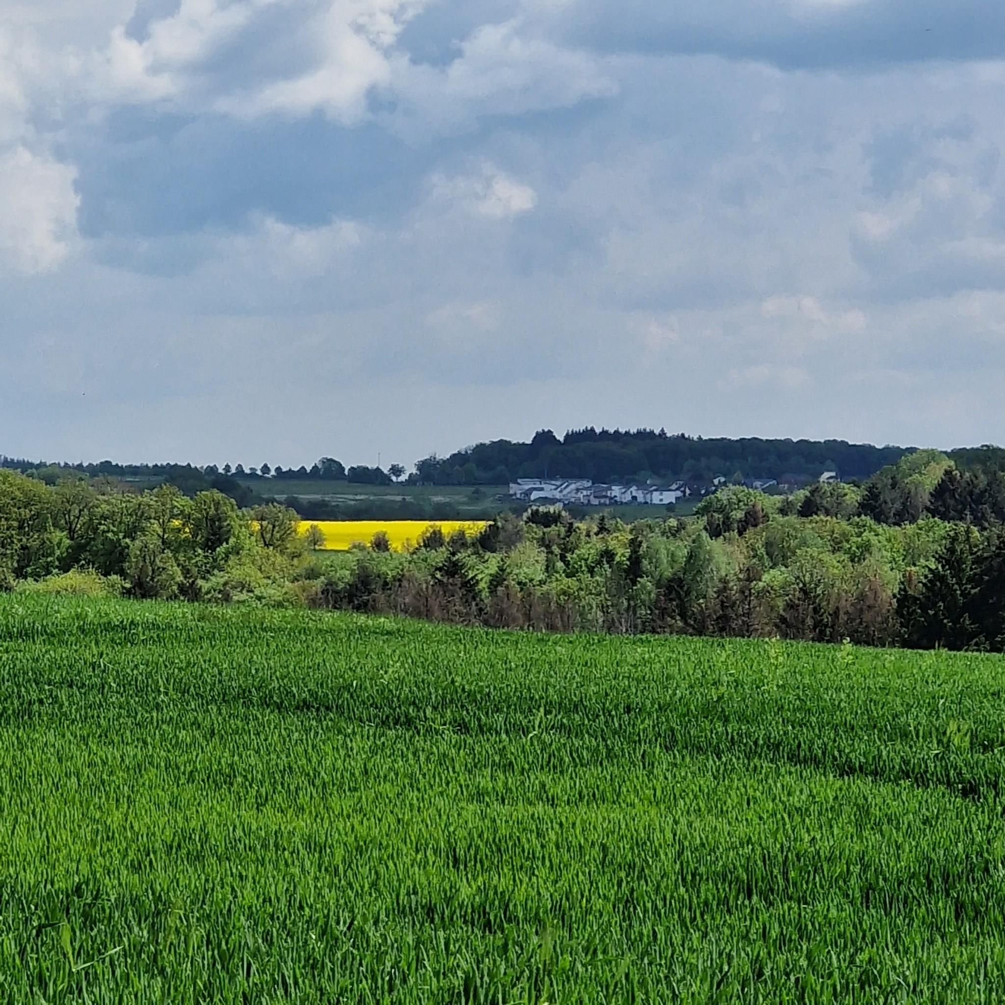
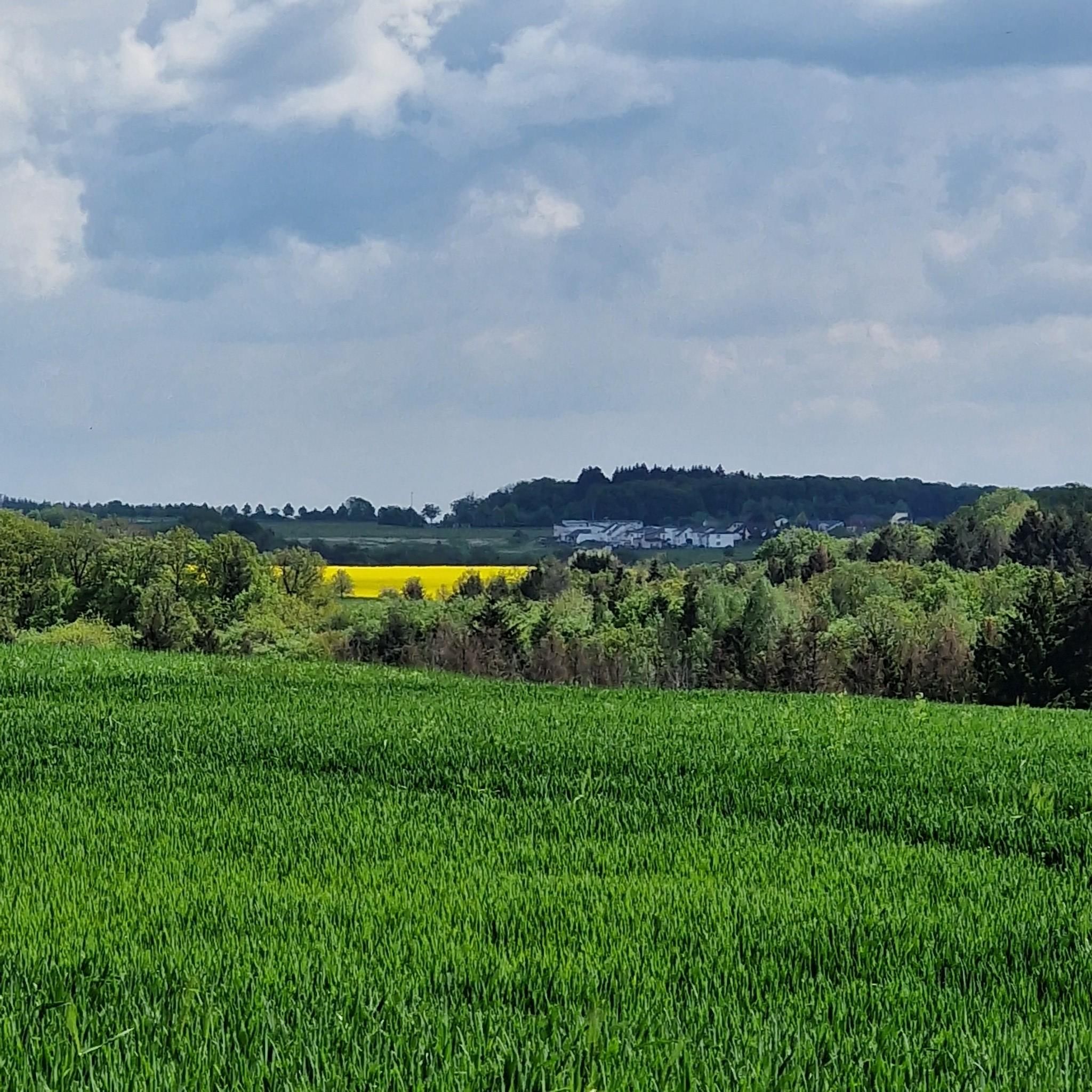
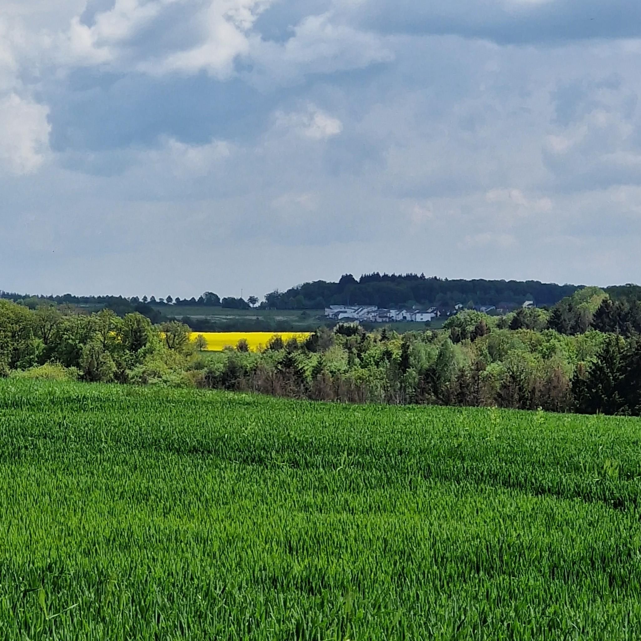
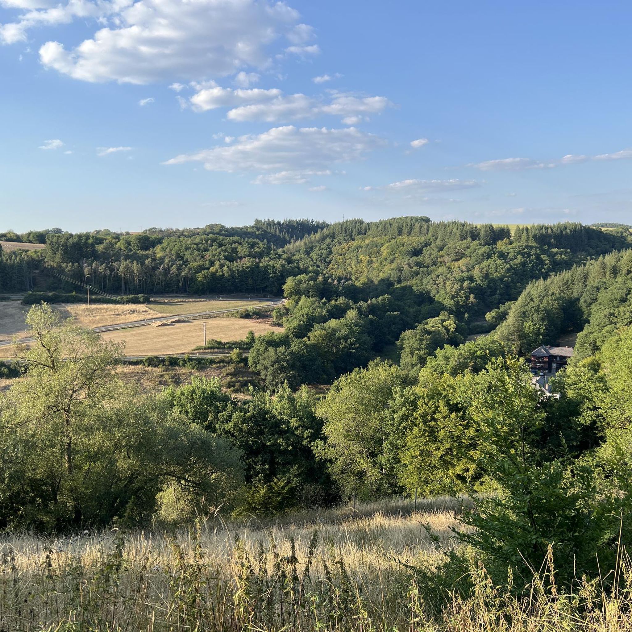
Tips from the Community

Pace yourself well if you are a beginner! Possibly don't do all 3 stages. Otherwise TIP: Start early! I always leave at 6, half past 6. Then there are still few people. Afterwards it quickly gets crowded. This way you are alone at the summit around 10 am with your well-deserved summit beer and can enjoy the sunrise along the way. Pure Eifel! 🌄
0
0
Perfect trail with various difficulties, there is something for everyone. Best to start veeery early! I always set off at 6, half past 6, because later it's always hellish. Unfortunately, it's slowly becoming a bit overcrowded, but in the early morning it's still "pure Eifel": the rushing of the Lieser, fog, tranquility and simply perfect climbing fun! That way, you're alone at the summit for a summit beer after all 3 stages by 10 am 🌄🤝📯
0
0

A great river with lots of nature and a lot of (earth) history.
0
0
A lovely hike, mindfulness trail, small Kyle, bridge, and then on to Heidsmühle for a wheat beer. Wonderful in summer, also a great way to cool off!
1
0

…a great challenging via ferrata in 3 stages with difficulties A - D along above the Lieser
1
0

This is where real climbers come into their own. But that wasn't part of our route.
0
0


Different perspectives on the castles
0
0
Frequently Asked Questions
How many mountaineering routes are available around Musweiler?
While the guide highlights a selection of top routes, the Musel-Saar-Ruwer region around Musweiler offers a vast network of trails. Komoot currently lists over 670 mountaineering tours in the area, providing a wide range of options for exploration.
What is the typical difficulty level of mountaineering routes in Musweiler?
The routes around Musweiler cater to various skill levels. You'll find a mix of moderate and difficult trails. For instance, the Whirlpools of the Kleine Kyll – Windsborn Crater summit loop from Manderscheid is a moderate option, while the Public Restroom at Tunierwiese – Keep of Oberburg Castle loop from Manderscheid presents a more difficult challenge.
Are there any circular mountaineering routes in the Musweiler area?
Yes, many of the mountaineering routes around Musweiler are designed as circular paths, allowing you to start and end at the same point. Examples include the Keep of Oberburg Castle loop from Manderscheid and the Philosopheneck loop from Manderscheid, which offer diverse landscapes and scenic views.
What kind of natural attractions can I expect to see along the routes?
The region is rich in natural beauty. Along your mountaineering routes, you might encounter features like the dramatic Wolfsschlucht (Vulkaneifel), the unique Whirlpools of the Kleine Kyll, and impressive Basalt Columns in Wolfsschlucht. The diverse landscape includes dense forests, river valleys, and vineyards.
Are there historical landmarks or castles to explore near the trails?
Absolutely! The Musweiler area is dotted with historical sites. You can explore the ruins of Manderscheid Upper Castle and Manderscheid Lower Castle, which often feature prominently on routes. Other notable sites include Bruch Castle and the ancient Celtic Fortress Wachenbach.
What is the best time of year for mountaineering in Musweiler?
The Mosel-Saar-Ruwer region is beautiful year-round. Spring and autumn offer pleasant temperatures and vibrant scenery, with blooming vineyards or colorful foliage. Summer is also popular, though some routes might be warmer. Even in winter, the area offers options, including nearby skiing at Erbeskopf, though traditional mountaineering might be limited to lower elevations.
What do other mountaineers say about the routes around Musweiler?
The routes in Musweiler are highly regarded by the komoot community, boasting an average rating of 4.9 stars from over 140 reviews. Users frequently praise the varied terrain, the stunning panoramic views, and the well-maintained paths that lead through forests, vineyards, and along rivers.
Are there options for family-friendly mountaineering or hiking?
While some routes are challenging, the broader region offers a variety of trails suitable for families. Look for shorter, less strenuous paths along the Moselle River or through the gentler parts of the Eifel. The diverse landscape ensures there are options for all ages and fitness levels, though specific 'family-friendly mountaineering' routes might require careful selection based on length and elevation.
Are there any cafes or pubs near the mountaineering routes in Musweiler?
Yes, the Mosel-Saar-Ruwer region is known for its hospitality. Many towns and villages along the routes, especially those near popular trailheads or scenic points, offer cafes, restaurants, and traditional pubs where you can refuel and relax after your hike. Manderscheid, for example, is a good starting point with amenities.
Do I need any special permits for mountaineering in the Musweiler area?
Generally, no special permits are required for hiking or mountaineering on the public trails around Musweiler. The trails are freely accessible. However, always respect private property, follow local regulations, and stay on marked paths to protect the natural environment.
Is it possible to reach the mountaineering routes by public transport?
The Mosel-Saar-Ruwer region has a public transport network, including buses and regional trains, that connects many towns and villages. While some trailheads might be directly accessible, others may require a short walk or a local bus connection from a larger transport hub. It's advisable to check local bus schedules for specific route access points.
What are some notable long-distance trails that pass through or near Musweiler?
The wider region is home to renowned long-distance trails. The Moselsteig Trail, a 365-kilometer path, follows the Moselle River through vineyards and past castles, offering stages accessible from the area. The Eifelsteig, another significant trail, also passes through the broader Eifel region, providing varied and natural terrain for experienced hikers.
Most popular attractions around Musweiler

Get inspired with the komoot mobile app


Explore more
Browse the best Mountain Hikes & Routes in other regions.
