The best running trails around Niederscheidweiler
4.4
(228)
3,152
runners
261
runs
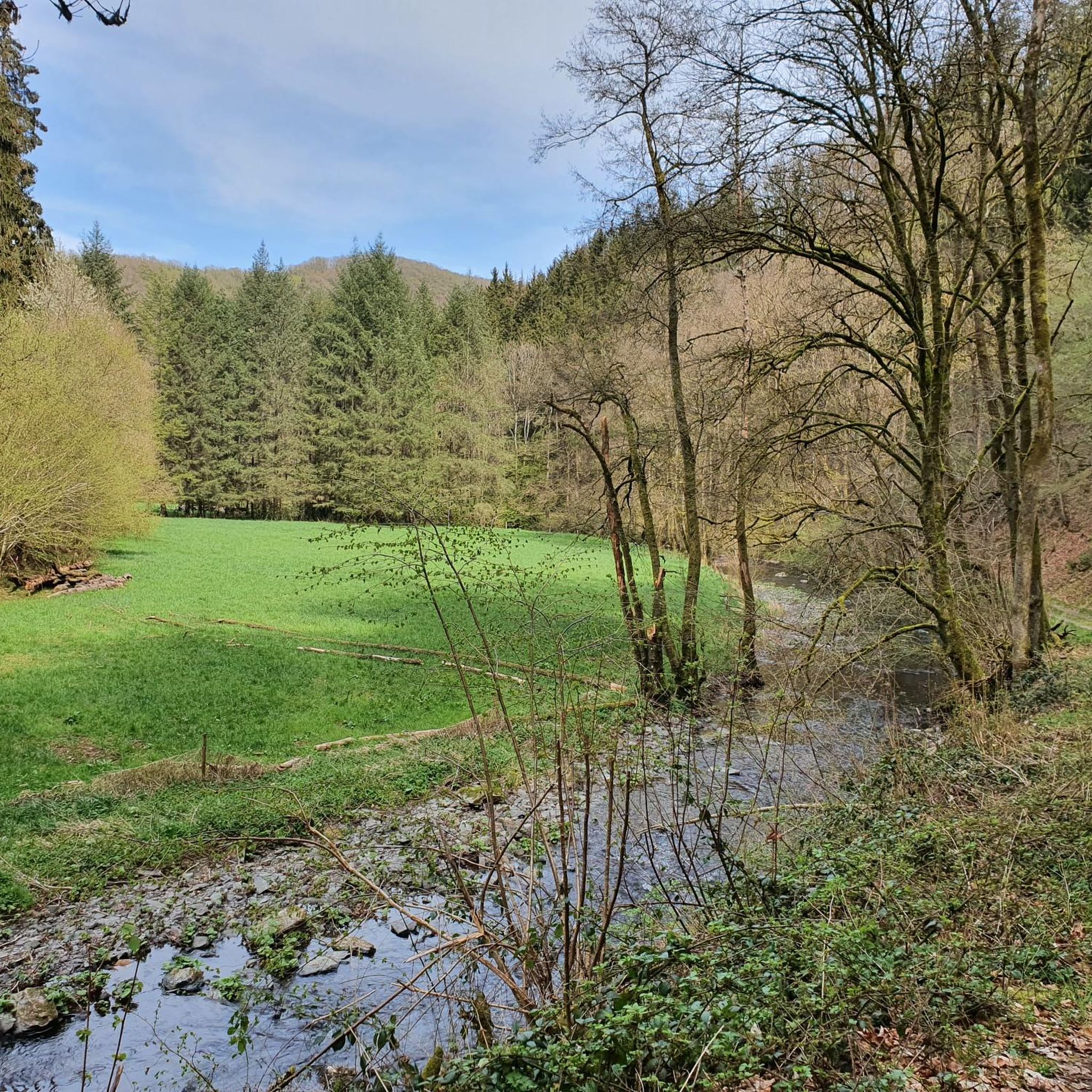
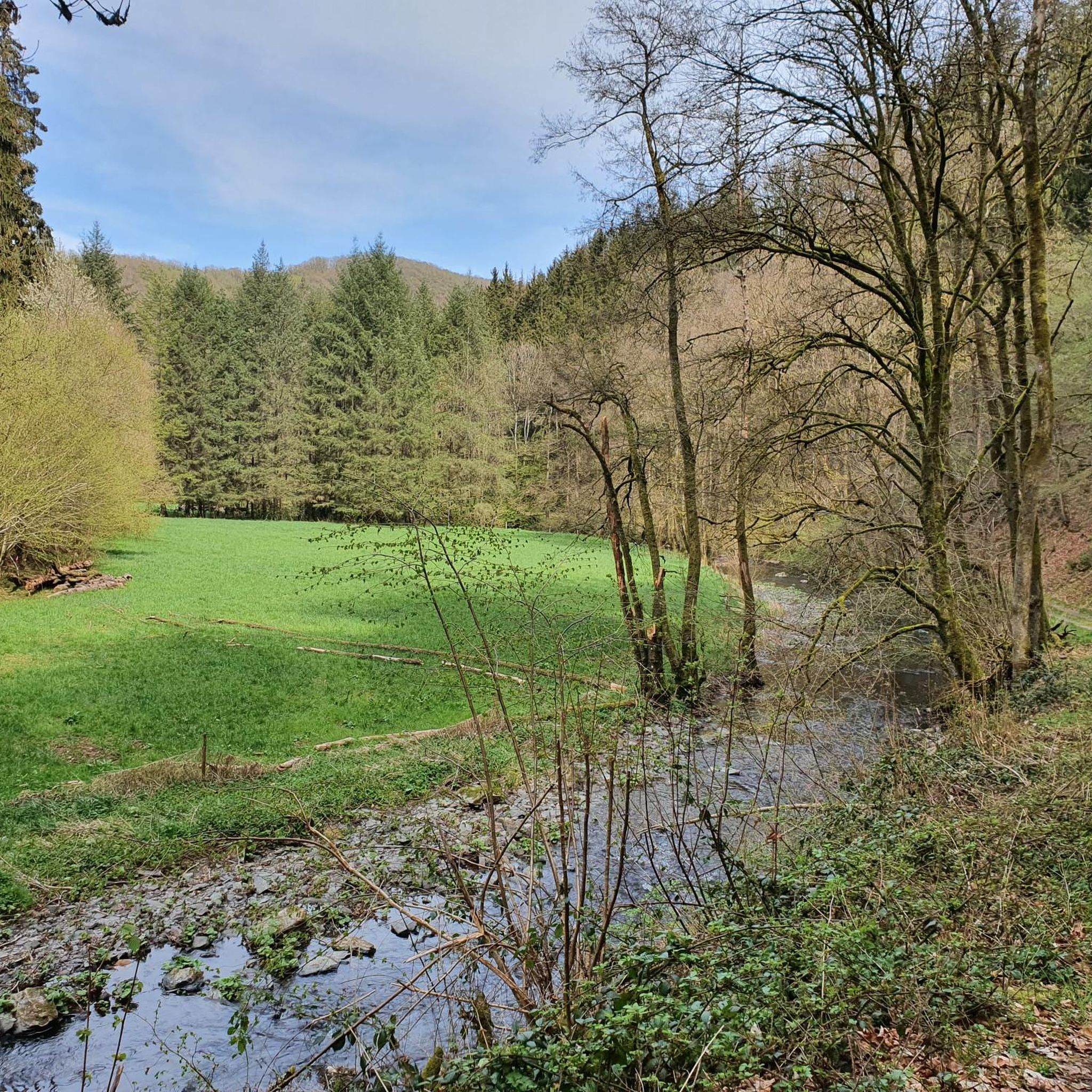
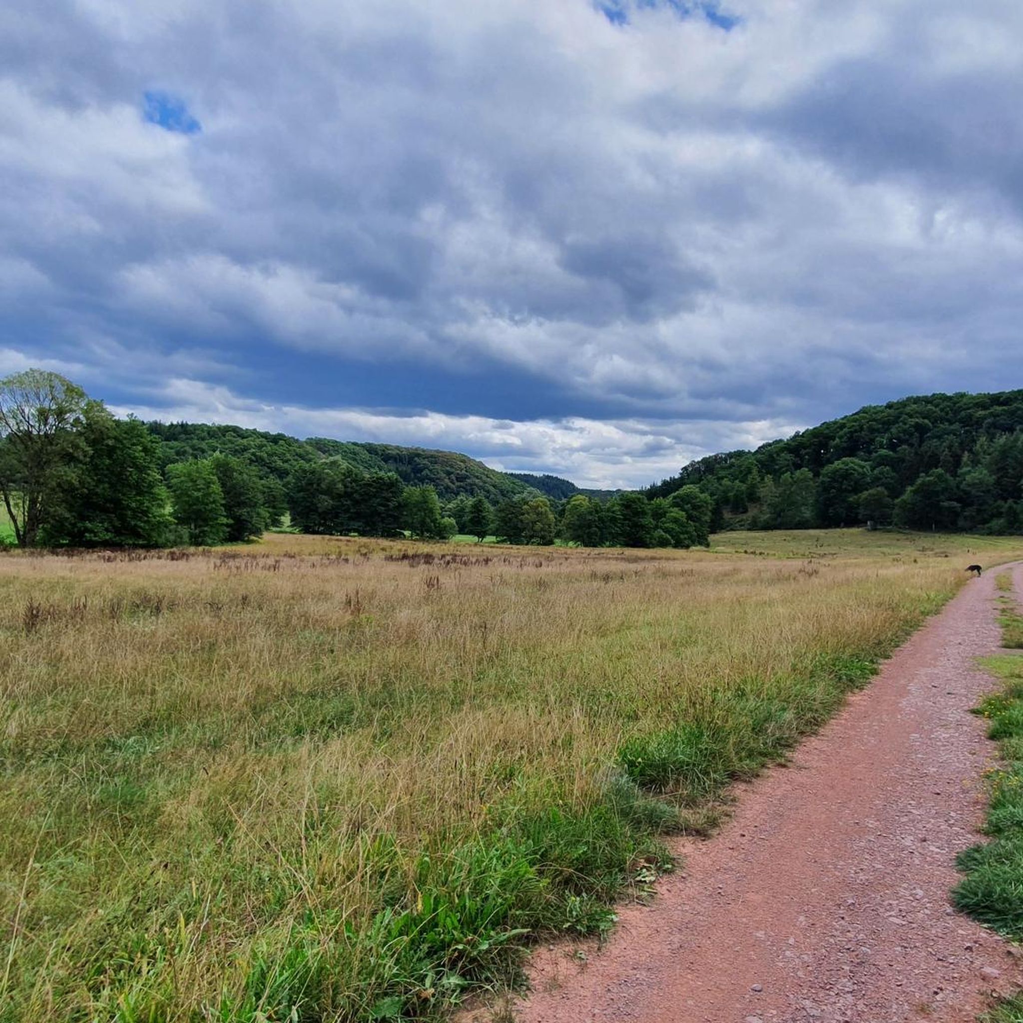
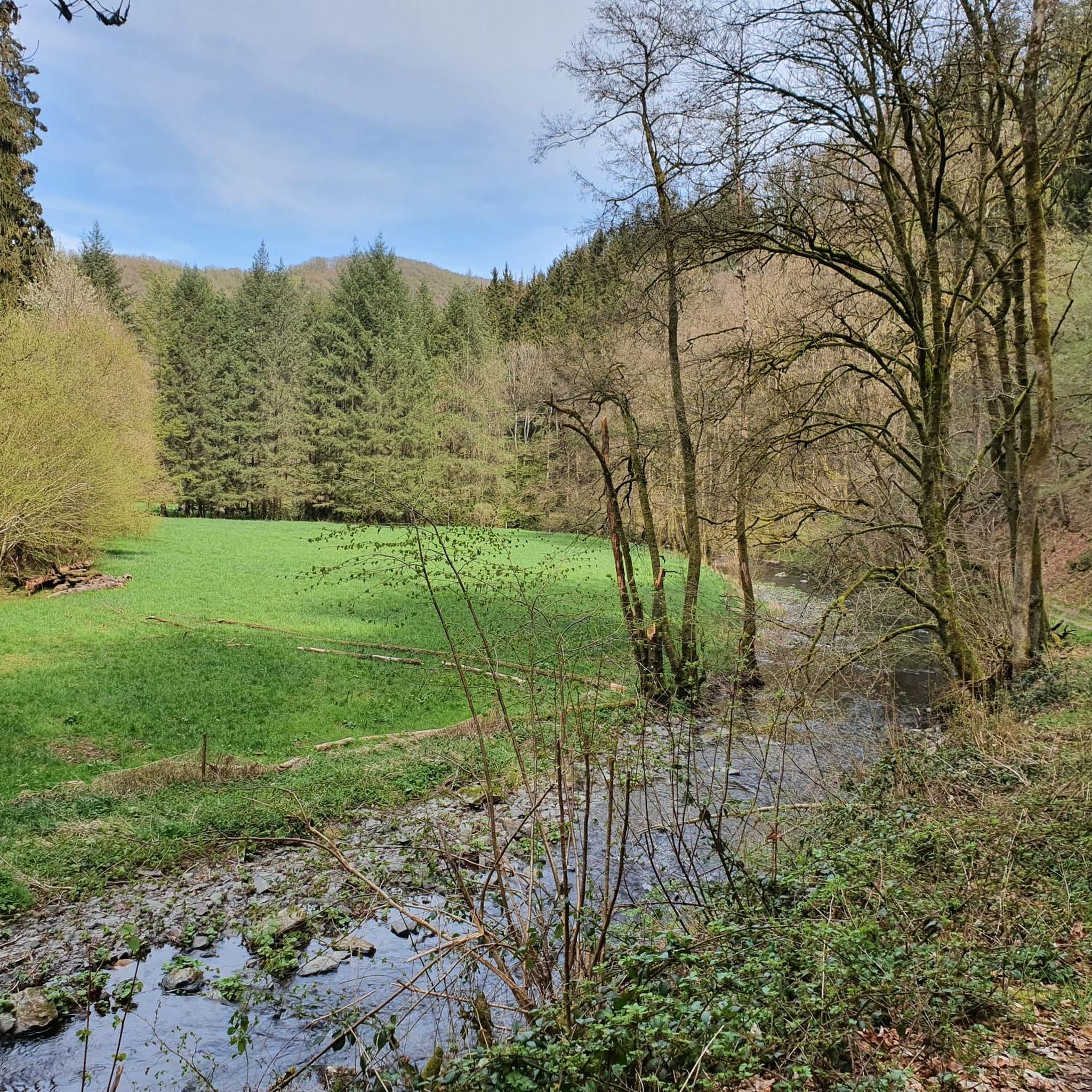
Jogging around Niederscheidweiler offers a diverse outdoor experience within the Eifel region. The landscape is characterized by a mix of volcanic hills, dense forests, and picturesque stream valleys, providing varied terrain for running. This area is part of the Vulkaneifel Geopark, featuring unique volcanic origins that contribute to both challenging and scenic running routes. Extensive trail networks cater to a range of abilities, from gentle paths to more demanding ascents.
Best jogging routes around Niederscheidweiler
- The most popular jogging route…
Last updated: July 13, 2026
11
runners
14.2km
01:33
250m
250m
Moderate run. Good fitness required. Mostly paved surfaces. Suitable for all skill levels.
4.8
(4)
6
runners
6.75km
00:44
120m
120m
Moderate run. Good fitness required. Mostly paved surfaces. Suitable for all skill levels.

Sign up for free
4.0
(1)
5
runners
5.33km
00:34
90m
80m
Moderate run. Good fitness required. Mostly paved surfaces. Suitable for all skill levels.
5
runners
10.6km
01:07
120m
120m
Moderate run. Good fitness required. Mostly paved surfaces. Suitable for all skill levels.
7
runners
9.29km
00:59
70m
70m
Moderate run. Good fitness required. Mostly paved surfaces. Suitable for all skill levels.
Get access to more routes and recommendations from other explorers.
Sign up for free
Already have an account?
Our route recommendations are based on thousands of hikes, rides, and runs completed by other people on komoot.
Start today with a free account
Your next adventure awaits.
Login or Signup

Tips from the Community

Detour on August 20th: NO drinks!! 😞 😡
0
0

Unfortunately the Waldcafe, chilled drinks, is closed.
0
0

Main inspection of the Pleiner Viaduct on the Maare-Mosel Cycle Route Plein Viaduct, length 98 meters, height above valley 31 meters Unkenstein Tunnel, length 140 meters Grünewald Tunnel, length 124 meters The Pleiner Viaduct consists of a five-span arch bridge. The structure is located on the Hasborn - Wittlich section of the Maare-Mosel Cycle Route. The viaduct, first built in 1910, demolished in 1945, and rebuilt in 1953, is approximately 98 meters long, approximately 31 meters high, and 4.65 meters wide between the railings. It was built on site using reinforced concrete, and the piers, abutments, and side elevations were clad in sandstone. However, the structural concrete is exposed in the arch undersides. After the railway line was closed by Deutsche Bahn in 1984, the tracks were dismantled in 1989. Before the structure was reopened as part of the Maare-Mosel cycle path in 1998, it was completely renovated. Text / Source: Rogmann Ingenieure GmbH, Einöder Straße 6, 66424 Homburg https://www.rogmann-ingenieure.de/referenzen/pleiner-viadukt-plein.html#:~:text=The%201910%20first%20built%2C%20in%201945%20blasted%20and,Width%20between%20the%20railings%20of%204%2C65%20m%20on.
14
0

very original idea and good advertising.
0
0

Very beautiful viaduct, steam engines used to whistle, puff and smoke over it. Today cyclists ride over it. It's impressive what was achieved with simple and analogue means when it was built more than 100 years ago.
2
0

One of the most beautiful viaducts in the Eifel.
5
1

The Grünewald Tunnel is 126 m long.
5
1

The Pleiner Viaduct is 98 m long and 31 m high. The Pleiner Viaduct, first built in 1910, blown up in 1945 and rebuilt in 1953, consists of a 5-span arch bridge and is approx. 98 m long, approx. 31 m high above the valley and 31 m wide between the two railings of 4.65 m.
5
0
Frequently Asked Questions
How many running routes are available around Niederscheidweiler?
There are over 230 running routes in the Niederscheidweiler area, offering a wide variety of options for all skill levels. The komoot community has explored these trails over 2500 times, highlighting the region's popularity for outdoor activities.
What kind of terrain can I expect on running trails near Niederscheidweiler?
The running trails around Niederscheidweiler offer a diverse landscape, characterized by volcanic hills, dense forests, and picturesque stream valleys. As part of the Vulkaneifel Geopark, you'll encounter unique volcanic features and varied surfaces, from forest paths to more open countryside.
Are there any easy running routes suitable for beginners or families in Niederscheidweiler?
Yes, Niederscheidweiler offers 27 easy running routes perfect for beginners or families looking for a gentle jog. These paths typically feature modest elevation gains and provide a pleasant way to experience the local scenery.
Can I find challenging running trails with significant elevation around Niederscheidweiler?
Absolutely. For those seeking a more demanding run, there are 46 difficult routes available. These trails often incorporate the region's volcanic hills, providing significant elevation changes and a good workout amidst scenic views.
Are there dog-friendly running trails in the Niederscheidweiler area?
Many of the natural trails through forests and open landscapes around Niederscheidweiler are suitable for running with dogs. While specific 'dog-friendly' designations aren't always present, the general outdoor nature of the routes makes them popular for runners with canine companions. Always ensure your dog is under control and respect local wildlife.
What natural landmarks or viewpoints can I see while jogging near Niederscheidweiler?
The region is rich in natural beauty. You might encounter unique volcanic formations, such as those near the Wolfsschlucht (Vulkaneifel) or the Basalt Columns in Wolfsschlucht. The nearby maars, like Schalkenmehrener Maar, also offer beautiful circular paths and scenic views. The Whirlpools of the Kleine Kyll are another intriguing natural monument.
Are there circular running routes available in Niederscheidweiler?
Yes, many running routes in Niederscheidweiler are circular, allowing you to start and finish at the same point. For example, the popular Running loop from Niederscheidweiler is a 4.2-mile circular trail, and the Oberscheidweiler Singing Trail loop from Oberscheidweiler is another great option.
What is the best time of year for running in Niederscheidweiler?
The Eifel region, including Niederscheidweiler, offers excellent running conditions throughout much of the year. Spring and autumn provide pleasant temperatures and vibrant scenery. Summer offers shaded forest trails, while winter can be beautiful for running, though conditions may vary and require appropriate gear.
Are there cafes or places to get refreshments near the running trails?
Yes, you can find places for refreshments. For instance, the Gemündener Maar, a short distance away, features a forest café. Additionally, highlights like Heidsmühle Hotel & Restaurant and Alte Pleiner Mühle are located in the broader area and could be convenient stops depending on your chosen route.
What do other runners enjoy most about jogging in Niederscheidweiler?
The running routes in Niederscheidweiler are highly rated by the komoot community, with an average score of 4.4 stars from over 180 reviews. Runners often praise the diverse terrain, the beautiful natural scenery of the Vulkaneifel, and the well-maintained network of trails that cater to various fitness levels.
Are there any running routes that pass by interesting historical or cultural sites?
While the focus is primarily on natural landscapes, the region's history is subtly woven into the environment. The Stone Arch Bridge Under the A1 loop from Niederöfflingen offers a glimpse of local infrastructure integrated into the landscape. The broader Eifel region also has historical elements, though specific ancient sites directly on jogging paths might be less common than natural features.
How long are the running routes typically in Niederscheidweiler?
The running routes vary in length to suit different preferences. You can find shorter loops like the Oberscheidweiler Singing Trail loop from Oberscheidweiler at 3.3 miles (5.3 km), or longer options such as the Running loop from Hasborn, which is 6.6 miles (10.6 km).
Is parking generally available near the trailheads in Niederscheidweiler?
Yes, parking is generally available near trailheads and starting points for many routes in and around Niederscheidweiler. Given the rural nature of the Eifel, many routes are accessible by car, with designated parking areas often found in villages or at popular starting points for outdoor activities.
Most popular routes around Niederscheidweiler
Most popular attractions around Niederscheidweiler

Get inspired with the komoot mobile app


Explore more
Browse the best Running Trails & Routes in other regions.
