The best running trails around Saint-Léger-Sous-Beuvray
4.5
(22)
550
runners
127
runs
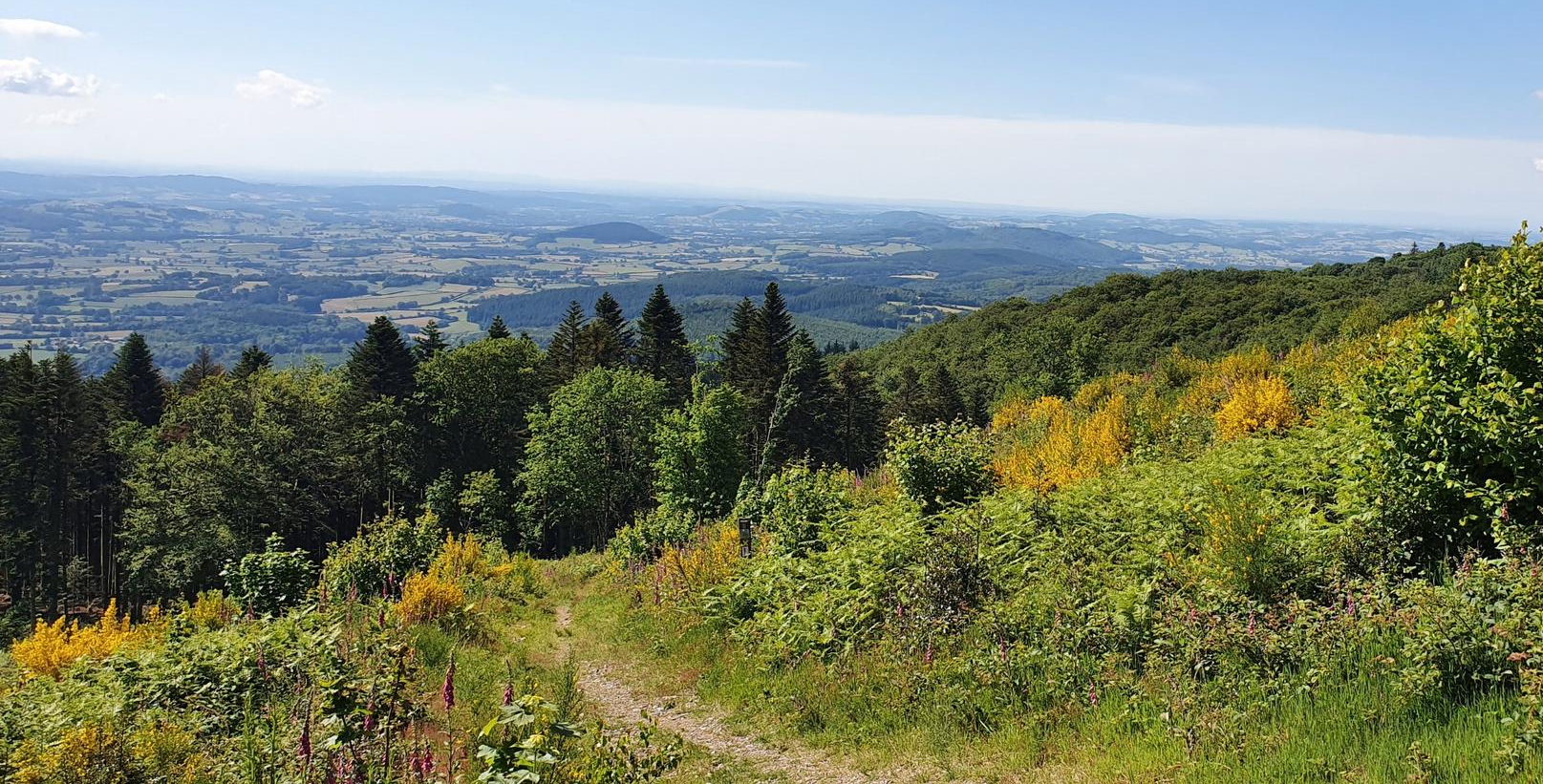
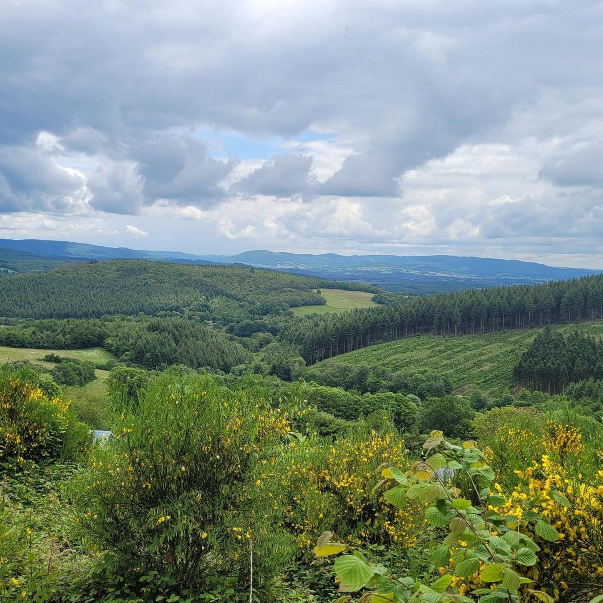
Jogging around Saint-Léger-Sous-Beuvray offers a variety of running experiences within the Morvan Regional Natural Park. The region is characterized by rolling hills, dense woodlands, and scenic viewpoints, providing diverse terrain for runners. Many routes feature ascents to prominent hills like Mont Beuvray, offering panoramic views of the surrounding landscape. The network of trails caters to different fitness levels, from moderate loops through forests to more challenging runs with significant elevation gain.
Best jogging routes around Saint-Léger-Sous-Beuvray
- The most popular jogging…
Last updated: July 5, 2026
4
runners
5.72km
00:44
140m
140m
Moderate run. Good fitness required. Mostly paved surfaces. Suitable for all skill levels.
3.5
(2)
19
runners
16.6km
02:20
740m
740m
Hard run. Very good fitness required. Mostly paved surfaces. Suitable for all skill levels.

Sign up for free
8
runners
6.35km
00:51
200m
200m
Moderate run. Good fitness required. Mostly paved surfaces. Suitable for all skill levels.
5.0
(1)
7
runners
7.20km
00:48
100m
100m
Moderate run. Good fitness required. Mostly paved surfaces. Suitable for all skill levels.
3
runners
12.4km
01:22
250m
250m
Moderate run. Good fitness required. Mostly paved surfaces. Suitable for all skill levels.
Get access to more routes and recommendations from other explorers.
Sign up for free
Already have an account?
Our route recommendations are based on thousands of hikes, rides, and runs completed by other people on komoot.
Start today with a free account
Your next adventure awaits.
Login or Signup
Popular around Saint-Léger-Sous-Beuvray

Other adventures around Saint-Léger-Sous-Beuvray

Tips from the Community


The archaeological site of Bibracte—an ancient fortified Gallic town (an oppidum), capital of the Aedui people—located a few kilometers from Mont Beuvray, welcomes researchers and students. The site, classified as a "Grand Site de France," reveals an exceptional heritage.
0
0

In the village you have a nice bakery, cafe, hotel-restaurant and a shop where you can buy products for pasta, among other things.
0
0
Also open on Sundays. Good quality. My favorite: pain suisse.
1
0

A beautiful forest cycle ride, winding through the remains of the Gaulish village of Bibracte! The goal after the Col du Rebout is a one-way loop that descends to Saint-Léger-sous-Beuvray.
0
0

Combine your visit with a walk through the forest and experience the fabulous views and the fantastic forest.
0
0

very good bakery with delicious types of bread.
0
0

The Bibracte museum retraces the life of the Euden capital. Located at the foot of Mont Beuvray, the museum is open from mid-March to mid-November and is located a few hundred meters from the archaeological site of Bibracte.
0
1
Frequently Asked Questions
How many running routes are available around Saint-Léger-Sous-Beuvray?
There are nearly 100 dedicated running routes around Saint-Léger-Sous-Beuvray, offering a wide range of experiences within the Morvan Regional Natural Park. These include options for various fitness levels, from moderate forest loops to challenging hill climbs.
Are there easy running routes suitable for beginners in Saint-Léger-Sous-Beuvray?
Yes, Saint-Léger-Sous-Beuvray offers several easy running routes perfect for beginners or those looking for a more relaxed jog. While specific easy routes aren't detailed here, you'll find options that avoid significant elevation, focusing on gentle terrain through the woodlands.
What kind of terrain can I expect on jogging trails in this region?
The jogging trails in Saint-Léger-Sous-Beuvray are characterized by rolling hills, dense woodlands, and scenic viewpoints. You can expect a mix of forested paths, some with ascents to prominent hills like Mont Beuvray, providing diverse and engaging terrain for runners.
Are there any challenging running trails for advanced runners?
Absolutely. For advanced runners seeking a challenge, routes like the Viewpoint of Mont Beuvray – View of Autun loop from Glux-en-Glenne offer significant elevation changes and longer distances, providing a demanding workout with expansive views towards Autun.
Are there circular running routes available?
Yes, many of the running routes around Saint-Léger-Sous-Beuvray are circular, allowing you to start and finish at the same point. An example is the Mont Beuvray — loop — running in the Morvan Regional Natural Park, which explores forested paths and offers views from Mont Beuvray.
What are some notable viewpoints or attractions along the running routes?
Many routes lead to scenic viewpoints, particularly around Mont Beuvray. You might also encounter natural highlights like the Dragne Waterfall or the Monumental Beech Trees of Bibracte. The Mount Beuvray itself is a significant landmark offering panoramic vistas.
Are the running trails in Saint-Léger-Sous-Beuvray suitable for families?
Yes, there are family-friendly running options, especially among the easier and moderate routes that feature less challenging terrain and shorter distances. These often wind through pleasant woodlands, providing a good environment for a family jog.
Can I bring my dog on the running trails?
Many trails within the Morvan Regional Natural Park are dog-friendly, but it's always advisable to keep your dog on a leash, especially in areas where wildlife might be present or near agricultural land. Please respect local signage and regulations regarding pets.
What do other runners say about the trails in Saint-Léger-Sous-Beuvray?
The running routes in Saint-Léger-Sous-Beuvray are highly rated by the komoot community, with an average score of 4.4 stars from over 20 reviews. Runners often praise the varied terrain, the beauty of the Morvan Regional Natural Park, and the rewarding views from the hilltops.
Are there any routes that pass by water features like lakes or rivers?
Yes, some routes may lead you near water features. For instance, you might find trails that pass by the La Canche Pond or the Rangère Pond, offering serene views and a different running experience.
Is there public transport access to the running routes?
While Saint-Léger-Sous-Beuvray is a rural area within a natural park, public transport options might be limited directly to trailheads. It's generally recommended to arrive by car, especially for accessing more remote starting points. Check local transport schedules for specific routes if you plan to rely on public transport.
Where can I find parking for the running trails?
Parking is typically available at or near the starting points of many popular trails, especially those leading to Mont Beuvray or other significant landmarks. Look for designated parking areas in villages like Saint-Léger-Sous-Beuvray or Glux-en-Glenne, or at specific trailheads.
What is the best time of year for running in Saint-Léger-Sous-Beuvray?
Spring and autumn generally offer the most pleasant conditions for running, with mild temperatures and beautiful scenery as the foliage changes. Summer can be warm, especially at midday, so early morning or late afternoon runs are recommended. Winter running is possible, but trails may be muddy or icy, particularly at higher elevations.
Most popular routes around Saint-Léger-Sous-Beuvray
Most popular attractions around Saint-Léger-Sous-Beuvray

Get inspired with the komoot mobile app


Explore more
Browse the best Running Trails & Routes in other regions.
