The best walks and hikes around Messey-Sur-Grosne
4.4
(243)
1,116
hikers
160
hikes
Hiking trails around Messey-Sur-Grosne traverse a landscape characterized by rolling hills, agricultural fields, and historical landmarks. The region, situated in Burgundy, France, features gentle elevations and river valleys, offering varied terrain for outdoor activities. Many routes incorporate elements like ancient quarries, historic washhouses, and viaducts, providing a blend of natural scenery and cultural interest. The area is suitable for those seeking accessible paths and longer, more challenging excursions.
Best hiking trails around Messey-Sur-Grosne
- The most popular hiking route is La…
Last updated: July 6, 2026
4.0
(6)
17
hikers
5.67km
01:33
80m
80m
Easy hike. Great for any fitness level. Easily-accessible paths. Suitable for all skill levels.
5.0
(2)
14
hikers
6.93km
02:06
230m
230m
Moderate hike. Good fitness required. Easily-accessible paths. Suitable for all skill levels.

Sign up for free
5.0
(2)
12
hikers
19.9km
05:40
460m
460m
Hard hike. Very good fitness required. Easily-accessible paths. Suitable for all skill levels.
4.7
(3)
8
hikers
7.67km
02:06
120m
120m
Moderate hike. Good fitness required. Easily-accessible paths. Suitable for all skill levels.
11
hikers
12.0km
03:26
280m
280m
Moderate hike. Good fitness required. Easily-accessible paths. Suitable for all skill levels.
Get access to more routes and recommendations from other explorers.
Sign up for free
Already have an account?
Our route recommendations are based on thousands of hikes, rides, and runs completed by other people on komoot.
Start today with a free account
Your next adventure awaits.
Login or Signup

Tips from the Community

The Crainseny Viaduct (French: Viaduc de Crainseny) is a historic railway bridge in the south of the Côte Chalonnaise region. The viaduct was built in 1882. It has a total length of 246 meters, spans the valley at a height of around 23 meters, and features a distinctive curve with a radius of 400 meters. The masonry bridge consists of 16 elegant round arches, each with a span of 12 meters. Originally, the railway ran here on the Étiveau-Montchanin line, connecting the towns of Saint-Gengoux-le-National and Montchanin. Train services were discontinued in 1969.
0
0

Rimont is a small, peaceful hamlet where 2 congregations of brothers and sisters reside.
1
0
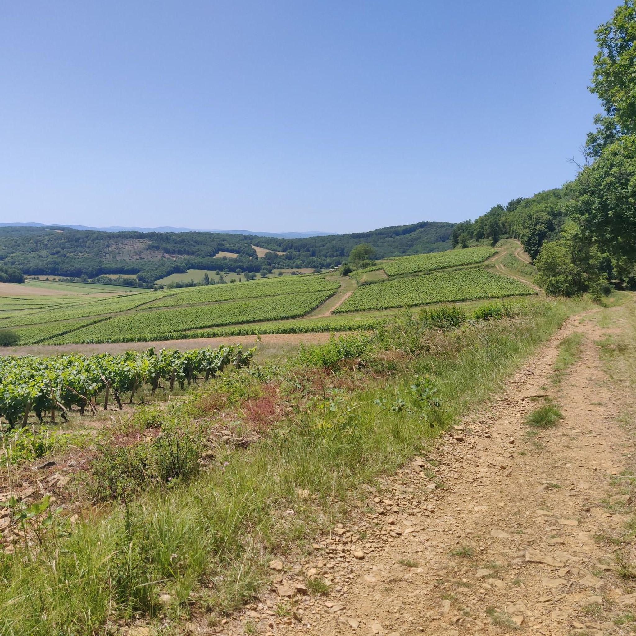
Superb view, pleasant place for a break. Presence of a fitness trail.
1
0
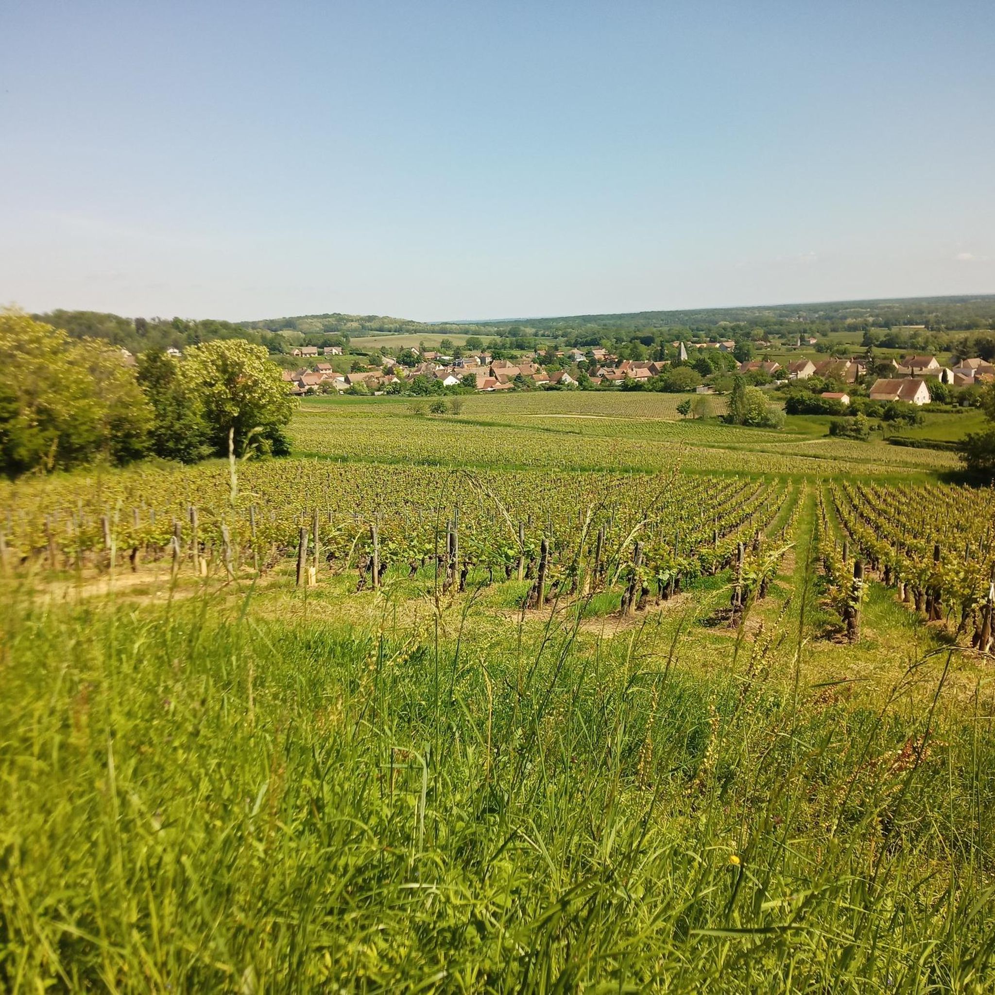
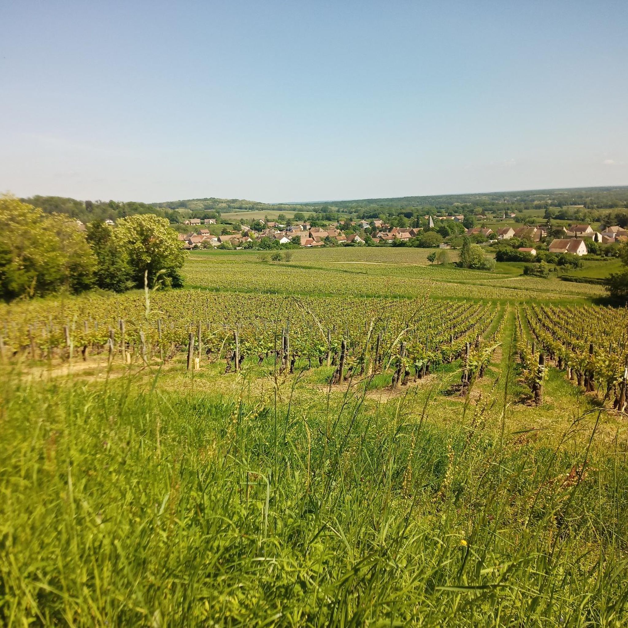
Beautiful view of the "Montagny 1er cru" vineyard / seen from Mont Blanc on a clear day
0
0

A must-see! And a great climbing spot.
0
0
A very beautiful piece of work, a testament to the local railway era.
1
0


Frequently Asked Questions
How many hiking trails are available around Messey-Sur-Grosne?
There are over 160 hiking trails around Messey-Sur-Grosne, offering a wide variety of options for different skill levels and interests. The region's landscape of rolling hills and river valleys provides diverse terrain for exploration.
What do other hikers enjoy most about the trails in Messey-Sur-Grosne?
The trails in Messey-Sur-Grosne are highly rated by the komoot community, with an average score of 4.4 stars from over 200 reviews. Hikers often praise the blend of natural scenery with historical landmarks like ancient quarries and viaducts, as well as the well-maintained paths.
Are there easy hiking trails suitable for beginners or casual walkers?
Yes, Messey-Sur-Grosne offers a good selection of easy trails. Approximately 72 routes are classified as easy. An example is La Montagne – Château de Bresse-sur-Grosne loop from Bresse-sur-Grosne, which is 3.5 miles (5.7 km) long and takes about 1 hour 33 minutes to complete.
Are there any family-friendly walks in the area?
Many of the easier routes around Messey-Sur-Grosne are suitable for families, featuring gentle elevations and well-defined paths. These trails often pass by interesting historical sites or offer scenic views, making them engaging for all ages. Look for routes marked as 'easy' for the best family options.
Can I bring my dog on the hiking trails?
Generally, dogs are welcome on hiking trails in the Messey-Sur-Grosne region, especially in rural and natural areas. However, it's always advisable to keep them on a leash, particularly when passing through agricultural fields or near livestock, and to check for any specific local regulations on individual routes.
Are there circular walks available around Messey-Sur-Grosne?
Yes, many of the hiking routes in Messey-Sur-Grosne are designed as circular loops, allowing you to start and end at the same point. For instance, the Ancient Quarry Picnic Area – Historic Washhouse loop from Saules is a moderate 4.3-mile (6.9 km) circular path that explores historical sites.
What kind of historical landmarks or attractions can I see along the trails?
The trails often incorporate historical elements. You might encounter ancient quarries, historic washhouses, and viaducts. The region is also rich in castles; for example, you can find Pontus de Tyard Castle or Cormatin Castle nearby, which can be points of interest on longer hikes.
Are there any trails that offer panoramic views or viewpoints?
Given the rolling hills of the Burgundy region, many trails offer scenic vistas of the countryside. The route Panoramic rest area – Pontus de Tyard Castle loop from Saules explicitly mentions a 'Panoramic rest area' in its name, suggesting excellent viewpoints along its 12.4-mile (19.9 km) path.
What is the best time of year to go hiking in Messey-Sur-Grosne?
Spring and autumn are generally the best times for hiking in Messey-Sur-Grosne. The weather is mild, and the landscapes are vibrant with spring blossoms or autumn colors. Summer can also be pleasant, but it's advisable to start early to avoid the midday heat. Winter hiking is possible, but some paths might be muddy or slippery.
Are there options for longer, more challenging hikes?
Yes, for those seeking a greater challenge, there are more difficult routes available. For example, the Panoramic rest area – Pontus de Tyard Castle loop from Saules is a difficult 12.4-mile (19.9 km) trail with significant elevation gain, offering a more strenuous experience.
Is parking available at the trailheads?
While specific parking information isn't always detailed for every trailhead, most routes in rural areas like Messey-Sur-Grosne typically have designated parking areas near their starting points, often in villages or at popular attractions. It's recommended to check the route details on komoot for specific parking suggestions before you go.
Can I find trails that are less crowded?
To find less crowded trails, consider hiking during off-peak seasons (early spring or late autumn) or on weekdays. Exploring some of the moderate or difficult routes, such as The Culles-les-roches cave – Historic Washhouse loop from Saules, which is a longer 7.5-mile (12 km) trail, might also lead you to quieter sections of the region.
Most popular routes around Messey-Sur-Grosne
Most popular attractions around Messey-Sur-Grosne

Get inspired with the komoot mobile app


Explore more
Browse the best Hikes in other regions.
