The best walks and hikes around Saint-Étienne-L'Allier
4.6
(99)
662
hikers
97
hikes
Hiking around Saint-Étienne-L'Allier offers exploration of the Eure department's rural landscapes. The area features a distinctive bocage countryside with hedgerows, agricultural lands, and woodlands. Terrain includes plateaus and valleys, notably that of the Véronne River, which incises the landscape. The highest point, Le Bosc Carme, reaches 164 meters.
Best hiking trails around Saint-Étienne-L'Allier
- The most popular hiking route is Small bridge loop from Saint-Siméon, a 5.1 miles (8.2 km) trail that takes 2 hours 13 minutes to complete. This…
Last updated: July 5, 2026
4.8
(9)
27
hikers
8.51km
02:23
170m
170m
Moderate hike. Good fitness required. Easily-accessible paths. Suitable for all skill levels.
5.0
(2)
13
hikers
Moderate hike. Good fitness required. Easily-accessible paths. Suitable for all skill levels.

Sign up for free
5.0
(1)
8
hikers
14.1km
03:58
270m
270m
Moderate hike. Good fitness required. Easily-accessible paths. Suitable for all skill levels.
5.0
(1)
4
hikers
6.36km
01:48
140m
140m
Easy hike. Great for any fitness level. Easily-accessible paths. Suitable for all skill levels.
3.0
(1)
6
hikers
4.47km
01:15
80m
80m
Easy hike. Great for any fitness level. Easily-accessible paths. Suitable for all skill levels.
Get access to more routes and recommendations from other explorers.
Sign up for free
Already have an account?
Our route recommendations are based on thousands of hikes, rides, and runs completed by other people on komoot.
Start today with a free account
Your next adventure awaits.
Login or Signup


Tips from the Community

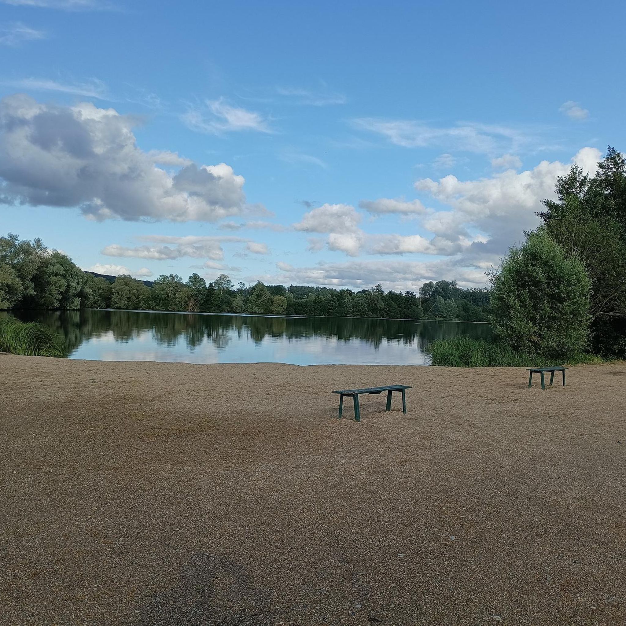
nice resting place under a tree with rubbish bin and possibility to cool your feet in the nearby river.
1
0
You can easily walk over the bridge or walk directly through the small river.
1
0
Frequently Asked Questions
How many hiking trails are available around Saint-Étienne-L'Allier?
There are over 80 hiking routes in the Saint-Étienne-L'Allier area, catering to various skill levels. You'll find a good mix of easy, moderate, and a few more challenging trails to explore the region's diverse landscapes.
What kind of terrain can I expect on hikes in Saint-Étienne-L'Allier?
The terrain around Saint-Étienne-L'Allier is characterized by its distinctive bocage countryside, featuring enclosed meadows, hedgerows, and agricultural lands. You'll also encounter plateaus and valleys, particularly along the Véronne River, with some valley slopes being steep and wooded. Many trails include unpaved paths, sunken lanes, and passages through beech forests, offering varied surfaces.
Are there any easy, family-friendly hikes in the area?
Yes, Saint-Étienne-L'Allier offers several easy routes suitable for families. For instance, the Small bridge loop from Selles is an easy 5.9 km hike that takes about 1 hour 40 minutes, perfect for a leisurely outing. The 'Balade dans la vallée de la Véronne' starting from Campigny is another easy 8 km trail showcasing preserved rural landscapes.
Can I find circular hiking routes in Saint-Étienne-L'Allier?
Yes, many of the trails in the region are circular, allowing you to start and end at the same point. An example is the Hiking loop from Saint-Pierre-des-Ifs, a moderate 12.5 km route that takes around 3 hours 18 minutes, offering varied terrain.
What are the best times of year to go hiking in Saint-Étienne-L'Allier?
The spring and autumn months are generally ideal for hiking in Saint-Étienne-L'Allier. During these seasons, the weather is typically mild, and the natural landscapes, with their bocage and woodlands, are particularly beautiful. Summer can also be pleasant, but it's advisable to start earlier in the day to avoid the midday heat.
Are there any hikes with good viewpoints?
Absolutely. From higher points on the plateau, hikers can enjoy panoramic views of the surrounding bocage. On clear days, you might even catch a glimpse of the Seine Estuary and the Pont de Normandie in the distance. The 'Chemin du Caillou Marais' circuit offers panoramic views, and the 'Le Mont Rôti à Saint-Georges-de-Vièvre' hike provides views of the Risle Valley and distant glimpses of the Seine Estuary.
What interesting landmarks or attractions can I see near the hiking trails?
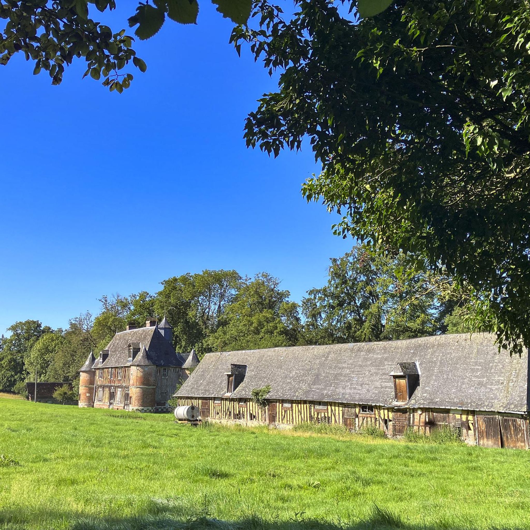
Beyond the natural beauty, you can explore several charming attractions. Pont-Audemer, known as the 'Venice of Normandy,' is a notable town with canals. The medieval Château de Montfort-sur-Risle offers historical intrigue and views. The church in Saint-Étienne-L'Allier itself features carved 17th-century woodwork. Many trails also pass by ancient pollarded trees, some hundreds of years old.
Are dogs allowed on the hiking trails in Saint-Étienne-L'Allier?
Many trails in the Saint-Étienne-L'Allier region are dog-friendly, allowing you to enjoy the natural surroundings with your canine companion. However, it's always recommended to keep dogs on a leash, especially when passing through agricultural lands or near livestock, and to respect local regulations regarding pet access.
Is there parking available at the trailheads?
While specific parking information for every trailhead isn't always detailed, many rural hiking routes in France, including those around Saint-Étienne-L'Allier, typically have small parking areas or roadside spots available near village churches or designated starting points. It's advisable to check the route details on komoot for specific parking recommendations for your chosen trail.
What do other hikers enjoy most about the trails in Saint-Étienne-L'Allier?
The trails in Saint-Étienne-L'Allier are highly rated by the komoot community, with an average score of 4.6 stars from over 70 reviews. Reviewers often praise the region's preserved bocage landscapes, the tranquility of the Véronne River valley, and the varied terrain that includes charming forest paths and scenic viewpoints.
Are there any longer, more challenging hikes for experienced hikers?
While most routes are easy to moderate, there are a few longer options for those seeking a greater challenge. For example, the Picnic Area by the River loop from Selles is a moderate 14.1 km hike with significant elevation gain, taking approximately 4 hours to complete. This route offers a more extensive exploration of the local landscape.
Most popular routes around Saint-Étienne-L'Allier
Most popular attractions around Saint-Étienne-L'Allier

Get inspired with the komoot mobile app


Explore more
Browse the best Hikes in other regions.
