The best running trails around Stipshausen
4.3
(120)
1,639
runners
105
runs
Jogging around Stipshausen offers a diverse experience through rolling hills and dense forests, situated at the foot of the 746-meter-high Idarkopf. The region features a network of well-signposted trails, including routes that traverse picturesque natural landscapes and lead along the Nahe River. Runners can explore varied terrain, from tranquil riverside paths to more challenging ascents around the Idarkopf, providing options for different preferences and fitness levels.
Best jogging routes around Stipshausen
- The most popular jogging route is Ascent to Hellkirch Ruins – Pensioners' Path at Wartenberg loop from Rhaunen, a 14.6 miles (23.5 km) trail that takes 2 hours 44 minutes to complete. This challenging route features significant elevation gain through the region's varied landscape.
- Another top favourite among local runners is Running loop from Sulzbach, a moderate 8.3 miles (13.3 km) path. This route offers a balanced mix of forest and open sections, providing a scenic running experience.
- Local runners also love the View from the Idarkopf – The new Idarkopf Tower loop from Idarkopf, a 2.6 miles (4.2 km) trail leading through forested areas around the Idarkopf, often completed in about 31 minutes.
- Jogging around Stipshausen is defined by rolling hills, dense forests, and riverside paths, with routes ranging from easy loops to more difficult climbs, catering to various ability levels.
- The routes in Stipshausen are highly rated by the komoot community with an average score of 4.4 stars from over 90 reviews. More than 1400 runners have used komoot to explore Stipshausen's varied terrain.
Last updated: August 26, 2026
15
runners
22.2km
02:36
440m
440m
Hard run. Very good fitness required. Mostly paved surfaces. Suitable for all skill levels.
7
runners
13.2km
01:30
200m
200m
Moderate run. Good fitness required. Mostly accessible paths. Some sure footedness required.

Sign up for free
5
runners
13.2km
01:29
180m
180m
Moderate run. Good fitness required. Mostly paved surfaces. Suitable for all skill levels.
9
runners
Easy run. Great for any fitness level. Mostly paved surfaces. Suitable for all skill levels.
6
runners
11.1km
01:17
190m
190m
Moderate run. Good fitness required. Mostly paved surfaces. Suitable for all skill levels.
Get access to more routes and recommendations from other explorers.
Sign up for free
Already have an account?
Our route recommendations are based on thousands of hikes, rides, and runs completed by other people on komoot.
Start today with a free account
Your next adventure awaits.
Login or Signup
Tips from the Community


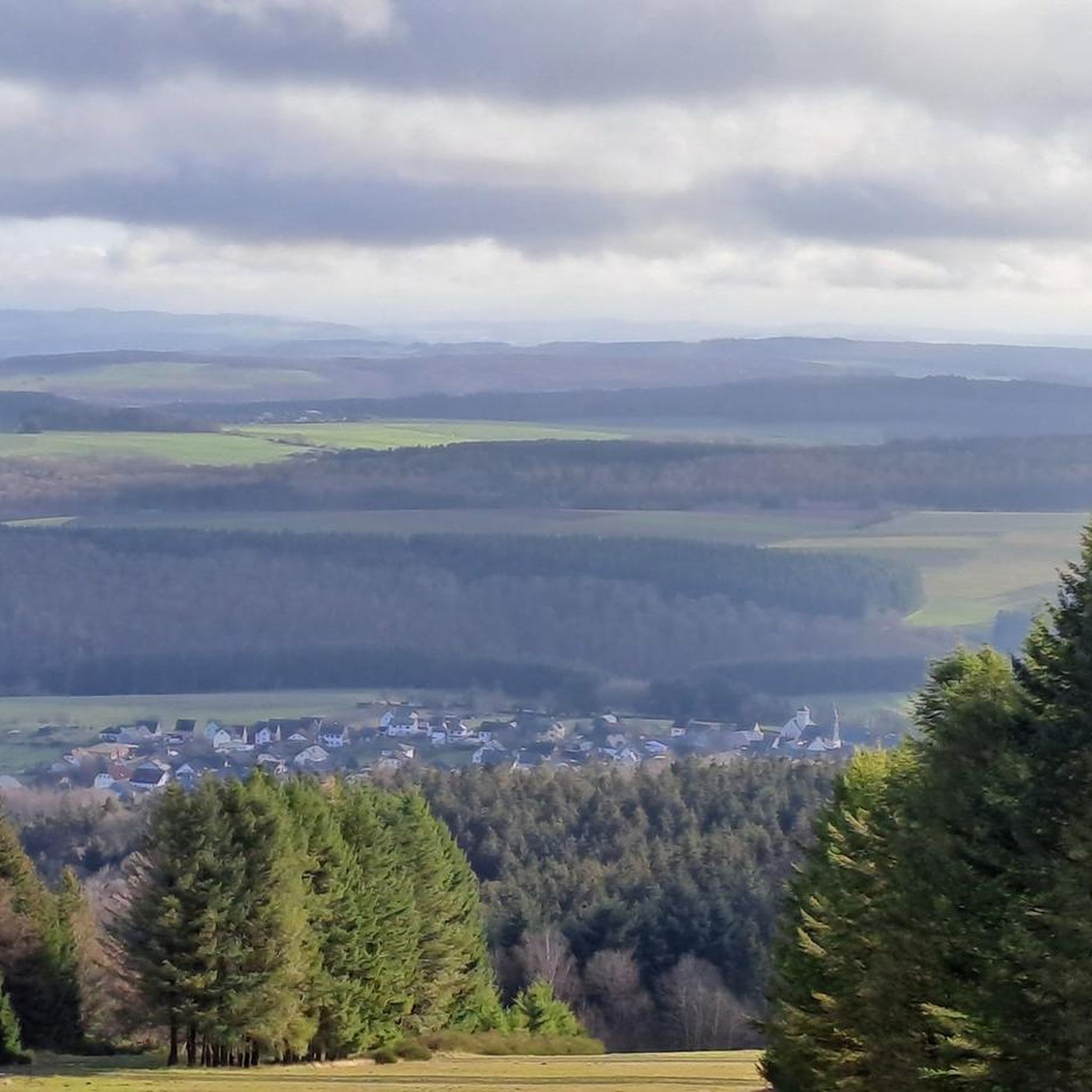
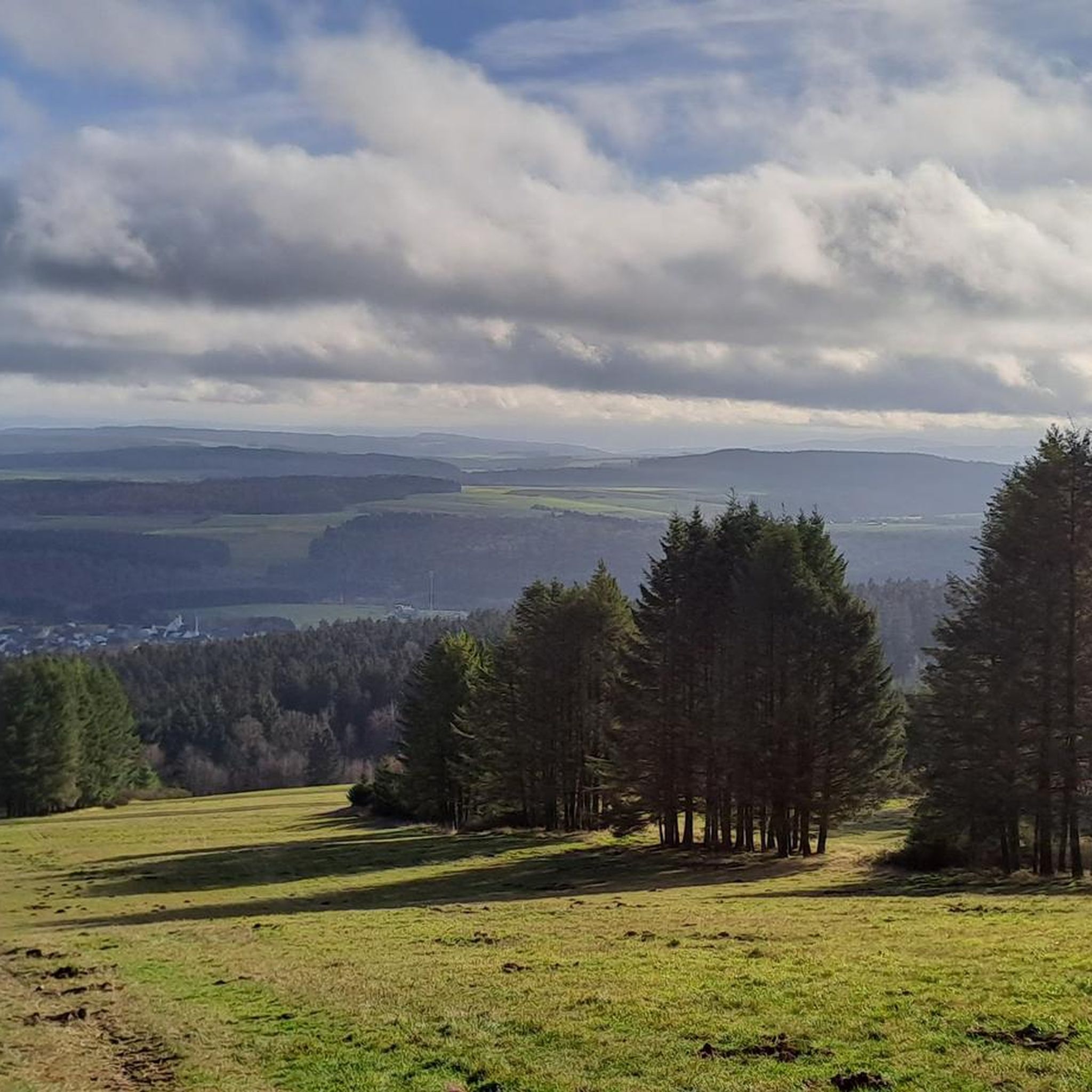
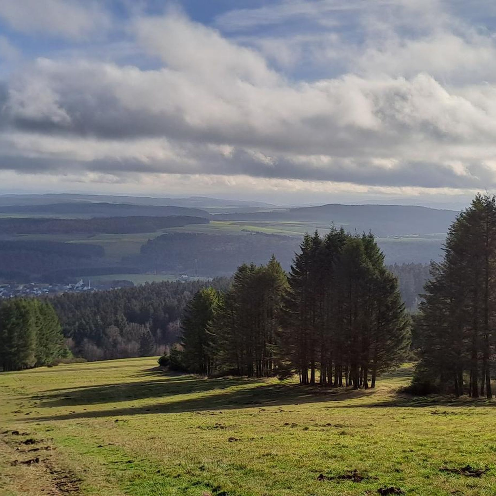
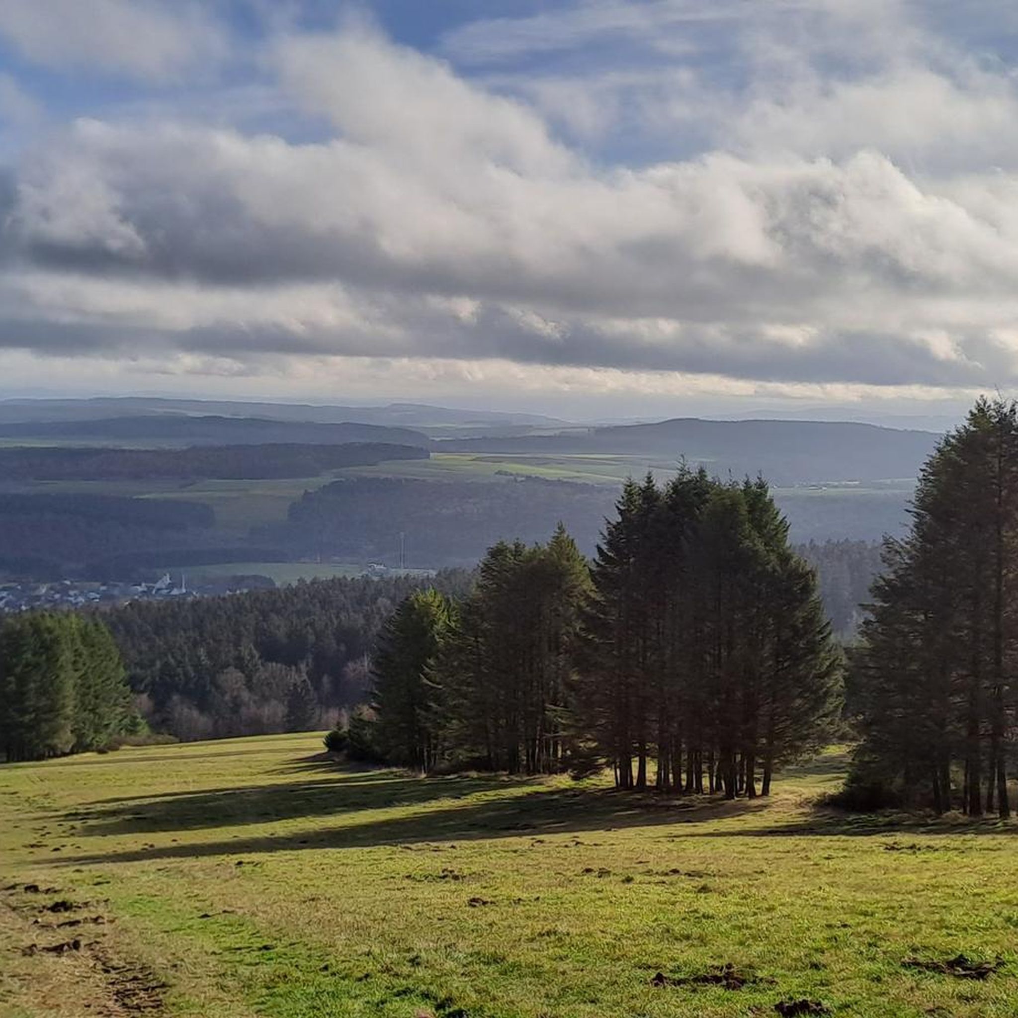
The Idarkopf offers excellent panoramic views over the surrounding Hunsrück heights. The new Idarkopf tower, a hybrid construction made of wood and hot-dip galvanized steel, was opened in December 2022 after the previous wooden tower, which was damaged by fire in 2018, was demolished in February 2022.
2
1

The observation tower on the Idarkopf mountain in the Saar-Hunsrück Nature Park, located in the EdelSteinLand region, offers breathtaking panoramic views from its height of over 30 meters. The original tower was destroyed by fire in 2018; now, a hybrid structure made of construction timber and hot-dip galvanized steel graces the summit. (Source: https://presse.rlp-tourismus.com/infosystem/infosystem/Aussichtspunkt-Idarkopfblick_Rhaunen/infosystem.html)
2
0

This exciting castle ruin is begging to be explored. A destination for numerous visitors.
28
1

Very high tower that looks out over the tops of the coniferous forest. A worthwhile challenge for those who do not have a head for heights through the grid steps. On a bike tour, it's also nice to use your muscles in a different way and then explore the high forest or the Hahnenbach valley.
2
0

Thanks to the bridge, you can cross the Hahnenbach below the Schmidtburg
2
0

The new observation tower is a real eye-catcher. The platform is modeled on a bird's nest. 170 steps lead up. Those who are not afraid of heights will be rewarded with a great 360° panorama.
2
0

The Idarkopf (746m) is certainly the most famous peak in the Hunsrück Idarwald. This certainly has a lot to do with the fact that there has long been a lookout tower here that offers a wide view over the Rhenish Slate Mountains. From the Idarkopf tower you have a wide view over the landscape: to the Großer Feldberg (881m) in the Taunus, the Donnersberg (669m) in the Palatinate mountains, to the Hohe Acht (747m) in the Eifel, the Fuchskaute (657m) in the Westerwald and of course to the Erbeskopf (816m). However, the Idarkopf is not the highest mountain in the Idarwald. It is located a little further south on the ridge in the transition to the Hunsrück High Forest and is called An den zwei Steinen (766m).
3
0
Frequently Asked Questions
How many running routes are available around Stipshausen?
Stipshausen offers a diverse network of over 110 running routes. These trails cater to various preferences, ranging from easy loops to more challenging ascents, ensuring there's something for every runner.
What kind of terrain can I expect on the jogging trails in Stipshausen?
The jogging trails around Stipshausen feature a varied terrain, including rolling hills, dense forests, and picturesque riverside paths along the Nahe River. Many routes combine forest and meadow sections, offering impressive views of areas like the Soonwald and Wildenburg.
Are there any easy or family-friendly running routes in the area?
Yes, Stipshausen has several easy running options, with about 17 routes classified as easy. A notable child-friendly trail circles a nearby forest lake, providing a gentler and informative loop perfect for families or those seeking a less strenuous run. For a slightly longer, easy option, consider the View from the Idarkopf – The new Idarkopf Tower loop from Idarkopf, which is 4.2 km.
Where can I find challenging running routes with significant elevation gain?
For those seeking a challenge, routes leading up and around the 746-meter-high Idarkopf offer significant elevation. One route steadily climbs for 6.7 km to the summit. A particularly demanding option is the Ascent to Hellkirch Ruins – Pensioners' Path at Wartenberg loop from Rhaunen, a 23.5 km trail with substantial elevation gain.
Are there any circular running routes in Stipshausen?
Yes, many of the trails around Stipshausen are circular, allowing you to start and end at the same point. For example, the Running loop from Sulzbach is a popular moderate circular route, offering a balanced mix of forest and open sections.
What are some scenic viewpoints or landmarks I can see while running?
The region offers breathtaking vistas, especially from the 'Seven Mountains Hiking Trails' which provide views of the surrounding valley and Stipshausen itself. Routes around the Idarkopf also lead to scenic spots like the new Idarkopf Tower. You can also explore natural features like the Nahe River and various natural monuments, lakes, and rock formations.
Are there any waterfalls near the running trails?
Yes, the Stipshausen area features beautiful waterfalls. You might encounter the Katzenloch Waterfall or the Dillendorf Waterfall, which add a picturesque element to your run. The Ilsbach Creek is another lovely natural feature.
What do other runners say about the trails in Stipshausen?
The running routes in Stipshausen are highly regarded by the komoot community, boasting an average rating of 4.4 stars from nearly 100 reviews. Over 1400 runners have explored the varied terrain, often praising the tranquility, diverse landscapes, and well-signposted paths that make for an immersive outdoor experience.
Is Stipshausen suitable for trail running with dogs?
While specific dog-friendly regulations can vary, the diverse trail network, dense forests, and open meadows of Stipshausen generally provide an excellent environment for trail running with dogs. Always ensure your dog is under control and check for any local signage regarding leash requirements or restricted areas.
When is the best time of year to go jogging in Stipshausen?
Stipshausen offers a beautiful running experience year-round. Spring brings lush vegetation along riverside paths, while autumn is particularly magical due to the vibrant foliage, especially on routes offering views of the surrounding valley. The diverse trail network ensures options are available even in winter, though conditions may vary.
Are there any moderate-difficulty running routes for intermediate runners?
Absolutely, the majority of routes in Stipshausen, about 84 of them, are classified as moderate. These trails offer a balanced challenge without being overly strenuous. A popular choice is the Pensioners' Path at Wartenberg – Bollenberg loop from Rhaunen, a 12.8 km route that provides a rewarding run through varied landscapes.
Most popular routes around Stipshausen
Most popular attractions around Stipshausen

Get inspired with the komoot mobile app


Explore more
Browse the best Running Trails & Routes in other regions.
