The best running trails around Beaulieu
4.1
(46)
1,557
runners
124
runs
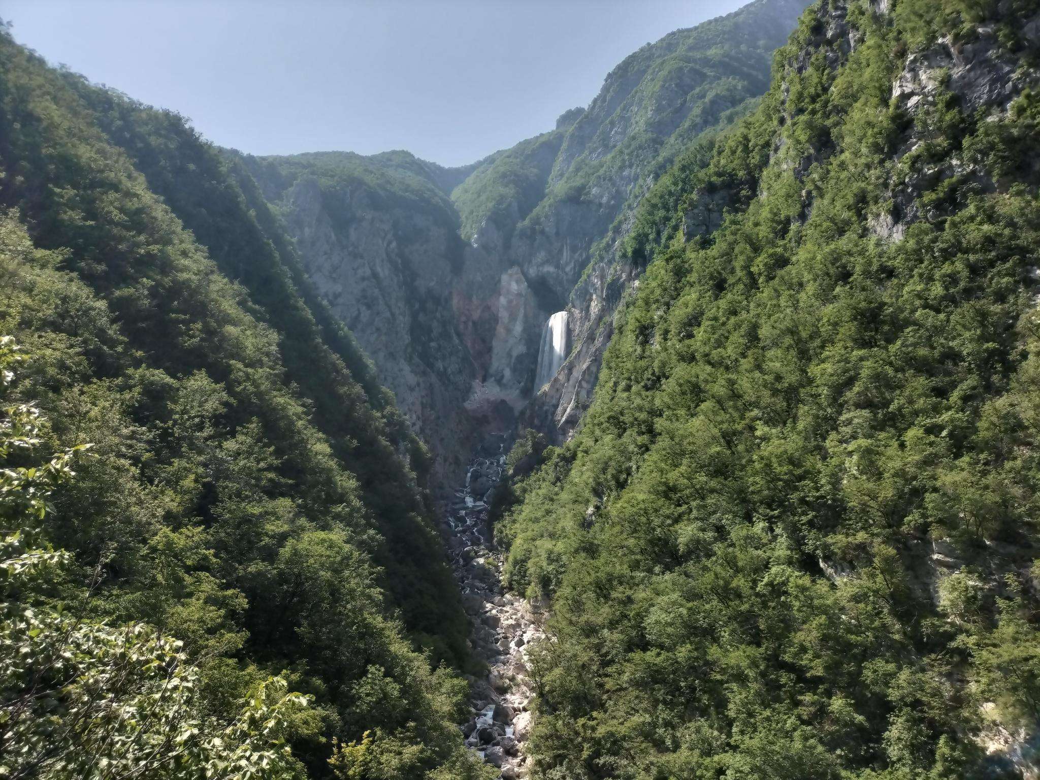
Jogging around Beaulieu offers routes through diverse landscapes, including ancient woodlands and open heathland. The region is characterized by its gentle elevation changes and a network of paths suitable for various running styles. Many routes follow riverside trails or pass by tranquil lakes, providing varied scenery. This area provides a mix of terrain for both easy jogging routes and more challenging runs.
Best jogging routes around Beaulieu
- The most popular jogging route is Bois-Francs Castle loop from Les Barils, a 6.5 miles (10.5 km) trail that takes 1 hour 7 minutes to complete. This route offers views of the historic castle and surrounding forest.
- Another top favourite among local runners is Bois Francs Greenway – Bois Francs Castle loop from Les Barils, a moderate 8.8 miles (14.2 km) path. This route follows a greenway, providing a consistent surface through natural surroundings.
- Local runners also love the Étang de Sainte-Nicole – Étang de Mousuette loop from Bresolettes, a 6.0 miles (9.7 km) trail leading through woodland and past lakes, often completed in about 1 hour 10 minutes.
- Jogging around Beaulieu is defined by ancient woodlands, riverside paths, and open heathland. The network offers options for different ability levels, from beginner running trails to long distance jogging routes.
- The routes in Beaulieu are highly rated by the komoot community with an average score of 4.0 stars from more than 25 reviews. More than 1,100 runners have used komoot to explore Beaulieu's varied terrain.
Last updated: July 9, 2026
5
runners
8.28km
00:53
40m
40m
Moderate run. Good fitness required. Mostly paved surfaces. Suitable for all skill levels.
7
runners
14.7km
01:46
110m
110m
Moderate run. Good fitness required. Mostly paved surfaces. Suitable for all skill levels.

Sign up for free
4
runners
11.9km
01:17
60m
60m
Moderate run. Good fitness required. Mostly paved surfaces. Suitable for all skill levels.
4
runners
14.4km
01:32
80m
80m
Moderate run. Good fitness required. Mostly paved surfaces. Suitable for all skill levels.
3
runners
7.88km
00:49
50m
50m
Moderate run. Good fitness required. Mostly paved surfaces. Suitable for all skill levels.
Get access to more routes and recommendations from other explorers.
Sign up for free
Already have an account?
Our route recommendations are based on thousands of hikes, rides, and runs completed by other people on komoot.
Start today with a free account
Your next adventure awaits.
Login or Signup


Frequently Asked Questions
How many running routes are available around Beaulieu?
There are over 100 running routes around Beaulieu, offering a wide variety of options for different skill levels and preferences. The region features diverse landscapes, including ancient woodlands, open heathland, and riverside paths.
Are there easy running trails suitable for beginners in Beaulieu?
Yes, Beaulieu offers several easy running trails perfect for beginners. You'll find routes with gentle elevation changes and well-maintained paths. Approximately 8 of the routes are classified as easy, providing a comfortable introduction to running in the area.
What kind of scenery can I expect on jogging routes in Beaulieu?
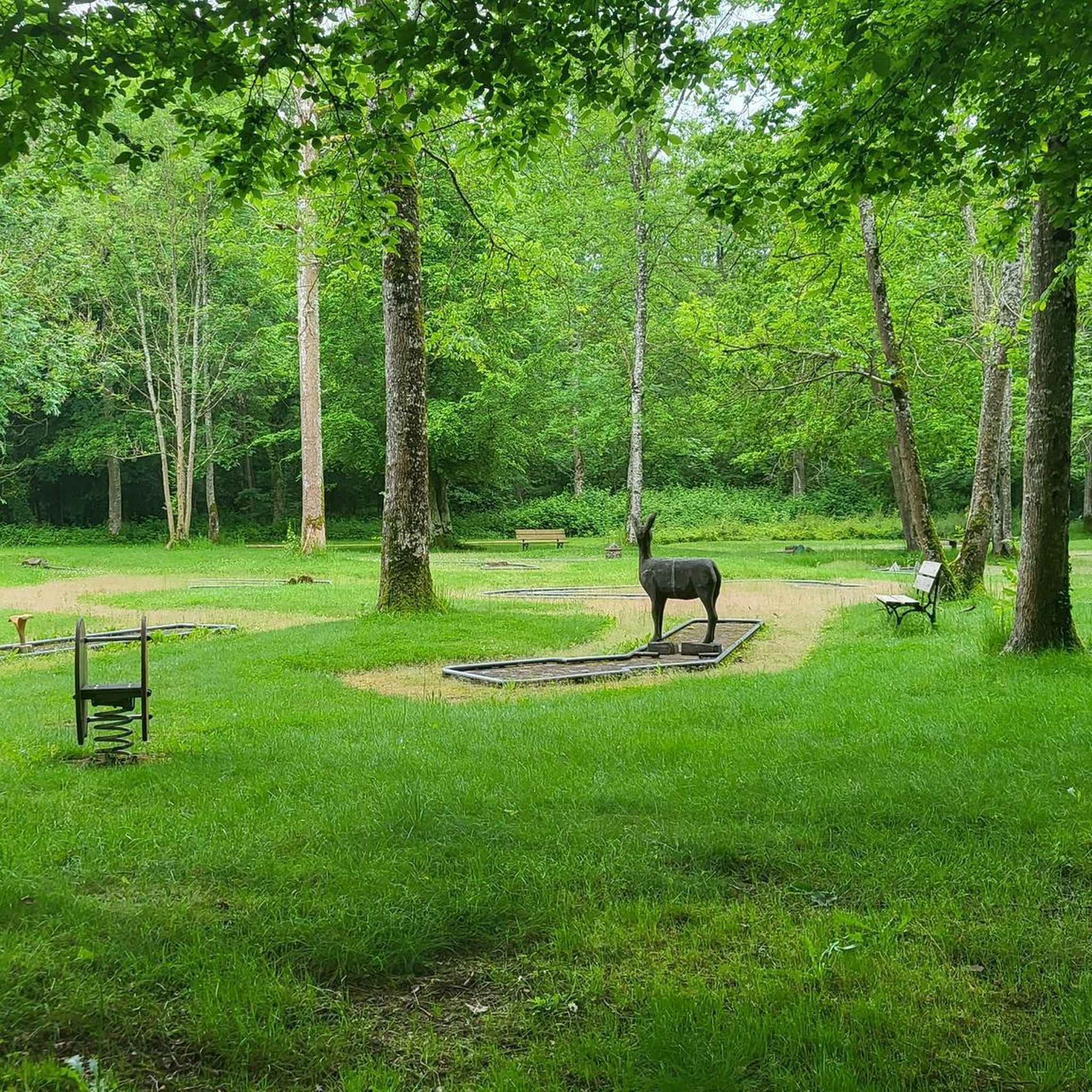
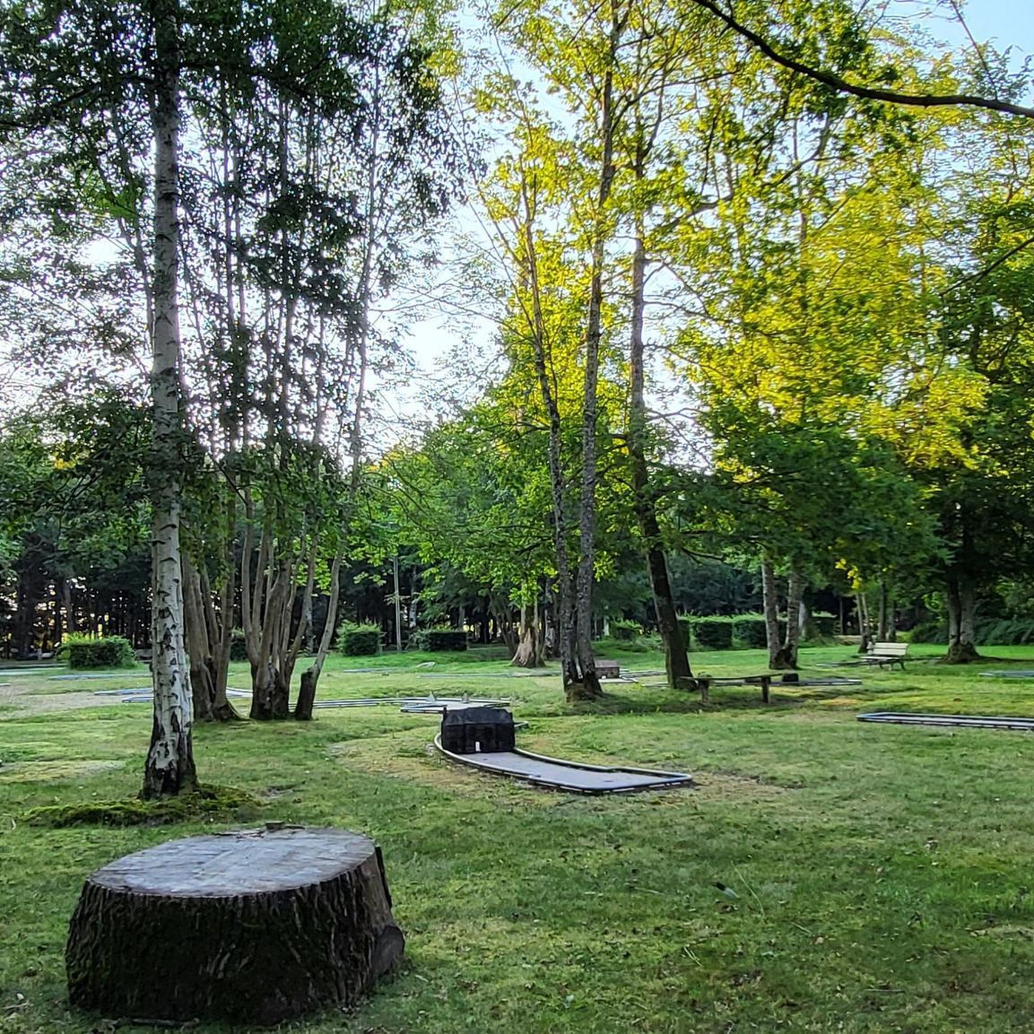
Jogging routes in Beaulieu are known for their varied and picturesque scenery. You can expect to run through ancient woodlands, across open heathland, and alongside tranquil lakes and rivers. Many routes offer views of historic sites like Bois Francs Castle.
Are there any long-distance running routes in Beaulieu for experienced runners?
Absolutely. For those looking for a longer challenge, Beaulieu has numerous routes exceeding 10 km. For example, the Étang de Mousuette – Étang de Sainte-Nicole loop from Randonnai is a moderate 14.7 km trail, offering a substantial run through scenic landscapes.
Can I find circular running trails in Beaulieu?
Yes, many of the running routes in Beaulieu are circular, allowing you to start and finish at the same point. A popular option is the Étang de Sainte-Nicole – Étang de Mousuette loop from Bresolettes, which is a 9.7 km circular trail through woodland and past lakes.
Are the running routes in Beaulieu dog-friendly?
Many trails in Beaulieu are suitable for running with dogs, especially those through the extensive woodlands and heathlands. However, it's always recommended to keep dogs under control, especially near livestock or in nature reserves. Check local signage for specific restrictions.
What are some challenging running routes in Beaulieu?
For runners seeking a challenge, Beaulieu offers routes with more significant elevation changes or longer distances. There are 15 routes classified as difficult. The Bois Francs Greenway – Bois Francs Castle loop from Les Barils, at 14.2 km, provides a moderate challenge with consistent surfaces through natural surroundings.
What do other runners enjoy most about jogging in Beaulieu?
The running routes in Beaulieu are highly rated by the komoot community, with an average score of 4.0 stars from over 25 reviews. Runners often praise the diverse terrain, the tranquility of the ancient woodlands, and the well-maintained paths that make for an enjoyable experience.
Are there any interesting landmarks or attractions along the running routes?
Yes, several running routes pass by notable landmarks. For instance, the Bois-Francs Castle loop from Les Barils offers views of the historic Bois Francs Castle. Other routes might lead you past sites like the Saint Bernard Fountain of La Trappe Abbey or the Bois Francs Greenway.
Are there running routes in Beaulieu suitable for families?
Many of the easier and shorter routes in Beaulieu are suitable for families, especially those with gentle terrain and scenic views. Look for trails that stick to well-defined paths and avoid significant elevation gains, often found near lakes or through less dense woodlands.
Where can I find parking for running trails in Beaulieu?
Parking availability varies by trailhead. Many routes, especially those starting from villages or popular recreational areas, will have designated parking. It's advisable to check the specific route details on komoot for information on parking facilities near the starting point of your chosen run.
Are there any running routes that pass by cafes or places to refuel?
While many routes are through natural areas, some trails may pass through or near villages where cafes and shops are available. For example, routes starting or ending in larger settlements like Les Barils or Randonnai might offer opportunities to refuel. It's always a good idea to carry water and snacks, especially on longer runs.
Most popular attractions around Beaulieu

Get inspired with the komoot mobile app


Explore more
Browse the best Running Trails & Routes in other regions.
