The best walks and hikes around Montmerrei
4.5
(42)
152
hikers
52
hikes
Hiking around Montmerrei offers a network of trails through a landscape characterized by rolling hills and varied terrain. The region features moderate elevation changes, with routes often traversing woodlands, open fields, and areas near historical sites. These trails provide opportunities for exploring the natural environment and local heritage.
Best hiking trails around Montmerrei
- The most popular hiking route is Sassy Loop Trail, a 10.3 miles (16.6 km) trail that takes 4 hours 19 minutes to complete. This moderate route…
Last updated: July 8, 2026
4
hikers
16.6km
04:19
110m
110m
Hike a moderate 10.3-mile loop through the Normandie-Maine GEOPARK, featuring pastoral landscapes and the historic Château de Sassy.
5.0
(4)
14
hikers
12.1km
03:18
170m
170m
Moderate hike. Good fitness required. Easily-accessible paths. Suitable for all skill levels.

Sign up for free
5.0
(4)
12
hikers
12.1km
03:16
160m
170m
Moderate hike. Good fitness required. Easily-accessible paths. Suitable for all skill levels.
3.7
(3)
6
hikers
8.01km
02:06
60m
70m
Moderate hike. Good fitness required. Easily-accessible paths. Suitable for all skill levels.
4.5
(2)
4
hikers
8.83km
02:19
80m
80m
Moderate hike. Good fitness required. Easily-accessible paths. Suitable for all skill levels.
Get access to more routes and recommendations from other explorers.
Sign up for free
Already have an account?
Our route recommendations are based on thousands of hikes, rides, and runs completed by other people on komoot.
Start today with a free account
Your next adventure awaits.
Login or Signup

Tips from the Community

Magnificent site, especially with morning lighting, unfortunately closed to visitors and the tree-lined avenue is closed to the public.
2
0

Many paths around this pond perfect for nature runs. Sassy Castle nearby.
1
0

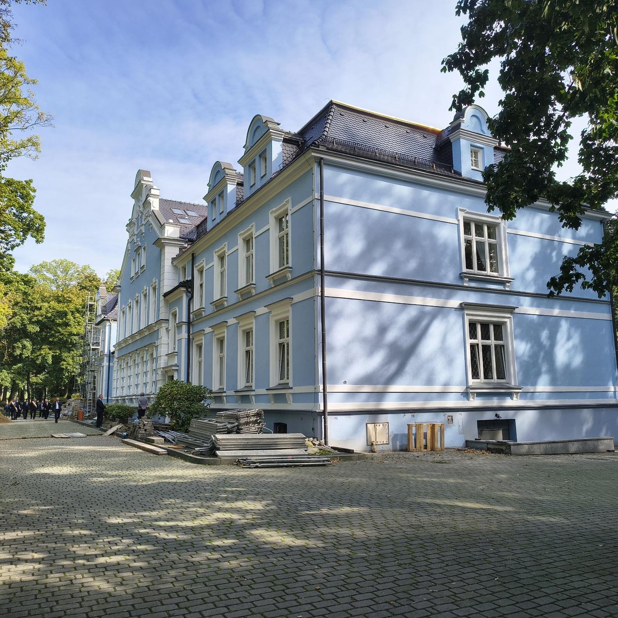
The Château de Sassy you see today was built in the 18th century. It belonged to a chancellor of France in 1850, but by far the most important person to have visited this castle was Queen Elizabeth II, in 1967, during a private visit to France. The castle has an astonishing French garden built in 1920.
1
0
1944, General Leclerc's 2nd Armored Division advances from Utah Beach towards the German border. The Keren tank unfortunately did not make the trip. Don't panic, he has found a new home in the town of Boischampré.
3
0
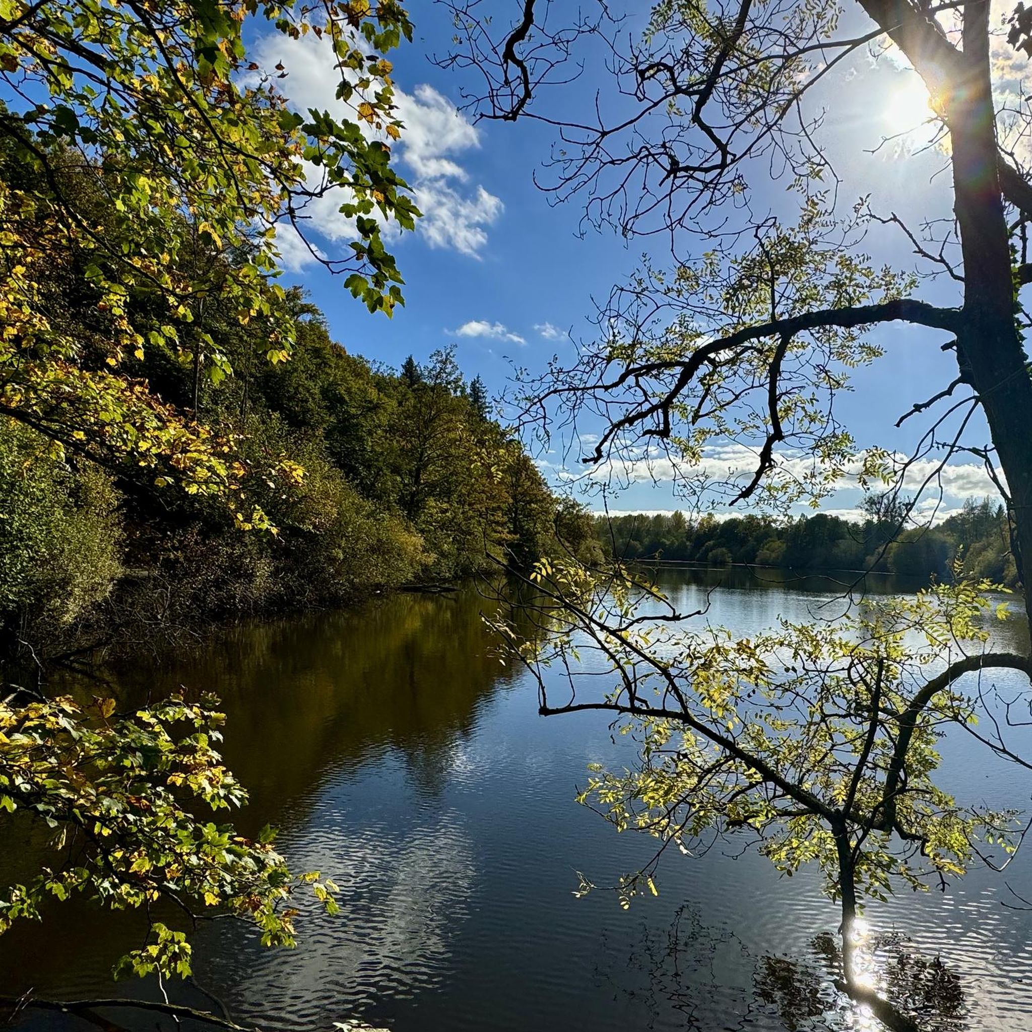
Vrigny pond is the largest in the Orne department with 37 hectares. You can enjoy the view of the pond while walking and the proximity to the water.
2
0
This imposing 18th century castle, built of stone and brick, overlooks three floors of terraces. Still inhabited, it houses the rich library of Chancellor Pasquier which contains 25,000 volumes and makes it one of the most important private libraries in France. In addition to beautiful furniture, you will admire various Gobelins and Beauvais tapestries and in the chapel a 15th century altarpiece.
2
0
Frequently Asked Questions
How many hiking trails are there in Montmerrei?
Montmerrei offers a diverse network of over 50 hiking trails. These routes cater to various skill levels, ranging from easy strolls to more challenging day hikes, allowing you to explore the region's rolling hills and varied terrain.
Are there easy hiking trails suitable for beginners in Montmerrei?
Yes, Montmerrei has a good selection of easy trails perfect for beginners. There are over 20 routes classified as easy, providing gentle paths through woodlands and open fields without significant elevation changes. These are ideal for a relaxed introduction to hiking in the area.
What are some family-friendly hiking options around Montmerrei?
Many of Montmerrei's easier trails are suitable for families. These routes typically feature gentle terrain and shorter distances, making them enjoyable for all ages. Look for trails that traverse open fields or offer points of interest like local landmarks to keep children engaged.
Can I bring my dog on the hiking trails in Montmerrei?
Generally, dogs are welcome on most hiking trails in Montmerrei, especially those that pass through open countryside and woodlands. However, it's always advisable to keep your dog on a leash, particularly when passing through agricultural areas or near livestock, and to check local signage for any specific restrictions.
Are there any circular hiking routes in Montmerrei?
Yes, many of the trails around Montmerrei are designed as circular routes, allowing you to start and finish at the same point. Examples include the Sassy Loop Trail, which is 10.3 miles (16.6 km), or the Hiking loop from Le Cercueil, a moderate 7.5 miles (12.0 km) path.
What is the typical length of hikes around Montmerrei?
Hikes around Montmerrei vary in length. You can find shorter walks, but many popular routes range from 7 to 10 miles (11 to 16 km). For instance, the Hiking loop from Les Prés Jean is 7.5 miles (12.1 km) and typically takes around 3 hours 16 minutes to complete.
Are there any challenging day hikes for experienced hikers?
While Montmerrei is known for its rolling hills and moderate terrain, there are a few routes that offer a more challenging experience. The region features 2 trails classified as difficult, which may include longer distances or steeper ascents, providing a good workout for experienced hikers.
What kind of attractions can I see along the hiking trails in Montmerrei?
The hiking trails in Montmerrei often lead past interesting historical sites and natural features. You might encounter landmarks such as the impressive Château de Sassy or the Sherman tank. The region also features charming villages and scenic viewpoints.
What do other hikers say about the trails in Montmerrei?
The hiking trails in Montmerrei are highly rated by the komoot community, with an average score of 4.5 stars from 35 reviews. Hikers often praise the varied countryside, the tranquility of the woodlands, and the well-maintained paths that make for an enjoyable outdoor experience.
When is the best time of year to go hiking in Montmerrei?
The best time to hike in Montmerrei is typically from spring to autumn (April to October). During these months, the weather is generally mild and pleasant, with lush greenery in spring and vibrant colors in autumn. Summer offers longer daylight hours, though some trails might be busier.
What are the conditions like for winter hiking in Montmerrei?
Winter hiking in Montmerrei is possible, but conditions can vary. While heavy snowfall is not common, trails can be muddy or slippery, especially after rain or during frosty periods. It's advisable to wear appropriate waterproof footwear and check local weather forecasts before heading out.
Are there less crowded hiking trails available in Montmerrei?
To find less crowded trails, consider exploring routes slightly off the main popular paths or hiking during off-peak hours, such as early mornings or weekdays. Many of Montmerrei's 53 trails offer a sense of solitude, especially those that venture deeper into the woodlands and fields.
Is parking available at the trailheads in Montmerrei?
Yes, parking is generally available at or near the starting points of many hiking trails in Montmerrei, particularly in or around the villages. Specific parking information can often be found on individual route descriptions on komoot, or by checking local village maps.
Are there any hiking routes that pass by a pub or restaurant?
While specific routes passing directly by pubs aren't detailed, many trails in Montmerrei connect to or pass near local villages. These villages often have small eateries or cafés where you can enjoy refreshments after your hike. It's a good idea to check village amenities along your chosen route.
Most popular attractions around Montmerrei

Get inspired with the komoot mobile app


Explore more
Browse the best Hikes in other regions.
