The best running trails around Dielkirchen
4.4
(56)
1,199
runners
78
runs
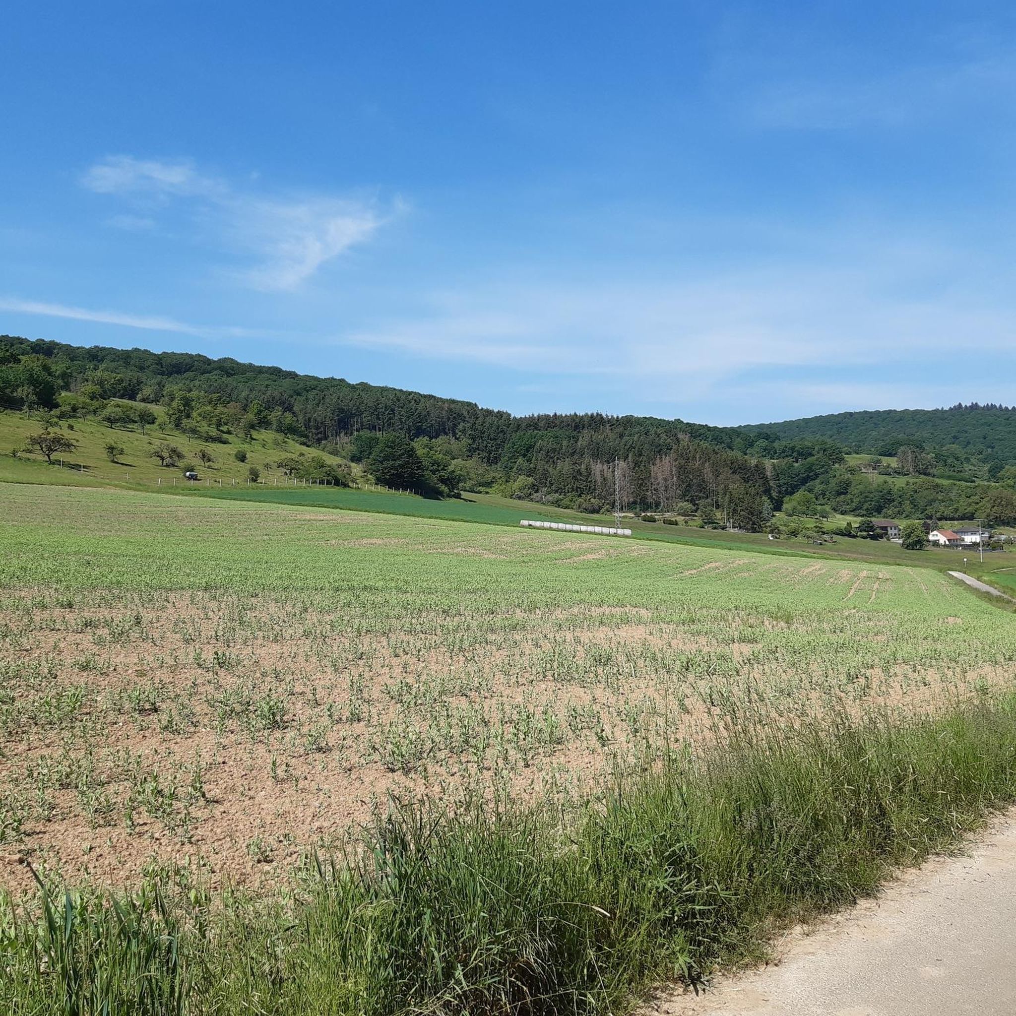
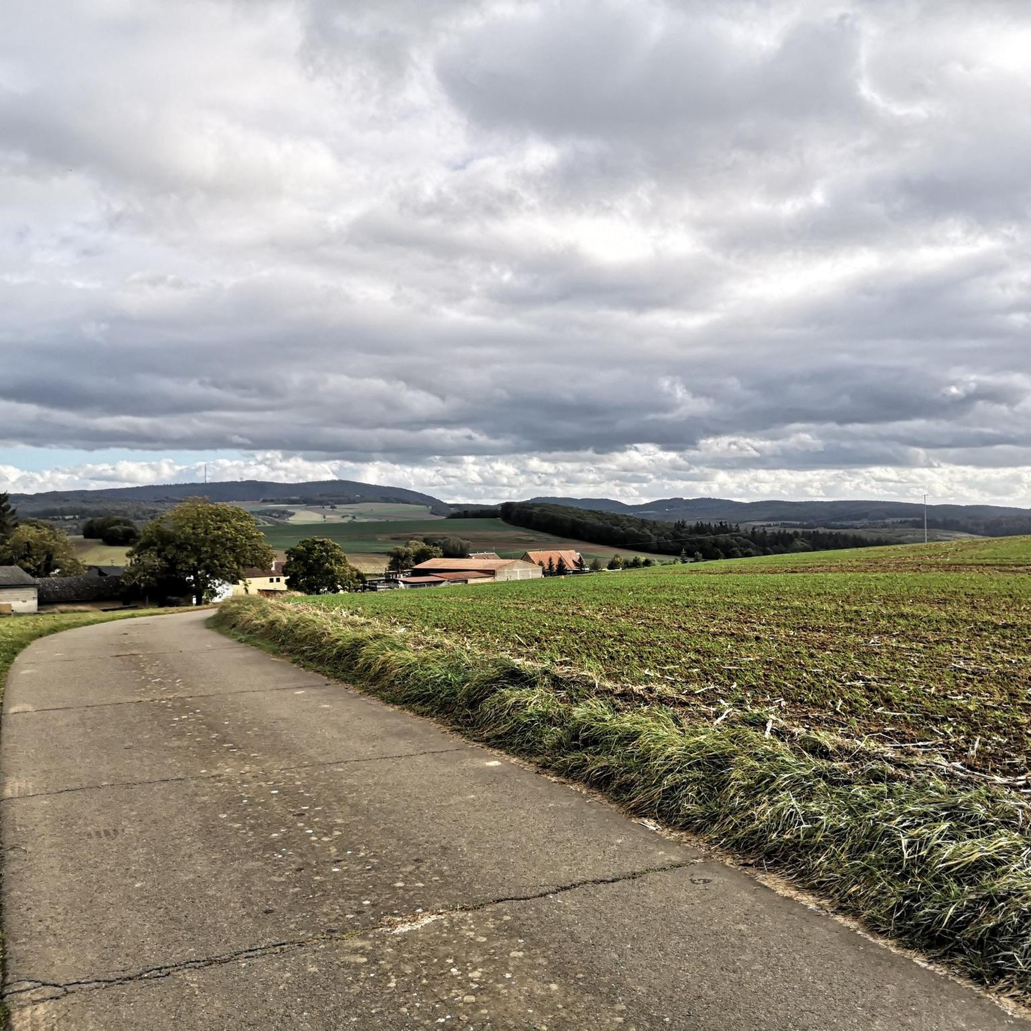
Jogging routes Dielkirchen offer access to the diverse and undulating natural landscapes of the Donnersbergkreis district in Rhineland-Palatinate, Germany. The region features mountainous terrain, expansive forests, and rolling hills, providing a variety of running experiences. Its proximity to the Donnersberg, the highest mountain in the Palatinate, ensures a network of trails with significant elevation changes and varied topography. Runners can explore a mix of forest paths, arable land, and panoramic viewpoints.
Best jogging routes around Dielkirchen
- The most popular jogging…
Last updated: June 26, 2026
5.0
(1)
17
runners
6.79km
00:46
180m
180m
Moderate run. Good fitness required. Mostly paved surfaces. Suitable for all skill levels.
5.0
(2)
13
runners
7.96km
00:56
210m
210m
Moderate run. Good fitness required. Mostly paved surfaces. Suitable for all skill levels.

Sign up for free
5.0
(1)
9
runners
Moderate run. Good fitness required. Mostly paved surfaces. Suitable for all skill levels.
5.0
(1)
8
runners
8.91km
01:02
230m
230m
Moderate run. Good fitness required. Mostly paved surfaces. Suitable for all skill levels.
8
runners
Easy run. Great for any fitness level. Mostly paved surfaces. Suitable for all skill levels.
Get access to more routes and recommendations from other explorers.
Sign up for free
Already have an account?
Our route recommendations are based on thousands of hikes, rides, and runs completed by other people on komoot.
Start today with a free account
Your next adventure awaits.
Login or Signup
Tips from the Community

Very large cabin with grill
0
0


An old Jewish cemetery is located in the area of the Ringstrasse - between the Ringstrasse and the city wall (plots 306, 305). The cemetery was established in the 18th century and expanded in 1842. No gravestones have survived. The cemetery plot can be recognized by the chestnut trees. A new Jewish cemetery was established in 1908/1912 and used until 1939 (plot no. 865/2). The cemetery area covers 5.60 acres (according to other information 6.28 acres).
1
0
Very large barbecue hut with plenty of space and two brick barbecue areas.
2
0
Beautiful orchids (orchidaceae) can also be found here.
1
0


Awesome view from up here
1
0

Top built animal hotel good care
0
0
Frequently Asked Questions
How many running routes are available around Dielkirchen?
The Dielkirchen area offers a wide selection of nearly 80 running routes. These trails cater to various fitness levels, ranging from easy jogs to more challenging runs with significant elevation gain across the diverse landscapes of the Donnersbergkreis district.
What kind of terrain can I expect on the jogging trails near Dielkirchen?
Runners in the Dielkirchen region will encounter a varied topography, including mountainous terrain, dense forests, and rolling hills. The trails often feature a mix of forest paths and arable land, providing a dynamic and engaging running experience. The proximity to the Donnersberg, the highest mountain in the Palatinate, means many routes include elevation changes.
Are there easy or beginner-friendly jogging routes in Dielkirchen?
Yes, among the nearly 80 routes available, there are 7 classified as easy, making them suitable for beginners or those looking for a less strenuous run. These routes typically feature gentler inclines and well-maintained paths, allowing for a comfortable introduction to running in the region.
Are there family-friendly jogging routes around Dielkirchen?
While specific 'family-friendly' designations vary, many of the easier and moderate routes are suitable for families. Trails with less elevation gain and through scenic forests can be enjoyable for all. For example, the Running loop from Gerbach is a popular moderate option that offers a scenic run through the local countryside.
Can I bring my dog on the running trails in Dielkirchen?
Generally, dogs are welcome on the running trails around Dielkirchen, especially on forest paths and in natural areas. However, it's always recommended to keep your dog on a leash, particularly in areas with wildlife or near agricultural land, and to respect local regulations regarding pets.
What scenic viewpoints or landmarks can I discover while running in the Dielkirchen area?
The region boasts several stunning viewpoints and natural landmarks. You can enjoy breathtaking views from the Adlerbogen Viewpoint, which offers eastward views across the Zellertal, or from the Hirtenfels Viewpoint, overlooking the Palatinate Forest. The Königsstuhl (Donnersberg summit) also provides panoramic vistas after a challenging climb. Additionally, the Celtic Sculpture Trail offers a cultural element with art installations along its scenic stretch.
Are there circular running routes available near Dielkirchen?
Yes, many of the running routes in the Dielkirchen area are designed as circular loops, offering convenient starting and ending points. Examples include the popular View of Ruppertsecken loop from Gerbach and the Degenbacher Valley Barbecue Hut loop from Rockenhausen, which are both well-regarded by local runners.
Where can I park when accessing running trails in Dielkirchen?
Parking is generally available at the starting points of many trails, especially in and around the villages like Gerbach, Rockenhausen, and Mannweiler-Cölln, which serve as common access points to the broader Donnersberg trail network. Look for designated parking areas near trailheads or local community facilities.
What do other runners enjoy most about jogging in Dielkirchen?
The running routes around Dielkirchen are highly rated by the komoot community, with an average score of 4.4 stars from nearly 50 reviews. Runners frequently praise the diverse and undulating natural landscapes, the extensive network of trails, and the stunning panoramic views, particularly from the Donnersberg.
What is the best time of year for running in Dielkirchen?
The Dielkirchen region is suitable for running throughout much of the year. Spring and autumn offer pleasant temperatures and vibrant scenery, with blooming wildflowers or colorful foliage. Summer provides longer daylight hours, though it can be warm, while winter running is possible, especially on lower elevation trails, but requires appropriate gear for colder conditions.
Are there longer, more challenging running routes for experienced runners?
Absolutely. The mountainous terrain and proximity to the Donnersberg provide ample opportunities for challenging runs. There are 30 difficult routes available, often featuring significant elevation gains and longer distances. Events like the 'DonnersbergTrail' utilize these demanding paths, showcasing the region's suitability for experienced trail runners. An example of a longer route is the Stolzenberg loop from Mannweiler-Cölln, which covers over 12 kilometers.
How can I reach the trailheads using public transport?
While Dielkirchen itself is a smaller municipality, public transport options, primarily buses, connect it to larger towns like Rockenhausen. From these towns, you can often find closer access points to various trailheads. It's advisable to check local bus schedules and routes in advance to plan your journey to specific starting points.
Most popular attractions around Dielkirchen

Get inspired with the komoot mobile app


Explore more
Browse the best Running Trails & Routes in other regions.
