The best running trails around Gandelain
4.6
(15)
854
runners
131
runs
Jogging around Gandelain offers access to diverse natural landscapes within France's Normandy region. The area features a blend of agricultural land with open vistas and nearly 20% forest cover. Proximity to extensive forests like Écouves and Perseigne, along with paths along the Sarthe River, provides varied terrain for runners. The region includes rolling hills, offering routes for different fitness levels.
Best jogging routes around Gandelain
- The most popular jogging route is Pré-en-Pail loop from Lalacelle, a 9.8 miles (15.8…
Last updated: June 25, 2026
27
runners
15.8km
01:39
110m
110m
Hard run. Very good fitness required. Mostly paved surfaces. Suitable for all skill levels.
11
runners
13.6km
01:43
360m
360m
Hard run. Very good fitness required. Mostly paved surfaces. Suitable for all skill levels.

Sign up for free
5
runners
8.02km
01:01
190m
190m
Moderate run. Good fitness required. Mostly paved surfaces. Suitable for all skill levels.
5
runners
5.66km
00:36
40m
40m
Moderate run. Good fitness required. Mostly paved surfaces. Suitable for all skill levels.
6
runners
8.39km
00:53
70m
70m
Moderate run. Good fitness required. Mostly paved surfaces. Suitable for all skill levels.
Get access to more routes and recommendations from other explorers.
Sign up for free
Already have an account?
Our route recommendations are based on thousands of hikes, rides, and runs completed by other people on komoot.
Start today with a free account
Your next adventure awaits.
Login or Signup


Tips from the Community

An endless false flat. Remember to carry water because there's nothing to refuel.
0
0

Pré-en-Pail is a charming village in the Mayenne. Nestled in the heart of beautiful green countryside, it offers a peaceful and welcoming atmosphere. With its traditional stone houses and picturesque church, Pré-en-Pail exudes authenticity. Here you pedal between preserved nature and gentle tranquility.
0
0

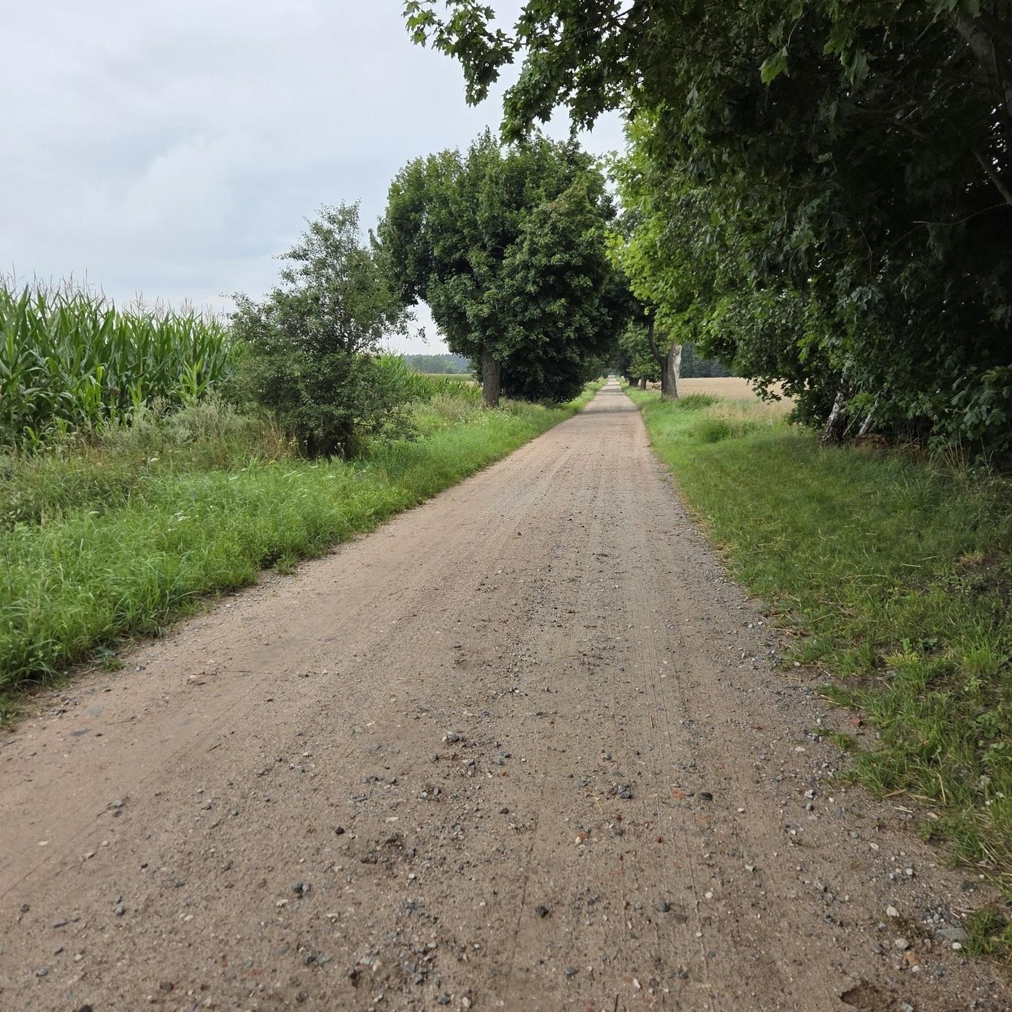
Alencon is an excellent place to drive on the former railway line. You can also continue along the path towards la Mele-sur-Sarthe. The track is absolutely flat, with firm gravel and plenty of shade. Ideal when the sun burns down from above in summer.
2
0

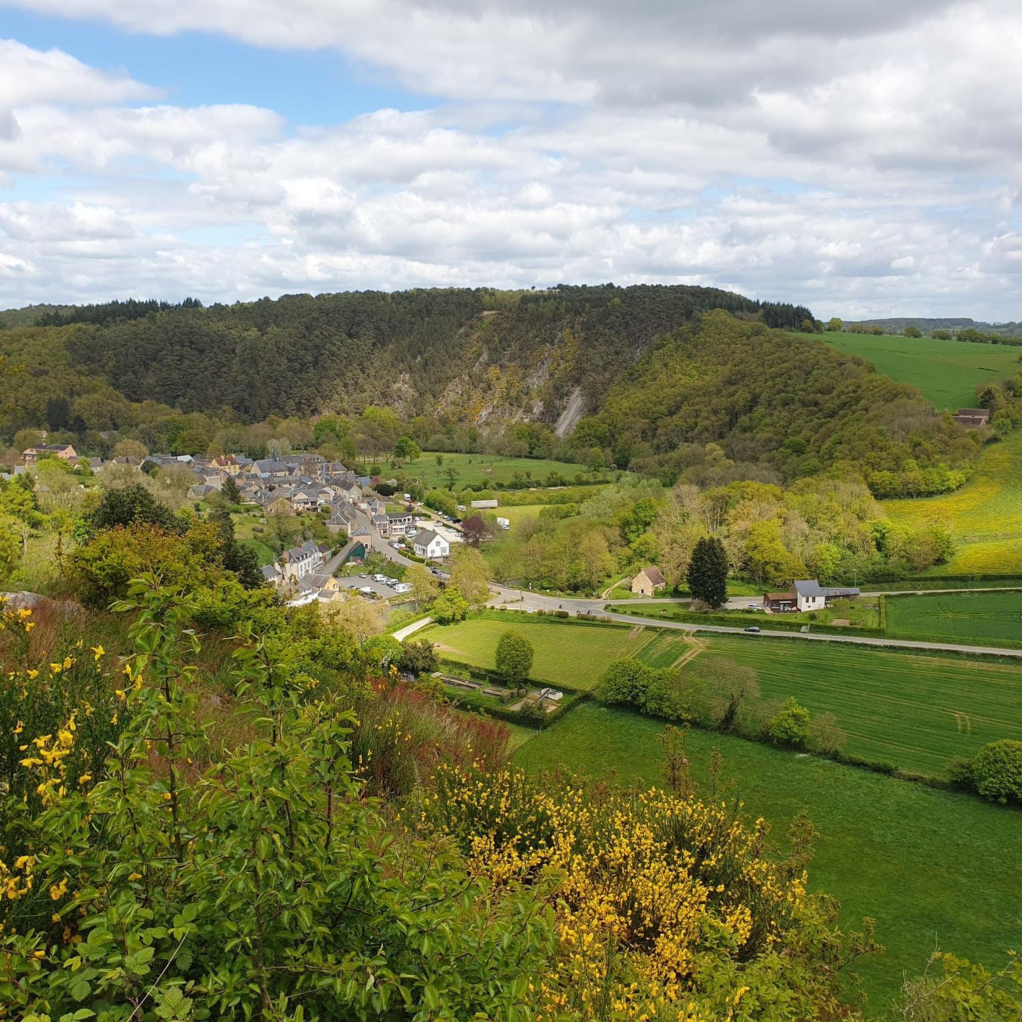
La Roche Mabile is a small village of barely 150 inhabitants, but the landscapes are worth seeing. Stone houses, small paths and hilly landscapes make La Roche Mabile a magnificent passage along the Véloscénie.
1
0

From Alençon to Carrouges, I passed through this village and as for Carrouges, it must be earned, these are magnificent places
0
0

A greenway on a former railway line between Orne and Mayenne. It connects Alençon, Pré-en-Pail and Rives d’andaines.
2
0
Small village crossed by the Véloscénie. Pretty landscapes of hilly countryside all around.
0
0

It is true that if you dare to defy the forbidden, the paths are nice
2
0
Frequently Asked Questions
How many running routes are available around Gandelain?
There are over 110 running routes around Gandelain documented on komoot, offering a wide range of options for different fitness levels and preferences. These routes are highly rated by the komoot community, with an average score of 4.6 stars.
What kind of terrain can I expect on the jogging trails near Gandelain?
The running trails around Gandelain feature a diverse mix of terrain. You'll find open agricultural landscapes, nearly 20% forest cover, and rolling hills. This blend provides varied scenery, from flat river routes to more challenging forest trails with significant elevation changes, catering to all types of runners.
Are there any easy running routes suitable for beginners or a relaxed jog?
Yes, Gandelain offers several easier running options. While many routes feature rolling hills, there are 7 routes classified as easy. For example, the Running loop from Saint-Denis-sur-Sarthon is a moderate 5.7 km path with minimal elevation gain, making it a good choice for a more relaxed pace.
Can I find circular running routes around Gandelain?
Yes, many of the running routes around Gandelain are circular, allowing you to start and finish at the same point. A popular option is the Forêt de Multonne loop from Champfrémont, an 8 km trail through the forest.
What are some scenic viewpoints or natural features I might encounter on the trails?
The region around Gandelain is rich in natural beauty. You can find several viewpoints offering expansive vistas, such as the Mont des Avaloirs viewpoint, which is the highest point in the French department of Mayenne. The trails also lead through extensive forests like Écouves and Perseigne, and along the Sarthe River, providing picturesque settings for your run.
Are there any family-friendly running trails in the Gandelain area?
While specific 'family-friendly' designations aren't always explicit, the region's diverse trails offer options. The easier, shorter routes with less elevation, such as those along river paths or through less challenging forest sections, would be suitable for families. Always check the route details for distance and elevation to ensure it matches your family's capabilities.
Are dogs allowed on the running trails near Gandelain?
Generally, dogs are welcome on many outdoor trails in France, especially in rural and forest areas, provided they are kept under control, often on a leash, and owners clean up after them. It's always advisable to check local signage or specific park regulations for any restrictions, particularly in nature reserves or protected areas like the Parc naturel régional et Géoparc Normandie-Maine.
What is the best time of year for jogging in Gandelain?
The best time for jogging in Gandelain typically spans from spring through autumn (April to October). During these months, the weather is generally mild and pleasant, with lush greenery in spring and vibrant colors in autumn. Summer offers longer daylight hours, though it can be warmer. Winter jogging is possible, but trails might be muddy or icy, especially in forested areas.
Are there any historical or cultural landmarks near the running routes?
Yes, the region offers several points of interest. For example, the historic Carrouges Castle is a notable landmark nearby. You might also encounter charming settlements like Saint-Cénéri-le-Gérei, known for its picturesque setting, or various chapels and monuments along the way, such as the Notre-Dame de Lourdes chapel in Lignières-la-Doucelle.
Where can I find parking near the running trails in Gandelain?
Parking availability varies by specific trailheads. Many routes, especially those starting from villages or popular natural sites, will have designated parking areas. For instance, routes like the Pré-en-Pail loop from Lalacelle or the La Roche-Mabile loop from La Roche-Mabile typically have parking options at their starting points. It's always recommended to check the specific route details on komoot for parking information.
Are there any challenging running routes for experienced trail runners?
Absolutely. Gandelain and its surroundings offer 17 routes classified as difficult, featuring significant elevation gains and varied terrain. A prime example is the La Roche-Mabile loop from La Roche-Mabile, an 13.8 km path with over 350 meters of elevation gain, characteristic of the local rolling hills.
Most popular attractions around Gandelain

Get inspired with the komoot mobile app


Explore more
Browse the best Running Trails & Routes in other regions.
