The best running trails around Würzweiler
4.4
(60)
1,390
runners
109
runs
Jogging routes around Würzweiler offer diverse and picturesque landscapes, making the region ideal for active exploration. The area is characterized by the prominent Donnersberg, the highest elevation in the Palatinate, providing a dramatic backdrop and opportunities for challenging runs. Well-maintained paths and varied terrain, including forest trails and open viewpoints, cater to different levels of running and outdoor activities. This combination of accessible trails and significant elevation changes makes Würzweiler an attractive destination for runners.
Best jogging routes around Würzweiler
…Last updated: July 10, 2026
21
runners
Hard run. Very good fitness required. Mostly paved surfaces. Suitable for all skill levels.
4.0
(2)
12
runners
20.5km
02:27
620m
620m
Hard run. Very good fitness required. Mostly paved surfaces. Suitable for all skill levels.

Sign up for free
5.0
(2)
18
runners
Hard run. Very good fitness required. Mostly paved surfaces. Suitable for all skill levels.
5.0
(1)
17
runners
6.79km
00:46
180m
180m
Moderate run. Good fitness required. Mostly paved surfaces. Suitable for all skill levels.
5.0
(2)
13
runners
7.96km
00:56
210m
210m
Moderate run. Good fitness required. Mostly paved surfaces. Suitable for all skill levels.
Get access to more routes and recommendations from other explorers.
Sign up for free
Already have an account?
Our route recommendations are based on thousands of hikes, rides, and runs completed by other people on komoot.
Start today with a free account
Your next adventure awaits.
Login or Signup
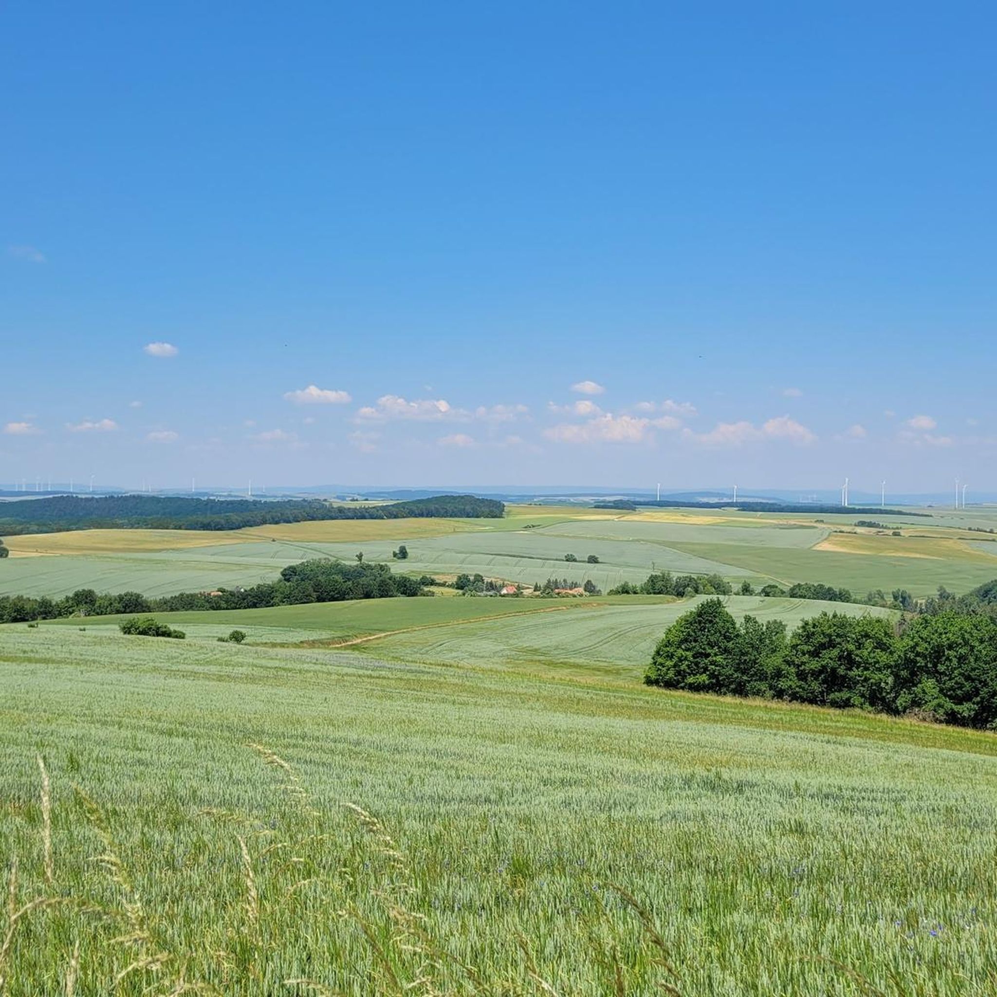
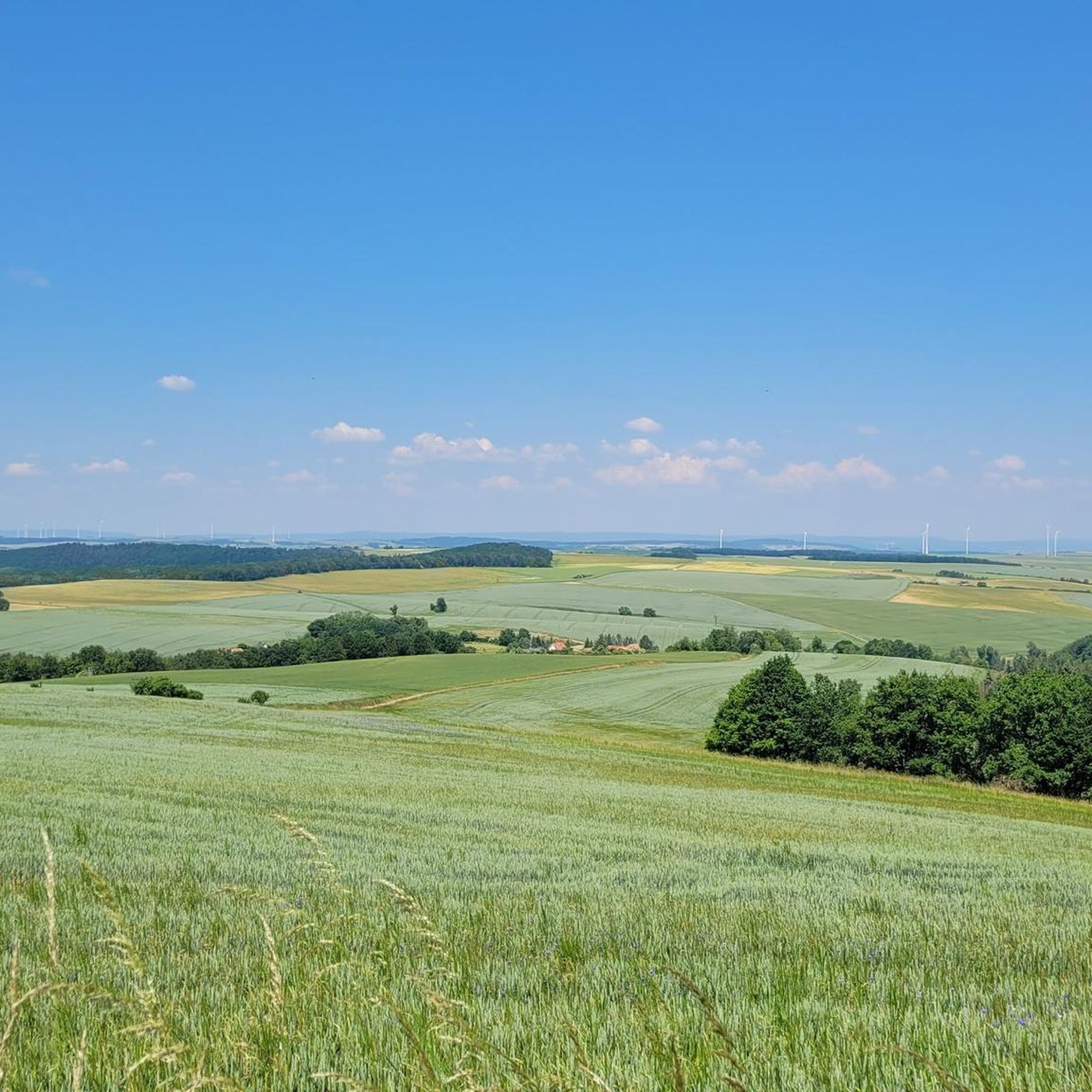
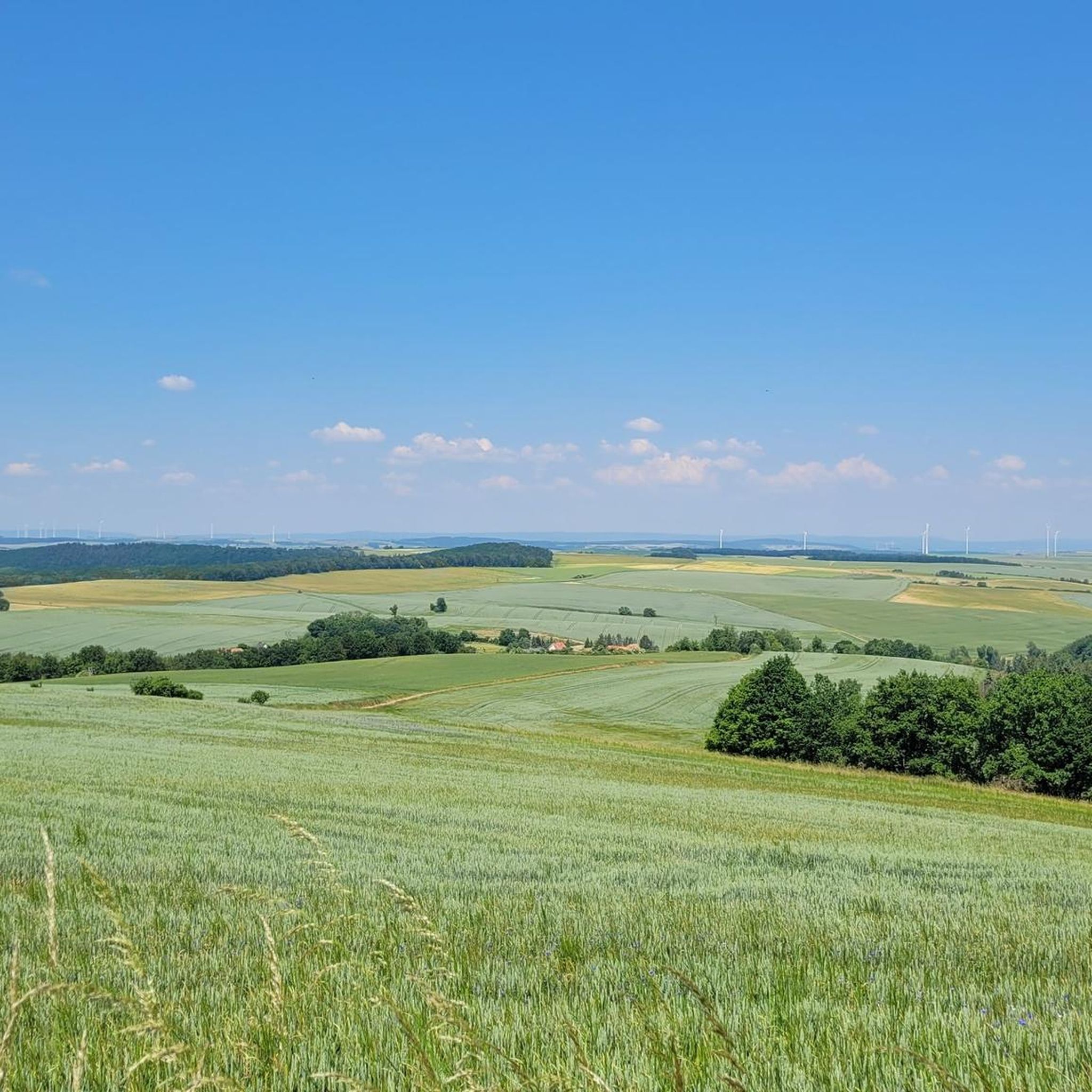
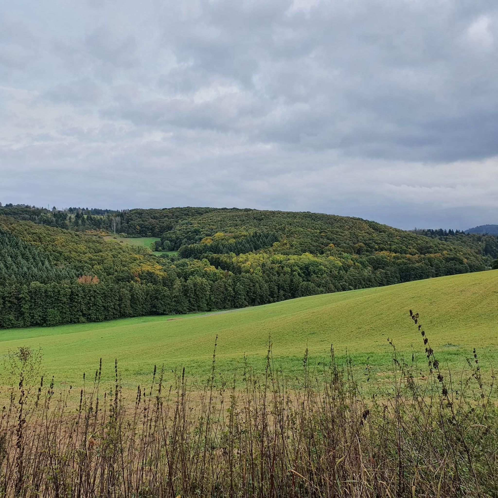
Tips from the Community

A very beautiful and somewhat adventurous section. Sturdy footwear, surefootedness, and hiking poles are more than helpful.
0
0
Impressive historical dam. The route is easy to walk, but consistently a bit stony. Sturdy footwear and poles are highly recommended.
0
0
Great trail! Sturdy footwear and poles are recommended here
0
0

One of the most beautiful places to enjoy the sunrise.
0
0

Beautiful, freestanding bell tower owned by the municipality
5
0
A stunningly beautiful view at the Eagle Arch, the selfie point here on the hillside
8
0

Sometimes you can watch paragliders take off. There are several benches, some with tables.
2
0
A beautiful but somewhat difficult trail, steep in places and with scree. Rocks and roots are obstructed.
0
0
Frequently Asked Questions
How many running trails are available around Würzweiler?
There are over 100 running trails around Würzweiler, offering a wide range of options for different fitness levels and preferences. The komoot community has mapped 108 routes in total, ensuring plenty of choices for your next run.
What kind of terrain can I expect on jogging routes near Würzweiler?
The region, dominated by the Donnersberg, offers diverse terrain from well-maintained forest paths to more challenging routes with significant elevation changes. You'll find a mix of moderate and difficult trails, with 56 moderate and 45 difficult routes available, providing varied experiences from gentle jogs to strenuous climbs.
Are there any running routes that offer panoramic views or scenic landmarks?
Absolutely! Many routes in the Würzweiler area feature stunning viewpoints. For example, the Ludwig Tower, Donnersberg – Hirtenfels Viewpoint loop from Donnersbergkreis offers panoramic views from the Hirtenfels. Other notable viewpoints in the wider Donnersberg area include the Aussichtspunkt Adlerbogen and the Königsstuhl summit, which can be incorporated into longer running loops.
Can I find any easy or beginner-friendly jogging routes in the area?
While many routes around Würzweiler are moderate to difficult due to the Donnersberg's terrain, there are still options for beginners. There are 7 easy routes available, often featuring less elevation gain and more gentle paths. These are perfect for those looking for a relaxed run or just starting their jogging journey.
What do other runners enjoy most about jogging in Würzweiler?
The running routes around Würzweiler are highly rated by the komoot community, with an average score of 4.36 stars from over 55 reviews. Runners often praise the diverse terrain, extensive forest paths, and the scenic viewpoints, especially those offering views of the Palatinate Forest and beyond. The combination of physical challenge and natural beauty is a common highlight.
Are there any circular running routes available?
Yes, many of the running routes around Würzweiler are designed as loops, allowing you to start and finish at the same point. Examples include the challenging Grohes Rondell – Kronbuchenhütte loop from Falkenstein and the shorter Hirtenfels Viewpoint – Ludwig Tower, Donnersberg loop from Donnersbergkreis, both offering a complete circuit through the beautiful landscape.
What are some interesting places to see near the running trails?
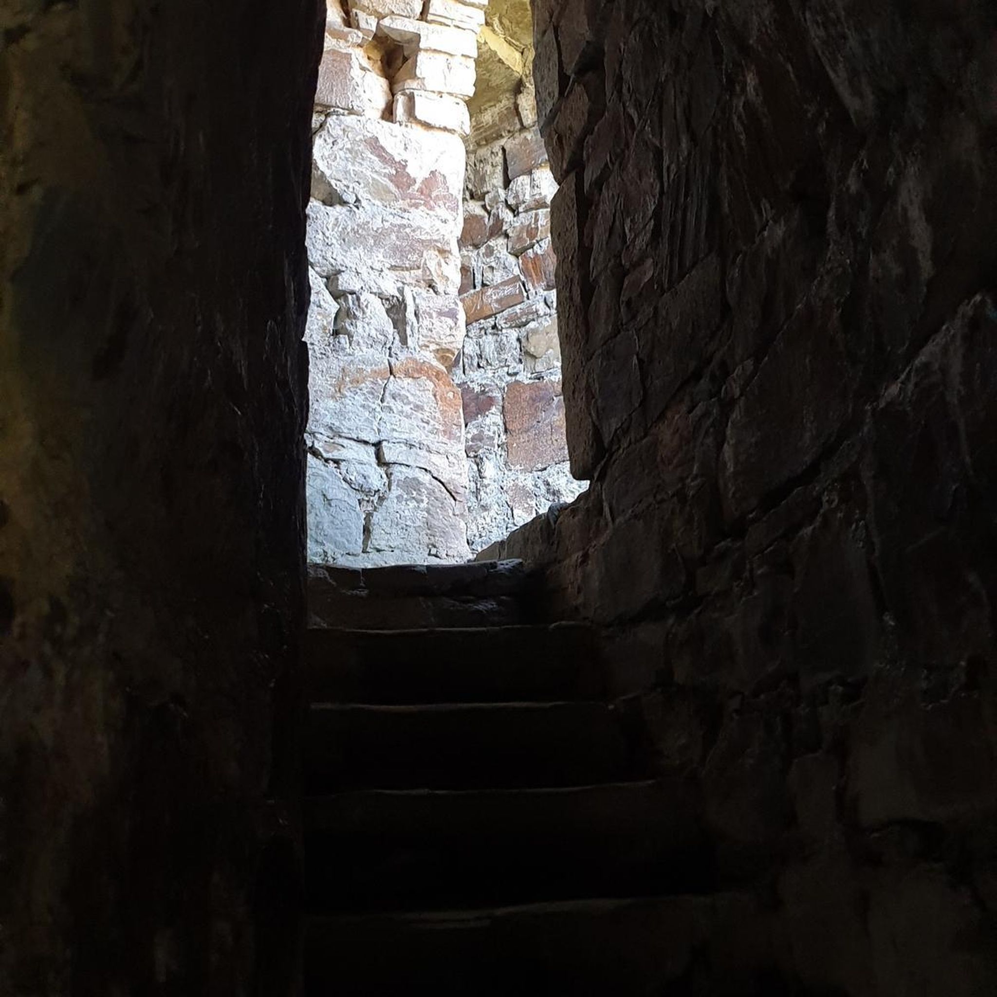
Beyond the trails themselves, the region offers several points of interest. You can explore natural features like the Falkenstein Gorge or the Wildensteiner Valley Nature Reserve Path. For those interested in local history or unique structures, the Steep stone steps in Falkensteiner Schlucht or the Nativity Scene at Falkensteiner Gorge are worth a visit. Many routes also pass by huts and viewpoints like the Hirtenfels Viewpoint or the Kronbuchenhütte.
Are the running routes around Würzweiler suitable for families?
The suitability for families depends on the specific route and the age/fitness level of the children. While some routes, especially the more challenging ones on the Donnersberg, might be too strenuous, the easier routes with less elevation are generally more family-friendly. It's advisable to check the difficulty grade and distance of a specific route, such as the Running loop from Gerbach, before heading out with younger family members.
Are there any dog-friendly running routes in the Würzweiler area?
Many of the natural trails and forest paths around Würzweiler are suitable for running with dogs, provided they are kept on a leash where required and you adhere to local regulations regarding nature reserves. The varied terrain and extensive woodlands offer a great environment for you and your canine companion to enjoy a run together. Always ensure your dog is fit enough for the chosen route and carry water for both of you.
What is the best time of year to go running in Würzweiler?
The Würzweiler region, with its diverse landscapes, is beautiful year-round. Spring and autumn offer pleasant temperatures and vibrant scenery, making them ideal for running. Summer can be great, especially in the cooler forest sections, but be mindful of midday heat. Winter running is also possible, though some higher or less maintained trails might be challenging due to snow or ice, so checking conditions beforehand is recommended.
Are there parking facilities available near the running trails?
Yes, many trailheads and popular starting points for running routes in the Würzweiler area, particularly around the Donnersberg, offer parking facilities. While specific parking details vary by route, you can generally find designated parking areas near villages or key access points to the trail network. It's always a good idea to check the route details on komoot for information on starting points and potential parking options.
Can I reach the running trails using public transport?
While Würzweiler itself is a smaller community, the wider Donnersberg region is accessible by public transport to varying degrees. Larger towns and villages surrounding the Donnersberg may have bus connections that can bring you closer to certain trailheads. For specific routes, it's recommended to check local bus schedules and connections to plan your journey to the starting point of your chosen running trail.
Most popular attractions around Würzweiler

Get inspired with the komoot mobile app


Explore more
Browse the best Running Trails & Routes in other regions.
