The best walks and hikes around Sorbon
4.4
(38)
221
hikers
43
hikes
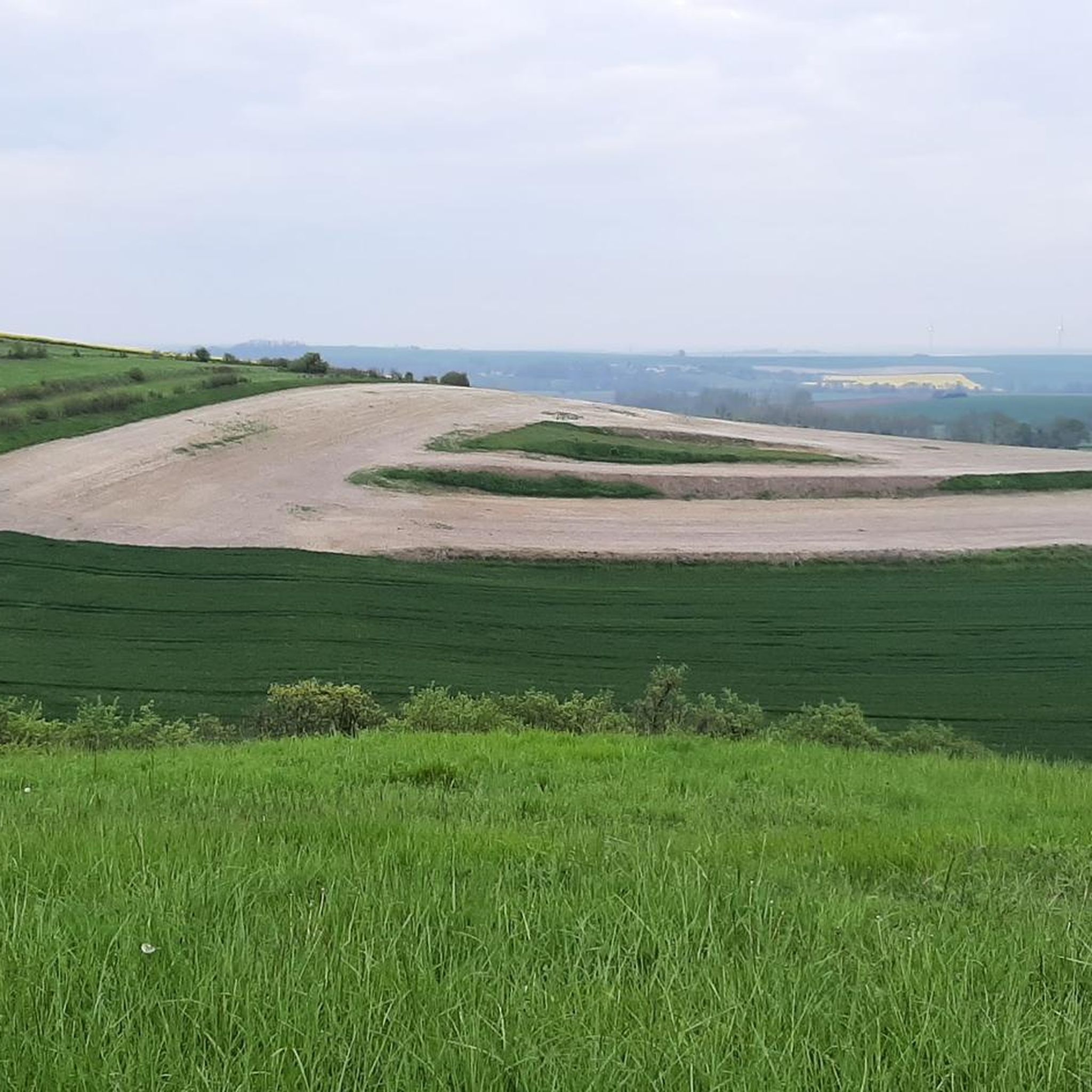
Hiking around Sorbon offers access to a network of trails through varied countryside in the Champagne-Ardenne region of France. The landscape features gently rolling terrain, agricultural fields, and sections of woodland, providing a mix of open views and sheltered paths. Elevation changes are generally moderate, with most routes involving gradual ascents and descents. The terrain is characteristic of rural French departments, suitable for walking and exploring local natural features.
Best hiking trails around Sorbon
- The most popular hiking route is…
Last updated: July 9, 2026
4.7
(6)
24
hikers
11.4km
02:53
20m
20m
Moderate hike. Good fitness required. Easily-accessible paths. Suitable for all skill levels.
4.7
(7)
26
hikers
6.65km
01:41
20m
20m
Easy hike. Great for any fitness level. Easily-accessible paths. Suitable for all skill levels.

Sign up for free
12
hikers
10.6km
02:44
60m
60m
Moderate hike. Good fitness required. Easily-accessible paths. Suitable for all skill levels.
5.0
(1)
23
hikers
7.17km
01:50
20m
20m
Easy hike. Great for any fitness level. Easily-accessible paths. Suitable for all skill levels.
5.0
(1)
8
hikers
7.21km
01:52
50m
50m
Easy hike. Great for any fitness level. Easily-accessible paths. Suitable for all skill levels.
Get access to more routes and recommendations from other explorers.
Sign up for free
Already have an account?
Our route recommendations are based on thousands of hikes, rides, and runs completed by other people on komoot.
Start today with a free account
Your next adventure awaits.
Login or Signup



Tips from the Community

This path along the Aisne runs a beautiful single track in the shade of the vegetation. An ideal bucolic route when the sun is at its peak!
0
0
The Sud-Ardennes greenway follows the Canal des Ardennes for more than 110 kilometers. This old towpath was developed to take advantage of the bucolic waterside setting. An ideal place for those looking for something sweet!
0
0

With a rich historical heritage, the town of Rethel is crossed by the famous Canal des Ardennes. This ancient city experienced significant economic expansion before being 80% destroyed by the Great Wars.
1
0


At the crossroads, the Thugny-Trugny lock is one of the many locks that line the Ardennes canal. You might be lucky enough to see a boat passing by...
2
0
After a short walk along the water's edge, it's time to discover the locks that dot the Canal des Ardennes.
0
0
Frequently Asked Questions
What kind of terrain can I expect on hiking trails around Sorbon?
Hiking around Sorbon features gently rolling landscapes, agricultural fields, and sections of woodland. The elevation changes are generally moderate, offering a mix of open views and sheltered paths characteristic of rural French departments.
Are there easy hiking trails suitable for beginners or families in Sorbon?
Yes, Sorbon offers a good selection of easy trails. Approximately half of the 47 available routes are rated as easy. A great option is the Rethel loop from Rethel, an easy 3.5-mile (5.6 km) path that provides a pleasant walk through the immediate surroundings of Rethel. Another easy choice is the Côte de Sainfoin loop from Sery, which is 3 miles (4.8 km) long.
How long do hikes around Sorbon typically take?
The duration of hikes in Sorbon varies depending on the route and your pace. For example, the easy Rethel loop from Rethel can be completed in about 1 hour 25 minutes, while the moderate Nature trail – Rethel typically takes around 2 hours 52 minutes. There are routes ranging from short walks to longer excursions, with the longest moderate trails taking over 3 hours.
Are there any challenging hiking routes in the Sorbon area?
While most trails in Sorbon are easy to moderate, there is at least one route classified as difficult among the 47 available hikes. These more challenging options will typically feature greater elevation changes or longer distances, providing a good workout for experienced hikers.
What are some interesting places to explore or landmarks near the hiking trails?
Around Sorbon, you can explore several points of interest. The town of Rethel itself is a notable settlement. You might also encounter a Lock crossing or sections of the Voie verte du canal des Ardennes. Historical sites include the Saint-Thibault Church in Château-Porcien and the Halle de Wasigny.
Are there circular walks available in Sorbon?
Yes, many of the trails around Sorbon are designed as circular routes, allowing you to start and end at the same point. Examples include the Rethel loop from Rethel and the Monts de Sery loop from Sery, which is a 4.7-mile (7.5 km) trail through rolling hills and woodlands.
What do other hikers say about the trails in Sorbon?
The hiking trails in Sorbon are highly rated by the komoot community, with an average score of 4.4 stars from over 30 reviews. Hikers often appreciate the varied terrain, which includes rolling countryside, agricultural landscapes, and forest paths, making for enjoyable and accessible outdoor experiences.
Is public transport available to access hiking trails around Sorbon?
While specific public transport links directly to trailheads can vary, the region around Sorbon is generally rural. It's advisable to check local bus schedules or regional train services to nearby towns like Rethel, and then plan for a short walk or taxi ride to reach your desired starting point. Driving is often the most flexible option for accessing many trailheads.
Is Sorbon a good destination for winter hiking?
Sorbon's gently rolling landscapes mean that many trails remain accessible in winter, provided there isn't heavy snowfall. The woodlands can offer sheltered paths. However, always check local weather conditions and trail reports before heading out, and be prepared for potentially muddy or icy sections. Shorter, easier routes might be more suitable during colder months.
What is the best time of year to go hiking in Sorbon?
The best time for hiking in Sorbon is typically from spring through autumn. Spring brings blooming wildflowers and mild temperatures, while autumn offers beautiful foliage and comfortable hiking conditions. Summer is also pleasant, though it can be warmer, especially in open agricultural areas. Always check the weather forecast before your hike.
Are there any cafes or places to eat near the hiking trails in Sorbon?
While specific cafes directly on trailheads are uncommon in rural areas, you'll find amenities in nearby towns. Rethel, for instance, is a larger settlement close to several popular routes and offers various options for refreshments and meals before or after your hike.
How many hiking trails are available in the Sorbon region?
There are over 45 hiking trails available around Sorbon, offering a wide range of options for different skill levels and preferences. This includes 23 easy, 23 moderate, and 1 difficult route.
Most popular attractions around Sorbon

Get inspired with the komoot mobile app


Explore more
Browse the best Hikes in other regions.
