The best walks and hikes around Signy-Montlibert
4.6
(1009)
5,570
hikers
236
hikes
Hiking around Signy-Montlibert offers access to varied terrain, characterized by rolling hills, dense woodlands, and open agricultural fields. The region features elevated areas like Mont Saint Walfroy, providing panoramic views of the surrounding landscape. Trails often follow natural water sources and traverse a mix of forest paths and rural tracks. This area provides opportunities for exploring the natural environment through a network of established routes.
Best hiking trails around Signy-Montlibert
- The most popular hiking route is Mont Saint Walfroy — loop from chapel St Donat, a 7.9 miles (12.7 km) trail that takes 3 hours 29 minutes to complete, offering views from elevated terrain.
- Another top favourite among local hikers is Saint-Walfroy and the Pays des sources – Margut, a difficult 13.7 miles (22.1 km) path. This route explores the area's natural springs and diverse landscapes.
- Local hikers also love the Saint Donat Chapel – Covered Picnic Area loop from Thonne-le-Thil, a 9.5 miles (15.3 km) trail leading through woodlands and open countryside, often completed in about 4 hours 21 minutes.
- Hiking around Signy-Montlibert is defined by its rolling hills, extensive forests, and open fields, with routes suitable for various ability levels. The network includes easy hikes and more challenging paths.
- The routes in Signy-Montlibert are highly rated by the komoot community with an average score of 4.6 stars from over 800 reviews. More than 4000 hikers have used komoot to explore Signy-Montlibert's varied terrain.
Last updated: July 19, 2026
4.7
(3)
12
hikers
12.7km
03:29
200m
200m
Moderate hike. Good fitness required. Easily-accessible paths. Suitable for all skill levels.
5.0
(1)
5
hikers
22.1km
06:17
500m
500m
Hard hike. Very good fitness required. Easily-accessible paths. Suitable for all skill levels.

Sign up for free
4.7
(3)
18
hikers
15.4km
04:23
350m
350m
Moderate hike. Good fitness required. Easily-accessible paths. Suitable for all skill levels.
4.5
(4)
20
hikers
7.20km
02:02
160m
160m
Moderate hike. Good fitness required. Easily-accessible paths. Suitable for all skill levels.
5.0
(1)
10
hikers
7.19km
02:10
250m
250m
Moderate hike. Good fitness required. Easily-accessible paths. Suitable for all skill levels.
Get access to more routes and recommendations from other explorers.
Sign up for free
Already have an account?
Our route recommendations are based on thousands of hikes, rides, and runs completed by other people on komoot.
Start today with a free account
Your next adventure awaits.
Login or Signup
Tips from the Community

Beautiful but it is closed. Falling debris.
0
0

Fort du Chesnois is a fortified structure of the Maginot Line, located in the Ardennes communes of Signy-Montlibert and the Meuse commune of Thonne-le-Thil. It was built between 1934 and 1938, and was spared by the fighting of May and June 1940.
0
0
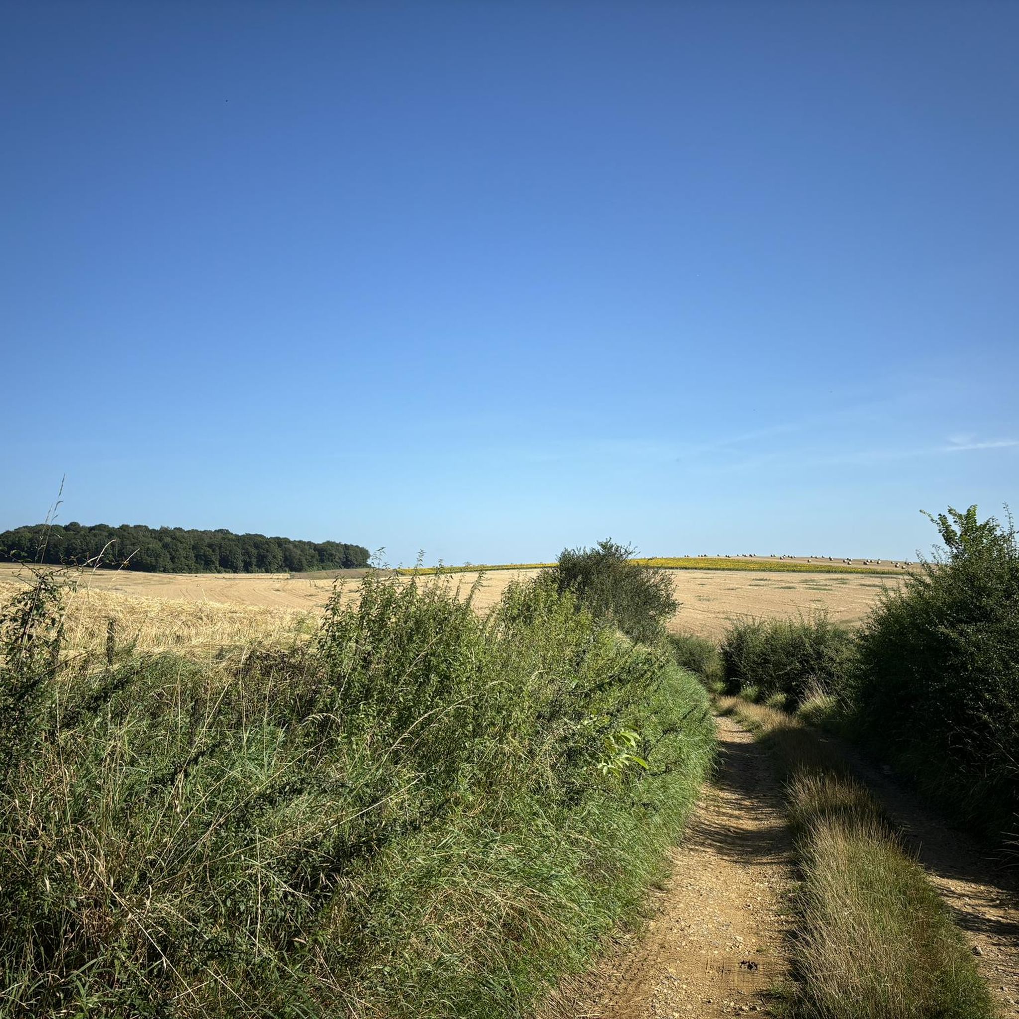
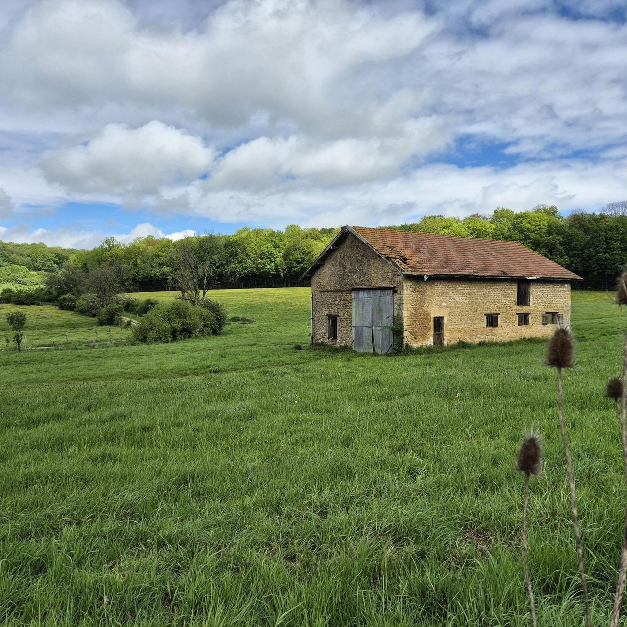
This dirt path winds between green fields on one side and the forest on the other. With a little luck you might come across a few cows grazing!
0
0
The Gothic church of Saint-Michel d'Erbeuval was built in 1888. It features neo-Gothic furniture and its stained-glass windows are by the glass painters Bulteau (Reims) and Étienne et Mouilleron (Bar-le-Duc).
3
0

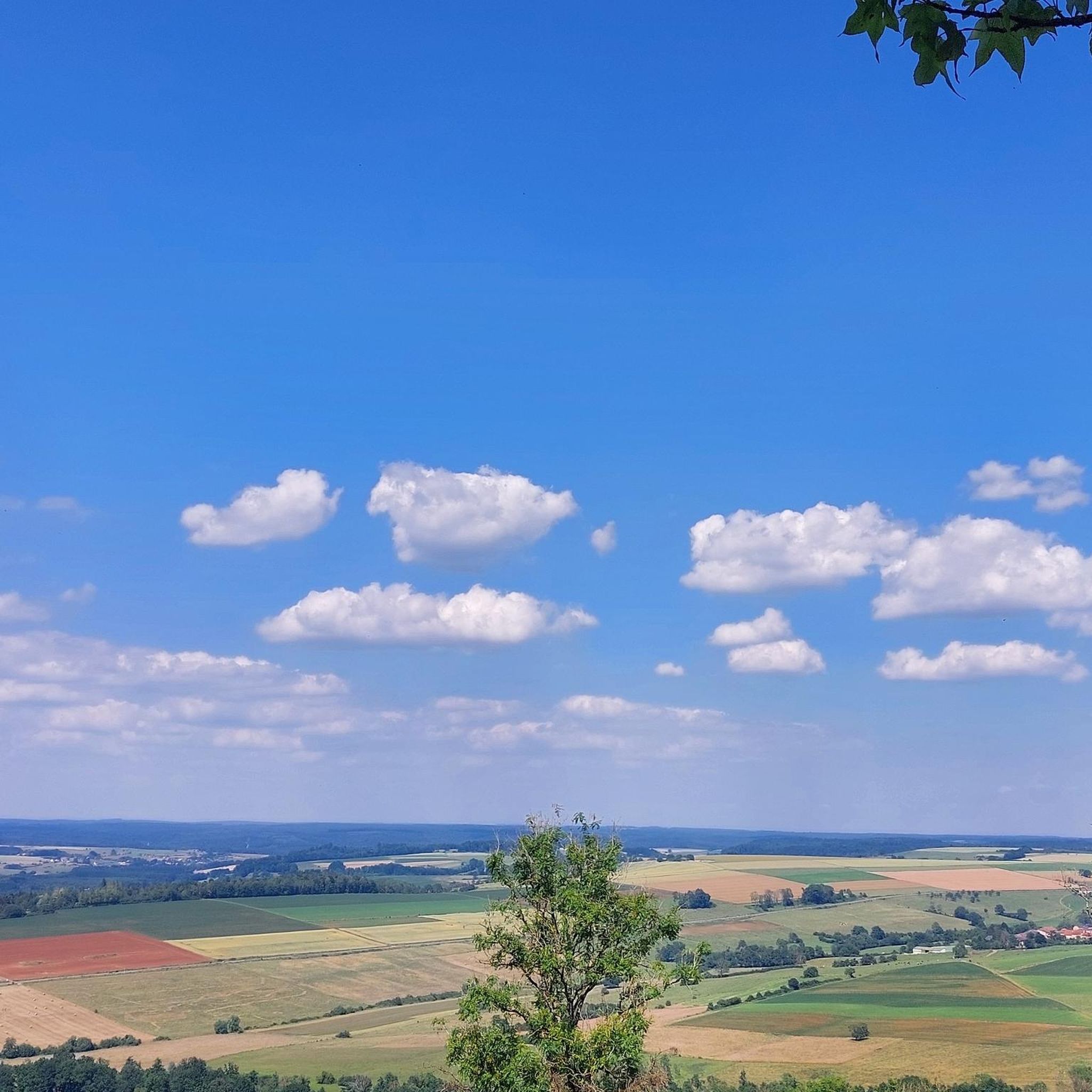
Magnificent view on a clear day. A few minutes of rest is good after this climb++
1
0

It's worth taking a break from your run to appreciate the breathtaking views of the rolling landscapes of the Ardennes.
2
0
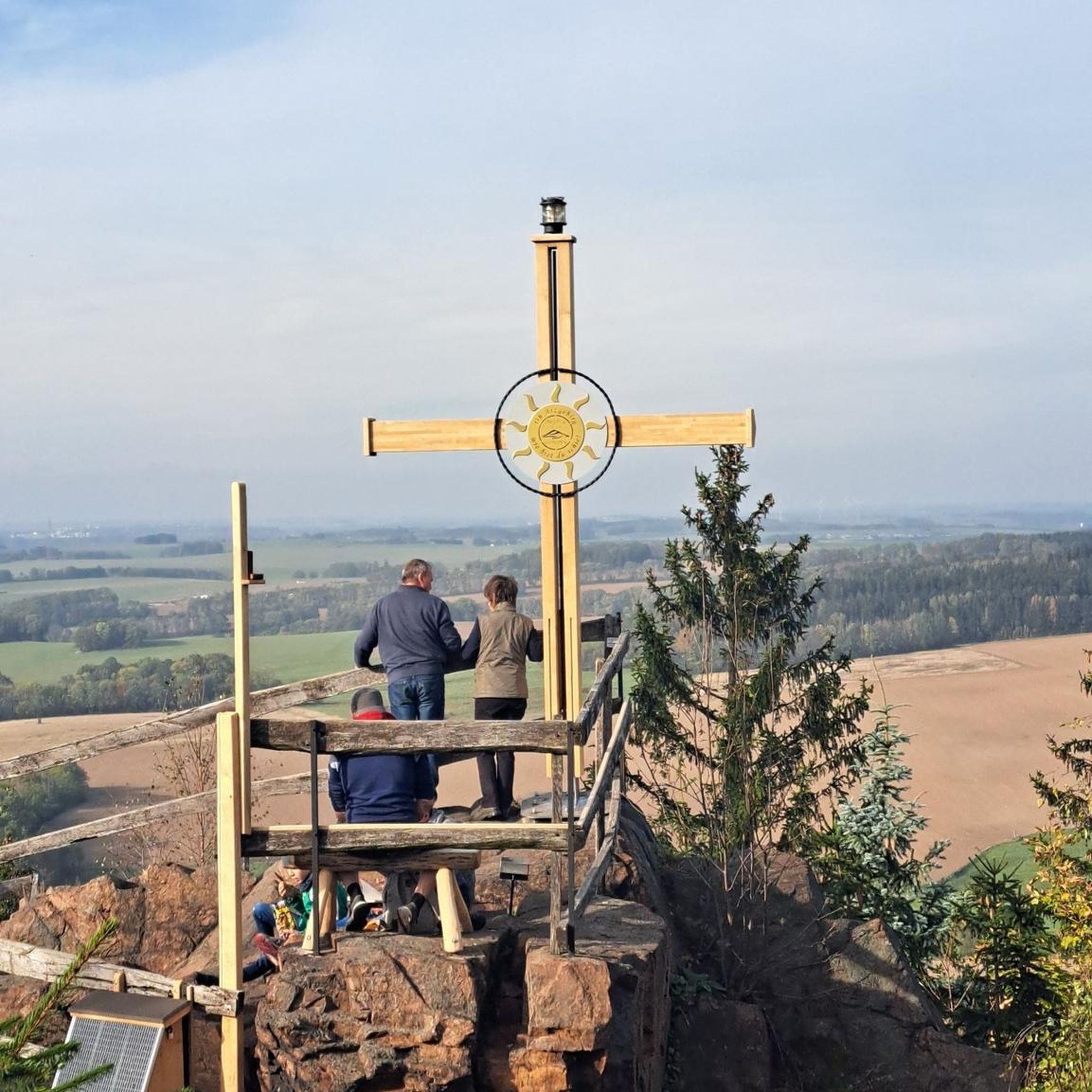
Mont Saint-Walfroy was formerly a place of pagan worship, then a hermitage of Saint Walfroy, the apostle of the Ardennes. You will appreciate the panoramic views of the Meuse valley and the surrounding forests, as well as the historical and religious importance of this place. Along the way, you will pass by the Chapelle Saint-Donat, a small chapel dedicated to a local saint.
2
0
Mont Saint-Walfroy was once a place of pagan worship, before being chosen to build the hermitage of Saint-Walfroy, the apostle of the Ardennes. You will appreciate the panoramic views of the Meuse valley and the surrounding forests, as well as the historical and religious importance of this place. Along the way, you will pass by the Chapelle Saint-Donat, a small chapel dedicated to a local saint.
3
0
Frequently Asked Questions
How many hiking trails are available around Signy-Montlibert?
There are over 210 hiking routes around Signy-Montlibert. These trails offer a variety of experiences, from easy walks to more challenging paths, traversing rolling hills, dense woodlands, and open agricultural fields.
Are there easy hiking trails suitable for beginners or families in Signy-Montlibert?
Yes, Signy-Montlibert offers a good selection of easy trails. With over 60 routes classified as easy, you can find paths suitable for beginners or family outings. These often lead through woodlands and open countryside, providing a gentle introduction to the region's natural beauty.
What kind of terrain can I expect on hikes around Signy-Montlibert?
The terrain around Signy-Montlibert is characterized by rolling hills, extensive forests, and open agricultural fields. Many trails follow natural water sources and feature a mix of forest paths and rural tracks. Elevated areas like Mont Saint Walfroy provide panoramic views.
Are there any circular hiking routes in Signy-Montlibert?
Yes, many of the trails around Signy-Montlibert are circular. For example, the Mont Saint Walfroy — loop from chapel St Donat is a popular moderate 7.9-mile (12.7 km) option, offering views from elevated terrain. Another is the Saint Donat Chapel – Covered Picnic Area loop from Thonne-le-Thil, which is 9.5 miles (15.3 km) through woodlands.
What are some notable viewpoints or landmarks to see on hikes?
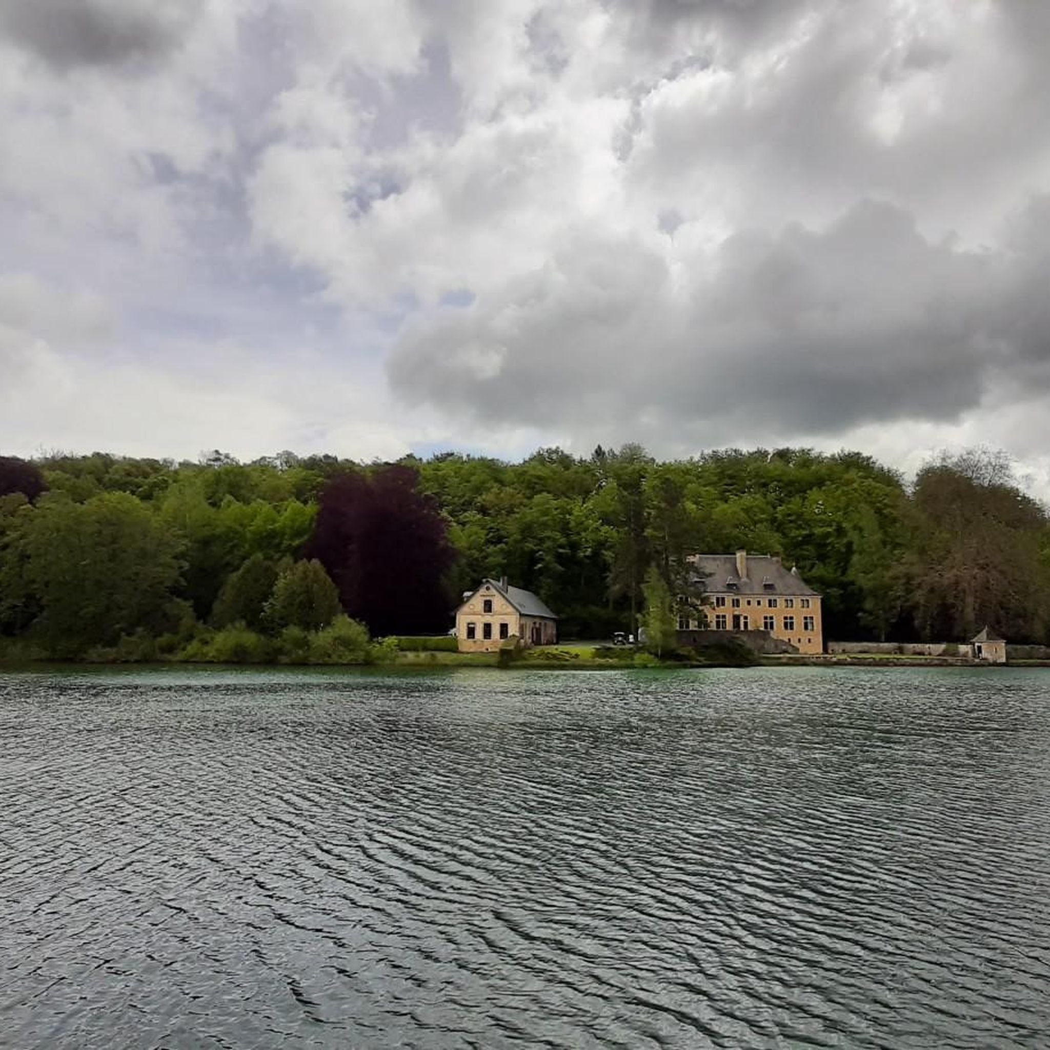
The region features several interesting points. Mont Saint Walfroy itself offers excellent panoramic views. You can also find highlights like the View of the Abbey's castle, or visit the historic Orval Abbey and the Basilica of Our Lady of Avioth, which are accessible from some routes.
Are there any trails that explore natural springs or water features?
Yes, the area is known for its natural water sources. The difficult 13.7-mile (22.1 km) route, Saint-Walfroy and the Pays des sources – Margut, specifically explores the region's natural springs and diverse landscapes.
What do other hikers enjoy most about hiking in Signy-Montlibert?
The komoot community highly rates the hiking experience in Signy-Montlibert, with an average score of 4.6 stars from over 800 reviews. Hikers often praise the varied terrain, the quiet woodlands, and the well-maintained paths that allow for exploration of the region's natural environment.
Are there any trails that offer a good mix of forest and open fields?
Absolutely. Many routes in Signy-Montlibert traverse both dense woodlands and open agricultural fields. The Path Between Forest and Fields loop from Sapogne-sur-Marche is a moderate 4.5-mile (7.2 km) trail that perfectly exemplifies this mix, offering diverse scenery.
What is the typical duration for hikes in this area?
Hikes around Signy-Montlibert vary significantly in duration. You can find shorter walks lasting a couple of hours, while longer, more challenging routes like Saint-Walfroy and the Pays des sources – Margut can take over 6 hours to complete. Most moderate trails typically range from 3 to 5 hours.
Is there parking available at the trailheads?
While specific parking details vary by trailhead, many popular starting points for hikes around Signy-Montlibert, especially those near villages or attractions, offer designated parking areas. It's advisable to check the individual tour details on komoot for specific parking information for your chosen route.
Are there any trails that lead to lakes or ponds?
Yes, the region includes several water bodies. Some trails may lead you near or to highlights such as the Ponds or the Lake of La Soye, offering serene natural settings.
Most popular routes around Signy-Montlibert
Most popular attractions around Signy-Montlibert

Get inspired with the komoot mobile app


Explore more
Browse the best Hikes in other regions.
