The best running trails around Hinterweiler
4.4
(795)
3,820
runners
253
runs
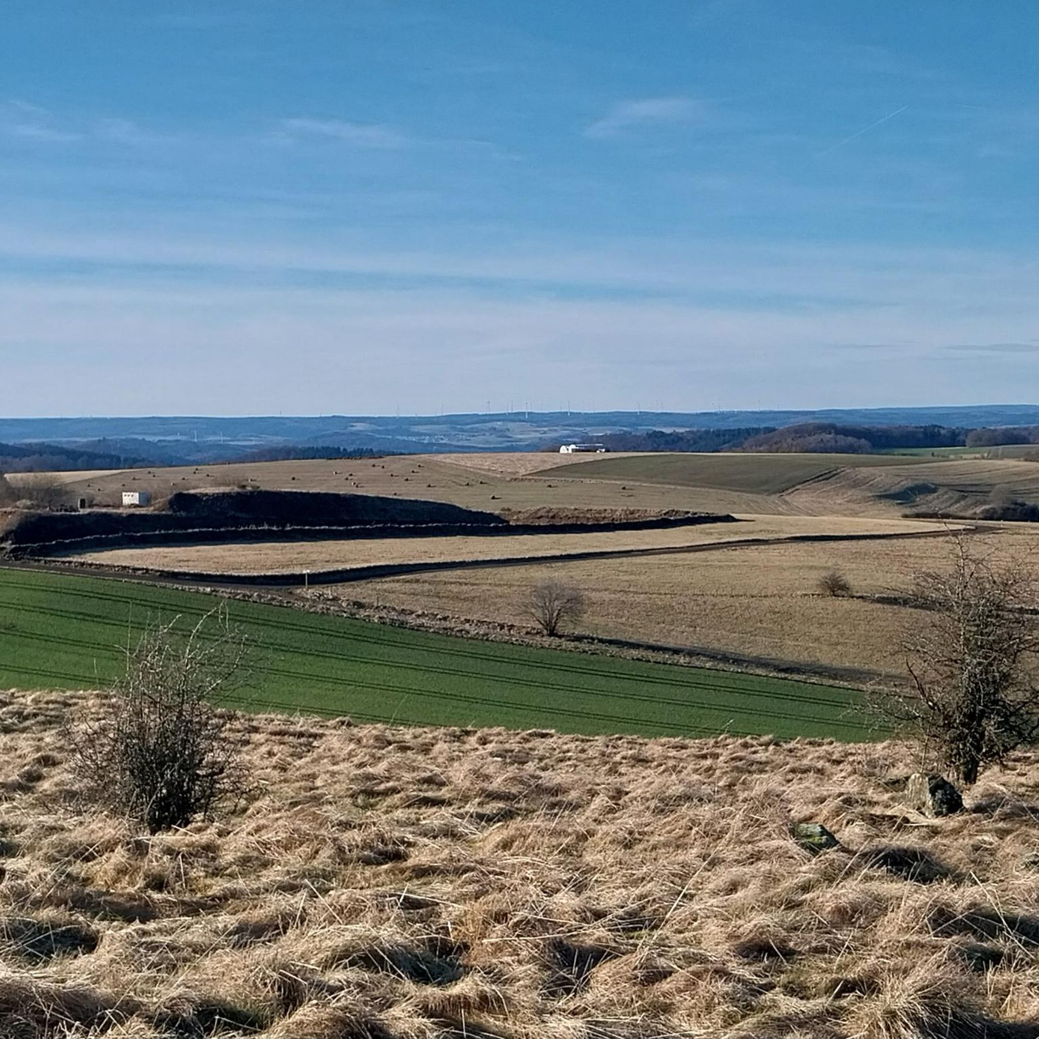
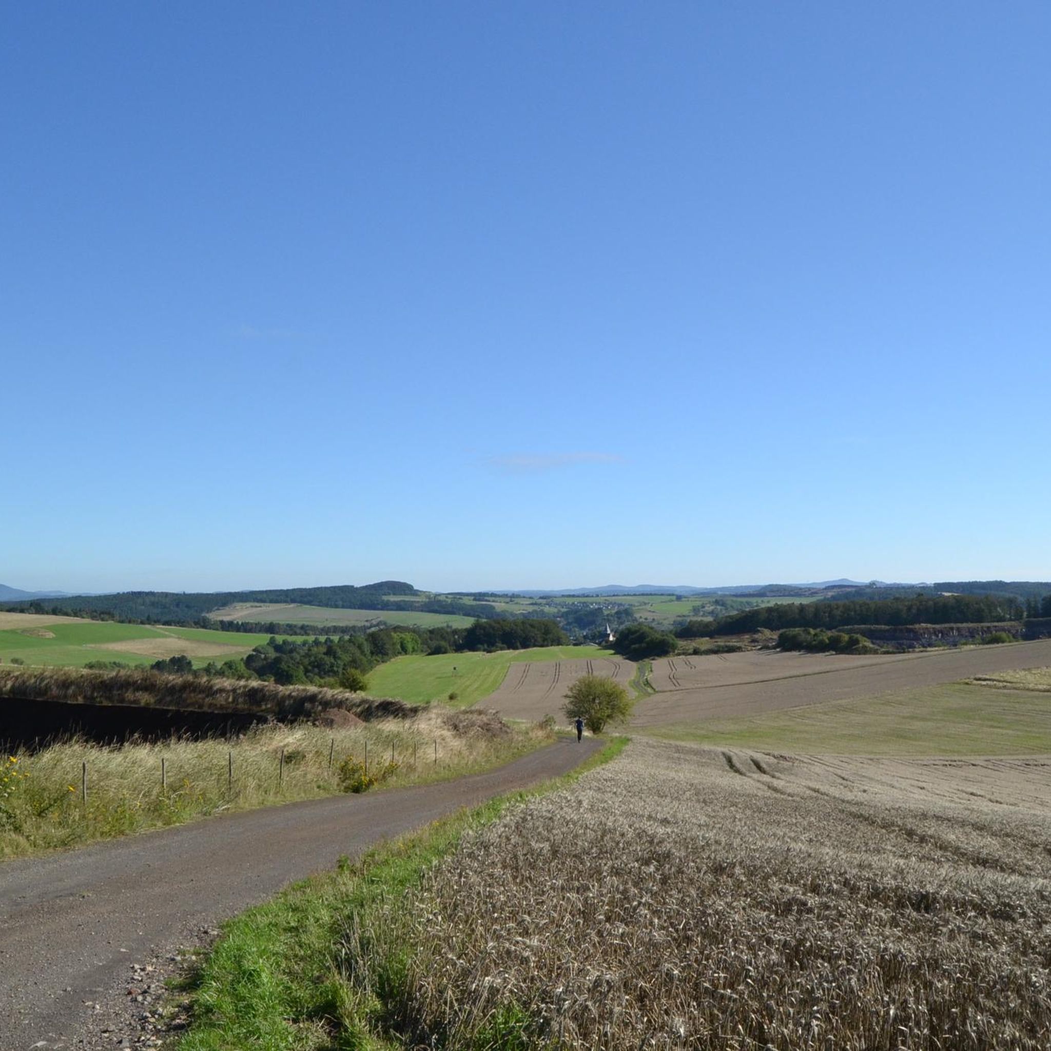
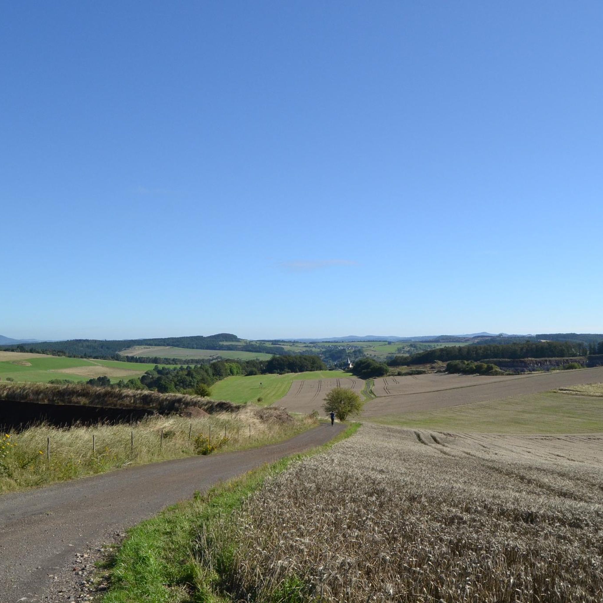
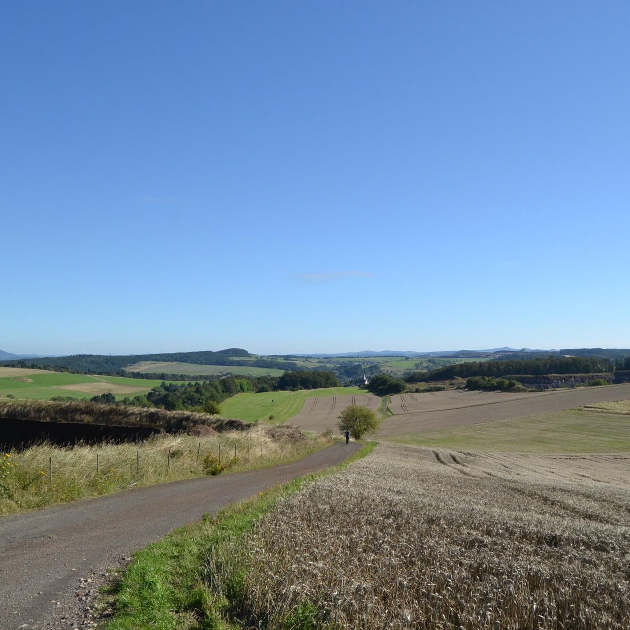
Jogging around Hinterweiler offers diverse routes through the Vulkaneifel region, characterized by its unique volcanic landscapes. The terrain features maars, extinct volcanoes, and dense forests, providing varied running experiences. Joggers can explore paths ranging from gentle trails around crater lakes to more demanding ascents on volcanic hills. This geological history has sculpted an environment with both challenging and scenic running opportunities.
Best jogging routes around Hinterweiler
- The most popular jogging route is Kirchweiler Rohr loop from Landkreis Vulkaneifel, a…
Last updated: June 26, 2026
4.0
(2)
10
runners
6.29km
00:40
70m
70m
Moderate run. Good fitness required. Mostly paved surfaces. Suitable for all skill levels.
5.0
(1)
10
runners
10.4km
01:09
140m
140m
Moderate run. Good fitness required. Mostly paved surfaces. Suitable for all skill levels.

Sign up for free
5.0
(1)
7
runners
6.15km
00:39
70m
70m
Moderate run. Good fitness required. Mostly paved surfaces. Suitable for all skill levels.
3.0
(1)
9
runners
11.1km
01:11
120m
120m
Moderate run. Good fitness required. Mostly paved surfaces. Suitable for all skill levels.
5
runners
4.90km
00:31
50m
50m
Easy run. Great for any fitness level. Mostly paved surfaces. Suitable for all skill levels.
Get access to more routes and recommendations from other explorers.
Sign up for free
Already have an account?
Our route recommendations are based on thousands of hikes, rides, and runs completed by other people on komoot.
Start today with a free account
Your next adventure awaits.
Login or Signup

Other adventures around Hinterweiler

Tips from the Community


The Donatus Chapel in the Gemünden district of Daun was built in 1713, even if the sign or other publications claim 1731. At that time, from an ecclesiastical perspective, Gemünden was entirely part of the Archdiocese of Cologne. And as is still customary today, the episcopal authorities sent clerical administrative officers (visitors) to the parishes at regular intervals to check and inspect what was going on. A report was then written about it. And in. Cologne Diocesan Archives contain a note under the year 1716 that an oratory (=place of worship) was built in Gemünden under Pastor Faber before 1716 with the help of the neighbors. This confirms the assumption that the chapel was built in 1713.
0
0

The cattle scales in the school stable were in operation from 1937 to 1983.
2
1

A beautiful little chapel with an old little organ. Very nice👍👍
2
0
A small reservoir. But water enough to enjoy.
2
1

"The small chapel was built in 1713 from rubble stones and is around 4 m wide and 9 m long. There are only small windows on the south side. The year 1731 is carved on the lintel, ..." https://kulturdb.de/einobjekt.php?id=830
2
0

Beautiful valley views and side mountains. Good to hike on foot.
0
0

"... At the mouth of the Pützbach into the Lieser, which gave the small, idyllic village of 180 inhabitants the name Gemünden, there is an almost inconspicuous chapel that is worth stopping for a while. It is only 3.80 m wide and 9.60 m long and offers seating for around 30. Built from Eitler rubble, it has a small slate tower with a helmet, from which a bright bell next to the daily "Angel of the Lord" calls the believers to the service once a week. The chapel is dedicated to St. dedicated to Donatus. According to Schug, the year 1731 could be read above the entrance door, the year in which the pastor probably received permission to hold services for the residents of Gemünden. ..." +++CONTINUED and MORE INFORMATION: https://www.heimatjahrbuch-vulkaneifel.de/VT/hjb1987/hjb1987.75.htm https://www.daun-gemuenden.de/cms/wp-content/uploads/2020/03/Chronik-Gem%C3%BCnden.pdf
0
0
Frequently Asked Questions
How many running routes are available around Hinterweiler?
The komoot community has mapped over 260 running routes in the Hinterweiler area, offering a wide variety of options for different fitness levels and preferences.
What kind of terrain can I expect on running routes around Hinterweiler?
The Vulkaneifel region, where Hinterweiler is located, is characterized by its unique volcanic landscapes. You'll find diverse terrain including paths around maars (volcanic lakes), trails through dense forests, and ascents on extinct volcanoes. This provides a mix of gentle paths and more demanding sections.
Are there challenging running routes in the Vulkaneifel region?
Yes, the Vulkaneifel offers routes with varying difficulty. While there are many moderate trails, you can find more challenging ascents, especially on volcanic hills like the Ernstberg, the highest mountain in the Vulkaneifel. Overall, there are 30 difficult routes available for experienced runners.
What natural features or landmarks can I see while running near Hinterweiler?
Runners can enjoy stunning natural features such as the Dauner Maare, including Gemündener Maar and Schalkenmehrener Maar, which offer incredibly scenic circular paths. You might also encounter the Dronke Tower on the Mäuseberg for panoramic views, or the unique Dreimühlen Waterfall, a popular artificial waterfall.
Are there family-friendly running routes suitable for all ages around Hinterweiler?
Yes, the extensive trail network includes many routes suitable for families. While specific 'family-friendly' routes aren't explicitly categorized, the region offers numerous well-signposted paths through forests and meadows that are less strenuous, perfect for a leisurely run with children. There are 32 easy routes in total.
Can I find circular running routes in Hinterweiler?
Absolutely. The region is known for its circular paths, especially around the scenic maars like the Schalkenmehrener Maar. Many of the local trails, including those around the village itself, are designed as circular routes, allowing you to start and finish at the same point.
What do other runners enjoy the most about jogging in Hinterweiler?
The area is highly rated by the komoot community, with an average score of 4.4 stars from over 700 reviews. Runners often praise the diverse volcanic landscapes, the beauty of the maars, and the refreshing experience of running through dense forests and wildflower meadows.
Are there any running routes that pass by reservoirs?
Yes, several popular running routes in the area feature reservoirs. For example, the Dreis-Brück Reservoir loop from Dockweiler offers scenic reservoir views, and the Dreis Reservoir loop from Dockweiler leads through forests and past the reservoir.
What is the best time of year for running in Hinterweiler?
Hinterweiler offers great running opportunities year-round. Spring and summer are particularly beautiful, with lush forests and wildflower meadows. The volcanic landscape provides a unique backdrop in any season, though checking local weather conditions is always advisable, especially in winter.
Are there any viewpoints along the running trails in Hinterweiler?
Yes, the Vulkaneifel region is rich in viewpoints. The Dronke Tower on the Mäuseberg offers magnificent panoramas over the maars. Additionally, trails like the "HeimatSpur Ernstberg Panorama Trail" provide scenic vistas across the landscape.
How long are the running routes typically around Hinterweiler?
The running routes around Hinterweiler vary significantly in length. You can find shorter loops, such as the Kirchweiler Rohr loop from Landkreis Vulkaneifel at 6.3 km, to longer trails like the St. Donatus Chapel Gemünden loop from Steinborn, which is over 11 km.
Most popular routes around Hinterweiler
Most popular attractions around Hinterweiler

Get inspired with the komoot mobile app


Explore more
Browse the best Running Trails & Routes in other regions.
