The best mountain hikes in the Hunsrueck
4.8
(47)
194
hikers
27
hikes
Mountaineering routes in the Hunsrück traverse a low mountain range characterized by diverse terrain. The region features gentle mountain ranges alongside deep gorges, imposing cliffs, and marshy moors. Extensive forests, meadows, and river valleys define the landscape, offering varied challenges for mountaineers. The highest point, Erbeskopf, reaches 816 meters (2,677 ft), providing significant elevation gains.
Best mountaineering routes in the Hunsrueck
- The most popular mountaineering route is Calmont Via Ferrata Entrance – View of Ediger-Eller loop from Bremm, a…
Last updated: July 15, 2026
4.9
(10)
37
hikers
5.59km
01:57
150m
150m
Hard mountaineering route. Great for any fitness level. Sure-footedness, sturdy shoes and alpine experience required.
5.0
(11)
42
hikers
10.8km
03:50
400m
400m
Hard mountaineering route. Good fitness required. Sure-footedness, sturdy shoes and alpine experience required.

Sign up for free
11
hikers
Hard mountaineering route. Very good fitness required. Sure-footedness, sturdy shoes and alpine experience required.
5.0
(2)
9
hikers
Moderate mountaineering route. Good fitness required. Mostly accessible paths. Sure-footedness required.
5.0
(1)
3
hikers
5.82km
02:06
320m
320m
Moderate mountaineering route. Good fitness required. Mostly accessible paths. Sure-footedness required.
4.0
(1)
6
hikers
Moderate mountaineering route. Good fitness required. Mostly accessible paths. Sure-footedness required.
5.0
(2)
4
hikers
2.96km
01:10
150m
150m
Hard mountaineering route. Great for any fitness level. Sure-footedness, sturdy shoes and alpine experience required.
8
hikers
13.2km
03:54
320m
320m
Hard mountaineering route. Good fitness required. Sure-footedness, sturdy shoes and alpine experience required.
2
hikers
2.92km
01:00
100m
100m
Hard mountaineering route. Great for any fitness level. Sure-footedness, sturdy shoes and alpine experience required.
6
hikers
Hard mountaineering route. Very good fitness required. Easily-accessible paths. Suitable for all skill levels.
Get access to more routes and recommendations from other explorers.
Sign up for free
Already have an account?
Our route recommendations are based on thousands of hikes, rides, and runs completed by other people on komoot.
Start today with a free account
Your next adventure awaits.
Login or Signup
Popular around Hunsrueck

European Divide Trail — 7,600 km across the continent

Saar-Hunsrück Climb – Hike in Germany where culture and nature meet
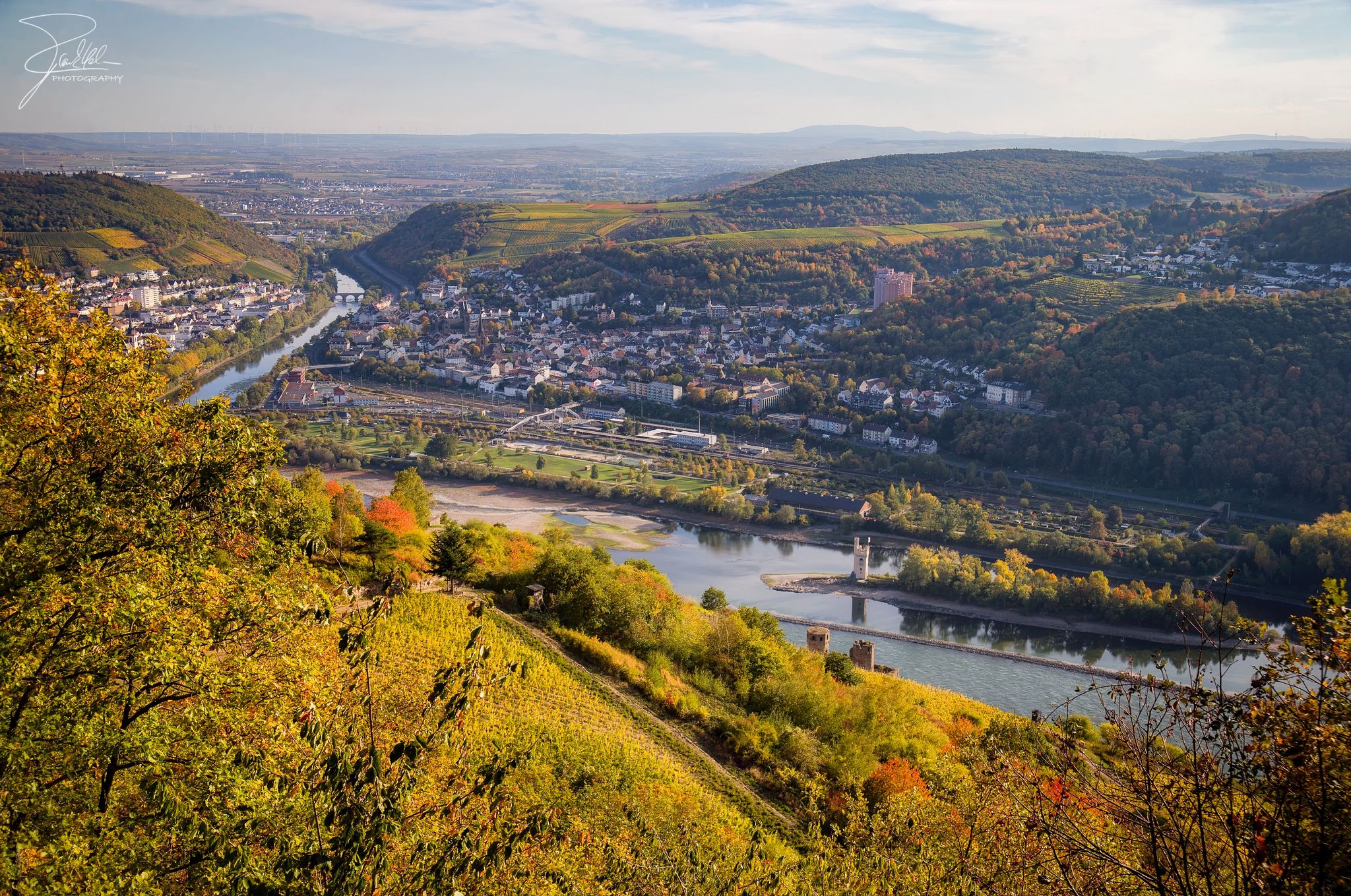
The Nahe Cycle Path – Between Rocks and Vines
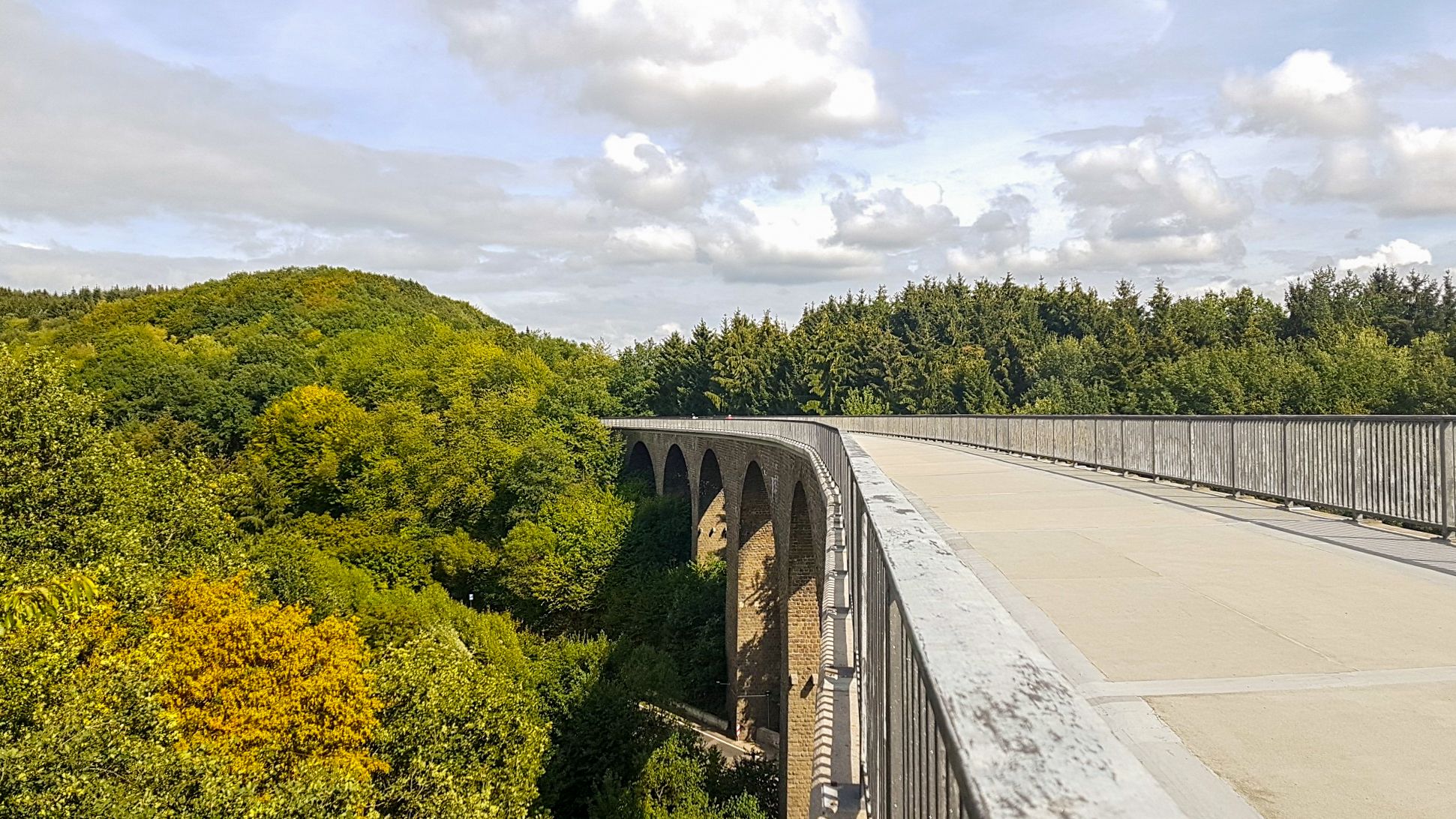
Saarland Cycle Path — Small country, big tour on 7 stages
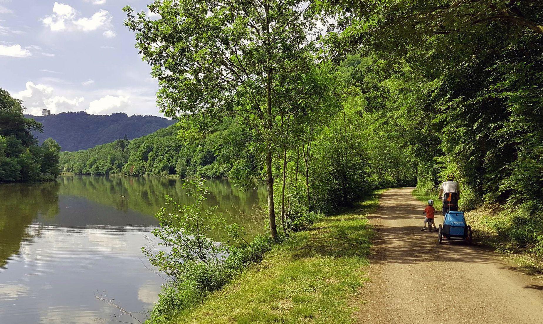
Saar Cycle Route — through the Saarland to the Moselle
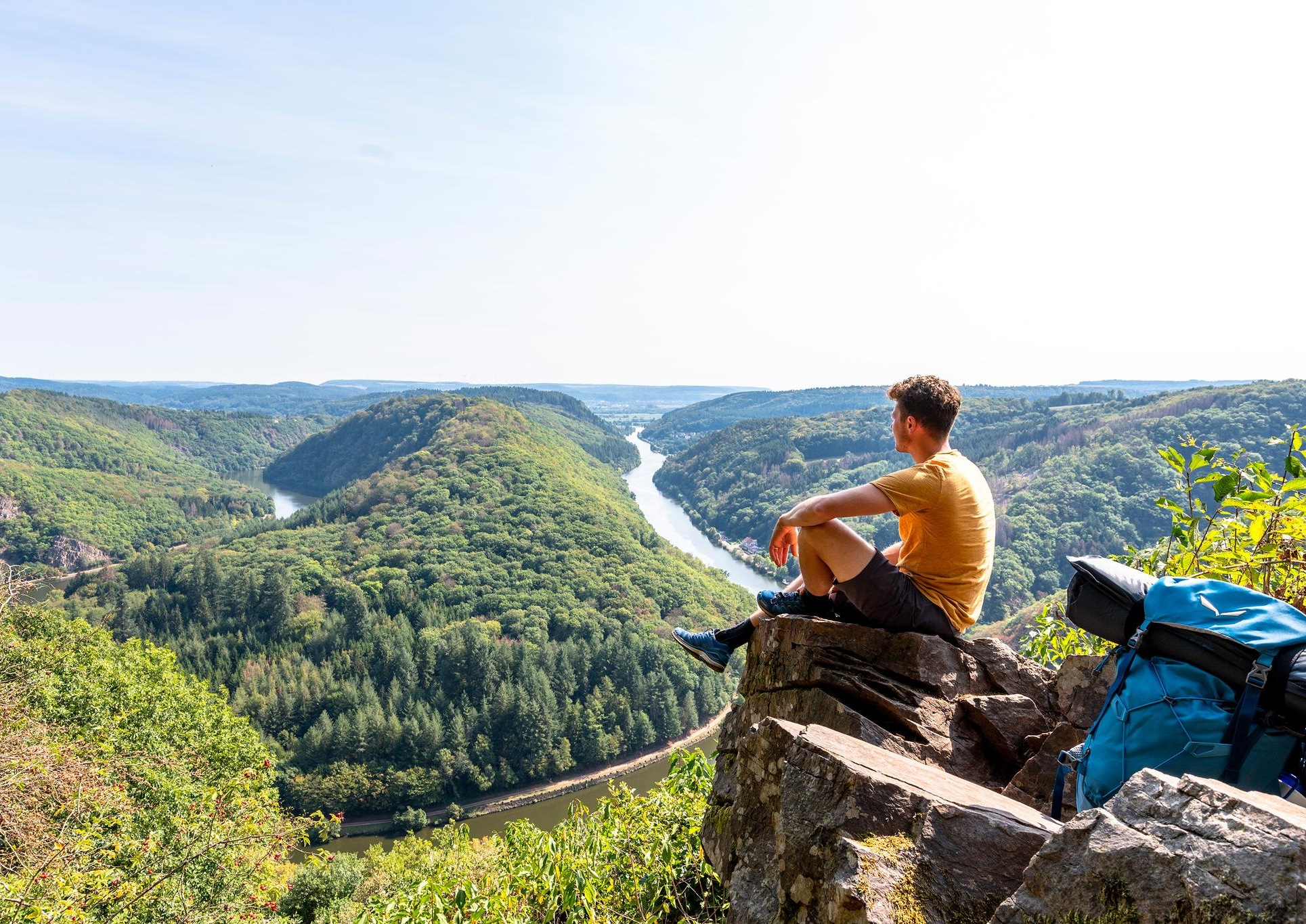
So close, so diverse – the most beautiful hikes in Saarland
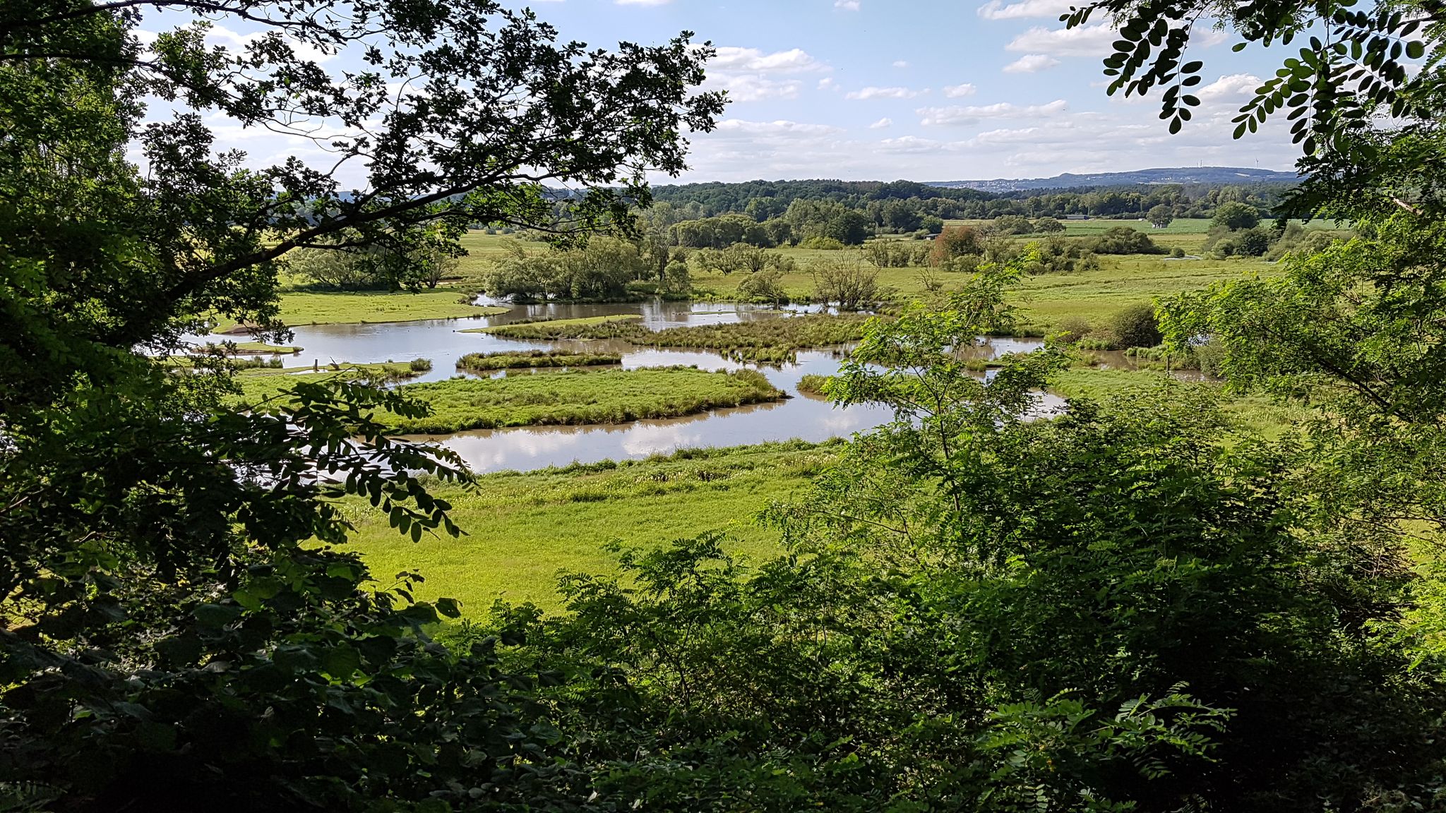
The National Natural Landscapes in Saarland
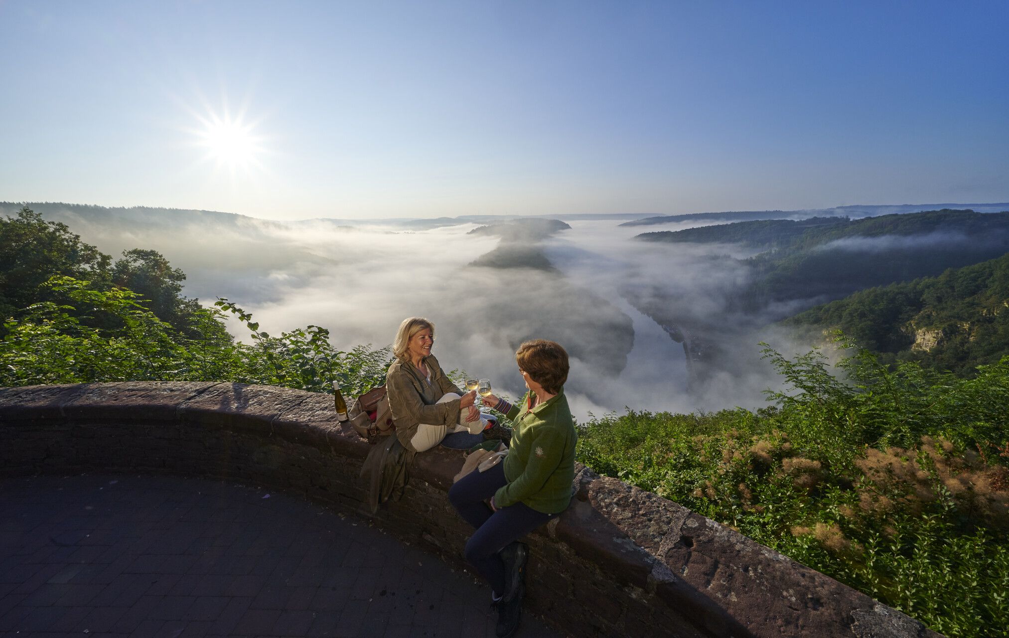
Hiking joy in Saarschleifenland
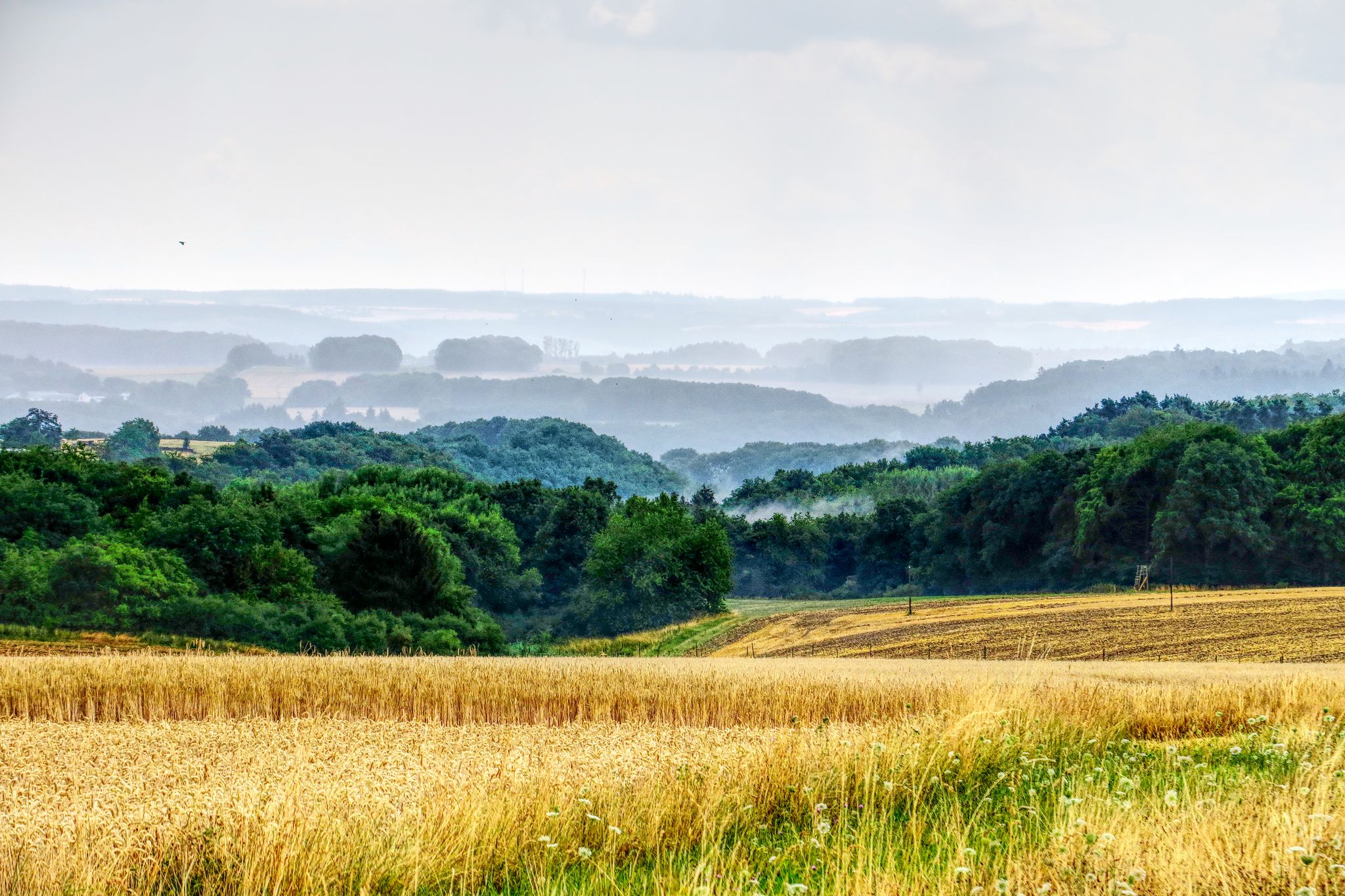
The National Natural Landscapes in Rheinland-Pfalz
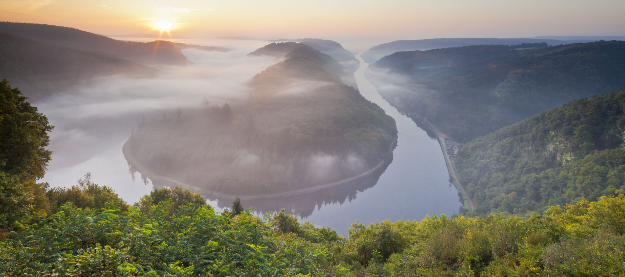
Between the Saarschleife and the Blies – the most beautiful hikes in Saarland
Other adventures in the Hunsrueck


Tips from the Community

A bit of climbing, then a great bench with a VIEW
0
0

The Ruppertsklamm is recommended to all nature enthusiasts. Sturdy, waterproof shoes are advantageous, as you sometimes have to step into the stream. Depending on the weather, it can carry quite a bit of water.
2
0
The term "wildromantisch" (wildly romantic) was probably coined here. Great nature trail.
1
0

Haven't been there in a long time, drove past again. A beautiful, not too demanding via ferrata, which you can - if you want - also do without additional safety equipment (although I cannot recommend it (!) without sufficient experience with secured routes). However, it is perfect for beginners in small via ferratas (children) to practice and learn.
0
0

The necessary equipment and a cool refreshment after the via ferrata are available at the Basecamp in Boppard - Mühltal 6, Boppard.
0
0

Fine, natural paths and yet you are rarely alone here
10
0

The climb here is tough.
2
0

I crossed the gorge from above and used the entrance as the exit.
1
1
Frequently Asked Questions
What kind of terrain can I expect on mountaineering routes in the Hunsrück?
The Hunsrück offers a diverse landscape for mountaineering. You'll encounter gentle mountain ranges, deep gorges, imposing cliffs, and marshy moors. The routes often lead through extensive forests, meadows, and river valleys, providing varied challenges. The highest point, Erbeskopf, reaches 816 meters (2,677 ft), contributing to significant elevation gains on some trails.
Are there any easier mountaineering routes suitable for beginners in the Hunsrück?
Yes, while many routes are challenging, the Hunsrück also offers options for those seeking a less strenuous experience. There are 2 easy mountaineering routes available. For example, you could explore parts of the region that are less steep, focusing on the scenic forest paths and river valleys. Look for routes with lower elevation gain and shorter distances.
Where can I find more challenging mountaineering experiences in the Hunsrück?
For a more challenging mountaineering experience, consider routes that feature steep ascents and descents, such as those around the Calmont. The region has 12 difficult routes. A good example is the Prinzenkopf – Damianskopf loop from Bingen (Rhein) Hauptbahnhof, which covers over 20 km with significant elevation changes. The Calmont Via Ferrata sections also offer a thrilling and demanding experience.
Are there many circular mountaineering routes available in the Hunsrück?
Yes, the Hunsrück is well-known for its circular routes, often referred to as 'dream loops' (Traumschleifen). Many of the mountaineering tours are designed as loops, allowing you to start and end at the same point. For instance, the Calmont Via Ferrata Entrance – View of Ediger-Eller loop from Bremm is a popular circular option.
What natural landmarks or viewpoints can I discover along the routes?
The Hunsrück is rich in natural landmarks and offers numerous viewpoints. You can find impressive gorges like the Ehrbachklamm Gorge or the Steckeschlääferklamm — Tree Spirits (Baumgeister) Trail. Many routes also lead to stunning vistas, such as the View of Saarburg and Saarburg Castle. The highest point, Erbeskopf, also provides panoramic views.
Is the Geierlay Suspension Bridge accessible from any mountaineering routes?
Yes, the impressive Geierlay Suspension Bridge is a significant attraction in the Hunsrück and is part of the Saar-Hunsrück Trail. While not directly on one of the listed mountaineering routes, it is easily accessible and can be incorporated into a longer hiking day or visited separately. It offers thrilling views and an adventurous crossing.
When is the best time of year for mountaineering in the Hunsrück?
The Hunsrück is suitable for mountaineering throughout much of the year. Spring and autumn offer pleasant temperatures and vibrant scenery, with autumn foliage being particularly beautiful. Summer is also great, though some routes might be more exposed to the sun. In winter, the Erbeskopf area transforms into a winter sports center, and some trails may be suitable for winter hiking, but conditions can be challenging.
How accessible are the trailheads, and is parking generally available?
Many trailheads in the Hunsrück are well-marked and accessible by car, with parking often available near popular starting points. For example, routes around Bremm or Ediger-Eller typically have parking facilities. Public transport access can vary, so it's advisable to check specific route details if you plan to use buses or trains to reach a trailhead.
Are there any routes that pass by places to eat or drink?
While specific amenities vary by route, many trails in the Hunsrück pass through or near villages and towns where you can find cafes, pubs, or restaurants. Some longer routes, particularly those that are part of premium trails like the Saar-Hunsrück Climb, are designed to connect with local hospitality. It's always a good idea to check the route details or local information for specific refreshment stops.
What do other mountaineers enjoy the most about mountaineering in the Hunsrück?
The Hunsrück is highly rated by the komoot community, with an average score of 4.8 stars from over 40 reviews. Mountaineers often praise the region's diverse terrain, from deep gorges and imposing cliffs to extensive forests and river valleys. The challenging nature of many routes, combined with stunning views and well-maintained trails, makes it a favorite destination for outdoor enthusiasts.
Can I bring my dog on mountaineering routes in the Hunsrück?
Generally, dogs are welcome on many hiking and mountaineering routes in the Hunsrück. However, it's crucial to keep them on a leash, especially in nature reserves, national parks like the Hunsrück-Hochwald, and areas with wildlife. Always be mindful of other hikers and local regulations. Some routes, particularly those with via ferrata sections or very steep, exposed paths, might not be suitable for all dogs.
Are there family-friendly mountaineering routes in the Hunsrück?
While many mountaineering routes in the Hunsrück can be challenging, there are also options suitable for families, especially those with older children or those looking for less strenuous hikes. Look for routes designated as 'easy' or 'moderate' with shorter distances and less elevation gain. The Erbeskopf area, for example, offers an adventure area with a forest playground and summer toboggan run, which can be combined with shorter walks.
What is the highest point I can reach on a mountaineering route in the Hunsrück?
The highest point in the Hunsrück is Erbeskopf, reaching 816 meters (2,677 ft). While specific mountaineering routes might not always lead directly to the summit, many trails in the region offer significant elevation gains and provide access to high points with panoramic views. The Erbeskopf itself features an observation tower for excellent vistas.
Most popular routes in the Hunsrueck
Most popular attractions in the Hunsrueck

Get inspired with the komoot mobile app


Explore more
Browse the best Mountain Hikes & Routes in other regions.
