The best running trails around Saint-Rabier
4.6
(15)
548
runners
86
runs
Jogging routes Saint-Rabier offer a diverse landscape for runners, characterized by its hilly and forested nature within the Dordogne basin. The region features varied terrain with significant elevation changes, providing engaging routes for different fitness levels. Protected areas, including ZNIEFFs and Natura 2000 sites, underscore the ecological significance of the natural environment. These natural features create a calm setting for outdoor activities.
Best jogging routes around Saint-Rabier
- The most popular jogging route is Running loop from Saint-Rabier, a 7.6…
Last updated: June 29, 2026
20
runners
12.2km
01:29
280m
280m
Moderate run. Good fitness required. Mostly paved surfaces. Suitable for all skill levels.
9
runners
11.9km
01:27
220m
220m
Moderate run. Good fitness required. Mostly paved surfaces. Suitable for all skill levels.

Sign up for free
5.0
(2)
8
runners
8.88km
01:01
130m
130m
Moderate run. Good fitness required. Mostly paved surfaces. Suitable for all skill levels.
6
runners
10.5km
01:13
220m
220m
Moderate run. Good fitness required. Mostly paved surfaces. Suitable for all skill levels.
4
runners
Moderate run. Good fitness required. Mostly paved surfaces. Suitable for all skill levels.
Get access to more routes and recommendations from other explorers.
Sign up for free
Already have an account?
Our route recommendations are based on thousands of hikes, rides, and runs completed by other people on komoot.
Start today with a free account
Your next adventure awaits.
Login or Signup


Frequently Asked Questions
How many running routes are available around Saint-Rabier?
There are over 80 dedicated running routes around Saint-Rabier, offering a wide variety of options for all fitness levels. These include 5 easy routes, 67 moderate routes, and 13 challenging trails.
What is the typical terrain like for jogging in Saint-Rabier?
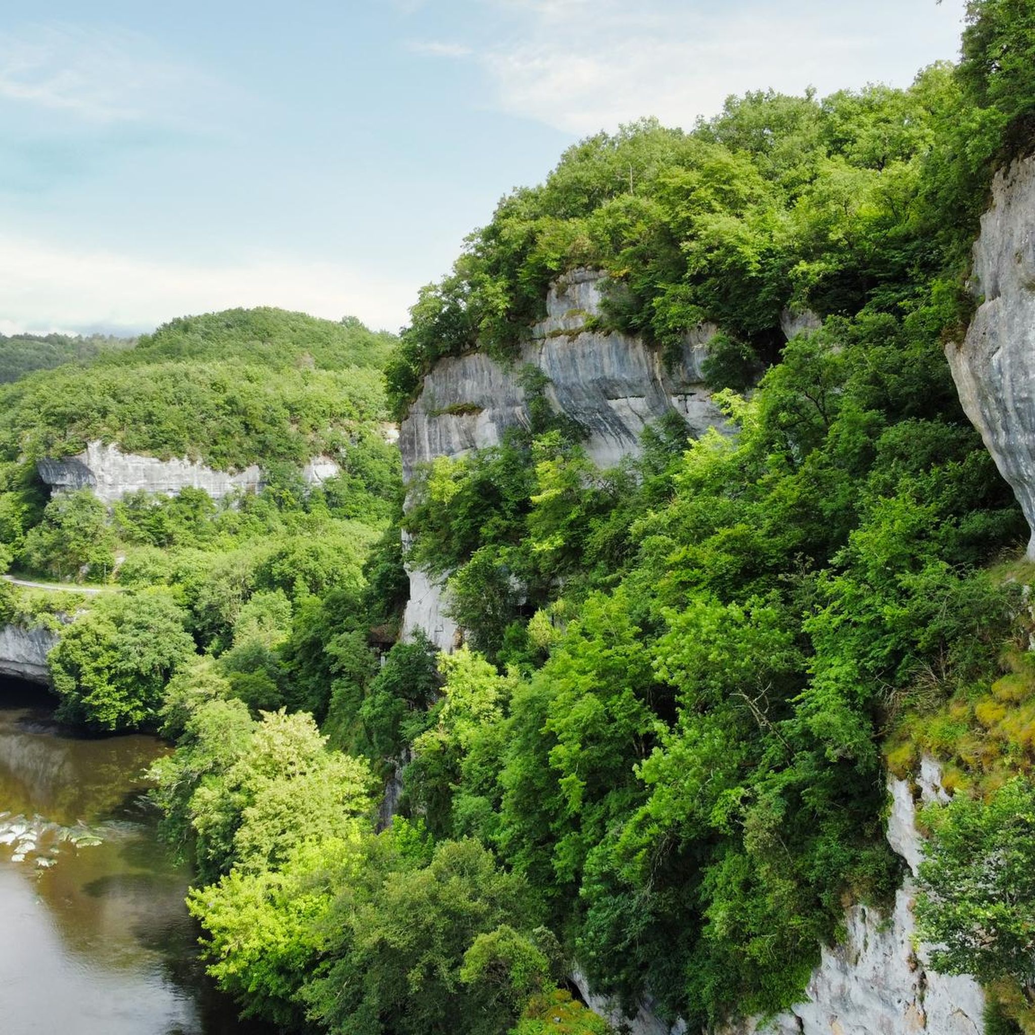
The terrain around Saint-Rabier is predominantly hilly and forested, nestled within the picturesque Dordogne basin. You can expect varied surfaces, including forest paths and country roads, with significant elevation changes that provide engaging runs. The area is known for its calm natural environment, including protected ZNIEFFs and Natura 2000 sites.
Are there any circular running routes in the Saint-Rabier area?
Yes, many of the running routes around Saint-Rabier are circular. For example, the Running loop from Saint-Rabier is a popular 12.2 km (7.6 miles) option that takes you through varied hilly and forested landscapes.
What do other runners enjoy most about jogging in Saint-Rabier?
The running routes in Saint-Rabier are highly rated by the komoot community, with an average score of 4.6 stars from over 10 reviews. Runners often praise the varied terrain, the peaceful forested paths, and the engaging ascents and descents that make for a rewarding outdoor experience.
Are there any easy running routes suitable for beginners or a relaxed jog?
Yes, Saint-Rabier offers 5 easy running routes. While the region is generally hilly, these routes provide a gentler experience. For example, the Running loop from Granges-d'Ans is a moderate 8.9 km (5.5 miles) trail that can be completed in about an hour, offering a good balance for many runners.
Can I find challenging running trails with significant elevation gain?
Absolutely. Saint-Rabier is known for its hilly nature, and there are 13 difficult running routes available. The annual 'Trail des Grands Vallons' event in Saint-Rabier features courses with significant elevation gains, such as 900 meters (2,950 feet) over 34 km (21 miles), indicating the presence of demanding trails for experienced runners.
Are there any running routes that pass by historical landmarks or scenic attractions?
Yes, you can combine your run with sightseeing. While jogging, you might encounter local manor houses, dovecotes, and the 14th-century Church of Saint-Pierre and Saint-Paul. For a longer run, consider routes that take you towards nearby attractions like the impressive Château de Hautefort and Gardens, located about 10 km away, or the charming Montignac-Lascaux Old Town, approximately 12 km from Saint-Rabier.
Are there any waterfalls or significant natural features along the running trails?
The broader Dordogne Valley is celebrated for its natural beauty, including limestone cliffs and lush forests. While direct river proximity for jogging in Saint-Rabier itself isn't explicitly detailed, the nearby Waterfall and historic buildings in Condat-sur-Vézère offers a scenic natural feature that could be incorporated into a longer running excursion.
What is the best time of year to go running in Saint-Rabier?
Saint-Rabier offers pleasant running conditions for much of the year. The region's mix of shaded forest paths and open stretches makes it enjoyable in spring and autumn when temperatures are mild. Summer can also be good, especially for early morning or late evening runs, taking advantage of the cooler air and shaded trails. Winter running is possible, though some trails might be muddy after rain.
Are there running routes suitable for families or those with children?
While specific 'family-friendly' routes are not explicitly categorized, the 5 easy routes available around Saint-Rabier would generally be more suitable for families or those with children looking for a less strenuous outdoor activity. These routes typically feature gentler inclines and shorter distances.
Is parking readily available near the trailheads in Saint-Rabier?
Yes, parking is generally available in and around Saint-Rabier, particularly in the village center or near popular starting points for trails. Many routes, such as the Château de la Chapoulie loop from Peyrignac, often have convenient access points with parking nearby in the smaller hamlets or villages.
Can I access running trails in Saint-Rabier using public transport?
Public transport options directly to specific trailheads in Saint-Rabier might be limited, as is common in many rural French villages. However, regional bus services connect Saint-Rabier to larger towns. It's advisable to check local transport schedules for the most up-to-date information if you plan to rely on public transport to reach your starting point.
Are there any longer running routes for endurance training or extended jogs?
Yes, Saint-Rabier offers several longer routes. For instance, the Moulin du Douime loop from Saint-Rabier is a 12.4 km (7.7 miles) route with moderate difficulty, perfect for a longer run. The region's 'Trail des Grands Vallons' event also highlights the potential for routes up to 34 km (21 miles) for those seeking significant distances.
Most popular routes around Saint-Rabier
Most popular attractions around Saint-Rabier

Get inspired with the komoot mobile app


Explore more
Browse the best Running Trails & Routes in other regions.
