The best walks and hikes around Valle-Di-Rostino
4.2
(372)
1,668
hikers
34
hikes
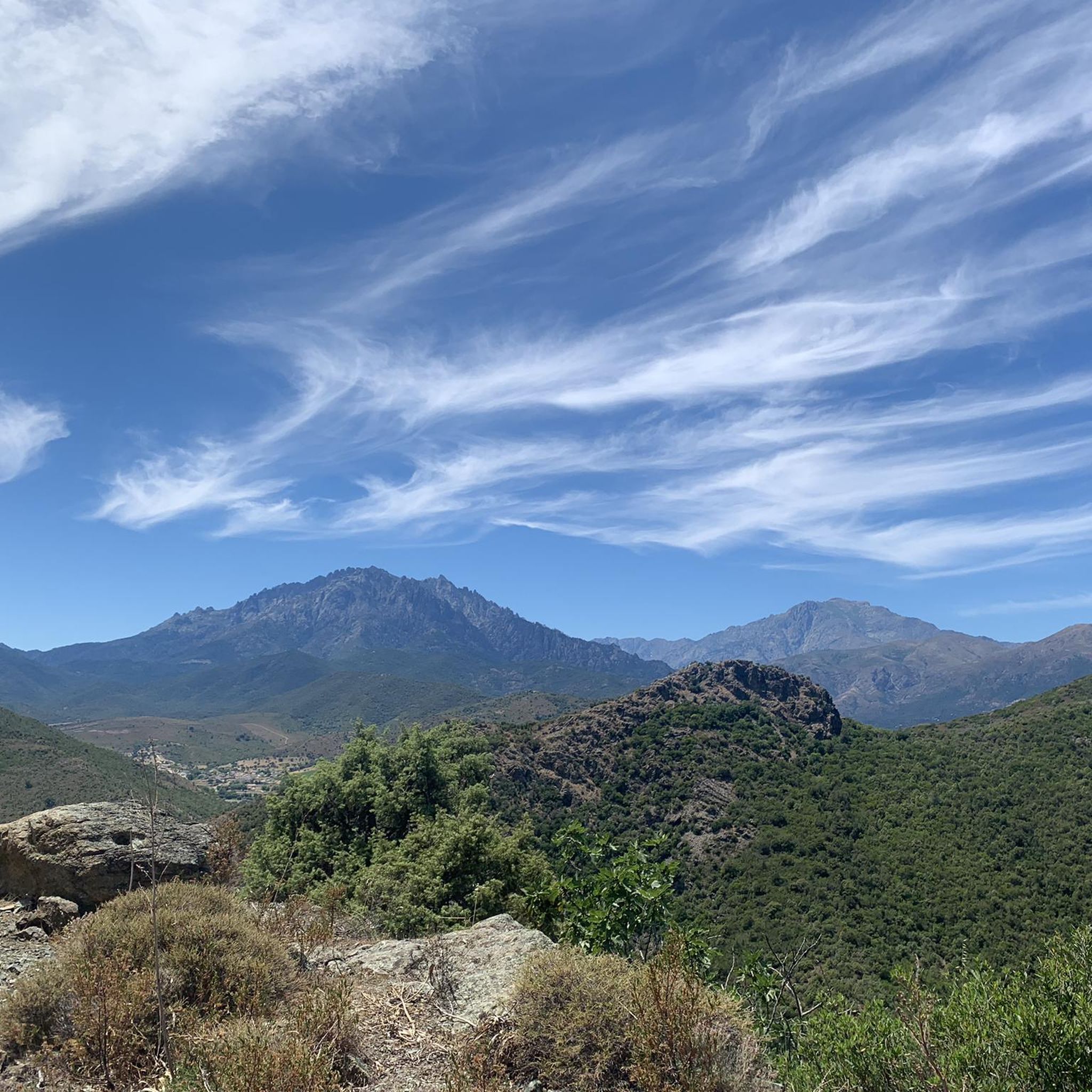
Hiking around Valle-Di-Rostino offers diverse landscapes within Corsica's Haute-Corse department, characterized by the hilly, forested terrain of the Castagniccia region. Elevations range from 159 meters to 1155 meters, providing varied gradients for trails. The area is part of the "Corse schisteuse," featuring rugged, mountainous backdrops and extensive natural spaces. Historical sites like U Castellu a A Scolca and the ruins of Santa Maria di Rescamone are integrated into the outdoor experience.
Best hiking trails in Valle-Di-Rostino
- The most popular hiking…
Last updated: August 22, 2026
3.9
(14)
51
hikers
9.08km
02:36
210m
210m
Moderate hike. Good fitness required. Easily-accessible paths. Suitable for all skill levels.
4.7
(133)
660
hikers
10.8km
03:38
510m
510m
Moderate hike. Good fitness required. Mostly accessible paths. Sure-footedness required.

Sign up for free
4.2
(31)
92
hikers
6.67km
01:57
190m
190m
Easy hike. Great for any fitness level. Easily-accessible paths. Suitable for all skill levels.
4.6
(10)
73
hikers
7.71km
02:42
420m
420m
Moderate hike. Good fitness required. Easily-accessible paths. Suitable for all skill levels.
3.6
(9)
31
hikers
10.1km
03:04
300m
300m
Moderate hike. Good fitness required. Easily-accessible paths. Suitable for all skill levels.
Get access to more routes and recommendations from other explorers.
Sign up for free
Already have an account?
Our route recommendations are based on thousands of hikes, rides, and runs completed by other people on komoot.
Start today with a free account
Your next adventure awaits.
Login or Signup

Tips from the Community

This farm has 2-3 free-roaming dogs, try to go around them if possible, they can be a bit intrusive.
0
0
The path is beautiful, the rubbish is still there. Unfortunately when we walked there were also 3 aggressive dogs and we were forced to change our route.
0
0

Access via a campsite. But it is also possible from the outside.
0
0

walking shoes are important to do well ....
0
0

From here take another run-up and you're already up!
1
1

Beautiful pitches (reservations recommended for campers> 5m), lots of natural shade, first-class baguette. Pleasant, rather young audience, lots of children. Also a restaurant visited by locals. Motorhome, 2 adults and electricity € 28.50 / night.
1
0
There are three quite well-visited swimming pools here, the bottom one is the most beautiful, deepest and lonely (not visible from the parking lot). A little further you will find a lonely small sandy beach (at least Monday morning) with shade. Here, small children can keep their feet clean. Bathing shoes highly recommended!
1
0

This summit is an insider tip. Relatively easy to walk on and almost alone. But be careful, you should also take the way there as a way back! The trail I chose was partly overgrown and frequented only by wild boars.
0
0
Frequently Asked Questions
How many hiking trails are available in Valle-Di-Rostino?
Valle-Di-Rostino offers a wide selection of hiking opportunities, with over 29 trails recorded on komoot. These routes cater to various skill levels, from easy strolls to more challenging ascents.
What kind of terrain can I expect on hikes in Valle-Di-Rostino?
The terrain in Valle-Di-Rostino is diverse, reflecting its location within the Castagniccia region and the "Corse schisteuse." You'll encounter hilly, forested landscapes dominated by chestnut groves, as well as rugged, mountainous backdrops. Elevations range significantly, from 159 meters to 1155 meters, providing varied gradients and scenic vistas.
Are there easy hiking options suitable for beginners or families in Valle-Di-Rostino?
Yes, Valle-Di-Rostino has several easy hiking options. There are 9 routes classified as easy, perfect for beginners or families. An example is the Bathing area by the bridge – Tizarella Campsite loop from Petra e legnu, which is just over 4.6 km long and features minimal elevation gain.
What are some notable natural features or landmarks to see while hiking in Valle-Di-Rostino?
Hikers in Valle-Di-Rostino can discover several significant natural and historical landmarks. The region is known for its extensive natural spaces and features like the Mount San Petrone, the highest peak in Castagniccia. You might also encounter the Cascade de la Struccia – Spiscina à a Struccia waterfall or the Natural Pools on the Fiume Tavignano.
Are there any historical sites accessible via hiking trails?
Yes, Valle-Di-Rostino integrates historical attractions into its outdoor experience. You can explore sites like U Castellu a A Scolca, a quadrangular tower offering expansive valley views, or the ruins of Santa Maria di Rescamone, an ancient church. The area also features the Baptistery San Giovanni Battista, showcasing Pisan architecture.
Are there any circular hiking routes in Valle-Di-Rostino?
Many of the trails in Valle-Di-Rostino are circular, offering convenient starting and ending points. Popular loop routes include the View of San Petrone loop from Lutina and the Monte Castellare loop from Campile, both providing diverse scenery.
What is the best time of year to go hiking in Valle-Di-Rostino?
The best time to hike in Valle-Di-Rostino is generally during spring and autumn when the weather is mild and the natural scenery is vibrant. Summer can be warm, especially at lower elevations, while winter hiking might be possible on lower trails but higher altitudes, like Mount San Petrone, could experience snow and more challenging conditions.
What do other hikers enjoy most about hiking in Valle-Di-Rostino?
The hiking trails in Valle-Di-Rostino are highly rated by the komoot community, with an average score of 4.3 stars from over 320 reviews. Hikers often praise the diverse landscapes, the combination of natural beauty with historical sites, and the well-maintained paths through chestnut groves and schistose ridges.
Are there any challenging hikes for experienced hikers in the area?
For experienced hikers seeking a challenge, Valle-Di-Rostino offers 7 difficult routes. The ascent to Mount San Petrone, the highest peak in the Castagniccia region, provides an intense but rewarding experience with significant elevation gain.
Can I find trails that lead through forests or wooded areas?
Absolutely. Valle-Di-Rostino is nestled within the Castagniccia region, aptly named "chestnut grove." Many trails, such as the Through beautiful woods – Mount San Petrone loop from Saliceto, lead through rich, forested areas, offering shade and a tranquil hiking experience.
Is there parking available at the trailheads in Valle-Di-Rostino?
While specific parking details vary by trailhead, many villages and starting points for popular routes in Valle-Di-Rostino typically offer designated or informal parking areas. It's advisable to check local information or komoot tour details for specific parking recommendations for your chosen route.
Most popular attractions around Valle-Di-Rostino

Get inspired with the komoot mobile app


Explore more
Browse the best Hikes in other regions.
