The best walks and hikes around Vignale
4.3
(289)
1,530
hikers
46
hikes
Hiking around Vignale offers exploration of the Monferrato hills, a UNESCO World Heritage site characterized by gently rolling terrain. The landscape features expansive vineyards, cultivated fields, and woodlands. This region provides a variety of trails, from accessible paths to more challenging routes, often with panoramic views of the surrounding countryside.
Best hiking trails around Vignale
- The most popular hiking route is Côte est. – Cima di Stella loop from Lucciana, a 6.9 miles (11.2 km) trail that takes 3…
Last updated: June 25, 2026
4.6
(9)
38
hikers
6.45km
02:01
250m
250m
Moderate hike. Good fitness required. Easily-accessible paths. Suitable for all skill levels.
4.5
(2)
12
hikers
12.1km
03:48
480m
480m
Moderate hike. Good fitness required. Easily-accessible paths. Suitable for all skill levels.

Sign up for free
4.3
(3)
31
hikers
15.1km
05:18
830m
820m
Hard hike. Very good fitness required. Easily-accessible paths. Suitable for all skill levels.
4.8
(4)
12
hikers
3.04km
00:50
50m
50m
Easy hike. Great for any fitness level. Easily-accessible paths. Suitable for all skill levels.
5.0
(1)
13
hikers
7.43km
02:19
280m
290m
Moderate hike. Good fitness required. Easily-accessible paths. Suitable for all skill levels.
Get access to more routes and recommendations from other explorers.
Sign up for free
Already have an account?
Our route recommendations are based on thousands of hikes, rides, and runs completed by other people on komoot.
Start today with a free account
Your next adventure awaits.
Login or Signup
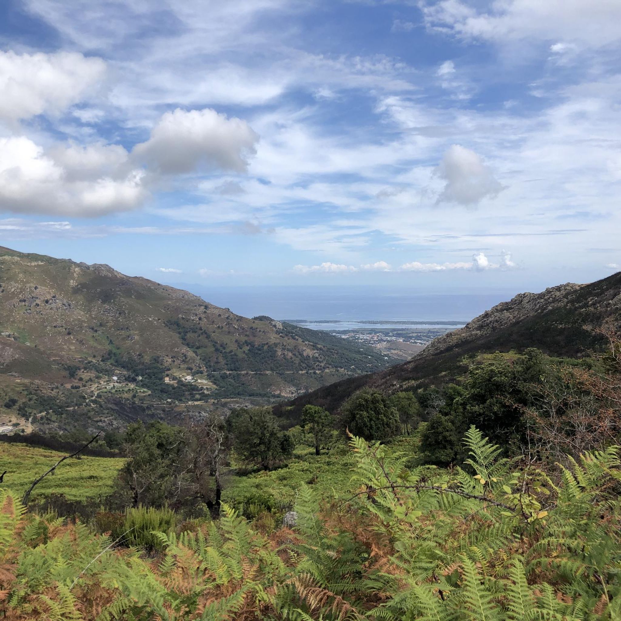
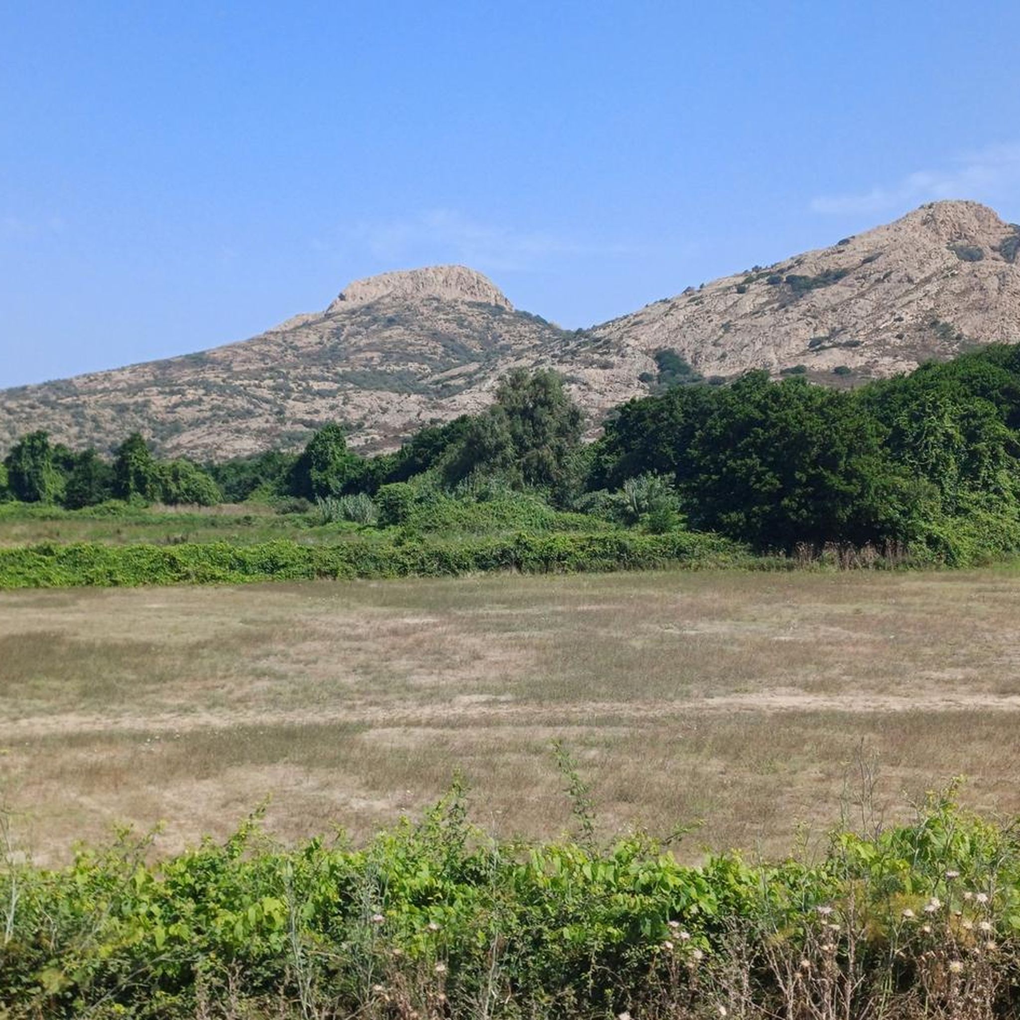

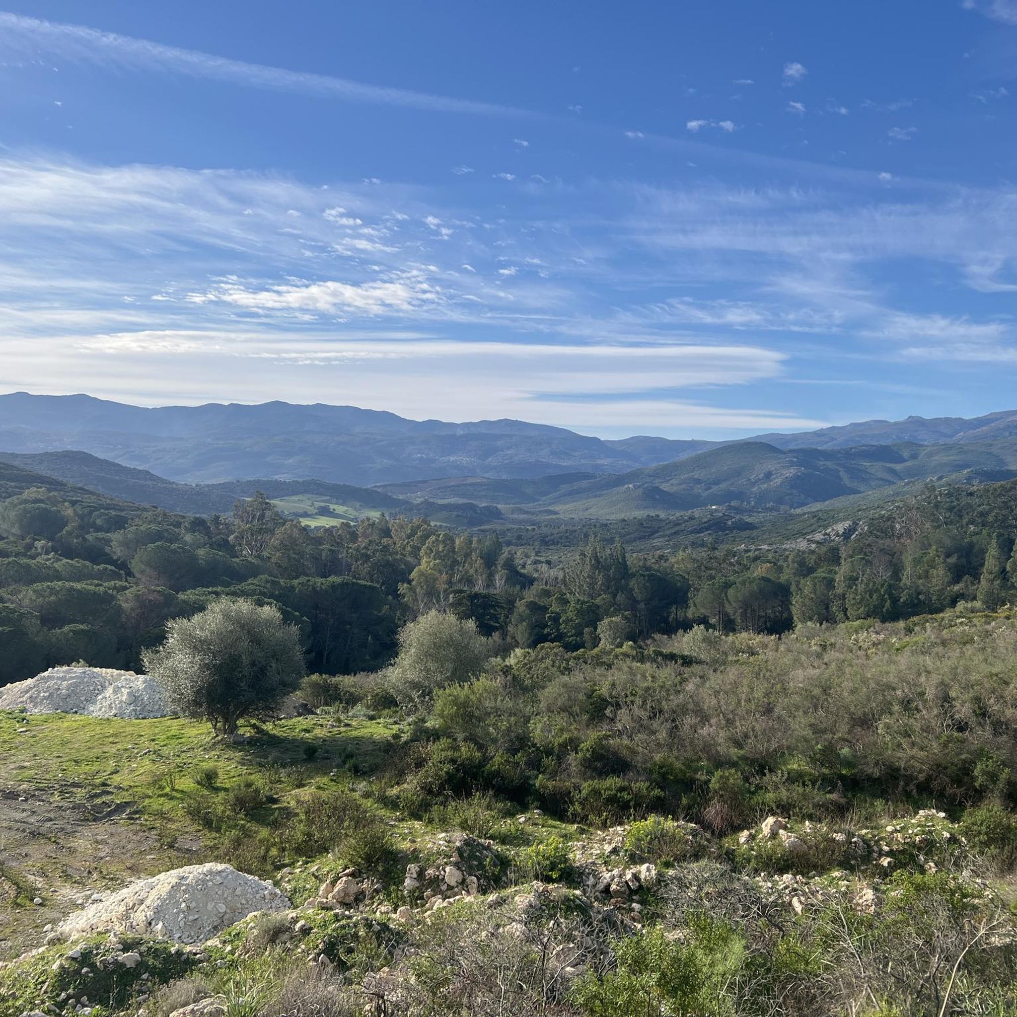
Tips from the Community

Breathtaking view on both sides of the beginning of Cap Corse: Bastia on one side and Saint-Florent on the other
0
0
Frequently Asked Questions
How many hiking trails are available around Vignale Monferrato?
There are over 40 hiking trails in the Vignale Monferrato area. These routes offer a variety of experiences, ranging from easy walks to more challenging climbs through the rolling hills.
What kind of terrain can I expect on hikes in Vignale Monferrato?
Hikes in Vignale Monferrato primarily traverse gently rolling hills, extensive vineyards, and cultivated fields. You'll also find paths winding through woodlands and connecting various hamlets. The terrain varies, with options from easy, gentle gradients to moderate climbs requiring good fitness.
Are there hiking trails in Vignale Monferrato with good panoramic views?
Yes, many trails in Vignale Monferrato offer splendid panoramic views over the UNESCO-listed Monferrato hills and their vast vineyards. Routes like the Chapelle Santa Chiara – Punta Rosso loop from Rutali are known for their scenic vistas.
What is the best time of year for hiking in Vignale Monferrato?
The Monferrato hills are beautiful in all seasons. Spring offers blooming landscapes, while autumn provides stunning colors as the vineyards change. Summer is also pleasant, especially in the mornings or late afternoons, with the region's characteristic rolling hills providing a refreshing experience.
Are there any easy hiking trails suitable for beginners or families in Vignale Monferrato?
Yes, Vignale Monferrato offers several easy trails suitable for beginners or families. For example, the Chapelle Santa Chiara – Punta Rosso loop from Rutali is an easy 3.9-mile (6.2 km) path with gentle gradients and panoramic views, perfect for all skill levels.
Can I bring my dog on the hiking trails in Vignale Monferrato?
Most hiking trails in Vignale Monferrato are dog-friendly, allowing you to enjoy the scenic vineyards and woodlands with your canine companion. Always ensure your dog is under control, especially when passing through cultivated areas or near livestock.
Are there circular hiking routes available in Vignale Monferrato?
Yes, many of the trails in Vignale Monferrato are designed as circular routes, allowing you to start and end your hike in the same location. Examples include the Cima di Stella – Punta Rosso loop from Cappella Santa Chjara and the Cima di Stella loop from Lucciana.
What are some interesting landmarks or places to see near the hiking trails?
While hiking around Vignale Monferrato, you can explore several interesting landmarks. Notable attractions include the historic San Michele de Murato Church, the impressive Cathédrale La Canonica, and the scenic Mount Sant'Angelo Summit. There's also the unique Rocca a U Fornu (Historic Village Bakehouse).
What do other hikers enjoy most about hiking in Vignale Monferrato?
The hiking experience in Vignale Monferrato is highly rated by the komoot community, with an average score of 4.4 stars from over 230 reviews. Hikers often praise the stunning panoramic views over the Monferrato hills, the peaceful atmosphere of the vineyards and woodlands, and the variety of trails suitable for different fitness levels.
How long do hiking routes in Vignale Monferrato typically take to complete?
Hiking routes in Vignale Monferrato vary in length and duration. Easy trails, like the Chapelle Santa Chiara – Punta Rosso loop from Rutali (3.9 miles), can take around 1 hour 55 minutes. Moderate routes, such as the Côte est. loop from Borgo (7.9 miles), typically take about 2 hours 27 minutes to complete.
Are there any challenging hikes in Vignale Monferrato for experienced hikers?
While many trails are moderate, Vignale Monferrato does offer some routes with significant elevation gain for experienced hikers. For instance, the Côte est. – Cima di Stella loop from Lucciana is a moderate 6.9-mile (11.2 km) trail with over 600 meters of ascent, providing a more demanding experience.
Most popular attractions around Vignale

Get inspired with the komoot mobile app


Explore more
Browse the best Hikes in other regions.
