The best mountain hikes around Pillig
4.5
(6)
21
hikers
4
hikes
Mountaineering routes around Pillig traverse a landscape characterized by rolling hills and dense forests, situated on the edge of Germany's Eifel Mountains. The region features diverse terrain, including the Elz Valley, and offers challenging hikes through varied natural features. While not alpine, the area provides opportunities for exploring rugged paths and historical sites.
Best mountaineering routes around Pillig
- The most popular mountaineering route is Eltz Castle – Forest Path to Eltz Castle loop from Moselkern, a 7.7 miles (12.4…
Last updated: July 9, 2026
5.0
(2)
9
hikers
Moderate mountaineering route. Good fitness required. Mostly accessible paths. Sure-footedness required.
5.0
(2)
9
hikers
12.2km
03:40
330m
330m
Moderate mountaineering route. Good fitness required. Mostly accessible paths. Sure-footedness required.

Sign up for free
3.0
(1)
2
hikers
14.0km
04:37
540m
540m
Moderate mountaineering route. Good fitness required. Mostly accessible paths. Sure-footedness required.
5.0
(1)
1
hikers
12.6km
03:42
330m
330m
Moderate mountaineering route. Good fitness required. Easily-accessible paths. Suitable for all skill levels.
Our route recommendations are based on thousands of hikes, rides, and runs completed by other people on komoot.
Start today with a free account
Your next adventure awaits.
Login or Signup
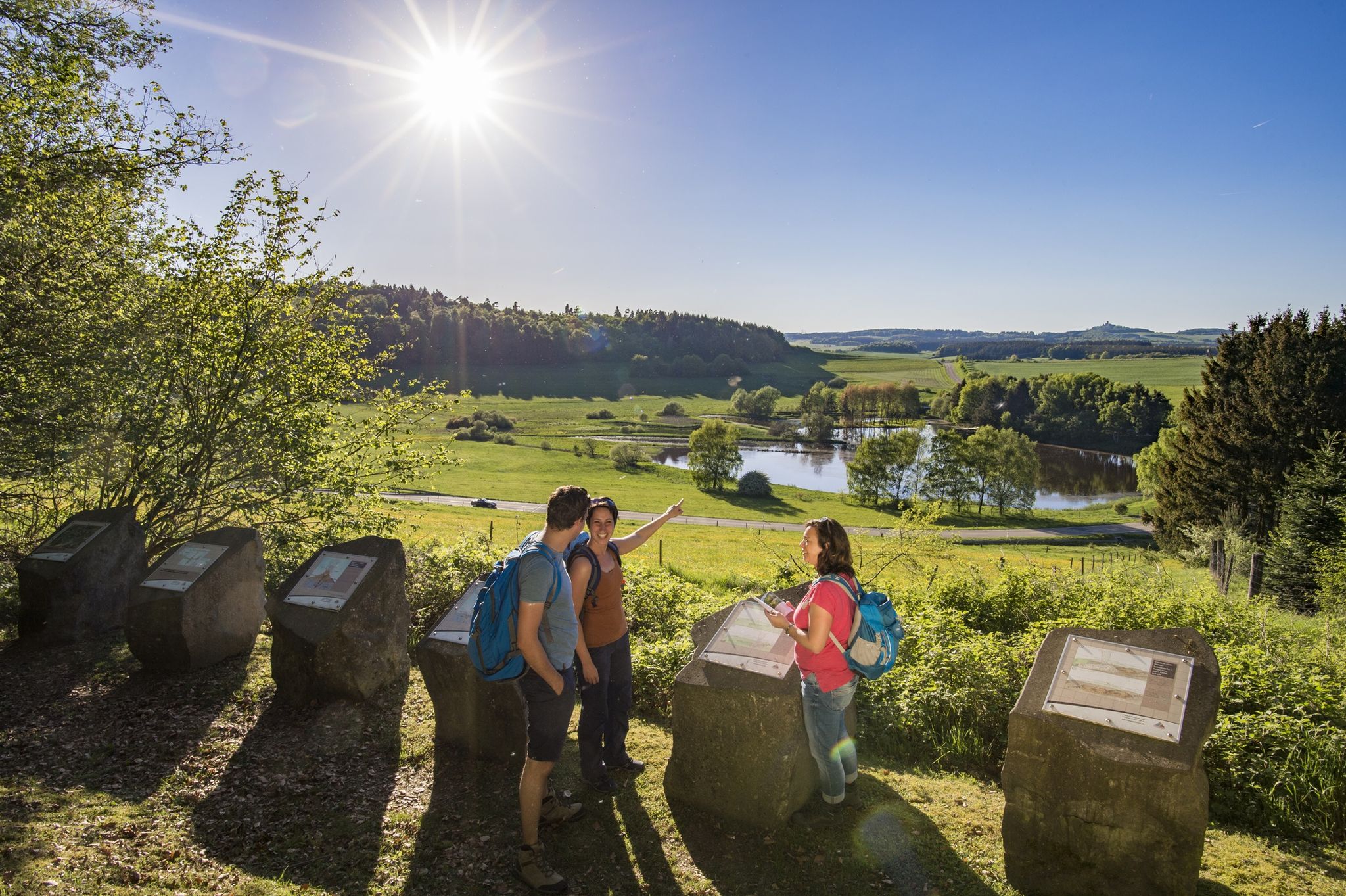
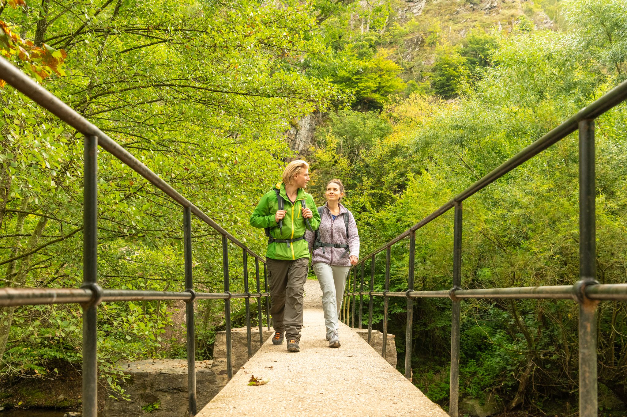
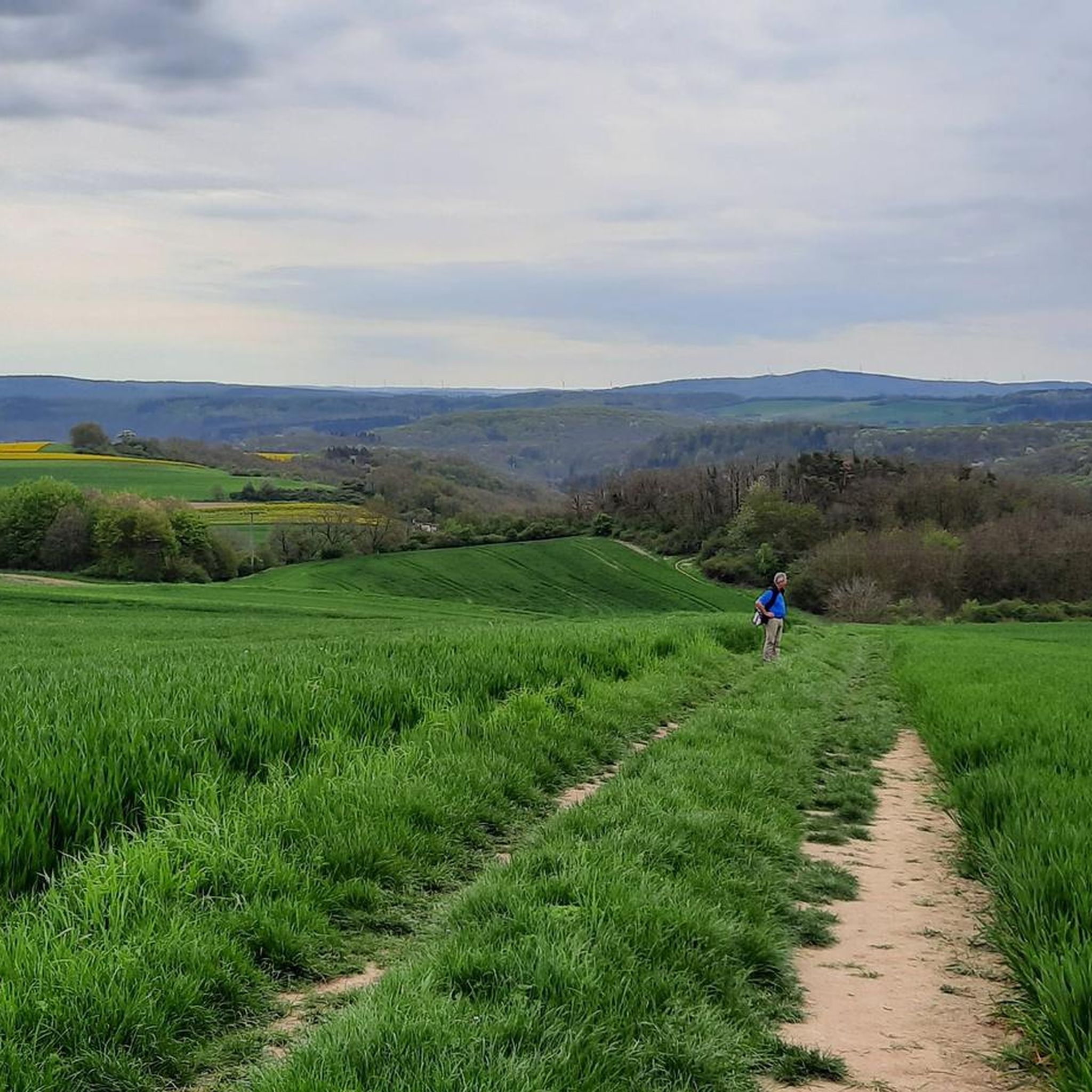
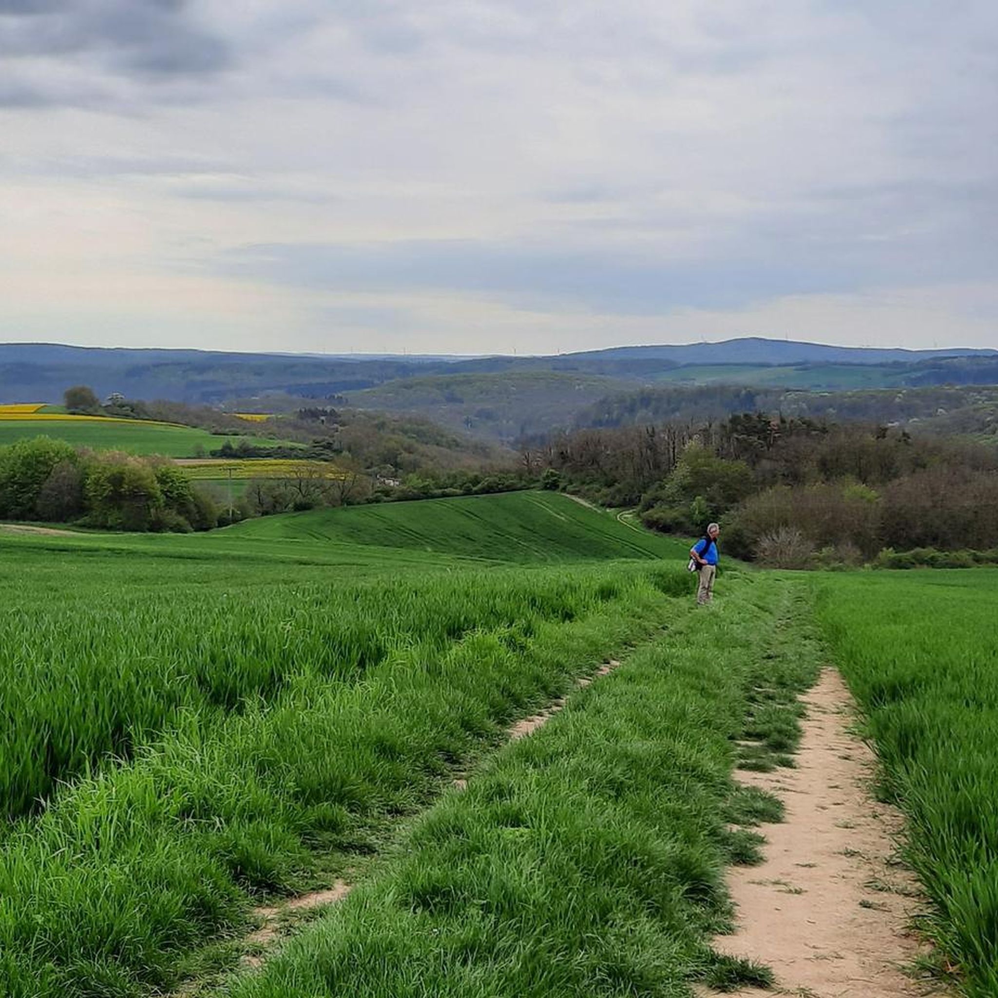
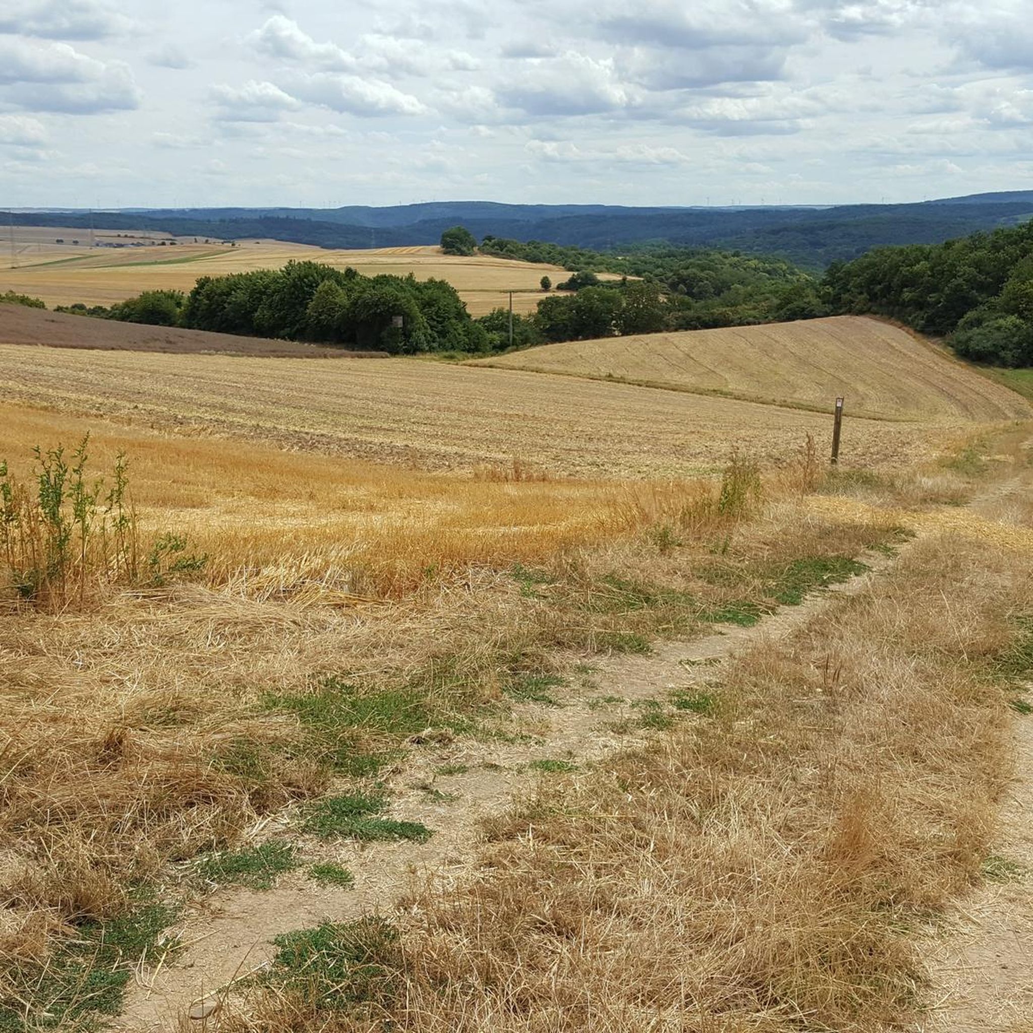
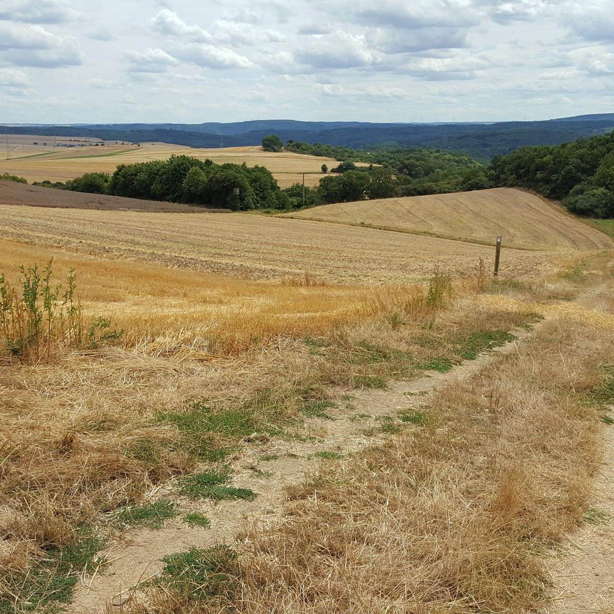


Tips from the Community


Fine, natural paths and yet you are rarely alone here
10
0

The climb here is tough.
2
0


The Moselsteig Trail, or rather, the dream path, continues from the restaurant/café to the left, over a small bridge... Caution ⚠️ the path goes uphill to the left!!! DO NOT go straight ahead!!! Otherwise, the trail ends on a very, very steep slope with lots of loose scree.
5
0

"...We are now embarking on our final stage. We pass the tanning mill from the 17th century, which was used to tan skin into leather. Now we only have to go through the town of Müden, where our accommodation and a glass of wine are waiting for us..." Find out more about our idyllic hike to Eltz Castle at: https://www.netreisetagebuch.de/burg-eltz-wandern/
0
1

You can also have a beautiful view of the castle from the stream below.
3
0

Relatively steep climb Good footwear and safety gear are recommended
4
0
Frequently Asked Questions
How many mountaineering routes are available around Pillig?
There are 4 distinct mountaineering routes around Pillig, all rated as moderate difficulty. These routes offer a variety of experiences through the region's rolling hills and dense forests.
What is the typical length and duration of mountaineering routes in Pillig?
The routes around Pillig typically range from 7.5 to 8.7 miles (12.1 to 14.0 km) in length. Most can be completed in approximately 3 hours 40 minutes to 4 hours 36 minutes, depending on your pace and stops.
Are there any circular mountaineering routes in Pillig?
Yes, all the mountaineering routes listed for Pillig are circular. For example, you can enjoy the Eltz Castle – Forest Path to Eltz Castle loop from Moselkern, which is a 7.7-mile loop offering views of the historic Eltz Castle.
What historical attractions can I see along the mountaineering routes?
The region is rich in history. Many routes offer views of the impressive Eltz Castle. For instance, the View of Eltz Castle – Eltz Castle loop from Wierschem provides expansive vistas of the Elz Valley and the castle itself. You might also encounter the Stone Bridge over the Elzbach on some trails.
Are the mountaineering routes around Pillig suitable for families?
While all routes are rated as moderate, Pillig is known for its well-signposted trails suitable for various experience levels, including families. The diverse terrain and historical sights like Eltz Castle can make for an engaging family outing, though some sections may be more challenging for very young children.
What do other mountaineers enjoy most about the routes in Pillig?
The routes in Pillig are highly rated by the komoot community, with an average score of 4.5 stars from over 6 reviews. Mountaineers often praise the picturesque setting, the diverse terrain, and the breathtaking views, especially of the Elz Valley and Eltz Castle.
Are there any waterfalls or unique natural features to discover?
Yes, the region offers beautiful natural features. While not directly on the listed mountaineering routes, the idyllic waterfall at the Pyrmonter Mühle is a notable attraction in the area. For those interested in geology, the Kottenheimer Büden, a former quarry area, features bizarre rock formations.
Is it possible to access the mountaineering routes using public transport?
While specific public transport details for each trailhead are not provided, some routes, like the Moselsteig Trail at the Elzbach – Eltz Castle loop from Moselkern, start from villages like Moselkern, which may have public transport connections. It's advisable to check local transport schedules for specific starting points.
What is the best time of year to go mountaineering in Pillig?
Pillig's landscape of rolling hills and dense forests is beautiful throughout the warmer months. Spring and autumn offer pleasant temperatures and vibrant scenery, making them ideal for exploring the trails. Summer is also suitable, but be prepared for potentially warmer weather.
Are the mountaineering routes in Pillig dog-friendly?
Generally, hiking trails in the Eifel region are dog-friendly, and the well-maintained paths around Pillig are suitable for dogs. However, it's always recommended to keep dogs on a leash, especially near wildlife or livestock, and to check for any specific local regulations or restrictions along your chosen route.
Are there any other castles or viewpoints nearby besides Eltz Castle?
Beyond Eltz Castle, the region is home to other historical sites. You can find Thurant Castle and its corresponding View of Thurant Castle nearby, offering additional points of interest for those exploring the area.
Most popular attractions around Pillig

Get inspired with the komoot mobile app


Explore more
Browse the best Mountain Hikes & Routes in other regions.
