The best running trails around Sainte-Foy-De-Longas
4.4
(50)
1,311
runners
131
runs
Jogging routes around Sainte-Foy-De-Longas traverse a rural landscape in the Dordogne, characterized by significant forest coverage and agricultural areas. The terrain features subtly undulating limestone hillsides and valleys, offering both challenging ascents and gentle descents. The Louyre valley, a primary waterway, adds a picturesque element to many running routes. This diverse environment provides varied scenery and running surfaces for outdoor enthusiasts.
Best jogging routes around Sainte-Foy-De-Longas
- The most popular jogging route is Running loop from Constant, a 6.6 miles…
Last updated: July 13, 2026
5.0
(1)
5
runners
10.6km
01:09
150m
150m
Moderate run. Good fitness required. Mostly paved surfaces. Suitable for all skill levels.
5.0
(1)
7
runners
12.9km
01:27
200m
200m
Moderate run. Good fitness required. Mostly paved surfaces. Suitable for all skill levels.

Sign up for free
5
runners
11.2km
01:12
160m
160m
Moderate run. Good fitness required. Mostly paved surfaces. Suitable for all skill levels.
4
runners
10.3km
01:08
160m
160m
Moderate run. Good fitness required. Mostly paved surfaces. Suitable for all skill levels.
6
runners
10.9km
01:16
190m
190m
Moderate run. Good fitness required. Mostly paved surfaces. Suitable for all skill levels.
Get access to more routes and recommendations from other explorers.
Sign up for free
Already have an account?
Our route recommendations are based on thousands of hikes, rides, and runs completed by other people on komoot.
Start today with a free account
Your next adventure awaits.
Login or Signup

Tips from the Community

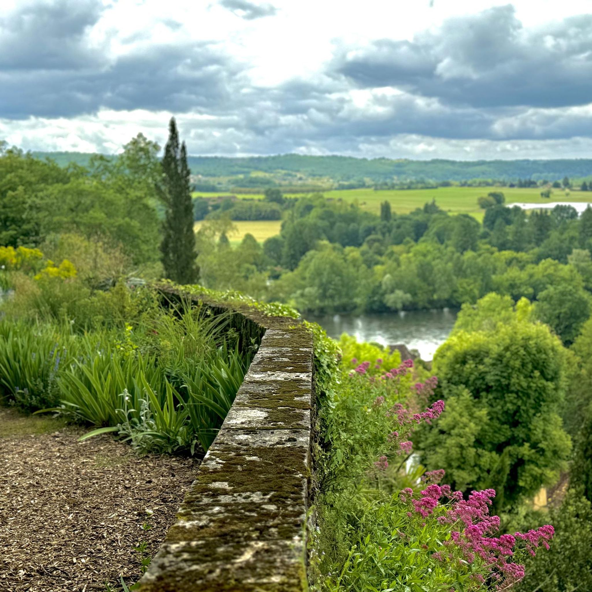
In midsummer, a shady route under deciduous trees!
0
0

The village of Mauzac stretches on both banks of the Garonne and is connected by a bridge that bears his name. The original construction, a metal structure and masonry supports dating from 1877, received a major reinforcement in 1933 to accompany the evolution of traffic. Located in a protected heritage site related to the classification of the interior of the Saint-Etienne church, the work allows the RD 53 to cross the river at a height of 14 meters and a length of 150 meters.
1
1
The Mauzac Bridge over the Mauzac Dam Reservoir
1
0

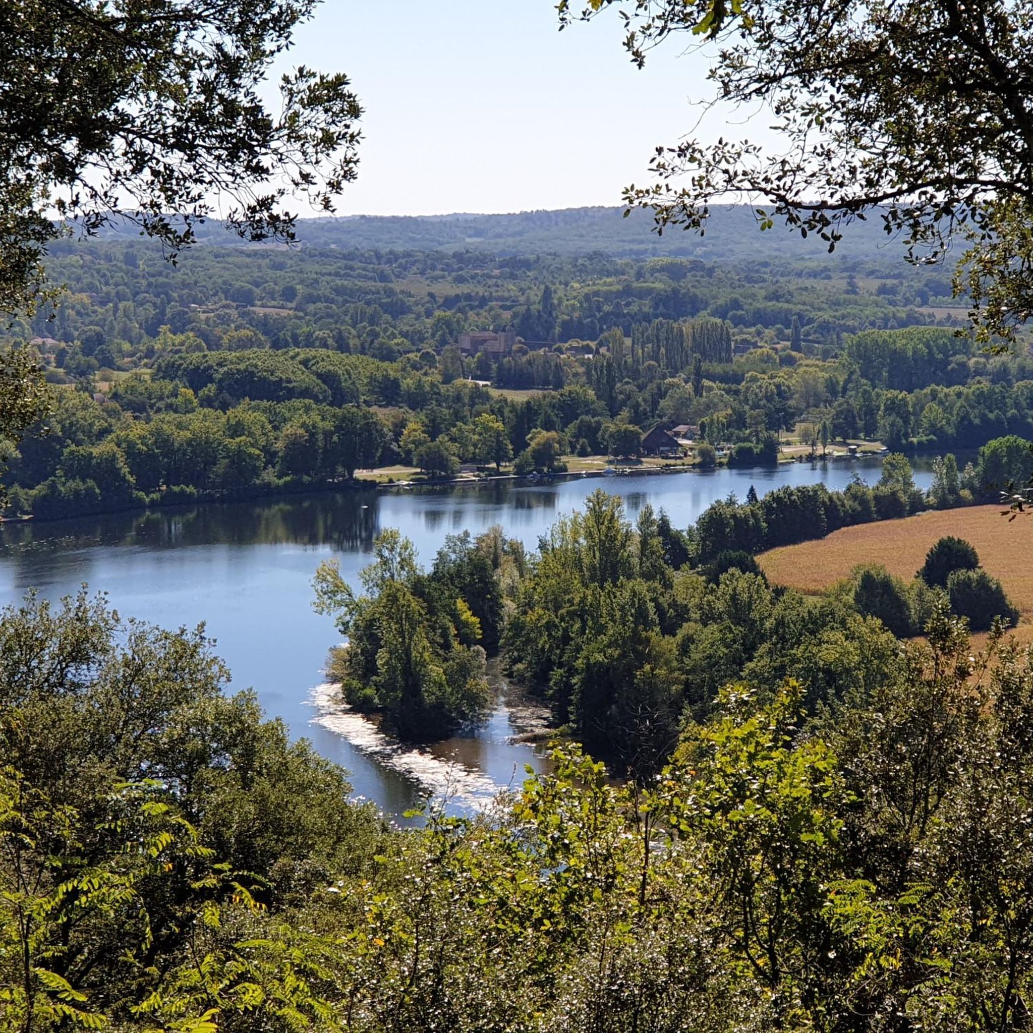
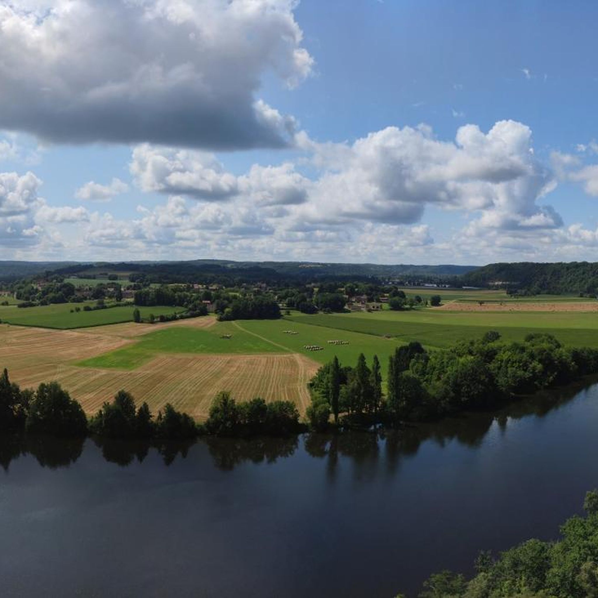
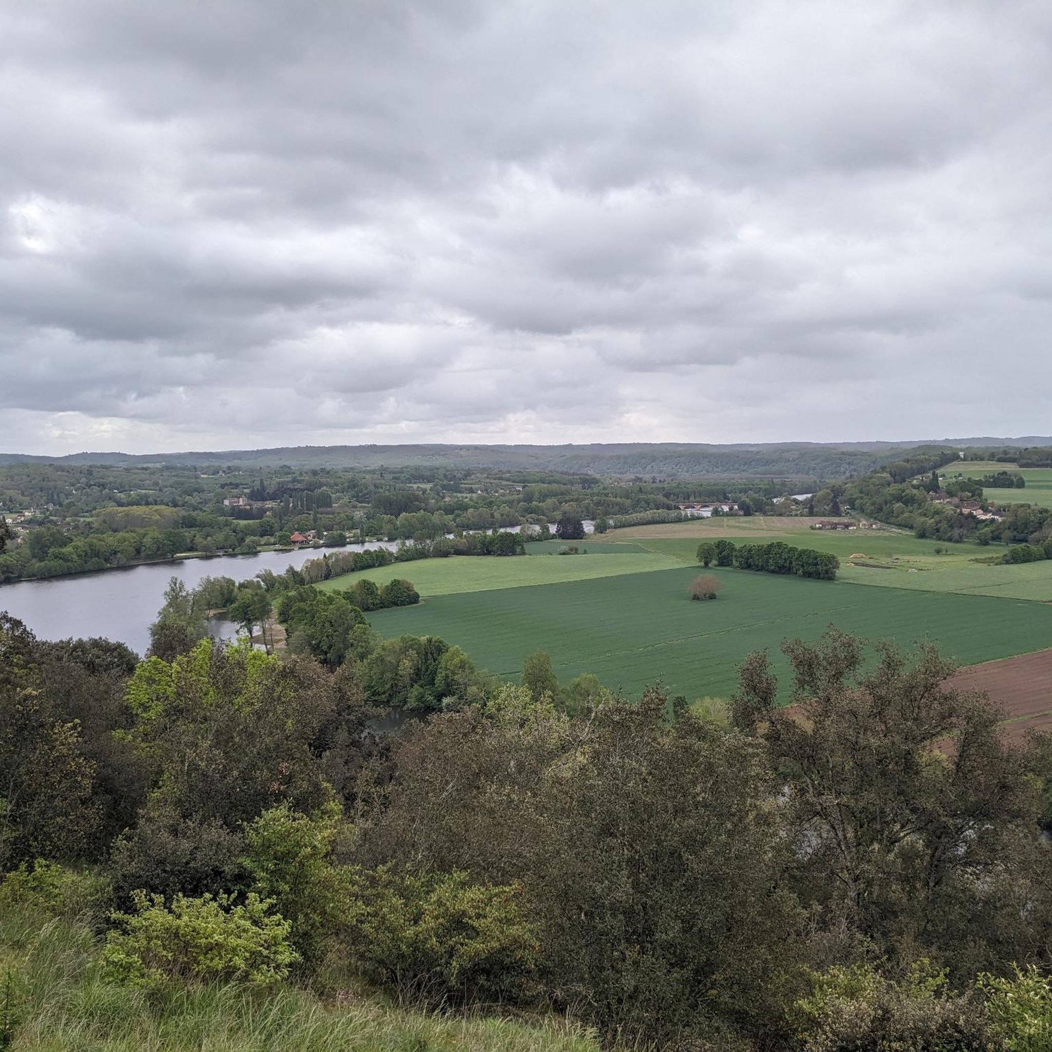
The GR 6 passes through Mauzac and climbs to the top of its cliffs. Overlooking the Dordogne, you walk along the bed of the river in the undergrowth, crossing old Périgord buildings and revealing a few gaps at the bend, an exceptional panorama of the valley below!
1
0
Ideally located upstream of the dam, the water reservoir allows you to come and practice sailing at the foot of the cliffs! The port of Mauzac is a charming little place ideal for a picnic stop.
1
0
Frequently Asked Questions
How many running routes are available in Sainte-Foy-De-Longas?
There are over 120 running routes around Sainte-Foy-De-Longas, offering a wide variety of options for all fitness levels. These include 9 easy routes, 95 moderate routes, and 17 more challenging trails.
What kind of terrain can I expect on the jogging trails in Sainte-Foy-De-Longas?
The jogging trails in Sainte-Foy-De-Longas traverse a diverse rural landscape. You can expect significant forest coverage, agricultural areas, and subtly undulating limestone hillsides and valleys. The Louyre valley, a primary waterway, also adds a picturesque element to many routes, offering varied scenery and running surfaces.
Are there routes suitable for beginners or easy runs?
Yes, there are 9 easy running routes available. For a gentle introduction, consider the Running loop from Combe Blanche, which is an easy 4.1 km (2.5 miles) path.
What do other runners say about the trails in Sainte-Foy-De-Longas?
The running routes in Sainte-Foy-De-Longas are highly rated by the komoot community, with an average score of 4.4 stars from over 40 reviews. More than 1000 runners have used komoot to explore the varied terrain, often praising the quiet woodlands and scenic agricultural fields.
Are there any circular running routes in the area?
Many of the routes around Sainte-Foy-De-Longas are designed as loops, allowing you to start and finish in the same location. For example, the Running loop from Constant is a popular circular trail covering 10.6 km (6.6 miles).
What landmarks or points of interest can I see while jogging?
While jogging, you can discover various points of interest. The region features rural charm with characterful dwellings, old mills along the Louyre, and path crosses. The Mauzac Port is also a notable spot along some routes. Additionally, the ruins of the Château de Longas, a historic monument, overlook the valley and can be incorporated into a run.
Are there scenic running routes with good views?
Absolutely. The subtly undulating landscape, particularly the limestone hillsides, offers challenging ascents and gentle descents with rewarding vistas. A specific hiking loop, which can be adapted for running, ascends to the "plateau des Fargues" and offers magnificent panoramic views of the surrounding countryside.
Can I bring my dog on the running trails in Sainte-Foy-De-Longas?
Many trails in rural areas like Sainte-Foy-De-Longas are generally dog-friendly, especially those through forests and agricultural fields. However, it's always advisable to keep your dog on a leash, particularly when passing through farmland or near livestock, and to respect local regulations and private property.
Are the running routes family-friendly?
Yes, with a selection of 9 easy routes, there are options suitable for families. These shorter, less challenging paths through woodlands and open fields provide a pleasant experience for all ages. Always check the route's distance and elevation to ensure it matches your family's fitness level.
When is the best time of year to go jogging in Sainte-Foy-De-Longas?
The Dordogne region generally offers pleasant conditions for jogging from spring through autumn. Spring brings blooming flora, while autumn provides beautiful fall foliage. Summer can be warm, so early morning or late evening runs are often preferred. Winter runs are possible, but trails might be muddy after rain.
Are there any running routes that follow waterways?
Yes, the Louyre is the primary waterway traversing the commune, and several routes incorporate its banks. For instance, the Mauzac Port loop from Mauzac-et-Grand-Castang follows the Louyre river for parts of its journey, offering a refreshing element to your run.
What are the parking options for accessing the running trails?
As a rural commune, parking is typically available in village centers or designated trailheads. For routes starting from specific villages like Sainte-Alvère, you can usually find parking within the village itself or at nearby public spaces. Always check local signage for any restrictions.
Is public transport available to reach the jogging routes?
Sainte-Foy-De-Longas is a rural area, so public transport options might be limited compared to larger towns. While there may be local bus services connecting to nearby larger centers, direct public transport to specific trailheads might not be widely available. It's often best to plan for car access or check local transport schedules in advance.
Most popular routes around Sainte-Foy-De-Longas
Most popular attractions around Sainte-Foy-De-Longas

Get inspired with the komoot mobile app


Explore more
Browse the best Running Trails & Routes in other regions.
