The best running trails around Braunweiler
4.3
(293)
4,365
runners
254
runs
Jogging around Braunweiler offers a diverse range of routes for runners. The region features varied terrain, including paths that lead past historical sites and through natural landscapes. With a mix of elevation changes, the area provides options for different fitness levels.
Best jogging routes around Braunweiler
- The most popular jogging route is Burg Gutenburg Ruins – View of Gutenberg Castle Ruins loop from Sankt Katharinen, a 7.5 miles (12.1 km) trail that takes 1 hour 15 minutes to complete.…
Last updated: July 2, 2026
27
runners
Moderate run. Good fitness required. Mostly paved surfaces. Suitable for all skill levels.
5.0
(1)
5
runners
7.77km
00:49
80m
80m
Moderate run. Good fitness required. Mostly paved surfaces. Suitable for all skill levels.

Sign up for free
9
runners
6.33km
00:42
70m
70m
Moderate run. Good fitness required. Mostly paved surfaces. Suitable for all skill levels.
3
runners
12.2km
01:21
230m
230m
Moderate run. Good fitness required. Mostly paved surfaces. Suitable for all skill levels.
6
runners
4.04km
00:26
50m
50m
Easy run. Great for any fitness level. Mostly paved surfaces. Suitable for all skill levels.
Get access to more routes and recommendations from other explorers.
Sign up for free
Already have an account?
Our route recommendations are based on thousands of hikes, rides, and runs completed by other people on komoot.
Start today with a free account
Your next adventure awaits.
Login or Signup
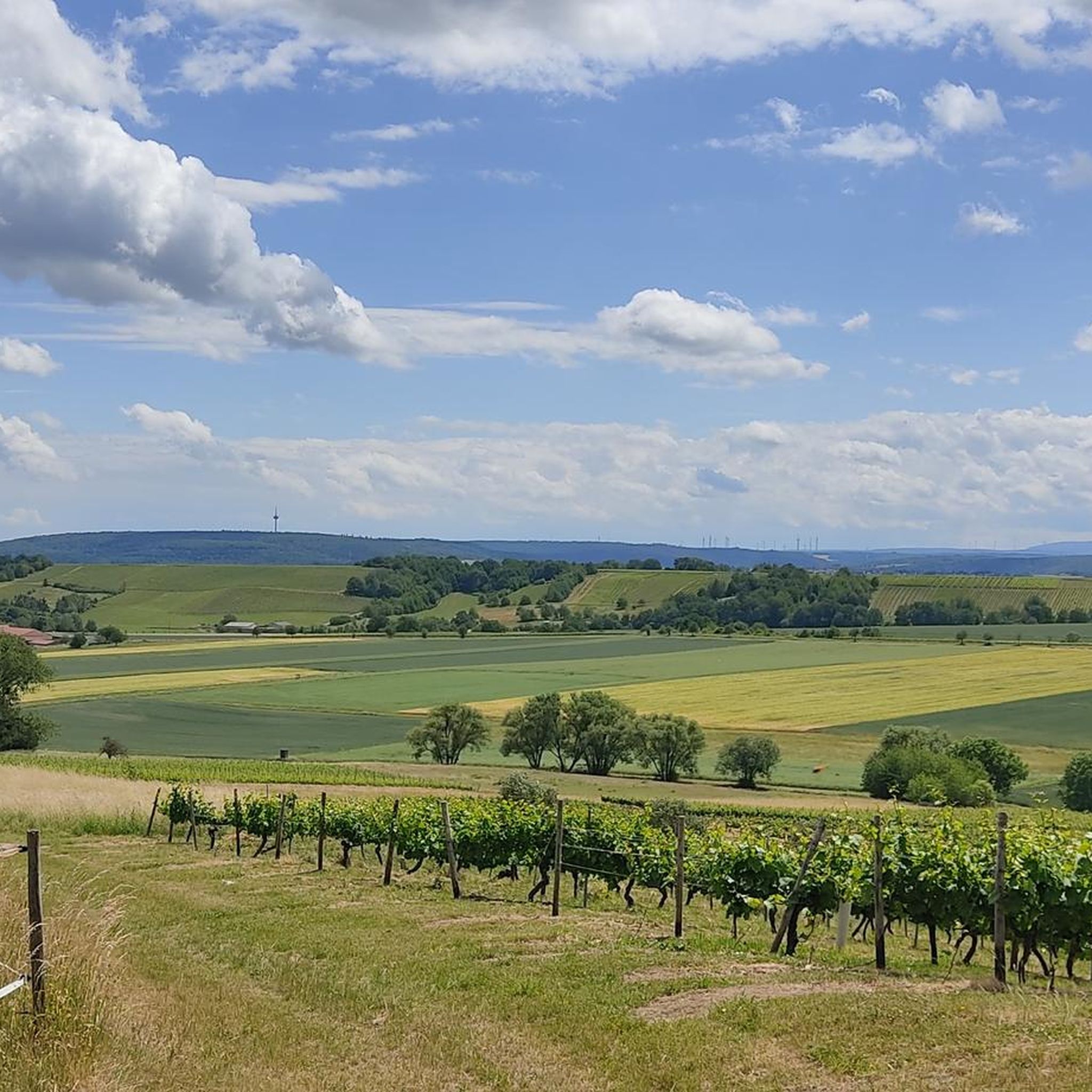
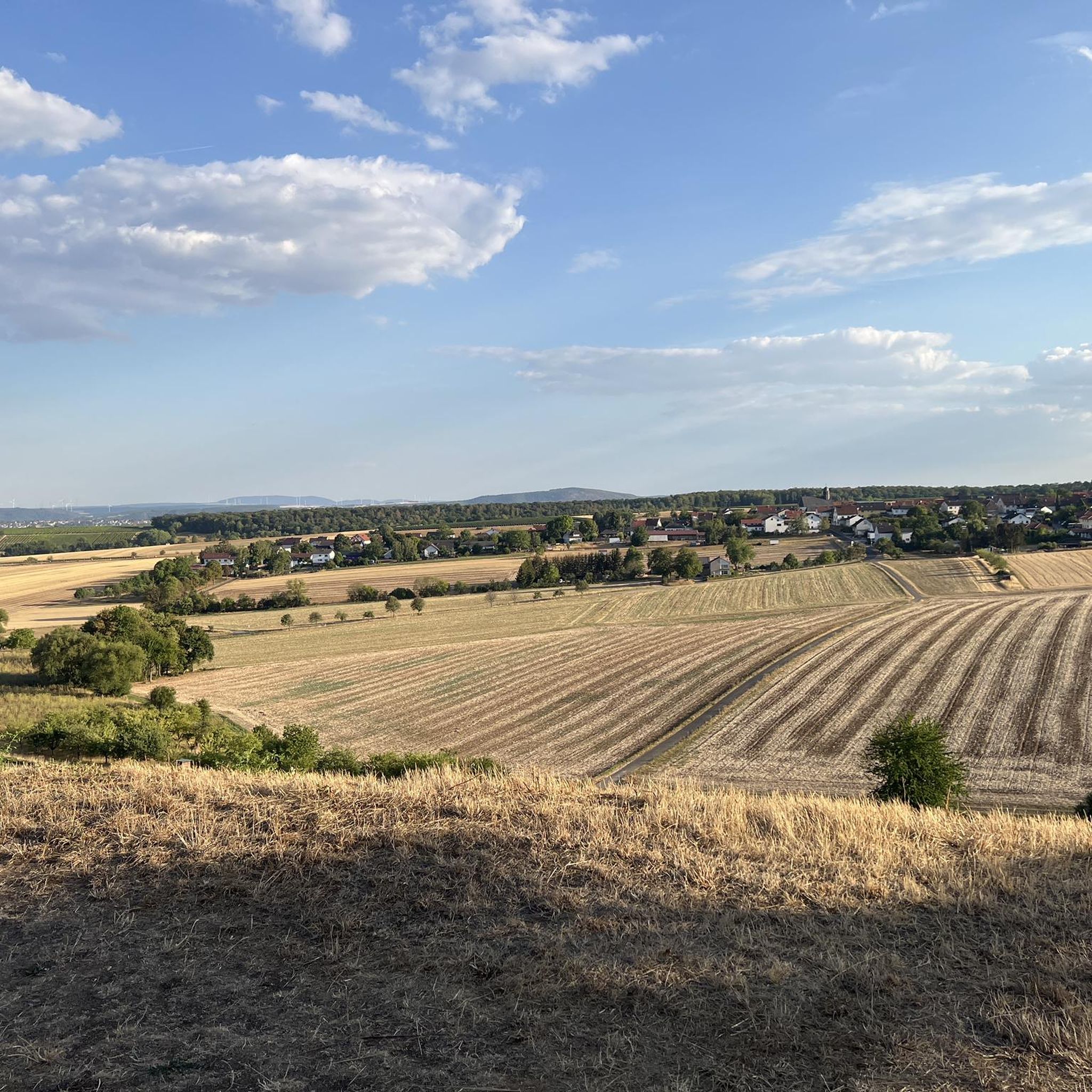

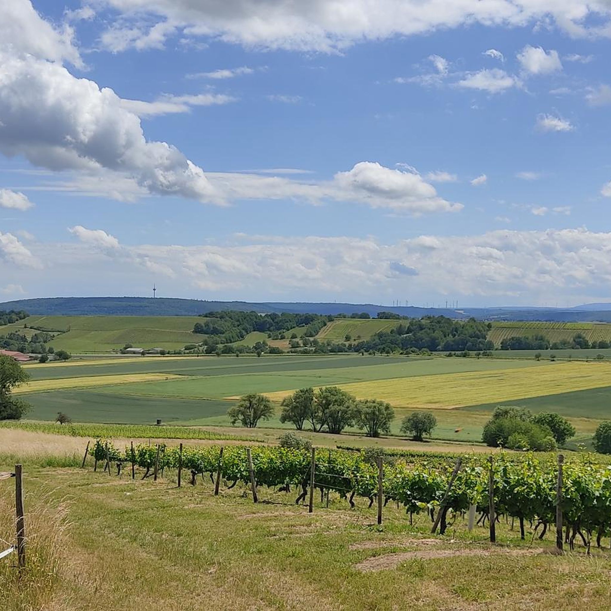
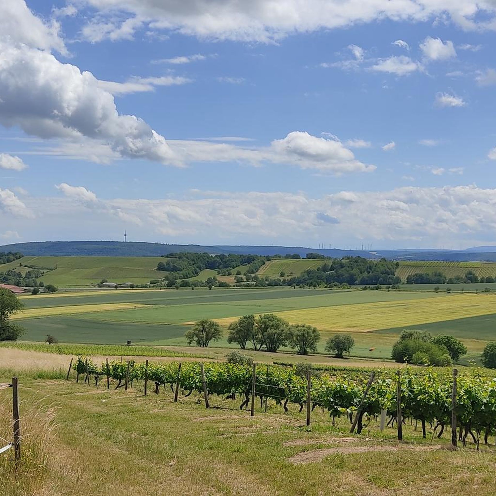
Tips from the Community

Beautiful small and open chapel
1
0

In the village of Dalburg at the Chapel of St. Leonard there is another meditation panel on the Hildegardweg (panel 46: “The triple wall”).
1
0
In the village of Dalburg at the Chapel of St. Leonard there is another meditation panel on the Hildegardweg (panel 46: “The triple wall”).
2
0
So we found the swing somewhere else
1
0
The swing is in a completely different place
0
0

Unfortunately, access is now blocked.
0
0

Here a beautiful cycle path leads towards Sonnwald
0
0

Beautiful view of the Dalburg.
0
0
Frequently Asked Questions
How many running routes are available in Braunweiler?
Braunweiler offers a wide selection of running routes, with over 240 different trails to explore. This includes options for various fitness levels, from easy jogs to more challenging runs.
Are there easy running trails for beginners in Braunweiler?
Yes, Braunweiler has approximately 25 easy running routes perfect for beginners or those looking for a relaxed jog. These trails typically feature less elevation gain and shorter distances, allowing for a comfortable introduction to running in the region.
What are some longer running routes for experienced runners in Braunweiler?
For experienced runners seeking a longer challenge, consider routes like St. Leonard's Chapel loop from Wallhausen, which covers over 12 kilometers with notable elevation changes. Another excellent option is Running loop from Mandel, offering a substantial distance of over 11.5 kilometers through varied terrain.
Can I find circular running routes around Braunweiler?
Absolutely. Many of the running routes in Braunweiler are circular, providing convenient loop options. For example, the popular Burg Gutenburg Ruins – View of Gutenberg Castle Ruins loop from Sankt Katharinen is a 12.1 km circular trail, and the Wooden Swing With Village View loop from Sankt Katharinen is another great loop option.
Are there any running trails in Braunweiler that offer scenic viewpoints?
Yes, several running routes in Braunweiler provide access to beautiful viewpoints. For instance, the Burg Gutenburg Ruins – View of Gutenberg Castle Ruins loop from Sankt Katharinen offers views of the historic Gutenberg Castle Ruins. You can also find highlights like View of the Nahe Valley from Lemberghütte Observation Platform and Weissenfels Viewpoint near many trails, providing stunning panoramas of the surrounding landscape.
What kind of attractions or landmarks can I see while jogging in Braunweiler?
While jogging in Braunweiler, you can encounter a mix of historical sites and natural beauty. Routes often pass by landmarks such as the Gutenberg Castle Ruins. The region also features natural attractions like Silver Lake (Lemberg Nature Reserve) and various mountain peaks like Ellerspring, offering diverse sights along your run.
Are the running routes in Braunweiler suitable for families?
Many of Braunweiler's running routes are suitable for families, especially the easier and moderate trails. These paths often traverse through natural landscapes and offer a pleasant environment for a family outing. Always check the route's difficulty and length to ensure it matches your family's fitness level.
Are dogs allowed on the running trails in Braunweiler?
Generally, dogs are welcome on the running trails in Braunweiler. It's always recommended to keep your dog on a leash, especially in nature reserves or areas with wildlife, and to be mindful of other trail users. Please ensure you clean up after your pet to maintain the natural environment.
Is there parking available near the running routes in Braunweiler?
Yes, parking is typically available in or near the starting points of many running routes in Braunweiler, particularly in the villages like Wallhausen or Sankt Katharinen. It's advisable to check specific route details on komoot for designated parking areas or local village parking options before you head out.
How accessible are Braunweiler's running routes by public transport?
Braunweiler and its surrounding villages are generally served by local bus routes, which can provide access to various starting points for running trails. While some routes might be directly accessible, others may require a short walk from the nearest bus stop. Planning your journey in advance using local public transport schedules is recommended.
What is the best time of year to go running in Braunweiler?
The spring and autumn months are often considered ideal for running in Braunweiler, thanks to milder temperatures and beautiful scenery. Spring brings blooming nature, while autumn offers vibrant foliage. Summer can also be pleasant, especially during early mornings or late evenings, to avoid the midday heat. Winter running is possible, but some trails might be slippery or muddy, so appropriate gear is essential.
What do other runners say about the trails in Braunweiler?
The running trails in Braunweiler are highly rated by the komoot community, with an average score of 4.4 stars from over 260 reviews. Runners often praise the region for its varied terrain, the mix of historical sites and natural landscapes, and the well-maintained paths that cater to different abilities. Over 4000 runners have used komoot to explore the area, highlighting its popularity.
Most popular routes around Braunweiler
Most popular attractions around Braunweiler

Get inspired with the komoot mobile app


Explore more
Browse the best Running Trails & Routes in other regions.
