The best cycling routes around Pie-D'Orezza
4.8
(57)
422
riders
18
rides
Touring cycling routes around Pie-D'Orezza traverse a varied topography, from the Orezza Valley to the slopes of San Petrone mountain. The region features elevations ranging from 541 to 1,766 meters, providing diverse inclines and descents. Cyclists can expect routes winding through verdant forests and past streams, with the village itself situated at an average elevation of 633 meters. This area of Haute-Corse offers a range of challenging routes for experienced touring cyclists.
Best touring cycling routes around Pie-D'Orezza
- The most…
Last updated: June 28, 2026
4.7
(36)
238
riders
Hard bike ride. Very good fitness required. Mostly paved surfaces. Suitable for all skill levels.
4.8
(4)
22
riders
53.3km
03:53
1,160m
1,170m
Hard bike ride. Very good fitness required. Mostly paved surfaces. Suitable for all skill levels.

Sign up for free
5.0
(1)
26
riders
46.2km
03:29
1,140m
1,140m
Hard bike ride. Very good fitness required. Mostly paved surfaces. Suitable for all skill levels.
13
riders
50.1km
03:44
1,170m
1,170m
Hard bike ride. Very good fitness required. Mostly paved surfaces. Suitable for all skill levels.
4.8
(4)
23
riders
75.1km
05:35
1,780m
1,780m
Hard bike ride. Very good fitness required. Mostly paved surfaces. Suitable for all skill levels.
Get access to more routes and recommendations from other explorers.
Sign up for free
Already have an account?
Our route recommendations are based on thousands of hikes, rides, and runs completed by other people on komoot.
Start today with a free account
Your next adventure awaits.
Login or Signup
Popular around Pie-D'Orezza


Tips from the Community

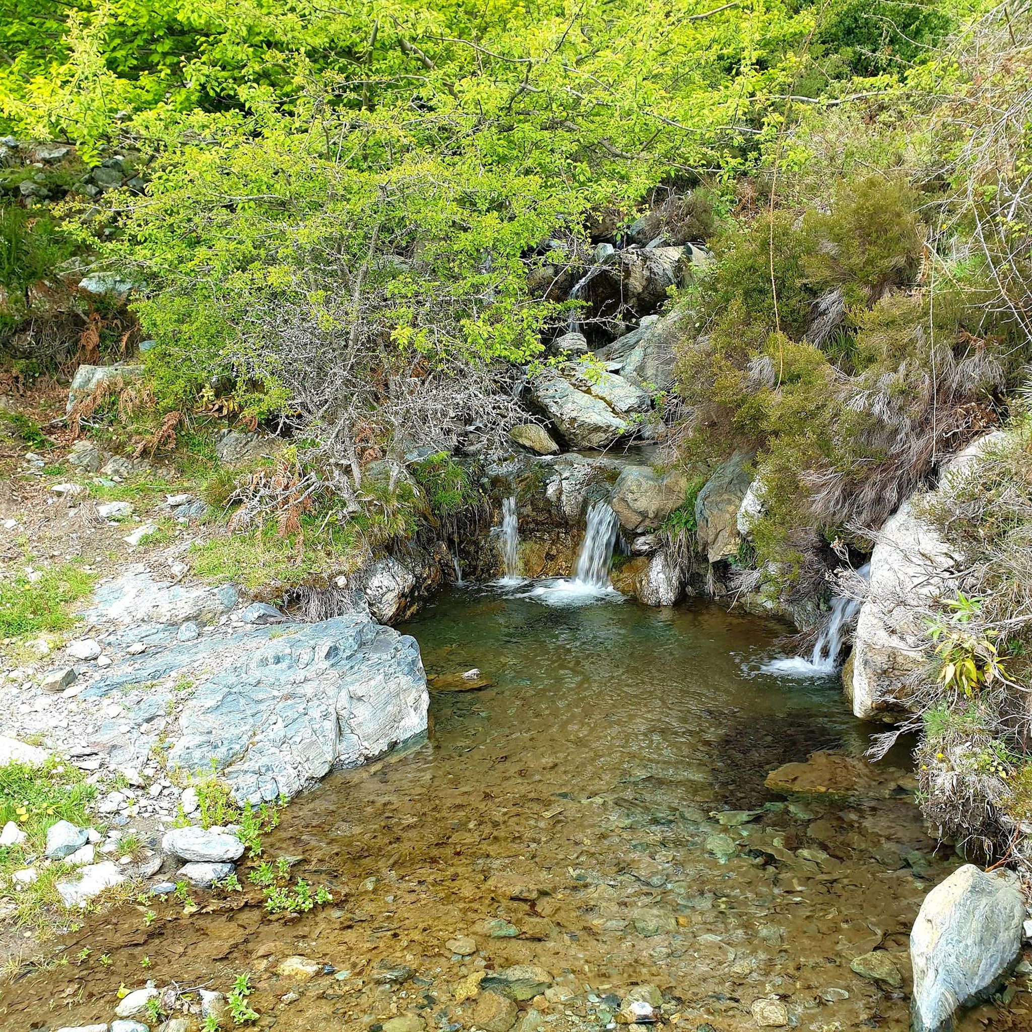
good point to take a break not directly on the road, but still close by. There is also a water point here, warm water comes out of it on sunny days.
0
0


Please never take the Eucalyptos route, as dogs will attack you there - this has probably happened to several people.
0
0

There is a fountain in the square next to the war memorial. Drinkable and fresh.
0
0
This portal was created by a famous cabinetmaker from the micro region, Abel Raclot.
0
0
Main village of Ampugnani Café open all year round San Petrone (1767 m) the highest peak of Castagniccia dominates La Porta Beautiful hike 👍👍👍
0
0

The rather narrow road offers great views of the valley, has good asphalt and little traffic.
0
0
Now open all year round, 4 days a week. The managers are former goat breeders, very friendly 👍👍
1
0
Frequently Asked Questions
What kind of terrain can I expect on touring cycling routes around Pie-D'Orezza?
The region around Pie-D'Orezza offers a varied topography, with routes traversing the dramatic Orezza Valley and ascending the slopes of San Petrone mountain. You can expect significant elevation changes, ranging from 541 to 1,766 meters, providing both challenging climbs and descents. Routes often wind through verdant forests and past streams, with the village itself situated at an average elevation of 633 meters.
Are there any circular touring cycling routes available in Pie-D'Orezza?
Yes, many of the touring cycling routes around Pie-D'Orezza are designed as loops. For example, you can explore the area around Bustanico on the Saint Lucia of Mercury 👀🤩🚴♀️ – Drinking fountains in Bustanico loop from Alando, or discover historical sites on the Saint Antoine Ruines – La Porta loop from Piedicroce. Another popular option is the San Petru d'Accia – La Porta loop from San-Gavino-d'Ampugnani, which leads through the Castagniccia region.
What natural features and viewpoints can I discover while cycling in the Orezza Valley?
The Orezza Valley and surrounding areas boast stunning natural features. You can encounter waterfalls like the Struccia Waterfall, or the Ucelluline Waterfall, which is part of a longer loop route. The prominent Mount San Petrone offers impressive vistas, and you might find a beautiful view below the Pointe de Sambuco. The region is also home to the Bucatoggio Stream and various springs.
Are there any historical sites or charming villages to visit along the cycling routes?
Absolutely. The region is rich in cultural heritage. You can cycle past historical ruins such as the Orezza Monastery Ruins or the 15th-century fort 'U Castellucciu'. Charming villages like La Porta, Piedicroce, and Rapaggio offer glimpses into local life and architecture. The San Mamilianu Chapel and ancient Genoese bridges also add historical charm to your ride. For more details on the cultural heritage, you can visit visit-corsica.com.
What is the general difficulty level of touring cycling routes in Pie-D'Orezza?
The touring cycling routes around Pie-D'Orezza are primarily suited for experienced cyclists. All 18 routes listed are classified as difficult, featuring significant elevation gains and descents. This makes the area ideal for those seeking challenging ascents and rewarding rides through mountainous terrain.
What do other touring cyclists say about the routes in Pie-D'Orezza?
The touring cycling routes in Pie-D'Orezza are highly rated by the komoot community, with an average score of 4.8 stars from more than 50 reviews. Cyclists often praise the dramatic Orezza Valley, the presence of San Petrone mountain, and the routes that wind through dense forests and past historical sites, offering a challenging yet rewarding experience.
Are there any routes that pass by waterfalls?
Yes, there is a notable route that features a waterfall. The Ucelluline Waterfall – Alesani Dam loop from La Porta is a challenging 101.8 km route that includes the Ucelluline Waterfall. Additionally, the Struccia Waterfall is a highlight in the area that can be incorporated into rides.
Are there any specific routes that explore the Castagniccia region?
Yes, the San Petru d'Accia – La Porta loop from San-Gavino-d'Ampugnani is a 56.0 km route that leads directly through the Castagniccia region. This area is known for its luxuriant environment and charming villages, offering a scenic and culturally rich cycling experience.
Are there any long-distance touring routes for experienced cyclists?
For experienced touring cyclists looking for longer distances, the Ucelluline Waterfall – Alesani Dam loop from La Porta is a substantial option, covering 101.8 km with significant elevation changes. Another challenging long route is the Zalana – Tallone, a village in the mountains loop from Alando, which is 75.1 km long.
What is the highest point reached by cycling routes in the Pie-D'Orezza area?
While the summit of San Petrone mountain (1,767 meters) is primarily a hiking destination, the cycling routes in the Pie-D'Orezza commune itself can reach elevations up to 1,766 meters. This ensures a variety of challenging inclines and descents, with the village of Pie-D'Orezza sitting at an average elevation of 633 meters.
Is it possible to find drinking water sources along the routes?
Yes, some routes specifically highlight the presence of drinking fountains. For instance, the Saint Lucia of Mercury 👀🤩🚴♀️ – Drinking fountains in Bustanico loop from Alando mentions drinking fountains along its path, which can be a convenient feature for touring cyclists.
Most popular routes around Pie-D'Orezza
Most popular attractions around Pie-D'Orezza

Get inspired with the komoot mobile app


Explore more
Browse the best Cycling routes in other regions.
