The best running trails around Kusel
4.4
(211)
3,008
runners
363
runs
Jogging routes around Kusel traverse a diverse landscape characterized by hilly terrain, extensive forests, and river valleys. The region offers a network of well-maintained trails, providing varied options for runners. Key natural features include the Glan River, Ohmbach Lake, and numerous field paths, offering varied running surfaces. This combination of natural beauty and varied topography makes Kusel an appealing destination for outdoor activities.
Best jogging routes around Kusel
- The most popular jogging route is Lake Ohmbach – Lake Ohmbach loop…
Last updated: August 11, 2026
5.0
(4)
130
runners
10.5km
01:06
90m
90m
Moderate run. Good fitness required. Mostly paved surfaces. Suitable for all skill levels.
99
runners
14.5km
01:38
370m
370m
Hard run. Very good fitness required. Mostly paved surfaces. Suitable for all skill levels.

Sign up for free
4.6
(5)
101
runners
18.0km
01:56
200m
200m
Hard run. Very good fitness required. Mostly paved surfaces. Suitable for all skill levels.
5.0
(1)
48
runners
50.3km
06:10
1,500m
1,500m
Hard run. Very good fitness required. Mostly accessible paths. Some sure footedness required.
5.0
(2)
43
runners
Moderate run. Good fitness required. Mostly paved surfaces. Suitable for all skill levels.
5.0
(4)
36
runners
27.1km
03:16
620m
620m
Hard run. Very good fitness required. Mostly paved surfaces. Suitable for all skill levels.
5.0
(1)
30
runners
22.3km
02:19
110m
110m
Hard run. Very good fitness required. Mostly paved surfaces. Suitable for all skill levels.
38
runners
13.8km
01:28
100m
100m
Moderate run. Good fitness required. Mostly paved surfaces. Suitable for all skill levels.
5.0
(1)
39
runners
Hard run. Very good fitness required. Mostly paved surfaces. Suitable for all skill levels.
37
runners
6.90km
00:45
90m
90m
Moderate run. Good fitness required. Mostly paved surfaces. Suitable for all skill levels.
Get access to more routes and recommendations from other explorers.
Sign up for free
Already have an account?
Our route recommendations are based on thousands of hikes, rides, and runs completed by other people on komoot.
Start today with a free account
Your next adventure awaits.
Login or Signup
Popular around Kusel
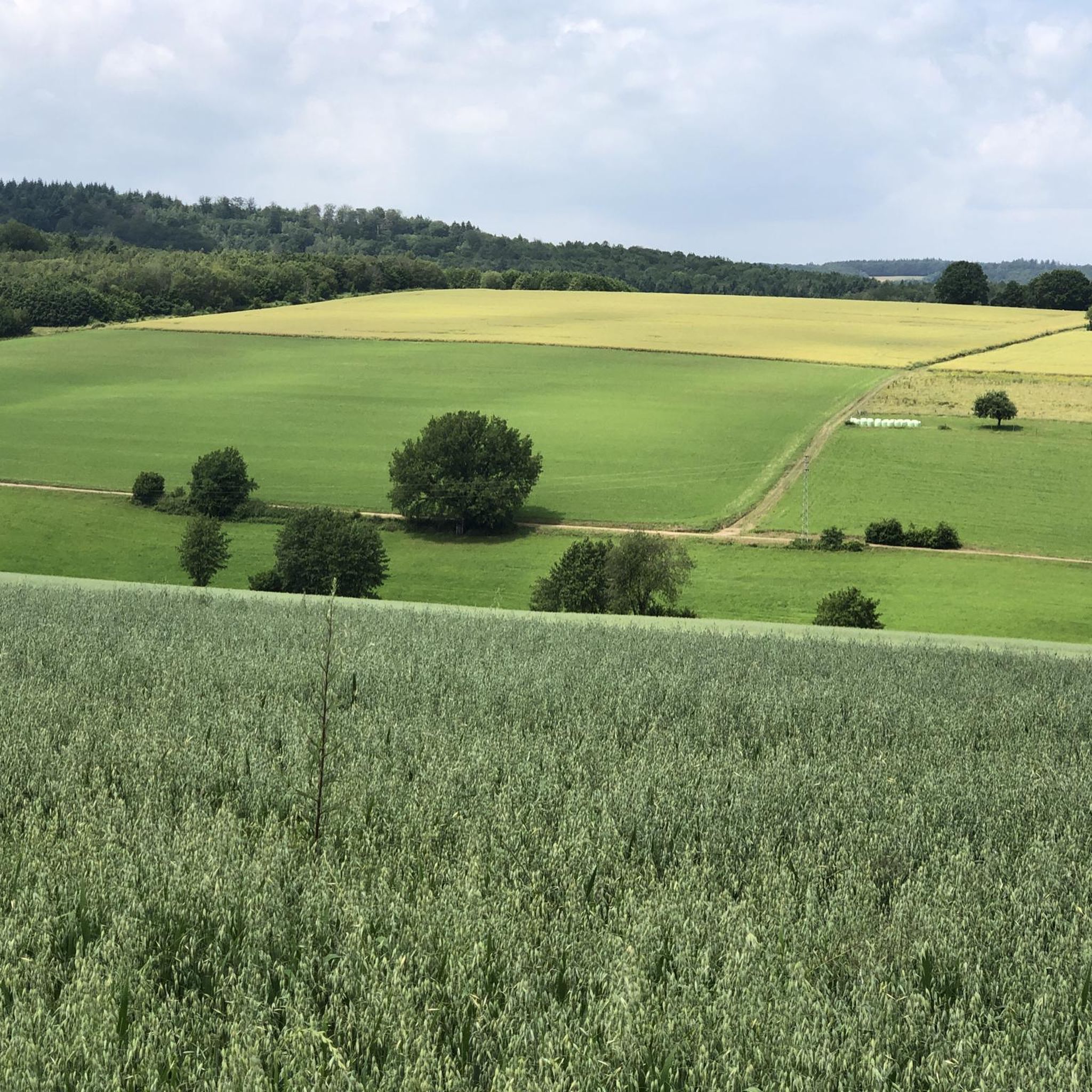
Running Trails around Waldmohr
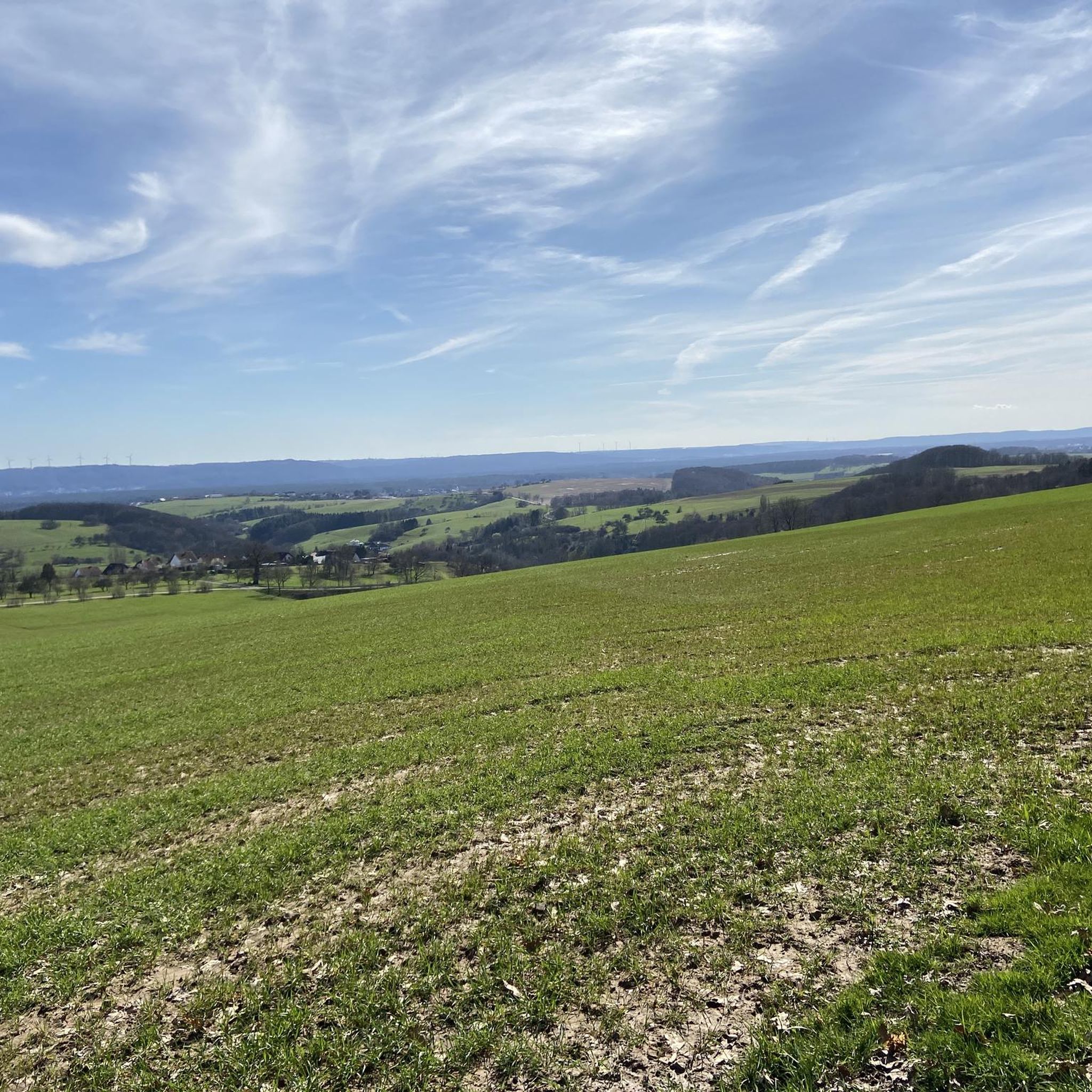
Running Trails around Börsborn
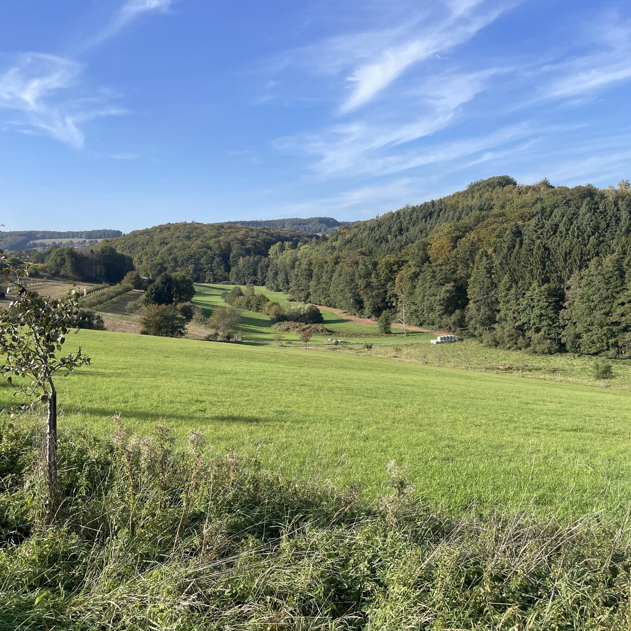
Running Trails around Nanzdietschweiler
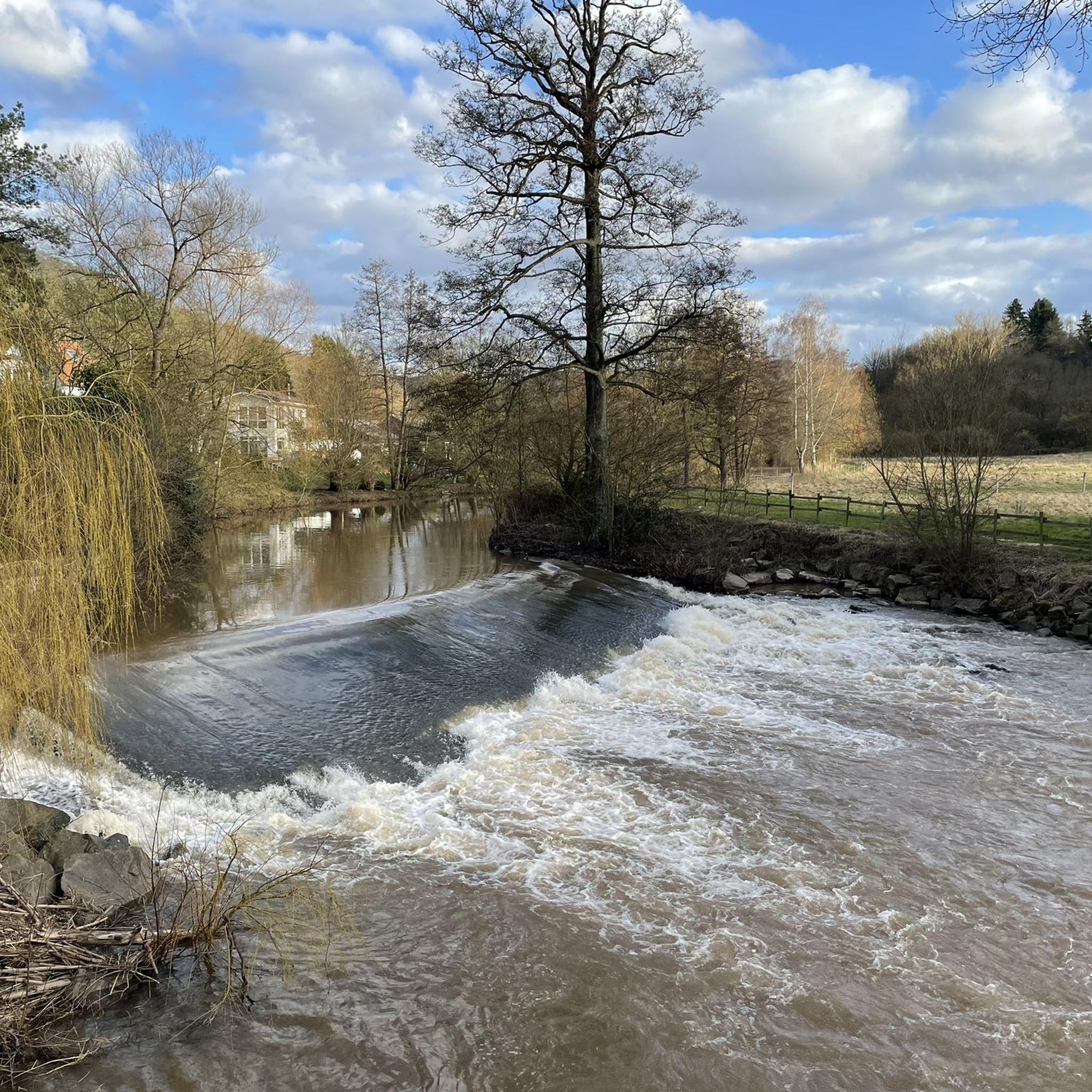
Running Trails around Erdesbach
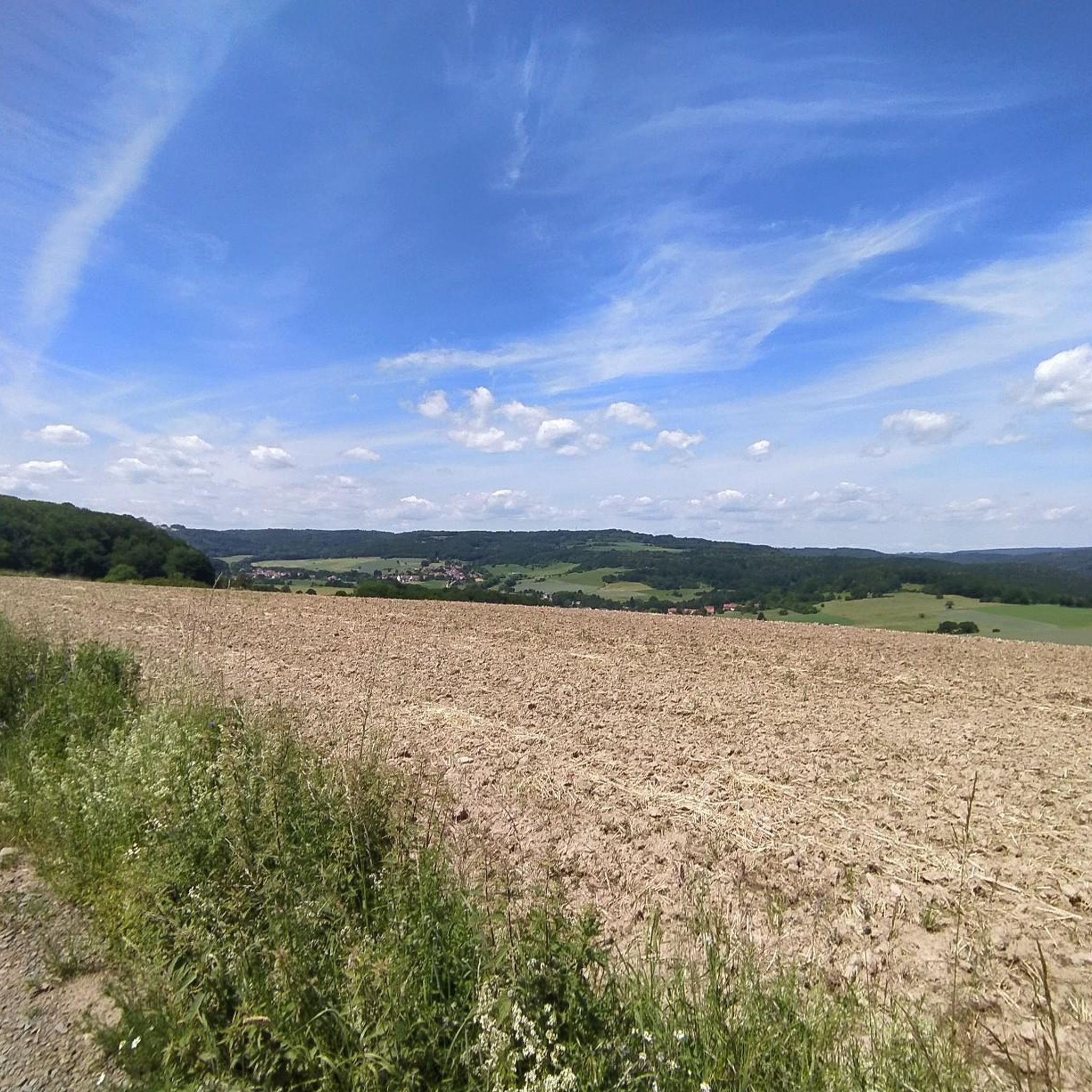
Running Trails around Oberalben
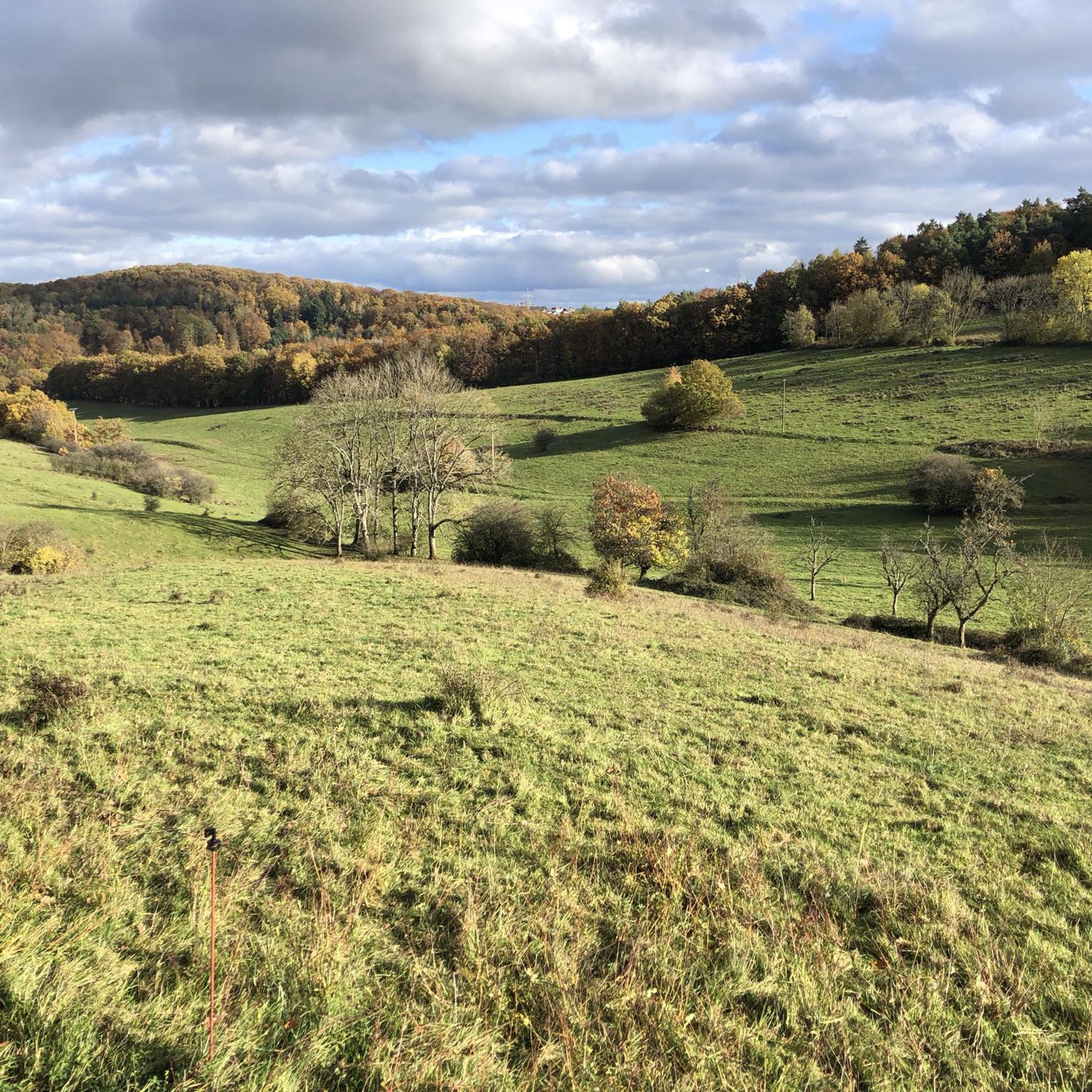
Running Trails around Brücken (Pfalz)
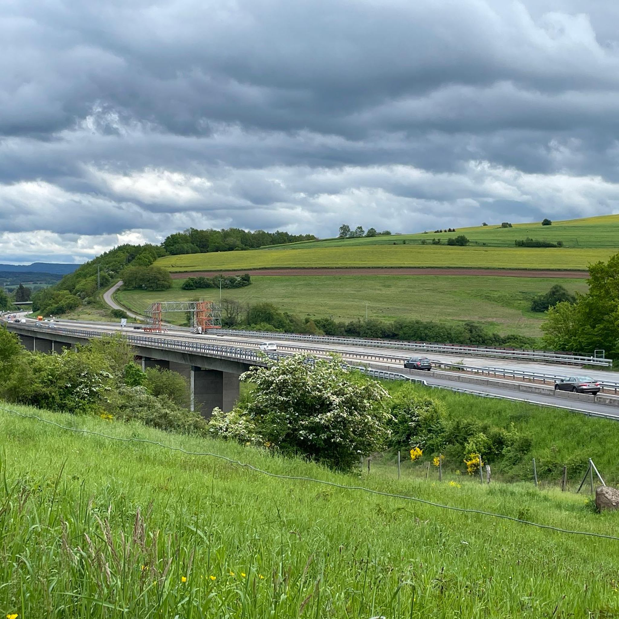
Running Trails around Quirnbach/Pfalz
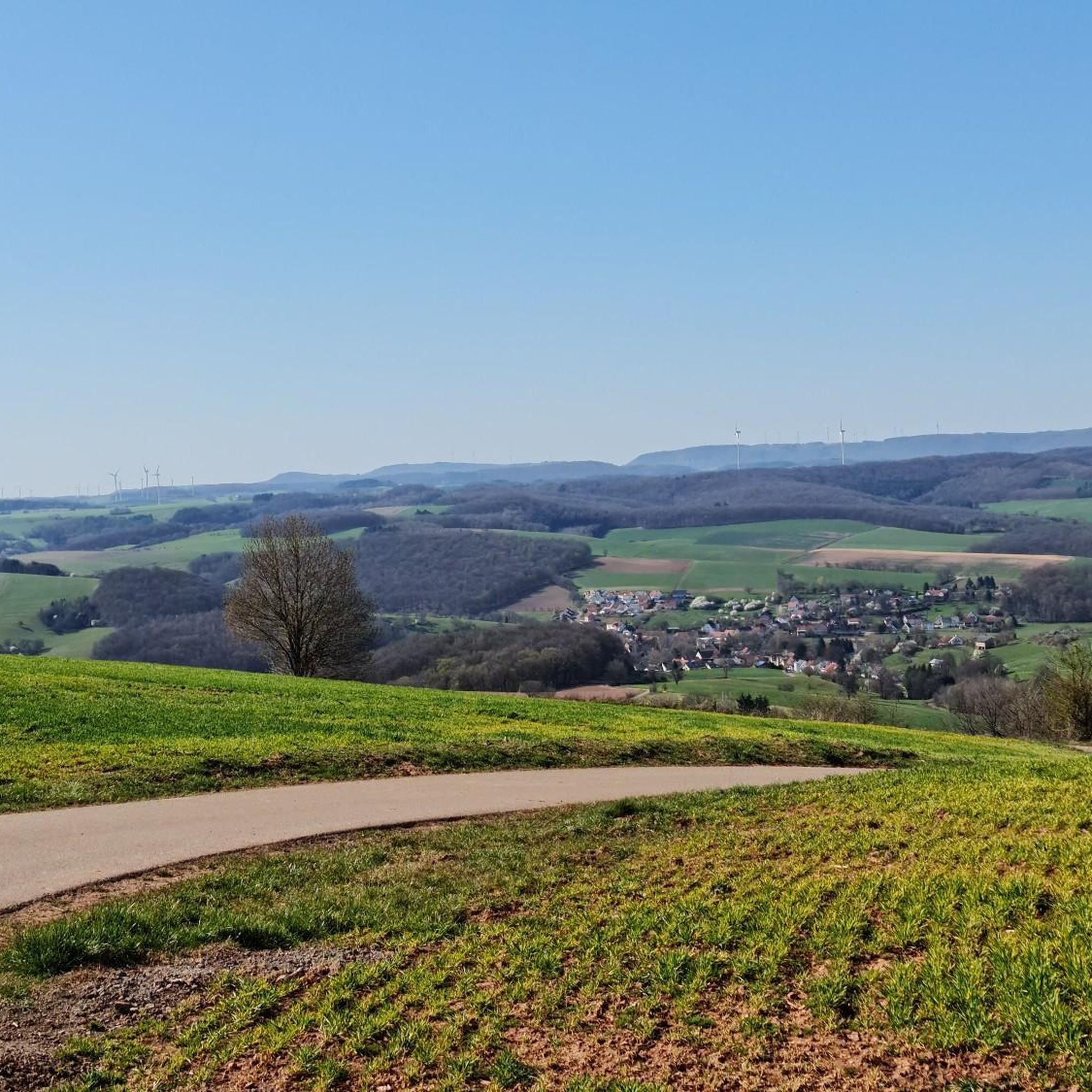
Running Trails around Rehweiler
Running Trails around Bedesbach
Running Trails around Welchweiler
Other adventures around Kusel


Tips from the Community

The Buchwaldhütte (approx. 90 places, PWV Theisbergstegen) is a popular, managed hut of the Pfälzerwald-Verein in Theisbergstegen. It is located at the foot of the Potzberg (near the Wild- & Greifvogelpark) and is an ideal starting point for hikes. The hut is reachable from the village in 20 minutes and offers space for hikers and families. Highlights and info: Location: Theisbergstegen, near the Potzberg ("King of the Westrich"). Facilities: Two dining rooms (approx. 60 + 30 places), outdoor seating. Hiking: Starting point for tours, e.g. family tour to the wildlife park. Operator: PWV local group Theisbergstegen-Godelhausen.
1
0
The Potzbergturm is a 35-meter-high sandstone tower on the 562-meter-high Potzberg near Föckelberg (Kusel district). It was built in 1951 (inauguration 13.07.1952), offers a wide view over the Palatinate Forest to the Vosges mountains and is a popular excursion destination. Next to the tower, there is a wildlife park, a falconry, and a hotel-restaurant (closed). It is located on the summit of Potzberg, near Föckelberg (Westpfalz) and offers a panoramic view over Westpfalz, the Palatinate Forest, and up to the Hunsrück/Vosges.
1
0
The Potzbergturm is a 35-meter-high sandstone tower on the 562-meter-high Potzberg near Föckelberg (Kusel district). It was built in 1951 (inauguration 13.07.1952), offers a wide view over the Palatinate Forest to the Vosges and is a popular destination. Next to the tower, there is a wildlife park, a falconry, and a hotel-restaurant. It is located on the summit of Potzberg, near Föckelberg (Westpfalz) and offers a panoramic view over Westpfalz, the Palatinate Forest, and up to the Hunsrück/Vosges. Opening hours: There are no specific, official closing times for the tower.
1
0
The Potzbergturm is a 35-meter-high sandstone tower on the 562-meter-high Potzberg near Föckelberg (Kusel district). It was built in 1951 (inauguration 13.07.1952), offers a wide view over the Palatinate Forest to the Vosges mountains and is a popular excursion destination. Next to the tower, there is a wildlife park, a falconry, and a hotel-restaurant. It is located on the summit of Potzberg, near Föckelberg (Westpfalz) and offers a panoramic view over Westpfalz, the Palatinate Forest, and up to the Hunsrück/Vosges. Opening hours: There are no specific, official closing times for the tower.
1
0

Great view over the Palatinate region!
0
0

The wolf fountain on the town hall square in Wolfstein pays homage to the town's name, which dates back to a historic noble line, the Lords of Wolfstein. The wolf in the fountain symbolizes the naming and, as a heraldic animal, represents the town's historical connection to this line, which named itself after the town in the late 13th century.
3
0

Beautiful picnic area with a small shelter (can be rented as a barbecue area) - and a wonderful old oak tree!
1
0

The old town offers some beautiful half-timbered houses and places to stop for a bite to eat.
0
0
Frequently Asked Questions
How many running routes are available around Kusel?
There are over 360 running routes available around Kusel, catering to various fitness levels. You'll find everything from easy loops to more challenging trails with significant elevation changes.
Are there any easy or beginner-friendly jogging routes in Kusel?
Yes, Kusel offers several easy routes suitable for beginners or those looking for a relaxed run. The scenic loop around Ohmbach Lake is particularly popular, providing a relatively flat option. For a moderate challenge, consider the Four Gods Stones – Steam Locomotive Fountain Rehweiler loop from Glan-Münchweiler, which is just over 5 km.
What kind of terrain can I expect on the running trails in Kusel?
The running trails in Kusel feature a diverse landscape, characterized by hilly terrain, extensive forests, and river valleys. You'll encounter varied running surfaces, from natural field paths and forest trails, which are often easier on joints, to sections along the Glan River and around lakes.
Are there any circular running routes in the Kusel area?
Many of the running routes in Kusel are designed as loops, offering convenient circular paths. A great example is the Lake Ohmbach – Lake Ohmbach loop from Brücken (Pfalz), which provides a scenic run around the lake. Another option is the Fisherman's Hut at Motschweiher – Motsch Pond loop from Waldmohr.
Can I bring my dog on the running trails in Kusel?
Kusel's extensive forests and field paths make it a great region for running with dogs. Many trails are suitable for canine companions, but it's always recommended to keep your dog on a leash, especially in nature reserves or areas with wildlife, and to check local regulations for specific routes.
Are there family-friendly running routes suitable for strollers or younger children?
Yes, the loop around Ohmbach Lake is particularly family-friendly, being relatively flat and featuring beautiful rest areas and playgrounds. Sections of the Glan-Blies Cycle Path are also suitable for jogging with strollers, offering unique scenery and ample shade.
What are some scenic highlights or landmarks I can see while running in Kusel?
Kusel offers several scenic highlights. You can run past the historic Glantalbahn Tunnel, enjoy views from the Potzberg Tower area, or explore routes around the impressive Lichtenberg Castle. The region's lakes, like Ohmbach Lake and Motsch Pond, also offer picturesque settings for a run.
Are there any running routes that pass through the Glantalbahn Tunnel?
Yes, the Lake Ohmbach – Glantalbahn Tunnel loop from Brücken (Pfalz) is a popular route that takes you through the historic and illuminated Glantalbahn Tunnel, offering a unique running experience.
What do other runners say about the jogging routes in Kusel?
The running routes in Kusel are highly rated by the komoot community, with an average score of 4.5 stars from over 180 reviews. Runners often praise the diverse terrain, the serene forest environments, and the well-maintained paths that offer varied options for all ability levels.
Are there any long-distance or challenging running trails in Kusel?
For those seeking a greater challenge, Kusel offers several longer and more difficult routes. The Ruins of Neu-Wolfstein Castle – Potzberg Tower loop from Wolfstein is a demanding 50 km trail with significant elevation gain. Another challenging option is the Herzerberg – Fritz-Wunderlich-Weg loop from Kusel, which covers over 27 km.
Are there options for parking near the running trails in Kusel?
Yes, many popular running routes in Kusel, especially those around key attractions like Ohmbach Lake or the Potzberg Tower, have designated parking areas nearby. It's advisable to check the specific route details on komoot for parking information before you head out.
Can I access running trails in Kusel using public transport?
While some routes might be accessible via public transport, especially those closer to towns like Kusel or Altenglan, many trails in the more rural, forested areas may require a short walk from the nearest bus stop or train station. For routes like the Altenglan Draisine Station – View of the Flurskapelle in Ulmet loop from Altenglan, public transport access is often more convenient.
Most popular routes around Kusel
Most popular attractions around Kusel

Get inspired with the komoot mobile app


Didn’t find what you were looking for?
Check out more Running Trails & Routes throughout Kusel below and find the perfect route in your destination.
Explore more
Browse the best Running Trails & Routes in other regions.
