The best running trails around Oberstaufenbach
4.4
(320)
4,315
runners
317
runs
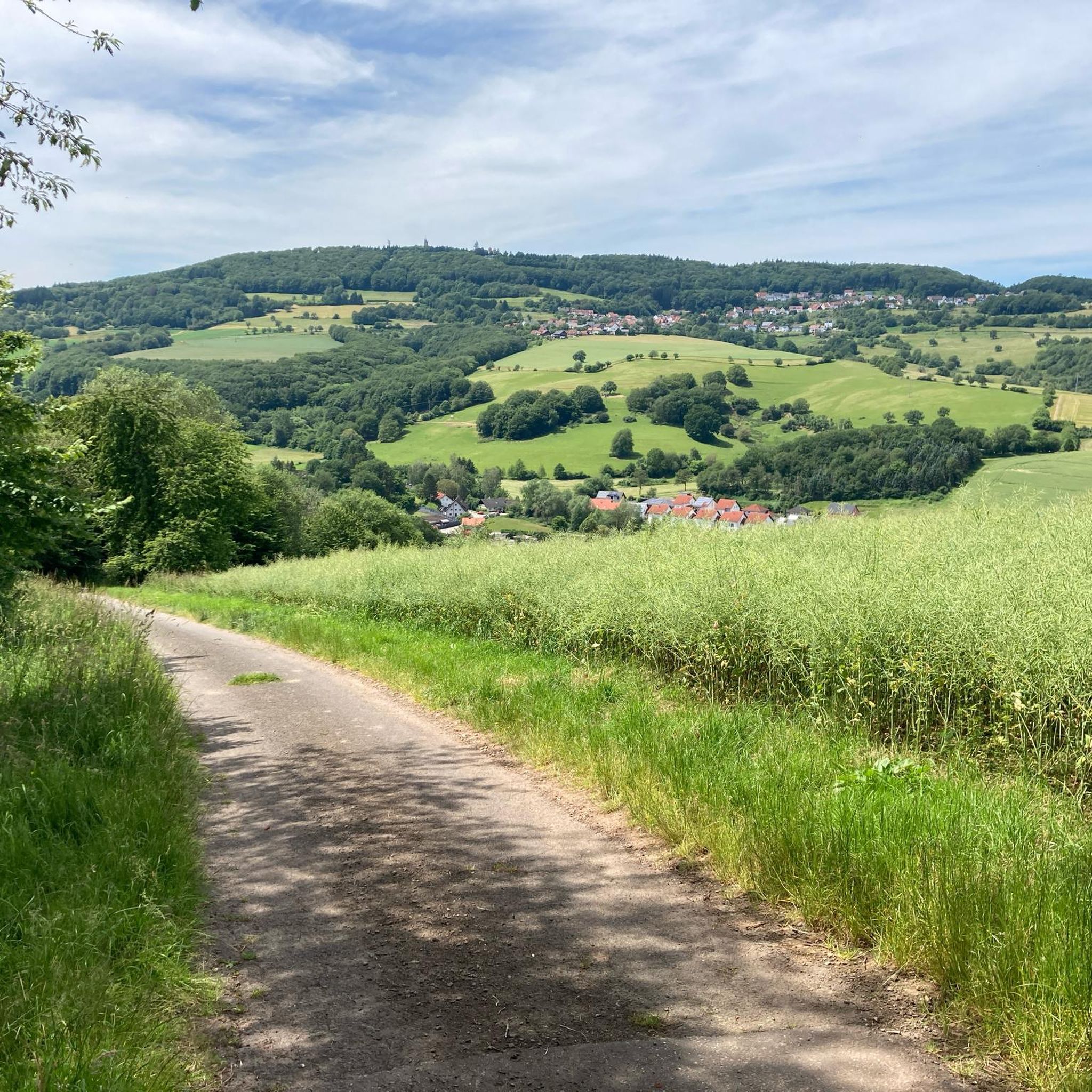
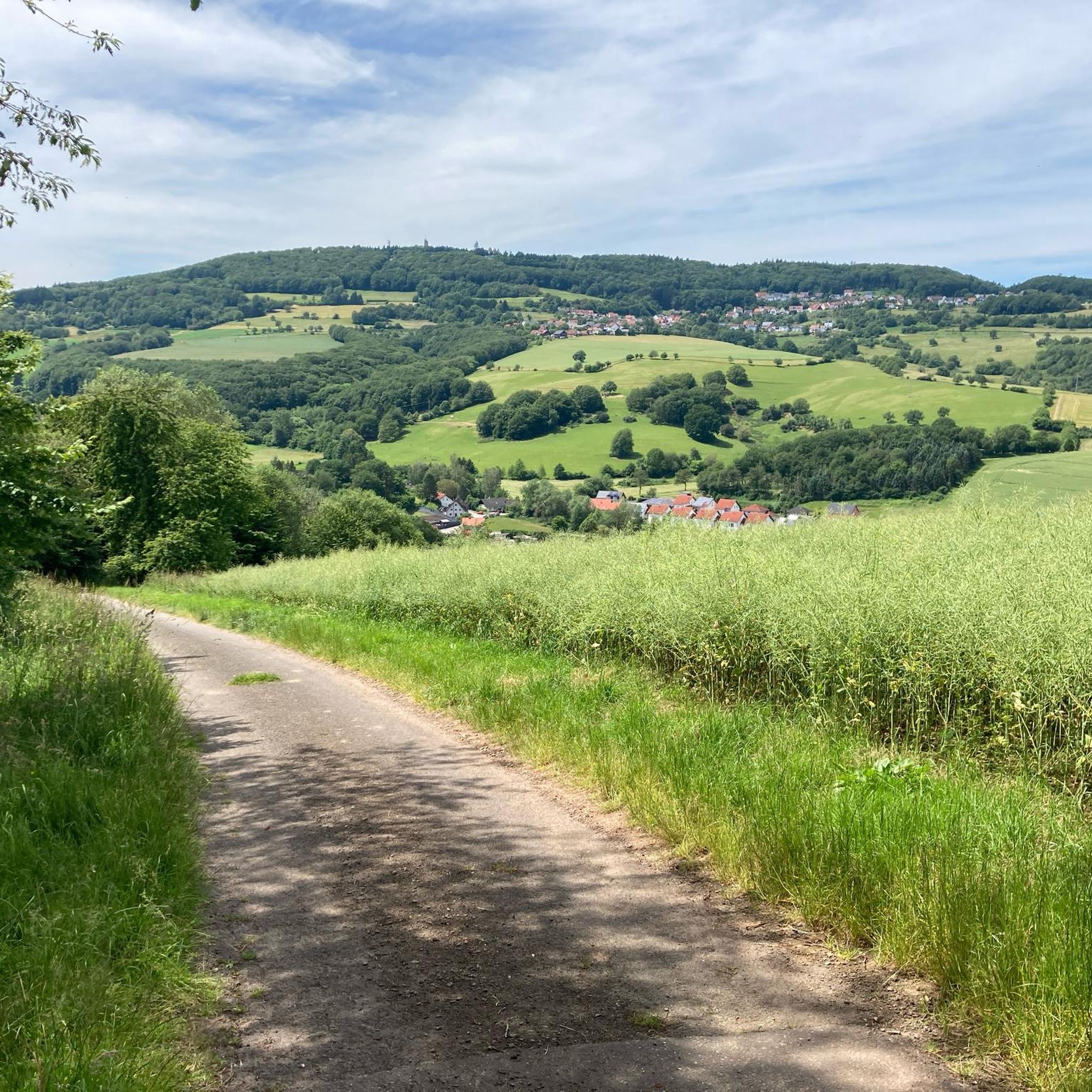
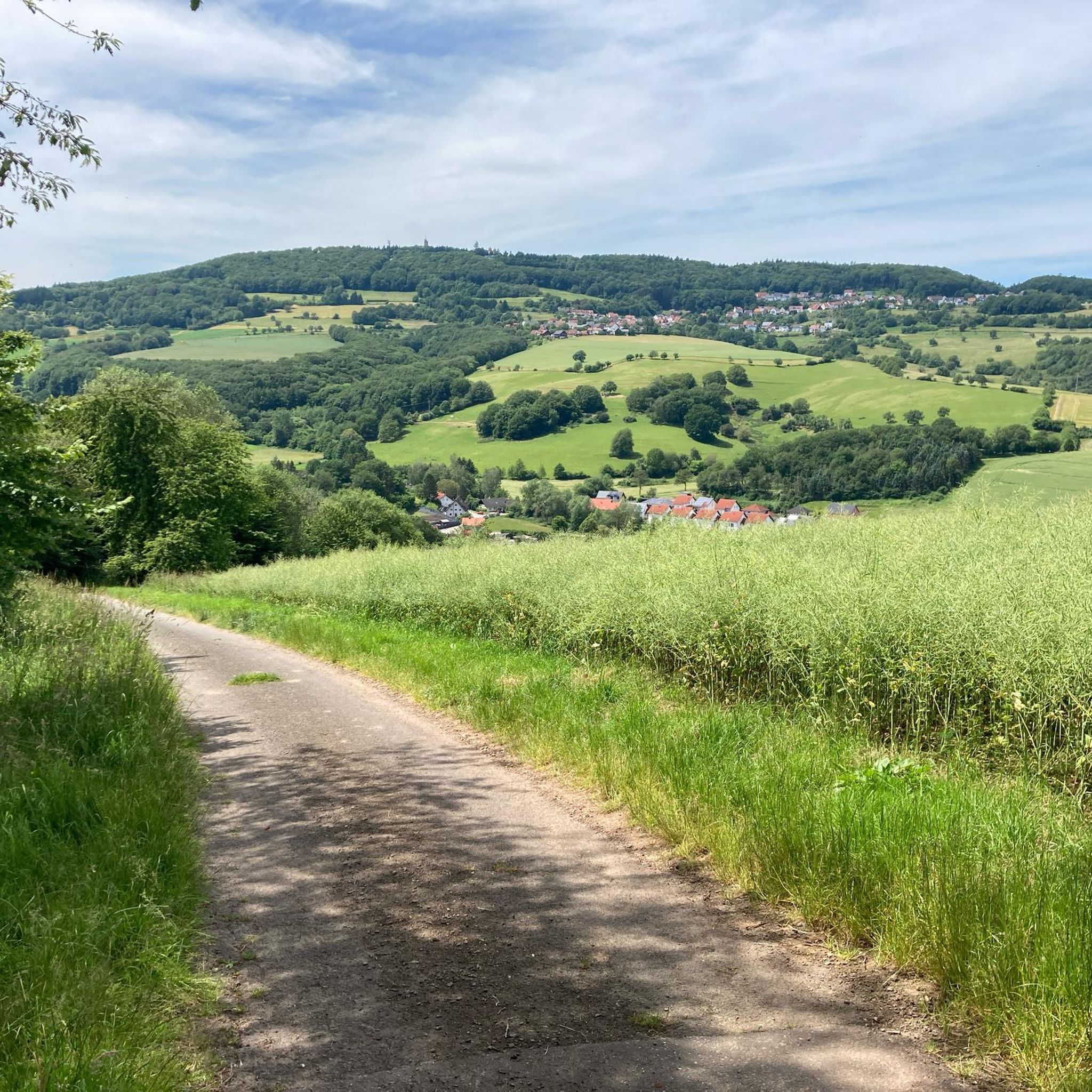
Jogging routes around Oberstaufenbach traverse a diverse landscape in the North Palatine Uplands, offering varied terrain for runners. The region is characterized by rolling hills, dense forests, and the scenic Reichenbach valley. Elevations range from 240 to 400 meters above sea level, providing options from gentle paths to more challenging inclines. The area is situated at the foot of the Potzberg massif, which contributes to its varied topography.
Best jogging routes around Oberstaufenbach
- The most popular jogging route is Bachbahn…
Last updated: July 5, 2026
5.0
(1)
33
runners
11.3km
01:11
80m
80m
Moderate run. Good fitness required. Mostly paved surfaces. Suitable for all skill levels.
13
runners
16.7km
01:45
110m
110m
Hard run. Very good fitness required. Mostly paved surfaces. Suitable for all skill levels.

Sign up for free
8
runners
Hard run. Very good fitness required. Mostly paved surfaces. Suitable for all skill levels.
5
runners
6.03km
00:45
240m
240m
Moderate run. Good fitness required. Mostly accessible paths. Some sure footedness required.
5.0
(3)
5
runners
6.16km
00:41
80m
80m
Moderate run. Good fitness required. Mostly paved surfaces. Suitable for all skill levels.
Get access to more routes and recommendations from other explorers.
Sign up for free
Already have an account?
Our route recommendations are based on thousands of hikes, rides, and runs completed by other people on komoot.
Start today with a free account
Your next adventure awaits.
Login or Signup

Tips from the Community

next to it super bike path
0
0

The Zickzack-Trail on the Potzberg (also called President's Trail or Snake Path) in the Westpfalz is a popular, moderately difficult mountain bike trail with several hairpin turns. It leads in snake-like windings up the 562-meter-high "King of the Westrich" and offers a pleasant gradient.
2
0
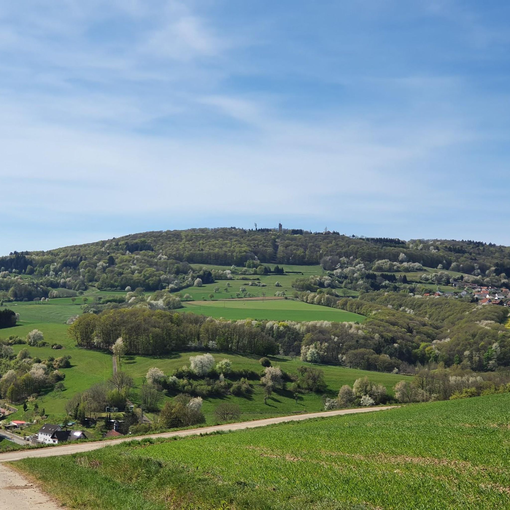
The Potzbergturm is a 35-meter-high sandstone tower on the 562-meter-high Potzberg near Föckelberg (Kusel district). It was built in 1951 (inauguration 13.07.1952), offers a wide view over the Palatinate Forest to the Vosges mountains and is a popular excursion destination. Next to the tower, there is a wildlife park, a falconry, and a hotel-restaurant (closed). It is located on the summit of Potzberg, near Föckelberg (Westpfalz) and offers a panoramic view over Westpfalz, the Palatinate Forest, and up to the Hunsrück/Vosges.
1
0
The Potzbergturm is a 35-meter-high sandstone tower on the 562-meter-high Potzberg near Föckelberg (Kusel district). It was built in 1951 (inauguration 13.07.1952), offers a wide view over the Palatinate Forest to the Vosges and is a popular destination. Next to the tower, there is a wildlife park, a falconry, and a hotel-restaurant. It is located on the summit of Potzberg, near Föckelberg (Westpfalz) and offers a panoramic view over Westpfalz, the Palatinate Forest, and up to the Hunsrück/Vosges. Opening hours: There are no specific, official closing times for the tower.
1
0
The Potzbergturm is a 35-meter-high sandstone tower on the 562-meter-high Potzberg near Föckelberg (Kusel district). It was built in 1951 (inauguration 13.07.1952), offers a wide view over the Palatinate Forest to the Vosges mountains and is a popular excursion destination. Next to the tower, there is a wildlife park, a falconry, and a hotel-restaurant. It is located on the summit of Potzberg, near Föckelberg (Westpfalz) and offers a panoramic view over Westpfalz, the Palatinate Forest, and up to the Hunsrück/Vosges. Opening hours: There are no specific, official closing times for the tower.
1
0

Great view over the Palatinate region!
0
0

This is the St. John the Baptist Church, which was consecrated in 1930.
0
0
Very nicely designed and informative
2
0
Frequently Asked Questions
How many running routes are available in Oberstaufenbach?
Oberstaufenbach offers a wide selection of running routes, with over 320 different options to explore. These include routes of varying difficulty, from easy paths to more challenging trails.
Are there easy running routes suitable for beginners or families in Oberstaufenbach?
Yes, Oberstaufenbach has numerous easy running routes perfect for beginners or families. There are over 50 easy trails, such as the Running loop from Reichenbach, which is about 4.5 km long and features minimal elevation changes. The region's former railway lines, like parts of the Glan-Blies Cycle Route, also offer relatively flat and accessible terrain.
What kind of scenery can I expect on the jogging trails around Oberstaufenbach?
Jogging routes in Oberstaufenbach traverse a diverse and picturesque landscape. You'll find yourself running through dense forests, over rolling hills, and alongside the scenic Reichenbach valley. The area is also at the foot of the Potzberg massif, offering routes with rewarding panoramic views, and features charming stream landscapes typical of Rhineland-Palatinate.
Are there any circular running routes in Oberstaufenbach?
Yes, many of the running routes in Oberstaufenbach are circular, allowing you to start and finish at the same point. Popular options include the Bachbahn Rail Trail loop from Reichenbach, which follows a former railway line, and the Berm height loop from Reichenbach, which takes you through rolling hills and forests.
What do other runners say about the trails in Oberstaufenbach?
The running trails in Oberstaufenbach are highly regarded by the komoot community, holding an average rating of 4.4 stars from over 250 reviews. Runners often praise the varied terrain, the peaceful forest paths, and the scenic views, especially from elevated points like the Potzberg.
Are there any viewpoints or landmarks to see while running in Oberstaufenbach?
Absolutely! Many routes offer scenic viewpoints and interesting landmarks. For panoramic views, consider the Potzberg Tower – View from Potzberg loop from Föckelberg. You might also encounter natural monuments like the Bismarcklinde and Luitpoldlinde, or historical sites such as the Weilerbach Celtic Wagon Grave and the Fünfeckstein Border Marker.
What is the best time of year for running in Oberstaufenbach?
The mild temperatures of spring and autumn are generally considered the best seasons for running in Oberstaufenbach. During these times, nature is either in full bloom or showcasing vibrant autumn foliage, making for a particularly beautiful and comfortable experience on the trails.
Are there any running routes that follow old railway lines?
Yes, the region is known for its former railway lines converted into scenic paths. A prime example is the Bachbahn Rail Trail loop from Reichenbach, which offers a relatively flat and enjoyable run along a historic route. You can also find sections of the Former Glantal Railway Route.
Can I find challenging running trails with significant elevation in Oberstaufenbach?
For runners seeking a challenge, Oberstaufenbach offers routes with notable elevation changes, particularly around the Potzberg massif. The Potzberg Tower – View from Potzberg loop from Föckelberg is a moderate route that includes a substantial ascent, rewarding you with expansive views from the tower at the summit.
Are there any lakes or water features along the running paths?
While Oberstaufenbach itself is in the Reichenbach valley, the broader region features several charming water bodies. You might find routes that pass by the Erdesbach Weir on the Glan or explore areas near lakes like the Laufhauser Weiher, offering peaceful and scenic running environments.
Are the running routes in Oberstaufenbach well-marked?
The region around Oberstaufenbach, known for its extensive network of hiking and cycling paths, generally features well-marked trails. These paths are easily adaptable for running, ensuring you can navigate through the dense forests and rolling hills with confidence.
Most popular routes around Oberstaufenbach
Most popular attractions around Oberstaufenbach

Get inspired with the komoot mobile app


Explore more
Browse the best Running Trails & Routes in other regions.
