The best running trails around Dillendorf
4.4
(95)
993
runners
86
runs
Jogging routes around Dillendorf offer a diverse landscape for runners, situated within the Hunsrück region. The area is characterized by rolling hills and forested paths, providing varied terrain for different running preferences. Elevation changes are generally moderate, making it accessible for a range of fitness levels. The routes often feature scenic views of the surrounding countryside, with some incorporating local landmarks.
Best jogging routes around Dillendorf
- The most popular jogging route is Beautiful switchbacks – Kirchberg Water Tower loop from Kirchberg, a 4.9 miles (7.9 km) trail that takes 56 minutes to complete. This route features engaging switchbacks and passes by the Kirchberg Water Tower.
- Another top favourite among local runners is Beautiful switchbacks loop from Kirchberg (Hunsrück), a moderate 3.9 miles (6.3 km) path. This running route explores the Hunsrück landscape with its characteristic switchbacks and forested sections.
- Local runners also love the Kirchberg Water Tower loop from Kirchberg, a 3.7 miles (5.9 km) trail leading through the local area, often completed in about 37 minutes.
- Jogging around Dillendorf is defined by rolling hills, forested paths, and local landmarks like the Kirchberg Water Tower. The network offers options for easy, moderate, and difficult running, catering to various ability levels.
- The routes in Dillendorf are highly rated by the komoot community with an average score of 4.4 stars from over 80 reviews. Nearly 900 runners have used komoot to explore Dillendorf's varied terrain.
Last updated: October 5, 2026
5.0
(2)
23
runners
7.95km
00:56
120m
120m
Moderate run. Good fitness required. Mostly paved surfaces. Suitable for all skill levels.
5.0
(2)
18
runners
6.25km
00:45
100m
90m
Moderate run. Good fitness required. Mostly paved surfaces. Suitable for all skill levels.

5.0
(1)
10
runners
8.60km
00:54
90m
90m
Moderate run. Good fitness required. Mostly paved surfaces. Suitable for all skill levels.
13
runners
5.89km
00:37
60m
60m
Moderate run. Good fitness required. Mostly paved surfaces. Suitable for all skill levels.
5.0
(3)
12
runners
6.11km
00:38
60m
60m
Moderate run. Good fitness required. Mostly paved surfaces. Suitable for all skill levels.
Get access to more routes and recommendations from other explorers.
Already have an account?
Our route recommendations are based on thousands of hikes, rides, and runs completed by other people on komoot.
Start today with a free account
Your next adventure awaits.
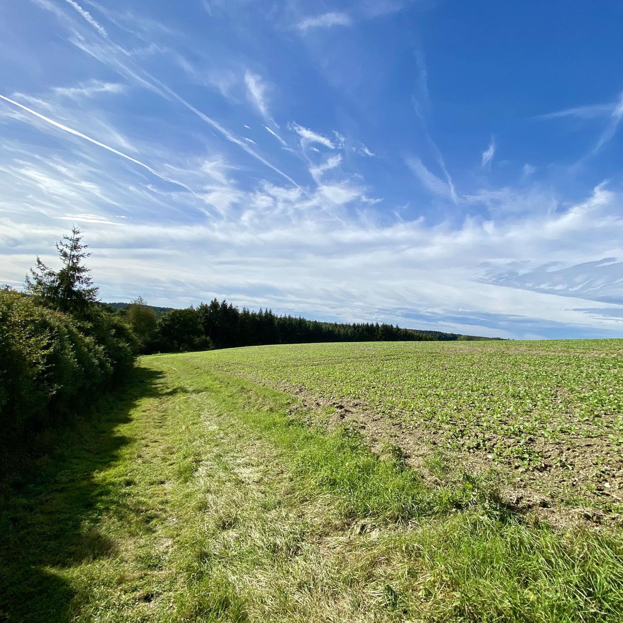
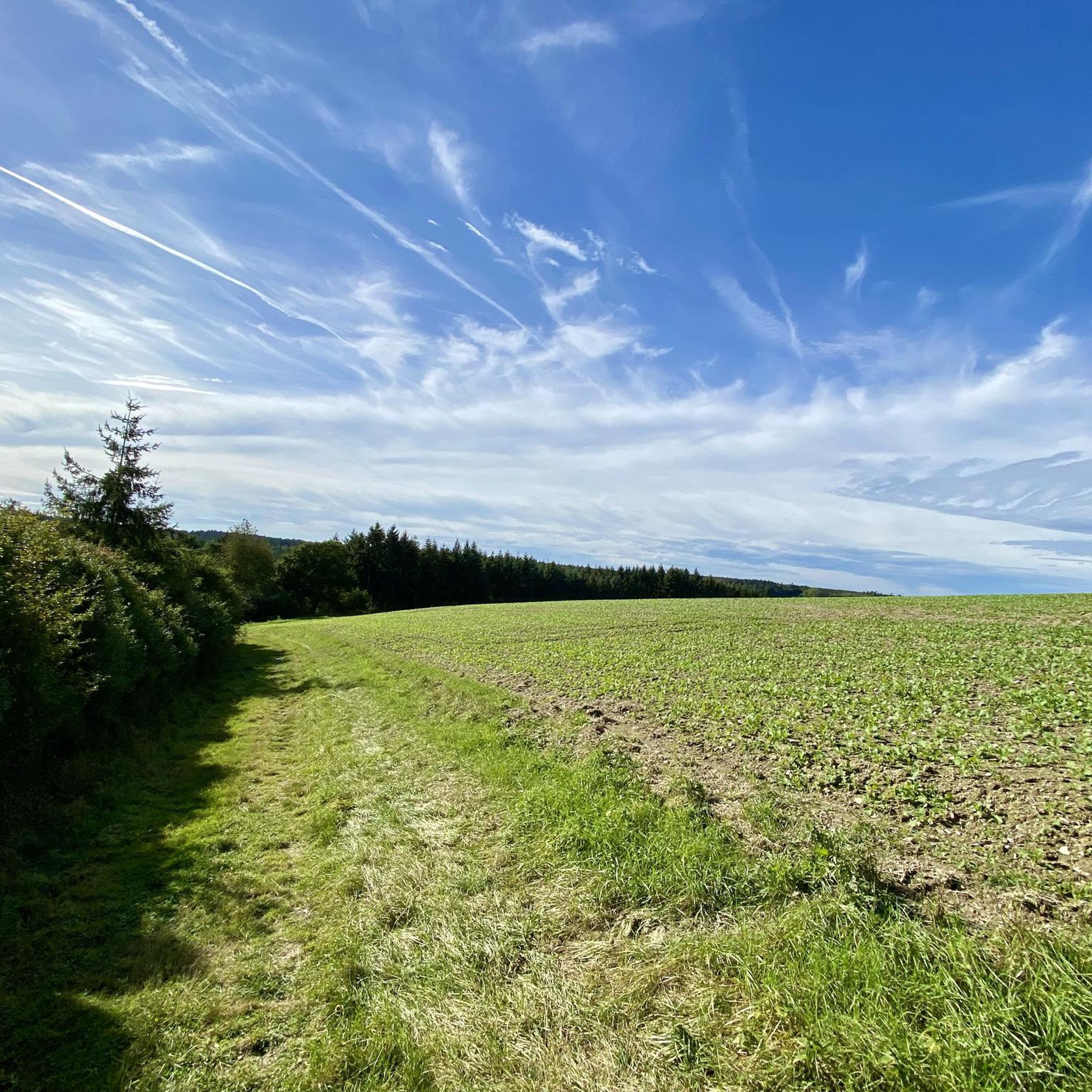
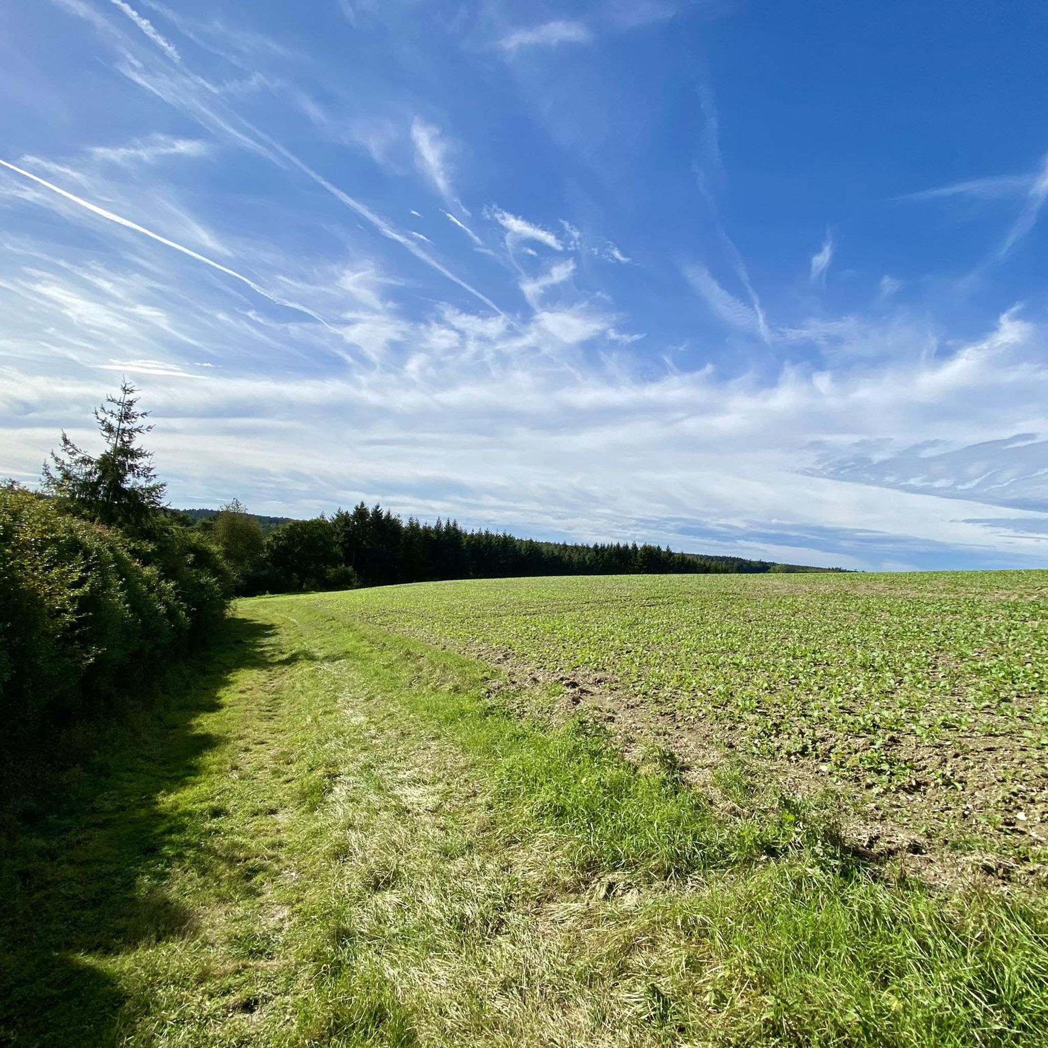
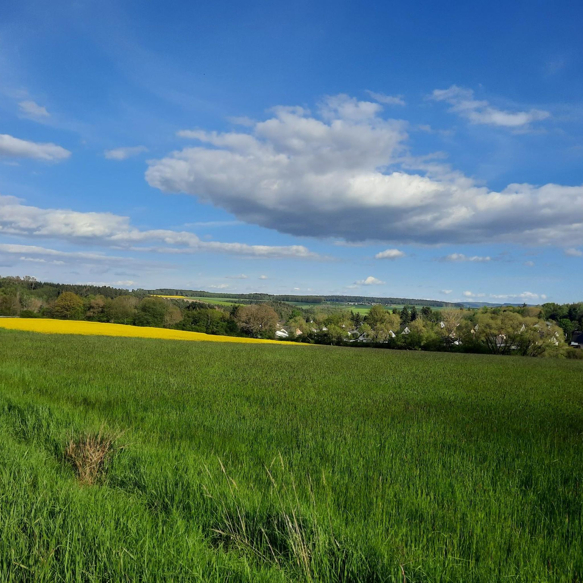

Tips from the Community

Very nice rest area
0
0

The most beautiful water tower I have ever seen!
0
0

The water tower is the landmark of Kirchberg and is clearly visible from afar
0
0
The water tower is the landmark of Kirchberg and is visible from far away
0
0

In 1993, Hahn Airport was converted into a civilian airport and has been growing steadily ever since, also because many cheap flights are offered from here.
12
0

The water tower in Kirchberg is a striking point in the city. Functional yet interesting in its design, it is a local landmark
0
0

Good view of the Idarkopf and across the fields
0
0

The Idarkopfturm is always worth a detour.
0
0
Frequently Asked Questions
How many running routes are available around Dillendorf?
There are nearly 100 running routes around Dillendorf documented on komoot, offering a wide variety of options for different fitness levels and preferences.
What kind of terrain can I expect on running trails in Dillendorf?
The running routes in Dillendorf are characterized by rolling hills and forested paths, typical of the Hunsrück region. This provides varied terrain, with elevation changes generally being moderate, making it accessible for a range of fitness levels.
Are there easy jogging routes suitable for beginners in Dillendorf?
Yes, Dillendorf offers 14 easy jogging routes perfect for beginners or those looking for a relaxed run. These trails typically have less elevation gain and are shorter in distance.
Can I find longer running trails for more challenging workouts in Dillendorf?
Absolutely. For those seeking a more challenging run, there are 11 difficult running routes available around Dillendorf. These trails often feature more significant elevation changes and cover longer distances.
What do other runners say about the trails in Dillendorf?
The running routes in Dillendorf are highly rated by the komoot community, with an average score of 4.4 stars from over 80 reviews. Nearly 900 runners have explored the area, often praising the diverse landscape and well-maintained paths.
Are there any running routes that are circular or loop trails?
Many of the running routes around Dillendorf are designed as loops. For example, the Running loop from Kirchberg is a popular circular trail, offering a convenient way to start and finish your run in the same location.
Are there any interesting landmarks or attractions to see along the running routes?
Yes, several running routes pass by interesting landmarks. You might encounter historical sites like the Herrenberg Show Mine or the Altlayer "Schießkeller". Some trails also offer views of natural features like the Devil's Rock.
Which running routes offer the best scenic views?
Many routes in the Dillendorf area provide scenic views of the surrounding Hunsrück countryside. The Beautiful switchbacks loop from Kirchberg (Hunsrück) is known for exploring the characteristic Hunsrück landscape with its forested sections and engaging switchbacks, offering picturesque vistas.
Can I find running routes that are suitable for families?
While specific 'family-friendly' designations aren't always explicit, the 14 easy running routes in Dillendorf are generally suitable for families looking for a less strenuous activity. These paths often have gentler gradients and shorter distances, making them more accessible for all ages.
Are there any running routes that pass by the Kirchberg Water Tower?
Yes, the Kirchberg Water Tower is a notable landmark in the area. The Kirchberg Water Tower loop from Kirchberg is a 3.7-mile trail that specifically leads through the local area and passes by this tower, offering a distinct point of interest during your run.
What is a good moderate running route to try in Dillendorf?
A great moderate option is the Running loop from Hecken. This 5.5 km route offers a balanced challenge with moderate elevation changes, perfect for a steady run through the local landscape.
Most popular routes around Dillendorf
Most popular attractions around Dillendorf

Get inspired with the komoot mobile app


Explore more
Browse the best Running Trails & Routes in other regions.
