The best walks and hikes around Saint-Ciergues
4.5
(328)
1,722
hikers
96
hikes
Hiking around Saint-Ciergues, a municipality in the Haute-Marne department of the Grand Est region in France, offers routes through varied natural landscapes. The terrain features woodlands, agricultural land, and pastures, with elevations ranging from 329 to 457 meters above sea level. Many trails provide views of local lakes, such as Lac de la Mouche, and traverse the gentle hills characteristic of the region. The area provides a tranquil setting for outdoor activities.
Best hiking trails around Saint-Ciergues
- The most popular…
Last updated: July 7, 2026
4.6
(24)
142
hikers
6.72km
01:45
40m
40m
Easy hike. Great for any fitness level. Easily-accessible paths. Suitable for all skill levels.
2
hikers
17.6km
04:42
190m
190m
Moderate hike. Good fitness required. Easily-accessible paths. Suitable for all skill levels.

Sign up for free
5.0
(5)
12
hikers
Moderate hike. Good fitness required. Easily-accessible paths. Suitable for all skill levels.
5.0
(3)
6
hikers
15.7km
04:14
190m
190m
Moderate hike. Good fitness required. Easily-accessible paths. Suitable for all skill levels.
5.0
(2)
8
hikers
3.59km
00:59
50m
50m
Easy hike. Great for any fitness level. Easily-accessible paths. Suitable for all skill levels.
Get access to more routes and recommendations from other explorers.
Sign up for free
Already have an account?
Our route recommendations are based on thousands of hikes, rides, and runs completed by other people on komoot.
Start today with a free account
Your next adventure awaits.
Login or Signup

Tips from the Community

Wash house from 1901 with a cast-iron lion's head as a spout. This bronze lion's head, frequently used in the region, is intended to protect the spring water.
0
0
Kirche St. Vailler, rebuilt in the 19th century.
0
0


The Diamond Point Fort is a 19th century fortification which was part of the city's defensive system. The fort is located on a hill overlooking the Mouche and Bonnelle valleys, offering panoramic views of the countryside. You can explore the casemates, barracks, powder magazine and ramparts of the fort, and learn about its history and role in the Franco-Prussian War and the First World War. The fort also hosts various events and activities throughout the year, such as concerts, markets and festivals.
2
0
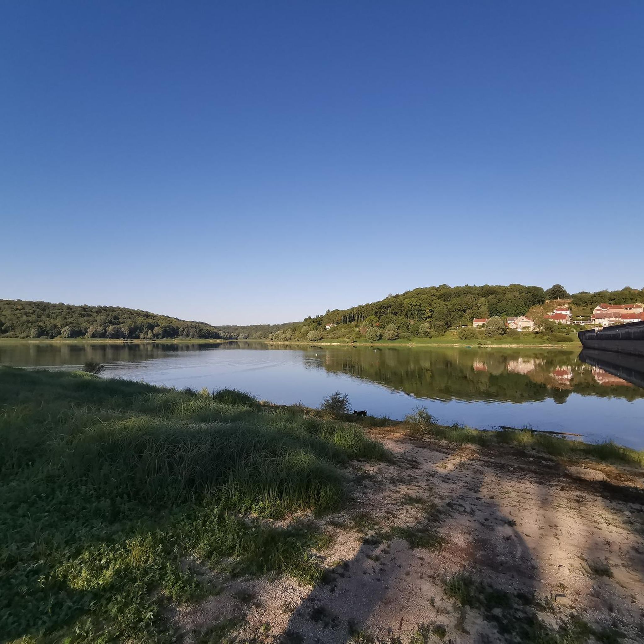
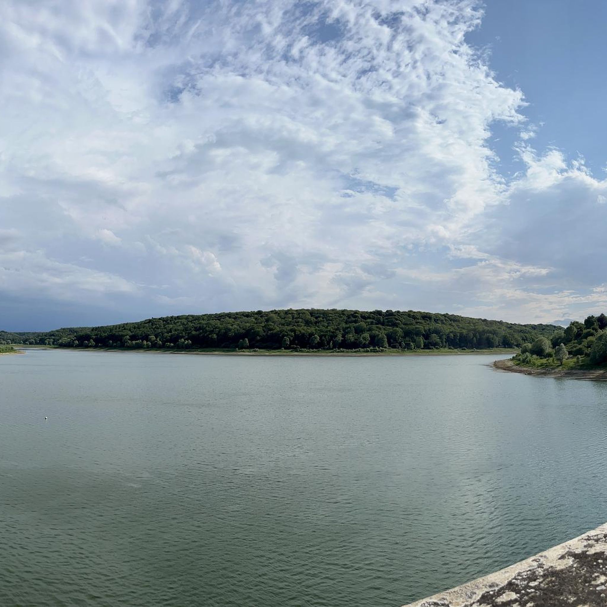
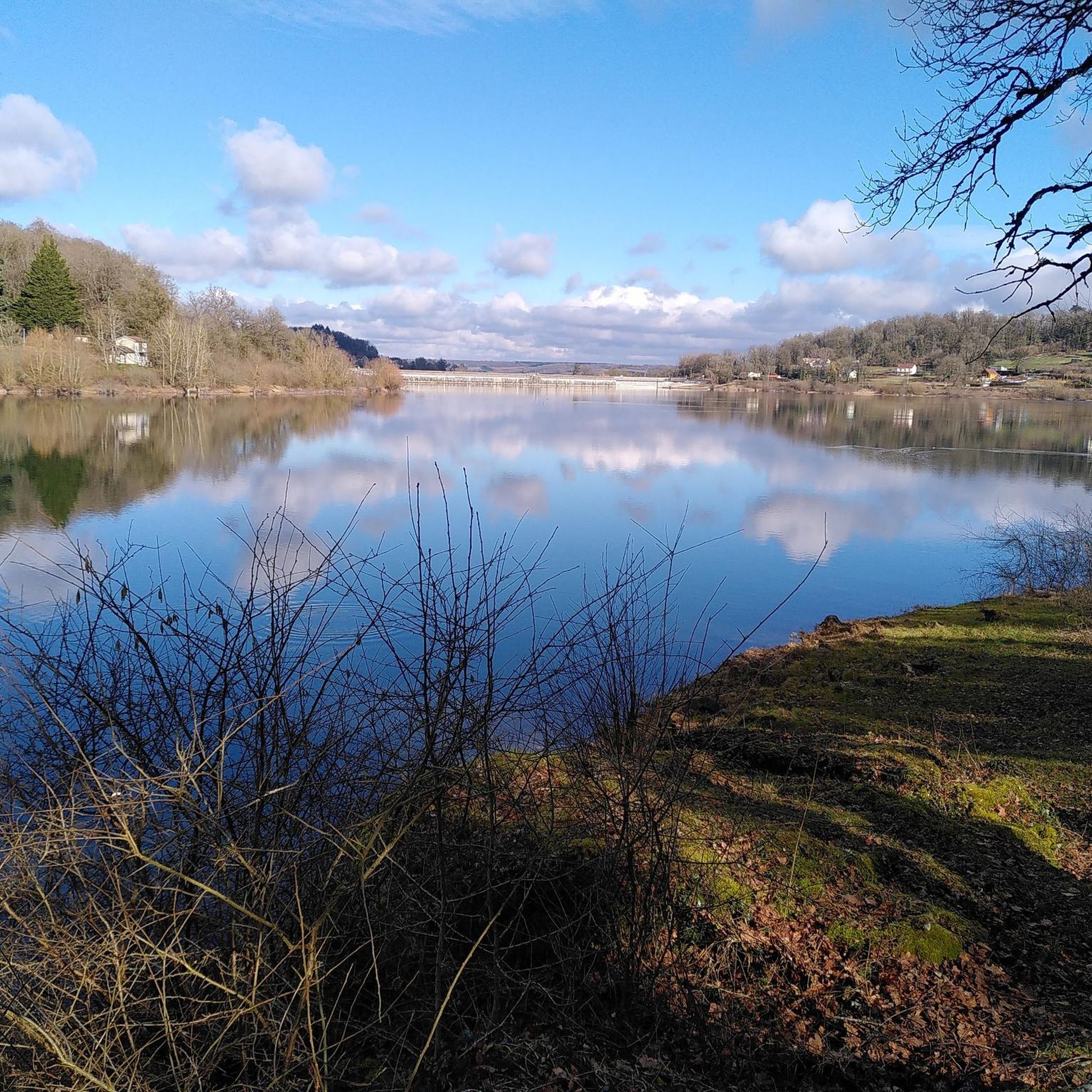
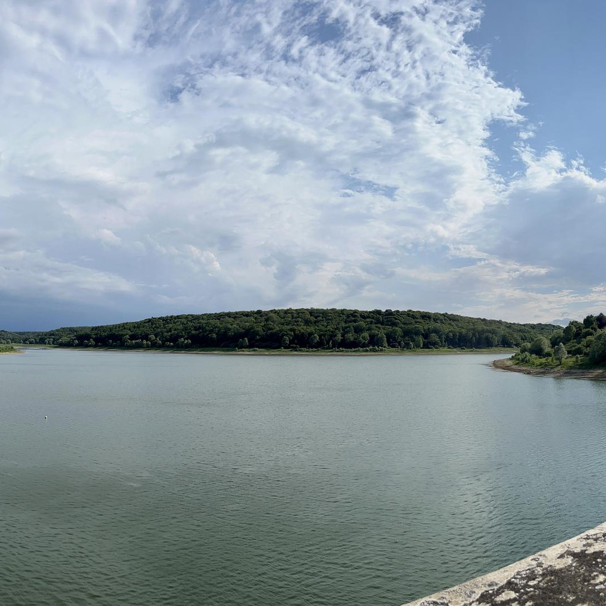
Lac de la Mouche is surrounded by forests and villages where you can admire views of the water and wildlife, as well as the impressive semi-viaduct dam that holds back the lake. The trail is easy and well marked, and you can access it all year round.
2
0
Pointe de Diamant Fort is a 19th century fortification which was part of the city's defensive system. The fort is located on a hill overlooking the Mouche and Bonnelle valleys, offering panoramic views of the countryside. You can explore the casemates, barracks, powder magazine and ramparts of the fort, and discover its history and its role in the Franco-Prussian War and the First World War. The fort also hosts various events and activities throughout the year, such as concerts, markets and festivals. The fort is open to visitors from April to October. Diamond Point Fort is an excellent destination for hikers interested in history, culture and nature.
3
0
This natural wonder is the Tufière de Saint-Ciergues. It is a small tuff formation that is created by the deposition of limestone on moss, forming a series of small waterfalls. Tuff is a porous stone which gives its name to the site. You can enjoy the view of the tuff and the surrounding forest, but be careful not to step on it, because it is very fragile and must be preserved.
3
0
Frequently Asked Questions
How many hiking trails are available around Saint-Ciergues?
There are over 100 hiking trails in the Saint-Ciergues area, offering a wide range of options for different skill levels. These include easy, moderate, and difficult routes through varied landscapes.
What kind of terrain can I expect on hikes around Saint-Ciergues?
Hikes around Saint-Ciergues predominantly traverse woodlands, agricultural land, and pastures. You can expect gentle hills with elevations ranging from 329 to 457 meters. Many routes also offer views of local lakes, such as Lac de la Mouche, and some paths wind along the foot of jagged cliffs.
Are there easy hiking options suitable for beginners in Saint-Ciergues?
Yes, Saint-Ciergues offers 39 easy hiking routes. A great option for beginners is the Tour du Lac de la Mouche, an easy 4.2-mile (6.7 km) trail that circles the lake with minimal elevation gain, typically taking about 1 hour 45 minutes.
Are there any circular walks in the Saint-Ciergues area?
Yes, many trails around Saint-Ciergues are designed as loops. For example, the Fort de la pointe de Diamant — loop from Humes is a moderate 10.9-mile (17.6 km) circular path, and the View of the reservoir loop from Saint-Ciergues is an easy 3.6-mile (3.6 km) option.
What natural features or landmarks can I see while hiking near Saint-Ciergues?
The region is rich in natural beauty. You'll encounter extensive woodlands, open farmland, and views of several lakes, including Lac de la Mouche. Some routes feature ecological trails along cliffs. For specific points of interest, you can visit Lake Mouche or explore the broader 'Pays des 4 Lacs' area.
Are there any lakes I can hike around or visit in the area?
Absolutely. The region is known for its lakes. You can hike around Lake Mouche, which is a prominent feature in many local routes. The broader area also includes Lac de la Liez, approximately 9.4 km from Saint-Ciergues, and Lac de Charmes.
What do other hikers enjoy most about hiking in Saint-Ciergues?
The area is highly rated by the komoot community, with an average score of 4.5 stars from nearly 300 reviews. Hikers often praise the tranquil setting, varied landscapes of forests and fields, and the scenic views of the lakes.
Is Saint-Ciergues suitable for family-friendly hikes?
Yes, the area offers many easy routes that are suitable for families. The varied scenery of woodlands and open spaces, along with picnic areas available along some trails, makes it a pleasant destination for family outings. The Tour du Lac de la Mouche is a particularly good choice for families due to its easy terrain.
Can I bring my dog on the hiking trails in Saint-Ciergues?
Most trails in natural areas like Saint-Ciergues are generally dog-friendly, though it's always recommended to keep dogs on a leash, especially when passing through agricultural land or near wildlife. There are no specific restrictions mentioned, but responsible pet ownership is encouraged.
What is the best time of year to go hiking in Saint-Ciergues?
The region offers a serene and natural setting for hiking, making spring, summer, and early autumn ideal. During these seasons, the weather is generally pleasant for exploring the woodlands, farmlands, and lake views. Always check local weather forecasts before heading out.
Are there any longer, more challenging hikes available?
Yes, for those seeking a longer challenge, routes like the Place de la Fontaine – Lac de la Mouche loop from Perrancey-les-Vieux-Moulins offer an 11.7-mile (18.8 km) trail through forests and past the lake, with a significant elevation gain, typically completed in about 5 hours.
Is public transport available to reach the hiking areas around Saint-Ciergues?
Information on direct public transport links specifically for hikers to Saint-Ciergues is limited. Given it's a small municipality, personal vehicle access is generally the most convenient way to reach trailheads. It's advisable to plan your journey accordingly.
Most popular routes around Saint-Ciergues
Most popular attractions around Saint-Ciergues

Get inspired with the komoot mobile app


Explore more
Browse the best Hikes in other regions.
