The best mountain hikes around Prath
4.0
(1)
14
hikers
3
hikes
Mountaineering routes around Prath are characterized by steep river valleys, rocky outcrops, and historic landscapes of the Rhein-Lahn-Kreis. The region offers varied terrain, including challenging via ferrata sections and paths along elevated ridges, providing views over the Rhine River. These routes often feature significant elevation changes within relatively short distances, typical of the Middle Rhine Valley.
Best mountaineering routes around Prath
- The most popular mountaineering route is Oelsberg Via Ferrata loop from Boppard, a 1.8 miles (2.9 km) trail…
Last updated: August 25, 2026
4.0
(1)
11
hikers
3.10km
01:08
120m
130m
Hard mountaineering route. Great for any fitness level. Sure-footedness, sturdy shoes and alpine experience required.
2
hikers
2.62km
01:04
200m
200m
Easy mountaineering route. Great for any fitness level. Easily-accessible paths. Suitable for all skill levels.

Sign up for free
1
hikers
5.91km
01:52
210m
210m
Hard mountaineering route. Great for any fitness level. Sure-footedness, sturdy shoes and alpine experience required.
Our route recommendations are based on thousands of hikes, rides, and runs completed by other people on komoot.
Start today with a free account
Your next adventure awaits.
Login or Signup

Tips from the Community

Those who are sure-footed and fit do not need equipment. This way you can climb at least 3x faster. For children, unsure or inexperienced people, please be sure to use climbing equipment.
0
0
Those who are sure-footed and fit do not need any equipment. This allows you to climb at least 3x faster. For children, unsure or inexperienced individuals, please be sure to use climbing equipment.
0
0

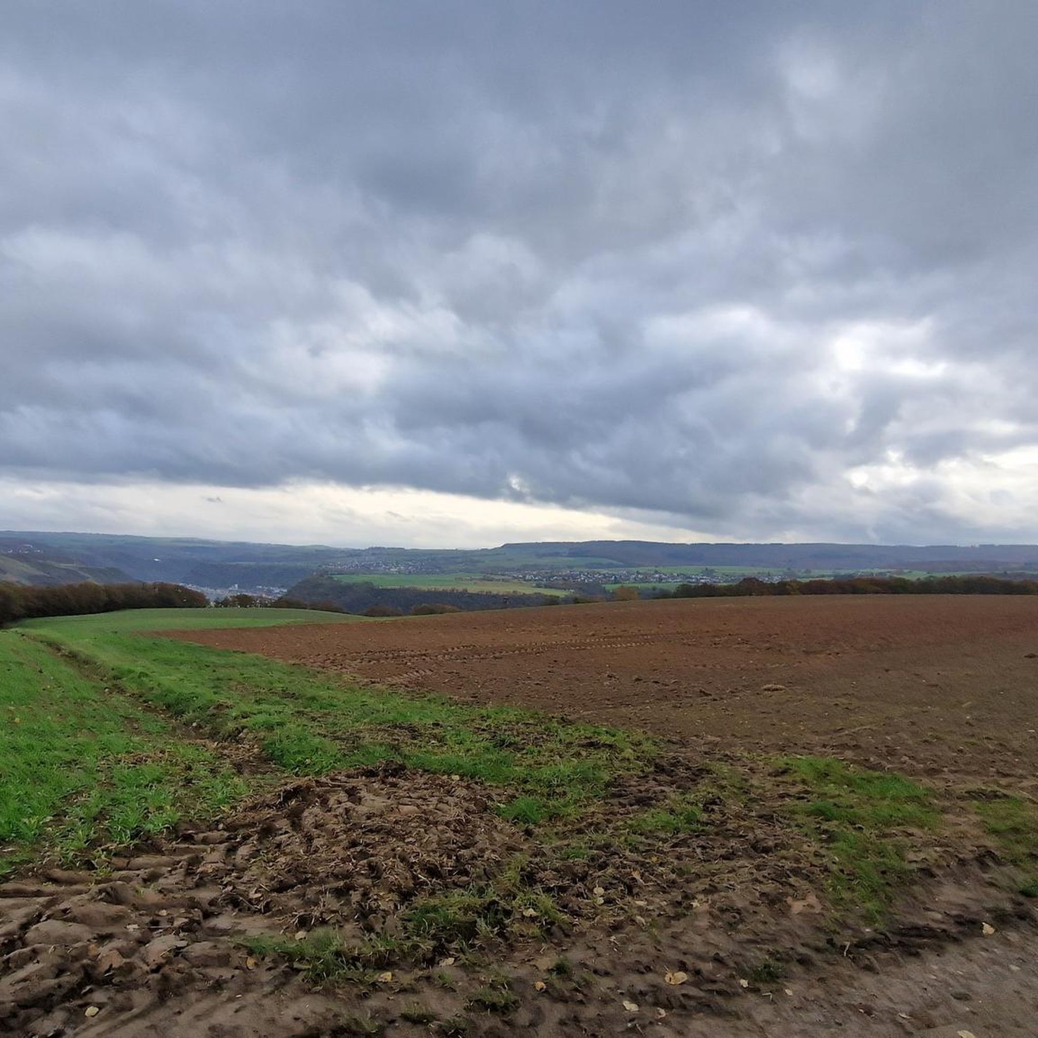
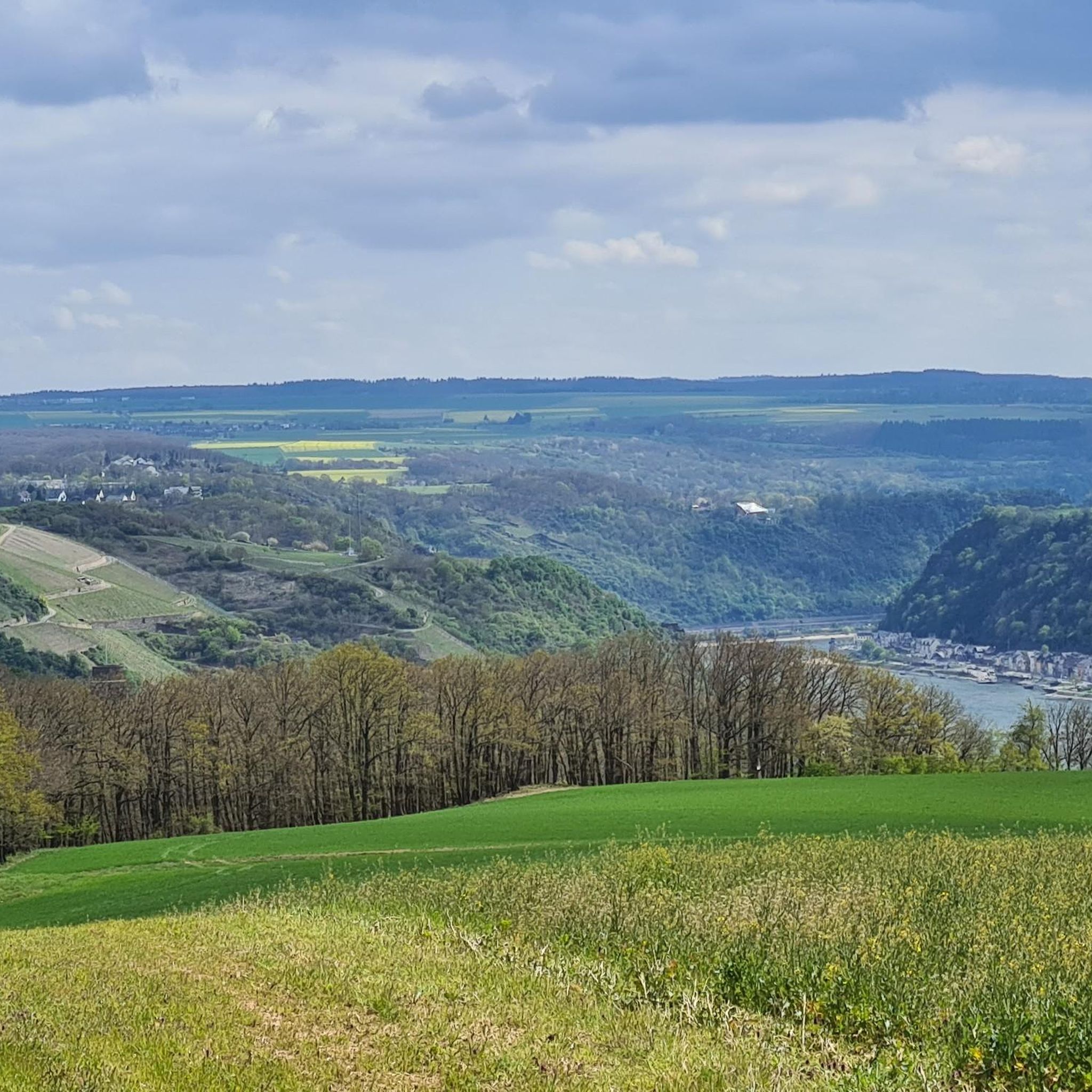
Wow, when you are at the Gedeonsblick for the first time and look at the Rhine loop, you are overwhelmed by this view. I was lucky enough to enjoy this view alone in the middle of the week in brilliant sunshine ☀️.
0
0

Wagon tracks deeply carved into the rock – evidence of centuries of use of this steep path by horse-drawn carts.
0
0

The Kronprinzenweg is beautiful, and the descent through the deciduous forest is also great. The path here is so narrow that you can only walk one behind the other. The ascent, however, really wore me out. Although there are always beautiful views, it was very strenuous, with many climbing sections (despite the hiking variant). I needed more than 2 hours and a lot of strength just for that. "For every fitness level" doesn't fit here. For me, it was nice that 2 restaurants were immediately available at the top. Tip for those unwilling to climb: Both the start and end points of the cable car are directly on the route.
0
0

Haven't been there in a long time, drove past again. A beautiful, not too demanding via ferrata, which you can - if you want - also do without additional safety equipment (although I cannot recommend it (!) without sufficient experience with secured routes). However, it is perfect for beginners in small via ferratas (children) to practice and learn.
0
0

The necessary equipment and a cool refreshment after the via ferrata are available at the Basecamp in Boppard - Mühltal 6, Boppard.
0
0

Unique view of the Rhine loop.....
0
0
Frequently Asked Questions
Are there mountaineering routes suitable for beginners around Prath?
Yes, the region offers options for various skill levels. For an easier experience with panoramic views, consider the Bench With a View of Boppard loop from Boppard. This route is classified as easy and provides stunning vistas of the Rhine River.
What kind of challenges can I expect on advanced mountaineering routes near Prath?
Advanced routes in the Prath area often feature significant elevation changes and technical sections. For example, the Oelsberg Via Ferrata loop from Boppard includes fixed cables and ladders along steep rock faces, typical of the challenging via ferrata sections found in the Middle Rhine Valley.
Are there any circular mountaineering routes in the Prath area?
Yes, all the highly-rated mountaineering routes around Prath are designed as loops. This includes the challenging Oelsberg Via Ferrata loop from Boppard and the historic Oberwesel City Wall and Towers – View of Oberwesel loop from Oberwesel.
What are some notable natural attractions or landmarks along the mountaineering routes?
The region is rich in natural beauty and historical sites. You might encounter features like the Pulsbach Gorge or the St. Goar Waterfall. The routes also offer views of the Rhine River and pass through historic landscapes of the Rhein-Lahn-Kreis.
Are there any routes that offer historical insights or pass through old fortifications?
Absolutely. The Oberwesel City Wall and Towers – View of Oberwesel loop from Oberwesel is an excellent choice. This route leads directly through historic city fortifications, offering a unique blend of mountaineering and cultural exploration with vistas of the Rhine.
What is the typical duration for mountaineering routes around Prath?
The duration varies depending on the route's length and difficulty. For instance, the Oelsberg Via Ferrata loop from Boppard typically takes about 1 hour, while the longer Oberwesel City Wall and Towers – View of Oberwesel loop from Oberwesel can take around 1 hour 54 minutes.
What kind of terrain can I expect on mountaineering routes in the Prath region?
The terrain around Prath is characterized by steep river valleys, rocky outcrops, and forested slopes. You'll find paths along elevated ridges offering views over the Rhine River, and some routes include challenging via ferrata sections.
Are there any facilities or camping options near the mountaineering trails?
While specific cafes directly on the trails are not detailed, you can find facilities such as the Sonneneck Camping Park in the broader region, which might be convenient for those looking for overnight stays or amenities.
What are the best routes for panoramic views of the Rhine River?
Many routes in the region offer stunning views of the Rhine. The Bench With a View of Boppard loop from Boppard is specifically highlighted for its panoramic views of the Rhine River and the town of Boppard from elevated viewpoints.
How many mountaineering routes are available in the Prath area?
There are at least 3 highly-rated mountaineering routes around Prath featured in this guide, showcasing the diverse landscape from easy scenic paths to difficult via ferrata challenges.
What makes the mountaineering experience unique in the Rhein-Lahn-Kreis region?
The mountaineering experience in the Rhein-Lahn-Kreis is unique due to its combination of natural beauty and historical significance. You'll navigate steep river valleys, encounter rocky outcrops, and explore historic landscapes, often with dramatic views of the Rhine River and its charming towns.
Most popular attractions around Prath

Get inspired with the komoot mobile app


Explore more
Browse the best Mountain Hikes & Routes in other regions.
